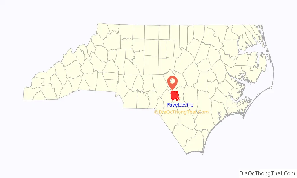
Fayetteville (/ˈfeɪətvɪl, ˈfɛdvɪl/) is a city in and the county seat of Cumberland County, North Carolina, United States. It is best known as the home of Fort Bragg, a major U.S. Army installation northwest of the city.
Fayetteville has received the All-America City Award from the National Civic League three times. As of the 2020 census, it had a population of 208,501, It is the 6th-largest city in North Carolina. Fayetteville is in the Sandhills in the western part of the Coastal Plain region, on the Cape Fear River.
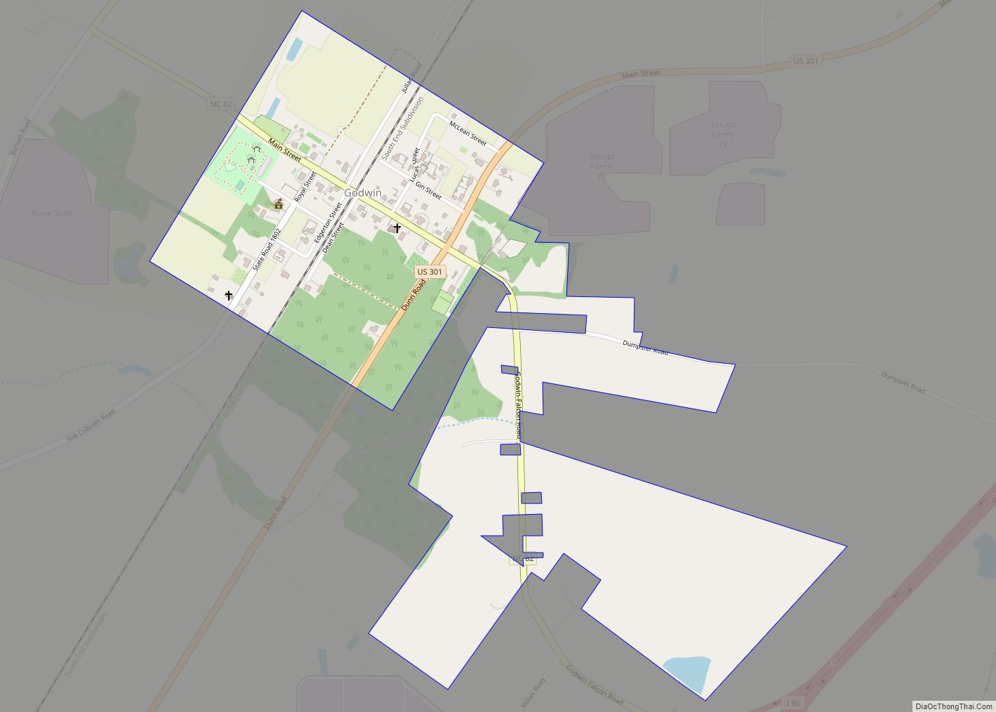
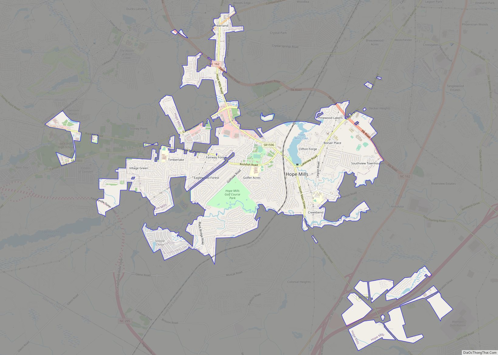
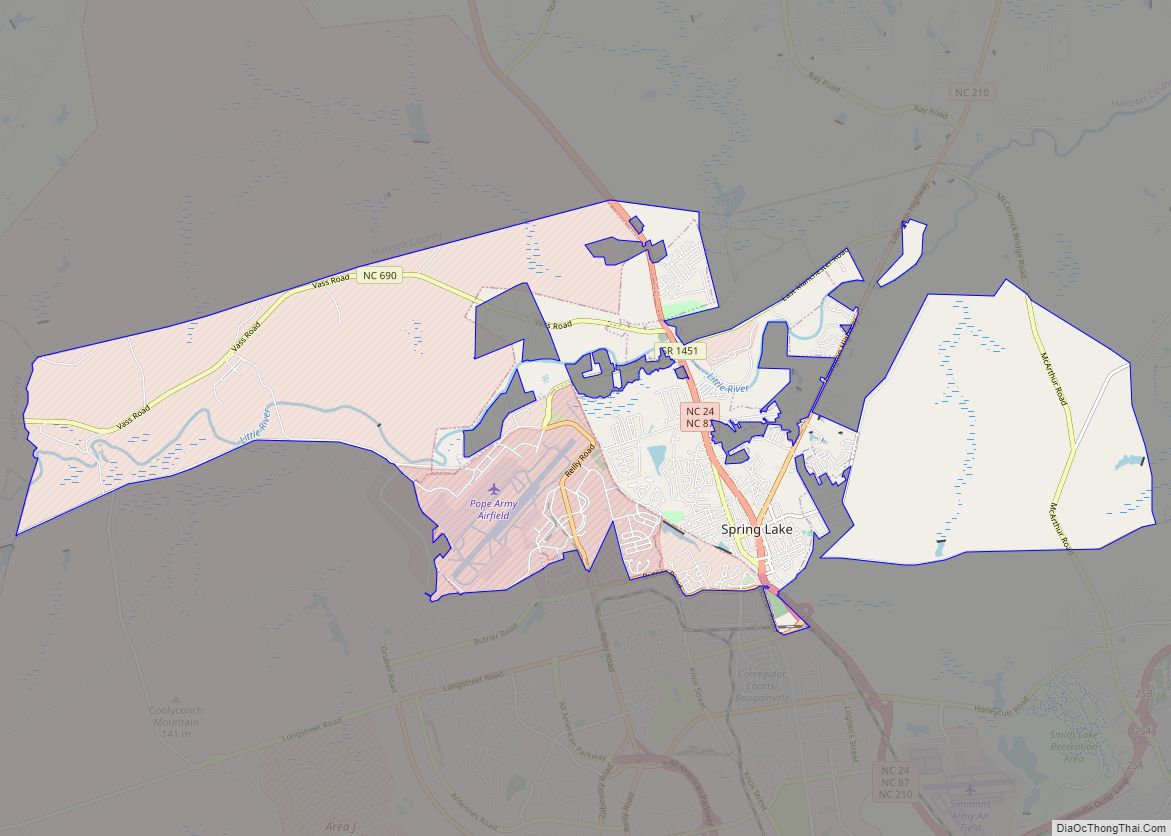
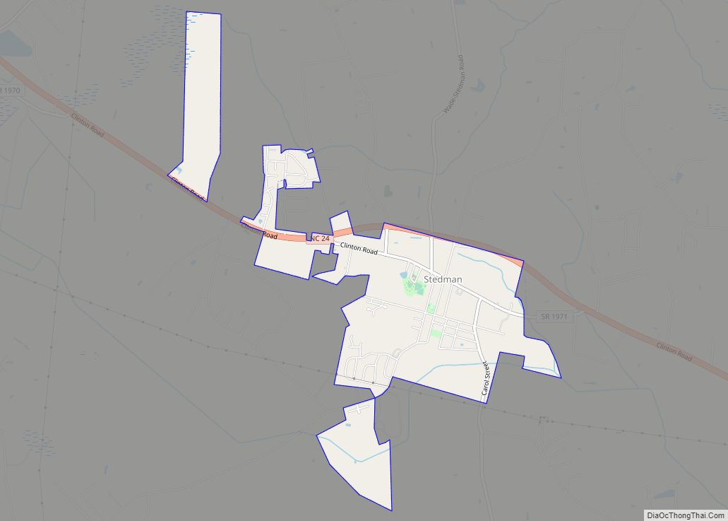
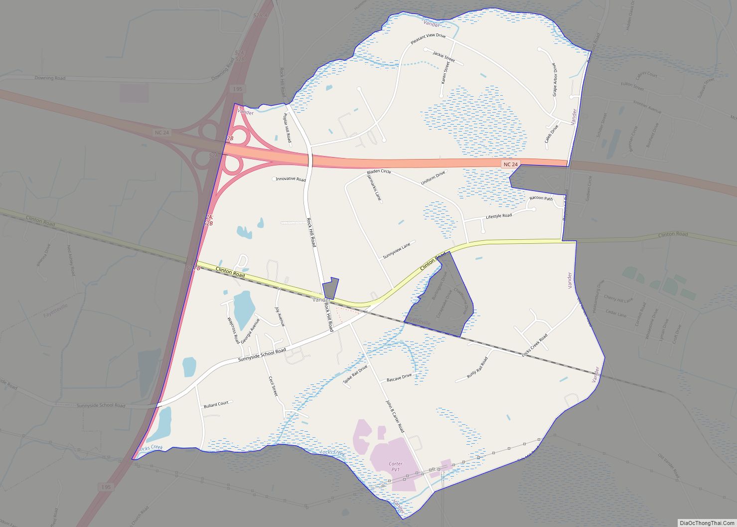
With a population in 2020 of 529,252 people, the Fayetteville metropolitan area is the largest in southeastern North Carolina and the fifth-largest in the state. Suburban areas of metro Fayetteville include Fort Bragg, Hope Mills, Spring Lake, Raeford, Pope Field, Rockfish, Stedman, and Eastover.
| Name: | Fayetteville city |
|---|---|
| LSAD Code: | 25 |
| LSAD Description: | city (suffix) |
| State: | North Carolina |
| County: | Cumberland County |
| Elevation: | 102 ft (31 m) |
| Land Area: | 148.26 sq mi (383.99 km²) |
| Water Area: | 1.82 sq mi (4.73 km²) |
| Population Density: | 1,406.34/sq mi (542.99/km²) |
| ZIP code: | 28301, 28302, 28303, 28304, 28305, 28306, 28307 (Fort Bragg), 28308 (Pope AAF), 28309, 28310 (Fort Bragg), 28311, 28312, 28314 |
| FIPS code: | 3722920 |
| GNISfeature ID: | 1020226 |
| Website: | www.ci.fayetteville.nc.us |
Online Interactive Map
Click on ![]() to view map in "full screen" mode.
to view map in "full screen" mode.
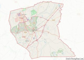
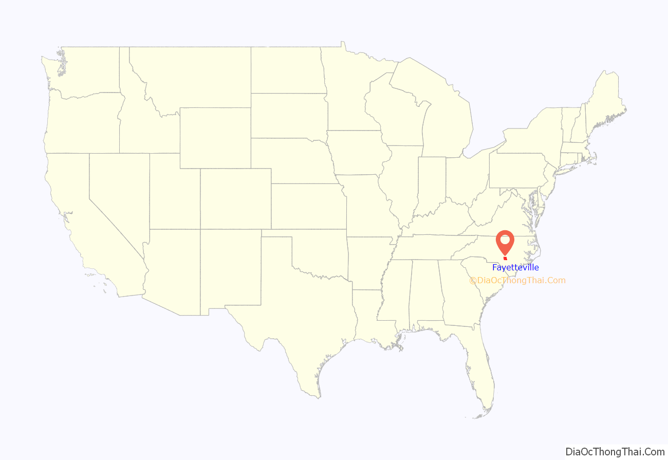
Fayetteville location map. Where is Fayetteville city?
History
Early settlement
The area of present-day Fayetteville was historically inhabited by various Siouan Native American peoples, such as the Eno, Shakori, Waccamaw, Keyauwee, and Cape Fear people. They followed successive cultures of other indigenous peoples in the area for more than 12,000 years.
After the violent upheavals of the Yamasee War and Tuscarora Wars during the second decade of the 18th century, the colonial government of North Carolina encouraged colonial settlement along the upper Cape Fear River, the only navigable waterway entirely within the colony. Two inland settlements, Cross Creek and Campbellton, were established by Scots from Campbeltown, Argyll and Bute, Scotland.
Merchants in Wilmington wanted a town on the Cape Fear River to secure trade with the frontier country. They were afraid people would use the Pee Dee River and transport their goods to Charleston, South Carolina. The merchants bought land from Newberry in Cross Creek. Campbellton became a place where poor whites and free blacks lived and gained a reputation for lawlessness.
In 1783, Cross Creek and Campbellton united, and the new town was incorporated as Fayetteville in honor of Gilbert du Motier, Marquis de Lafayette, a French military hero who significantly aided the American forces during the war. Fayetteville was the first city to be named in his honor in the United States. Lafayette visited the city on March 4 and 5, 1825, during his grand tour of the United States.
American Revolution
The local region was heavily settled by Scots in the mid/late 1700s, and most of these were Gaelic-speaking Highlanders. The vast majority of Highland Scots, recent immigrants, remained loyal to the British government and rallied to the call to arms from the Royal Governor. Despite this, they were eventually defeated by a larger Revolutionary force at the Battle of Moore’s Creek Bridge. The area also included several active Revolutionaries.
In late June 1775, residents drew up the “Liberty Point Resolves,” which preceded the Declaration of Independence by a little more than a year. It said,
Robert Rowan, who apparently organized the group, signed first.
Robert Rowan (circa 1738–1798) was one of the area’s leading public figures of the 18th century. A merchant and entrepreneur, he settled in Cross Creek in the 1760s. He served as an officer in the French and Indian War, as sheriff, justice and legislator, and as a leader of the Patriot cause in the Revolutionary War. Rowan Street and Rowan Park in Fayetteville and a local chapter of the Daughters of the American Revolution are named for him, though Rowan County (founded in 1753) was named for his uncle, Matthew Rowan.
Flora MacDonald (1722–1790), a Scots Highland woman known for aiding Bonnie Prince Charlie after his Highlander army’s defeat at Culloden in 1746, lived in North Carolina for about five years. She was a staunch Loyalist and aided her husband in raising the local Scots to fight for the King against the Revolution.
Seventy-First Township in western Cumberland County (now a part of Fayetteville) is named for a British regiment during the American Revolution – the 71st Regiment of Foot or “Fraser’s Highlanders”, as they were first called.
Post-revolution
Fayetteville had what is sometimes called its “golden decade” during the 1780s. It was the site in 1789 for the state convention that ratified the U.S. Constitution, and for the General Assembly session that chartered the University of North Carolina at Chapel Hill. Fayetteville lost out to the future city of Raleigh in the bid to become the permanent state capital.
In 1793, the Fayetteville Independent Light Infantry formed and is still active as a ceremonial unit. It is the second-oldest militia unit in the country.
Henry Evans (circa 1760–1810), a free black preacher, is locally known as the “Father of Methodism” in the area. Evans was a shoemaker by trade and a licensed Methodist preacher. He met opposition from whites when he began preaching to enslaved people in Fayetteville, but he later attracted whites to his services. He is credited with building the first church in town, the African Meeting House, in 1796. Evans Metropolitan AME Zion Church is named in his honor.
Antebellum
Fayetteville had 3,500 residents in 1820, but Cumberland County‘s population still ranked as the second most urban in the state, behind New Hanover County (Wilmington). Its “Great Fire” of 1831 was believed to be one of the worst in the nation’s history, despite no deaths associated with the incident. Hundreds of homes, businesses, and most of the best-known public buildings were lost, including the old “State House”. Fayetteville leaders moved quickly to help the victims and rebuild the town.
There was no point in rebuilding the State House since the state government was firmly installed in Raleigh. On its site, the city built a Market House, recreating the city around it just as it had previously surrounded the State House. The new building had a covered area under which business could be conducted since every store in Fayetteville had been destroyed in the fire. Completed in 1832, it became the town’s and county’s administrative building. It was a town market until 1906 and served as Fayetteville Town Hall until 1907. Currently (2020), it is a local history museum.
The Civil War era through late 19th century
In March 1865, Gen. William T. Sherman and his 60,000-man army attacked Fayetteville and destroyed the Confederate arsenal (designed by the Scottish architect William Bell). Sherman’s troops also destroyed foundries and cotton factories, and the offices of The Fayetteville Observer. Not far from Fayetteville, Confederate and Union troops engaged in the last cavalry battle of the Civil War, the Battle of Monroe’s Crossroads.
Downtown Fayetteville was the site of a skirmish, as Confederate Lt. Gen. Wade Hampton and his men surprised a cavalry patrol, killing 11 Union soldiers and capturing a dozen on March 11, 1865.
During the late nineteenth century, North Carolina adopted Jim Crow laws that imposed racial segregation.
20th century to present
Cumberland County’s population increased in the post-World War II years, with its 43% increase in the 1960s the largest in any of North Carolina’s 100 counties. Construction was fast-paced as shopping developments, and suburban subdivisions began to spread outside the Fayetteville city limits toward Fort Bragg and Pope Air Force Base. The Fayetteville and Cumberland County school systems moved toward integration gradually, beginning in the early 1960s; busing brought about wider-scale student integration in the 1970s.
Segregation of public facilities continued. Marches and sit-ins during the Civil Rights Movement, with students from Fayetteville State Teachers College (now Fayetteville State University) at the forefront, led to the end of whites-only service at restaurants and segregated seating in theaters. Blacks and women gained office in significant numbers from the late 1960s to the early 1980s.
The Vietnam Era was a time of change in the Fayetteville area. From 1966 to 1970, more than 200,000 soldiers trained at Fort Bragg before leaving for Vietnam. This buildup stimulated area businesses. Anti-war protests in Fayetteville drew national attention because of Fort Bragg, a city that generally supported the war. Anti-war groups invited the actress and activist Jane Fonda to Fayetteville to participate in three anti-war events. The era also saw an increase in crime and drug addiction, especially along Hay Street, with media giving the city the nickname “Fayettenam”. At this time, Fayetteville also made headlines after Army doctor Jeffrey R. MacDonald murdered his pregnant wife and two daughters in their Ft. Bragg home in 1970; the book and movie Fatal Vision were based on these events.
To combat the dispersal of suburbanization, Fayetteville has worked to redevelop its downtown through various revitalization projects; it has attracted large commercial and defense companies such as Purolator, General Dynamics and Wal-Mart Stores and Distribution Center. Development of the Airborne & Special Operations Museum, Fayetteville Area Transportation Museum, Fayetteville Linear Park, and Fayetteville Festival Park, which opened in late 2006, have added regional attractions to the center.
In the first decade of the 21st century, the towns and rural areas surrounding Fayetteville had rapid growth. Suburbs such as Hope Mills, Raeford, and Spring Lake had population increases.
In 2005, Congress passed the Base Realignment and Closure (BRAC) Act, resulting in several new commands relocating to Fort Bragg. These include the U.S. Army Forces Command (FORSCOM) and U.S. Army Reserve Command, both of which relocated from Fort McPherson in Atlanta. More than 30,000 people were expected to relocate to the area with associated businesses and families. FORSCOM awards over $300 billion in contracts annually.
In the November/December 2009 issue of Where to Retire, the magazine named Fayetteville as one of the best places to retire in the United States for military retirements.
In April 2019, a report by GoBankingRates (which analyzed data from 175 American cities) listed Fayetteville as one of the top ten American cities at risk of a severe housing crash. 26.8% of home mortgages in Fayetteville were listed as being “under water”, while the median home value was listed as $108,000.
In December 2015, Fayetteville unveiled the Guinness World Record for the biggest Christmas stocking, weighing approximately 1,600 pounds (730 kg), and measuring 74.5 x 139 feet.
Fort Bragg and Pope Army Airfield
Fort Bragg and Pope Army Airfield Field are in the northern part of the city of Fayetteville.
Several U.S. Army airborne units are stationed at Fort Bragg, most prominently the XVIII Airborne Corps HQ, the 82nd Airborne Division, the United States Army Special Operations Command, the 1st Special Forces Command (Airborne), and the United States Army John F. Kennedy Special Warfare Center and School.
Fort Bragg was the home of the Field Artillery at the onset of World War II. All the Army’s artillery units east of the Mississippi River were based at the post, about 5,000 men. Soldiers tested the Army’s new bantam car, soon known as the Jeep, although most of the power to move artillery still came from horses and burros. On September 12, 1940, the Army contracted to expand the post, bringing the 9th Infantry Division to Fort Bragg.
The mission of Pope Field is to provide airlift to American armed forces and humanitarian missions flown worldwide. Pope Field mainly includes air transportation for the 82nd Airborne, among other airborne units on Fort Bragg.
All of Pope’s fighter jet squadrons have been relocated to Moody AFB, Georgia. The central entity at Pope is now the Air Force Reserve, although they still have a small amount of active personnel.
In September 2008, Fayetteville annexed 85% of Ft. Bragg, bringing the city’s population to 206,000. Ft. Bragg retains its police, fire, and EMS services. Fayetteville hopes to attract large retail businesses to the area using the new population figures.
Sanctuary community for military families
On September 5, 2008, Cumberland County announced it was the “World’s First Sanctuary for Soldiers and Their Families”; it marked major roads with blue and white “Sanctuary” signage. Within the county, soldiers were to be provided with local services, ranging from free childcare to job placement for soldiers’ spouses.
Five hundred volunteers have signed up to watch over military families. They were recruited to offer one-to-one services; member businesses will also offer discounts and preferential treatment. Time magazine recognized Fayetteville for its support of military families and identified it as “America’s Most Pro-Military Town”.
National Register of Historic Places
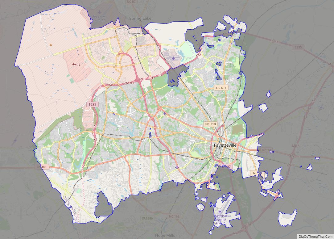
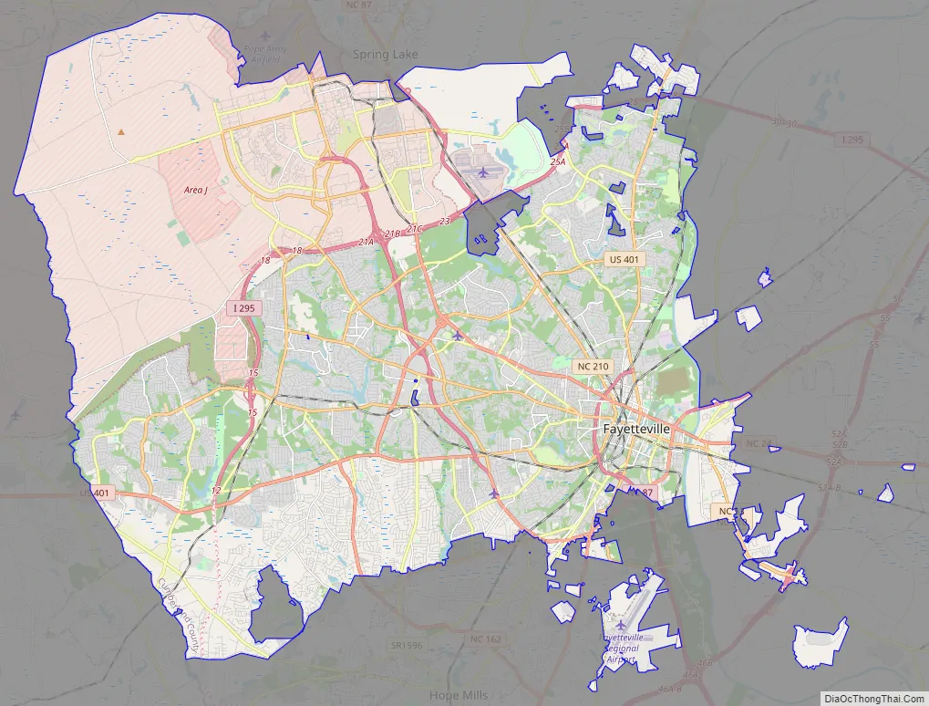
Fayetteville Road Map
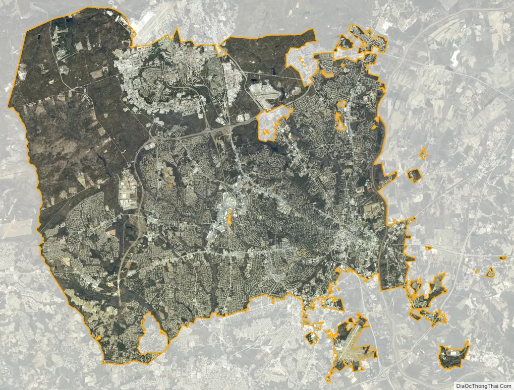
Fayetteville city Satellite Map
Geography
The city limits extend west to the Hoke boundary. It is bordered on the north by the town of Spring Lake.
According to the United States Census Bureau, Fayetteville has a total area of 147.7 square miles (382.6 km), of which 145.8 square miles (377.7 km) is land and 1.9 square miles (4.8 km) is water. The total area is 1.926% water.
Topography
Fayetteville is in the Sandhills of North Carolina, which are between the coastal plain to the southeast and the Piedmont to the northwest. The city is built on the Cape Fear River, a 202-mile-long (325 km) river that originates in Haywood and empties into the Atlantic Ocean. Carver’s Falls, measuring 150 feet (46 m) wide and two stories tall is on Carver Creek, a tributary of the Cape Fear, just northeast of the city limits. Cross Creek rises on the west side of Fayetteville and flows through to the east side of Fayetteville into the Cape Fear River.
Climate
Fayetteville is located in the humid subtropical climate (Köppen climate classification Cfa) zone, with mostly moderate temperatures year round. Winters are mild but can get cool, with snow occurring a few days per year. Summers are hot, with levels of humidity that can cause spontaneous thunderstorms and rain showers. Temperature records range from −5 °F (−21 °C) on February 13, 1899, to 110 °F (43 °C) on August 21, 1983, which was the highest temperature ever recorded in the State of North Carolina. On April 16, 2011, Fayetteville was struck by an EF3 tornado during North Carolina’s largest tornado outbreak. Surrounding areas such as Sanford, Dunn, and Raleigh were also affected.
See also
Map of North Carolina State and its subdivision:- Alamance
- Alexander
- Alleghany
- Anson
- Ashe
- Avery
- Beaufort
- Bertie
- Bladen
- Brunswick
- Buncombe
- Burke
- Cabarrus
- Caldwell
- Camden
- Carteret
- Caswell
- Catawba
- Chatham
- Cherokee
- Chowan
- Clay
- Cleveland
- Columbus
- Craven
- Cumberland
- Currituck
- Dare
- Davidson
- Davie
- Duplin
- Durham
- Edgecombe
- Forsyth
- Franklin
- Gaston
- Gates
- Graham
- Granville
- Greene
- Guilford
- Halifax
- Harnett
- Haywood
- Henderson
- Hertford
- Hoke
- Hyde
- Iredell
- Jackson
- Johnston
- Jones
- Lee
- Lenoir
- Lincoln
- Macon
- Madison
- Martin
- McDowell
- Mecklenburg
- Mitchell
- Montgomery
- Moore
- Nash
- New Hanover
- Northampton
- Onslow
- Orange
- Pamlico
- Pasquotank
- Pender
- Perquimans
- Person
- Pitt
- Polk
- Randolph
- Richmond
- Robeson
- Rockingham
- Rowan
- Rutherford
- Sampson
- Scotland
- Stanly
- Stokes
- Surry
- Swain
- Transylvania
- Tyrrell
- Union
- Vance
- Wake
- Warren
- Washington
- Watauga
- Wayne
- Wilkes
- Wilson
- Yadkin
- Yancey
- Alabama
- Alaska
- Arizona
- Arkansas
- California
- Colorado
- Connecticut
- Delaware
- District of Columbia
- Florida
- Georgia
- Hawaii
- Idaho
- Illinois
- Indiana
- Iowa
- Kansas
- Kentucky
- Louisiana
- Maine
- Maryland
- Massachusetts
- Michigan
- Minnesota
- Mississippi
- Missouri
- Montana
- Nebraska
- Nevada
- New Hampshire
- New Jersey
- New Mexico
- New York
- North Carolina
- North Dakota
- Ohio
- Oklahoma
- Oregon
- Pennsylvania
- Rhode Island
- South Carolina
- South Dakota
- Tennessee
- Texas
- Utah
- Vermont
- Virginia
- Washington
- West Virginia
- Wisconsin
- Wyoming