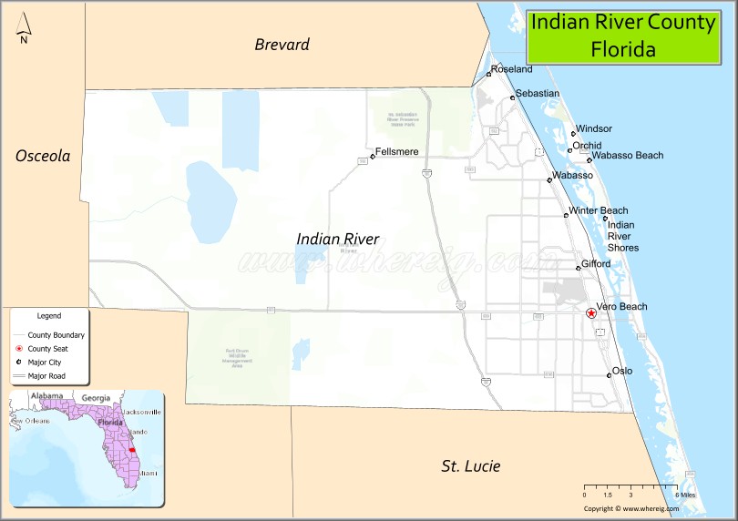
Indian River County (Spanish: Condado de Río Indio) is a county located in the southeastern and east-central portions of the U.S. state of Florida. As of the 2020 census, the population was 159,788. Its seat is Vero Beach. It is Florida’s 7th richest county and in 2000 was the 87th richest county in the U.S. by per capita income.
Indian River County comprises the Sebastian-Vero Beach, Florida, Metropolitan Statistical Area, which is included in the Miami–Fort Lauderdale–Port St. Lucie, Florida, Combined Statistical Area.
| Name: | Indian River County |
|---|---|
| FIPS code: | 12-061 |
| State: | Florida |
| Founded: | May 30, 1925 |
| Named for: | Indian River Lagoon |
| Seat: | Vero Beach |
| Largest city: | Sebastian |
| Total Area: | 617 sq mi (1,600 km²) |
| Land Area: | 503 sq mi (1,300 km²) |
| Total Population: | 159,788 |
| Population Density: | 318/sq mi (123/km²) |
| Time zone: | UTC−5 (Eastern) |
| Summer Time Zone (DST): | UTC−4 (EDT) |
| Website: | www.ircgov.com |
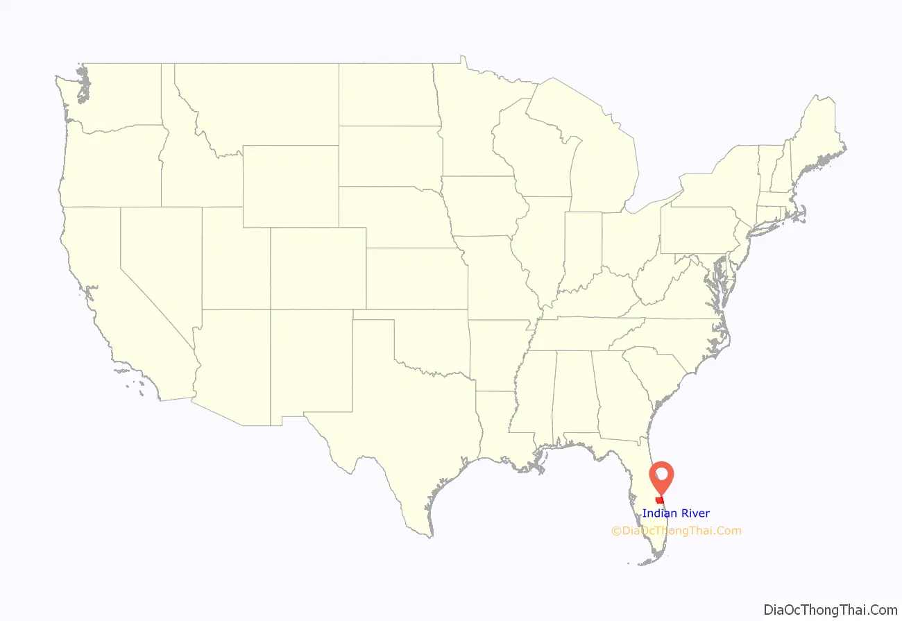
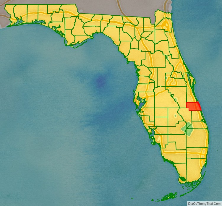
Indian River County location map. Where is Indian River County?
History
Prior to 1821 the area of Indian River County was part of the Spanish colony of East Florida. In 1822 this area became part of St. Johns County, and in 1824 it became part of Mosquito County (original name of Orange County).
The Second Seminole War was fought in 1835 and from 1838 to 1839. Fort Vinton was built for this purpose near the intersection of present-day Florida State Road 60 and 122nd Avenue.
In 1844 the county’s portion of Mosquito County became part of newly created St. Lucia County. In 1855 St. Lucia County was renamed Brevard County. In 1905 St. Lucie County was formed from the southern portion of Brevard County; in 1925 Indian River County was formed from the northern portion of St. Lucie County. It was named for the Indian River, which runs through the eastern portion of the county.
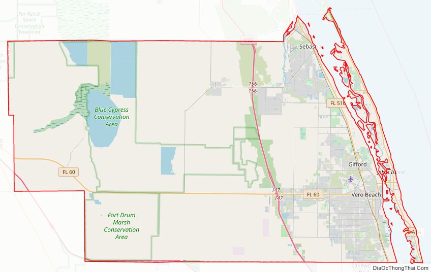
Indian River County Road Map
Geography
According to the U.S. Census Bureau, the county has a total area of 617 square miles (1,600 km), of which 503 square miles (1,300 km) is land and 114 square miles (300 km) (18.5%) is water.
Adjacent counties
- Brevard County – north
- St. Lucie County – south
- Okeechobee County – southwest
- Osceola County – northwest
National protected areas
- Archie Carr National Wildlife Refuge (part)
- Pelican Island National Wildlife Refuge
Climate and birds
Eight bird species in Indian River County are listed as “highly vulnerable” to climate change:
- Red-headed woodpecker
- Gray kingbird
- Fish crow
- Brown thrasher
- Eastern towhee
- Boat-tailed grackle
- Snail kite
- Yellow-throated warbler
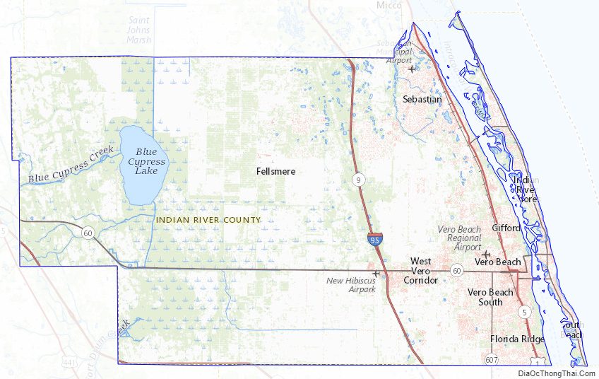
Indian River County Topographic Map
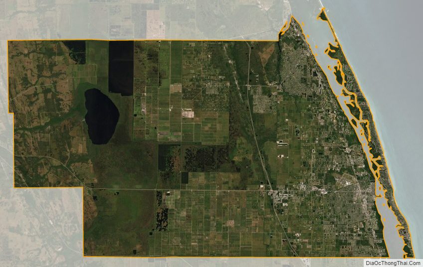
Indian River County Satellite Map
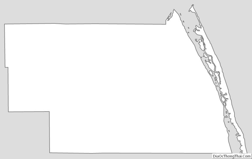
Indian River County Outline Map