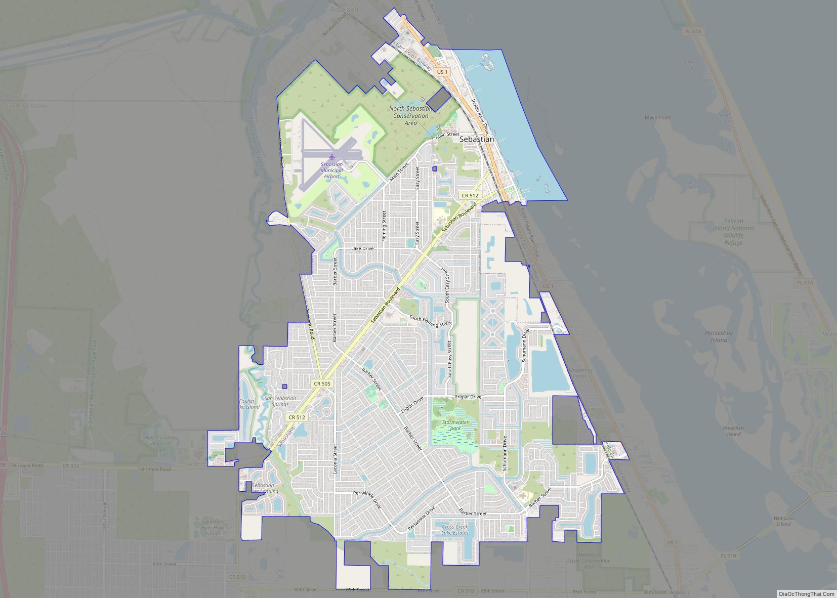
Sebastian is a city in Indian River County, Florida, United States at the confluence of the St. Sebastian River and the Indian River. It is two miles away from the Atlantic Ocean. It is the largest city in Indian River County and the biggest population center between Palm Bay and Fort Pierce. The city’s economy is heavily reliant on tourism. It has numerous resorts in the local area, such as Disney’s Vero Beach Resort. It is very close to many natural and scenic areas like the Pelican Island National Wildlife Refuge, Sebastian Inlet State Park, and St. Sebastian River Preserve State Park.
In 2020, the population recorded by the U.S. Census Bureau was 25,054.
Sebastian is a principal city of the Sebastian−Vero Beach Metropolitan Statistical Area, which includes all of Indian River County.
| Name: | Sebastian city |
|---|---|
| LSAD Code: | 25 |
| LSAD Description: | city (suffix) |
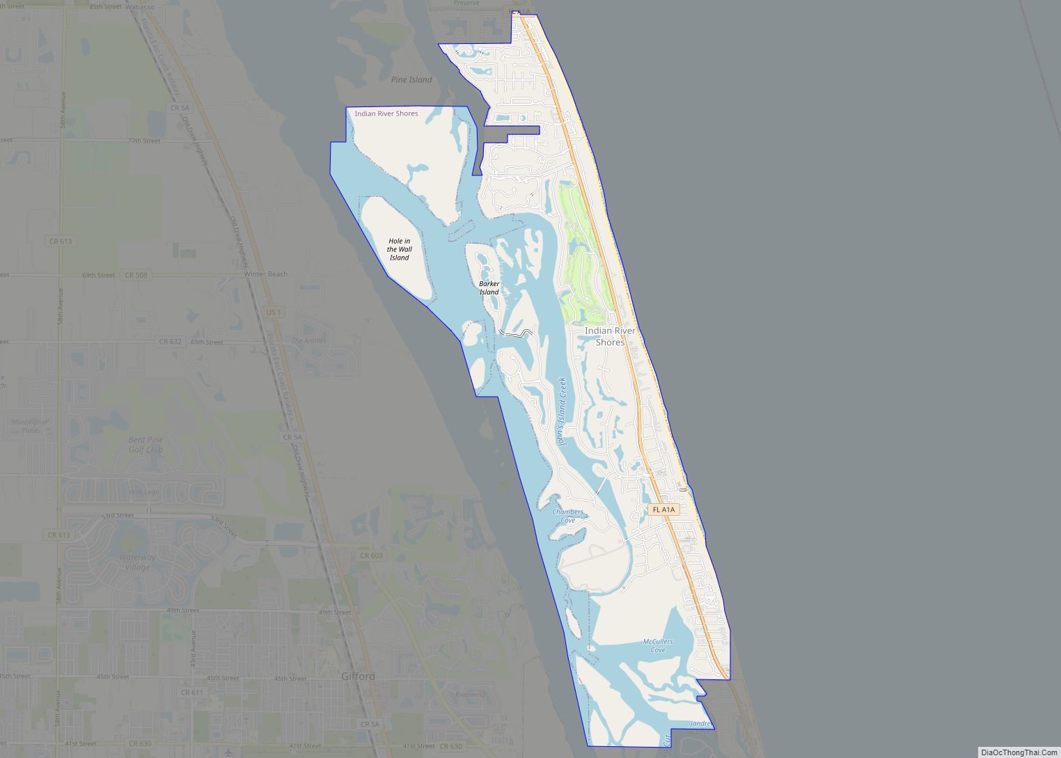
| State: | Florida |
| County: | Indian River County |
| Elevation: | 20 ft (6 m) |
| Total Area: | 14.84 sq mi (38.44 km²) |
| Land Area: | 14.00 sq mi (36.26 km²) |
| Water Area: | 0.84 sq mi (2.18 km²) |
| Total Population: | 25,054 |
| Population Density: | 1,789.70/sq mi (691.02/km²) |
| ZIP code: | 32958, 32978 |
| Area code: | 772 |
| FIPS code: | 1264825 |
| GNISfeature ID: | 0295607 |
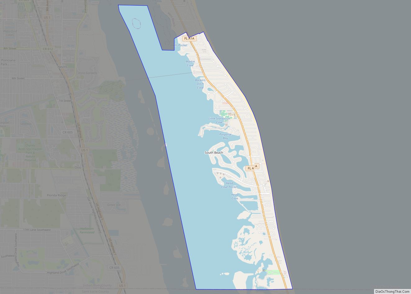
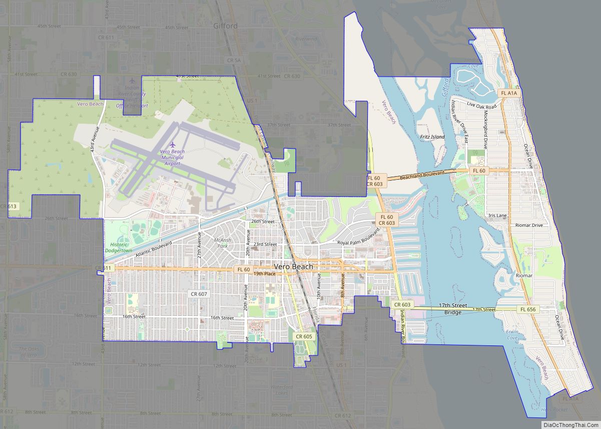
Online Interactive Map
Click on ![]() to view map in "full screen" mode.
to view map in "full screen" mode.
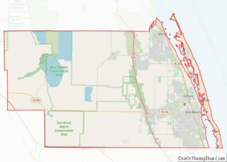
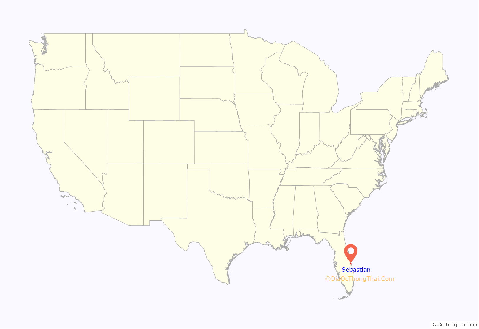
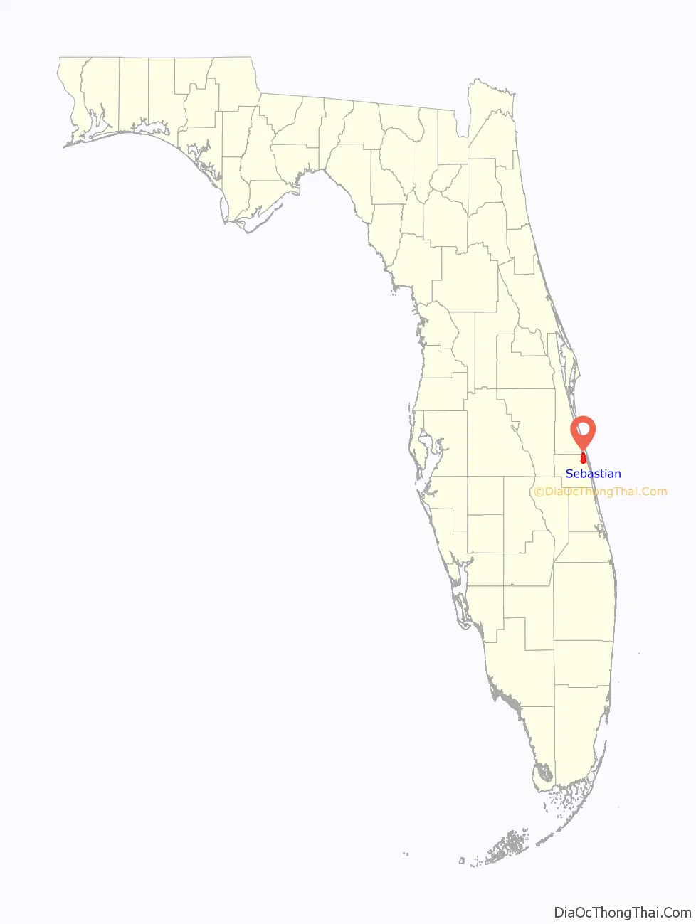
Sebastian location map. Where is Sebastian city?
History
In 1715, several Spanish ships loaded with treasure (known as the 1715 Treasure Fleet) encountered a storm off the shores of the Treasure Coast and were lost. It is estimated that only a portion of the sunken treasure has been found. The value placed on the treasure lost from the 1715 fleet has been estimated at more than US$500 million.
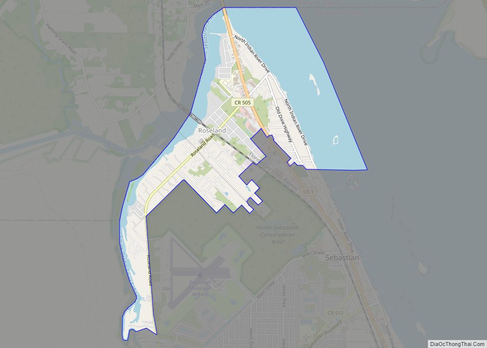
The town of Sebastian was a fishing village as early as the 1870s. In the early 1880s David Peter Gibson and Thomas New settled in the area. New filed to start a post office under the name New Haven. However, New got into legal trouble for misuse of his position as postmaster and was removed. Officially, Sebastian was founded in 1882 and named St. Sebastian, after Saint Sebastian. Later, “St.” was removed from the name of the town, but not from the river. Sebastian was incorporated as a city in 1923.
Nearby Pelican Island was declared the first National Wildlife refuge in the United States in 1903.
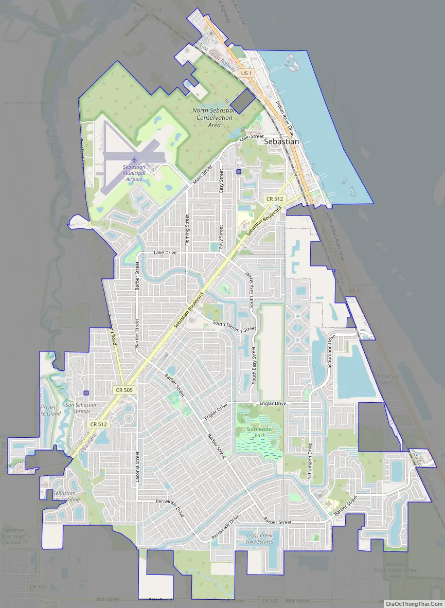
Sebastian Road Map
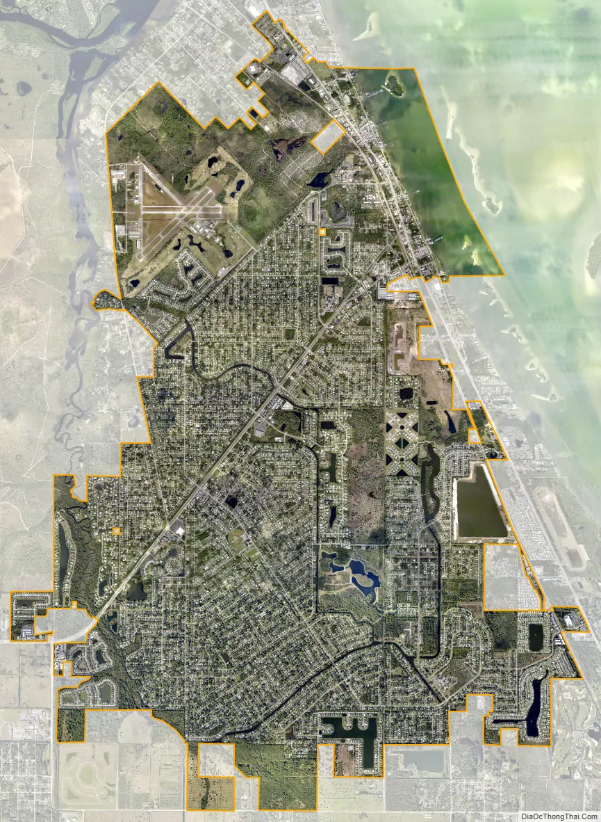
Sebastian city Satellite Map
Geography
According to the United States Census Bureau, the city has a total land area of 13.66 square miles (35.4 km).
Climate
See also
Map of Florida State and its subdivision:- Alachua
- Baker
- Bay
- Bradford
- Brevard
- Broward
- Calhoun
- Charlotte
- Citrus
- Clay
- Collier
- Columbia
- Desoto
- Dixie
- Duval
- Escambia
- Flagler
- Franklin
- Gadsden
- Gilchrist
- Glades
- Gulf
- Hamilton
- Hardee
- Hendry
- Hernando
- Highlands
- Hillsborough
- Holmes
- Indian River
- Jackson
- Jefferson
- Lafayette
- Lake
- Lee
- Leon
- Levy
- Liberty
- Madison
- Manatee
- Marion
- Martin
- Miami-Dade
- Monroe
- Nassau
- Okaloosa
- Okeechobee
- Orange
- Osceola
- Palm Beach
- Pasco
- Pinellas
- Polk
- Putnam
- Saint Johns
- Saint Lucie
- Santa Rosa
- Sarasota
- Seminole
- Sumter
- Suwannee
- Taylor
- Union
- Volusia
- Wakulla
- Walton
- Washington
- Alabama
- Alaska
- Arizona
- Arkansas
- California
- Colorado
- Connecticut
- Delaware
- District of Columbia
- Florida
- Georgia
- Hawaii
- Idaho
- Illinois
- Indiana
- Iowa
- Kansas
- Kentucky
- Louisiana
- Maine
- Maryland
- Massachusetts
- Michigan
- Minnesota
- Mississippi
- Missouri
- Montana
- Nebraska
- Nevada
- New Hampshire
- New Jersey
- New Mexico
- New York
- North Carolina
- North Dakota
- Ohio
- Oklahoma
- Oregon
- Pennsylvania
- Rhode Island
- South Carolina
- South Dakota
- Tennessee
- Texas
- Utah
- Vermont
- Virginia
- Washington
- West Virginia
- Wisconsin
- Wyoming