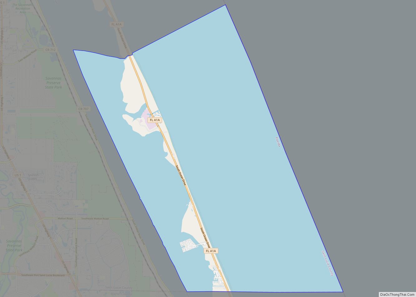
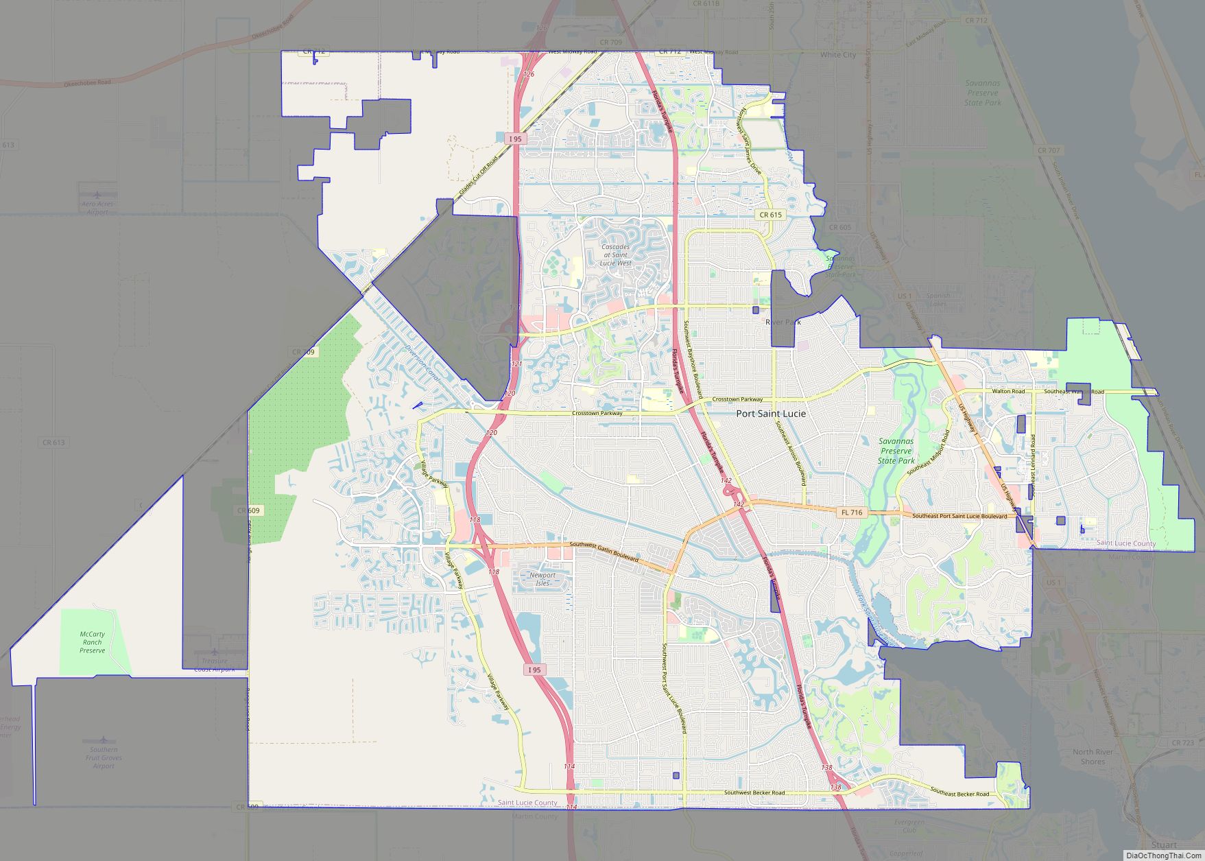
Port St. Lucie is a city in St. Lucie County, Florida, United States. It is the most populous municipality in the county and the seventh-largest city in Florida with a population of 204,851 at the 2020 census. It is located 125 miles (201 km) southeast of Orlando and 113 miles (182 km) north of Miami. It is a principal city in the Port St. Lucie Metropolitan Statistical Area, which includes St. Lucie and Martin counties, and as of 2021 had an estimated population of 502,521. Port St. Lucie is also a principal city in the Miami-Fort Lauderdale-Port St. Lucie Combined Statistical Area, which had an estimated population of 6,841,100 as of 2021.
| Name: | Port St. Lucie city |
|---|---|
| LSAD Code: | 25 |
| LSAD Description: | city (suffix) |
| State: | Florida |
| County: | St. Lucie County |
| Incorporated: | 1961 |
| Elevation: | 16 ft (5 m) |
| Land Area: | 119.22 sq mi (308.77 km²) |
| Water Area: | 1.61 sq mi (4.17 km²) |
| Population Density: | 1,718.32/sq mi (663.45/km²) |
| ZIP code: | 34952-53, 34983-88 |
| Area code: | Area code 772 |
| FIPS code: | 1258715 |
| GNISfeature ID: | 0308089 |
| Website: | www.cityofpsl.com |
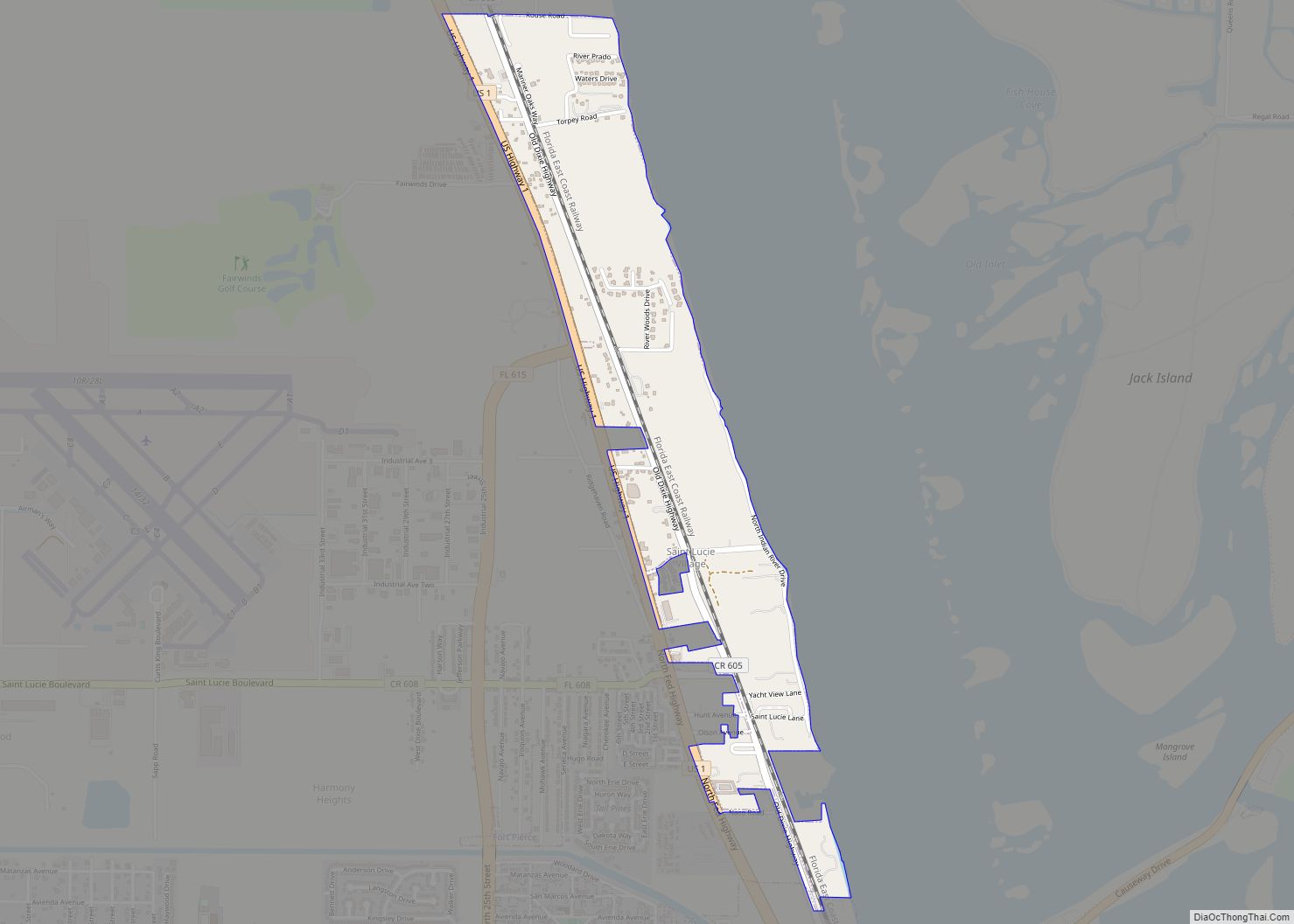
Online Interactive Map
Click on ![]() to view map in "full screen" mode.
to view map in "full screen" mode.
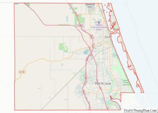
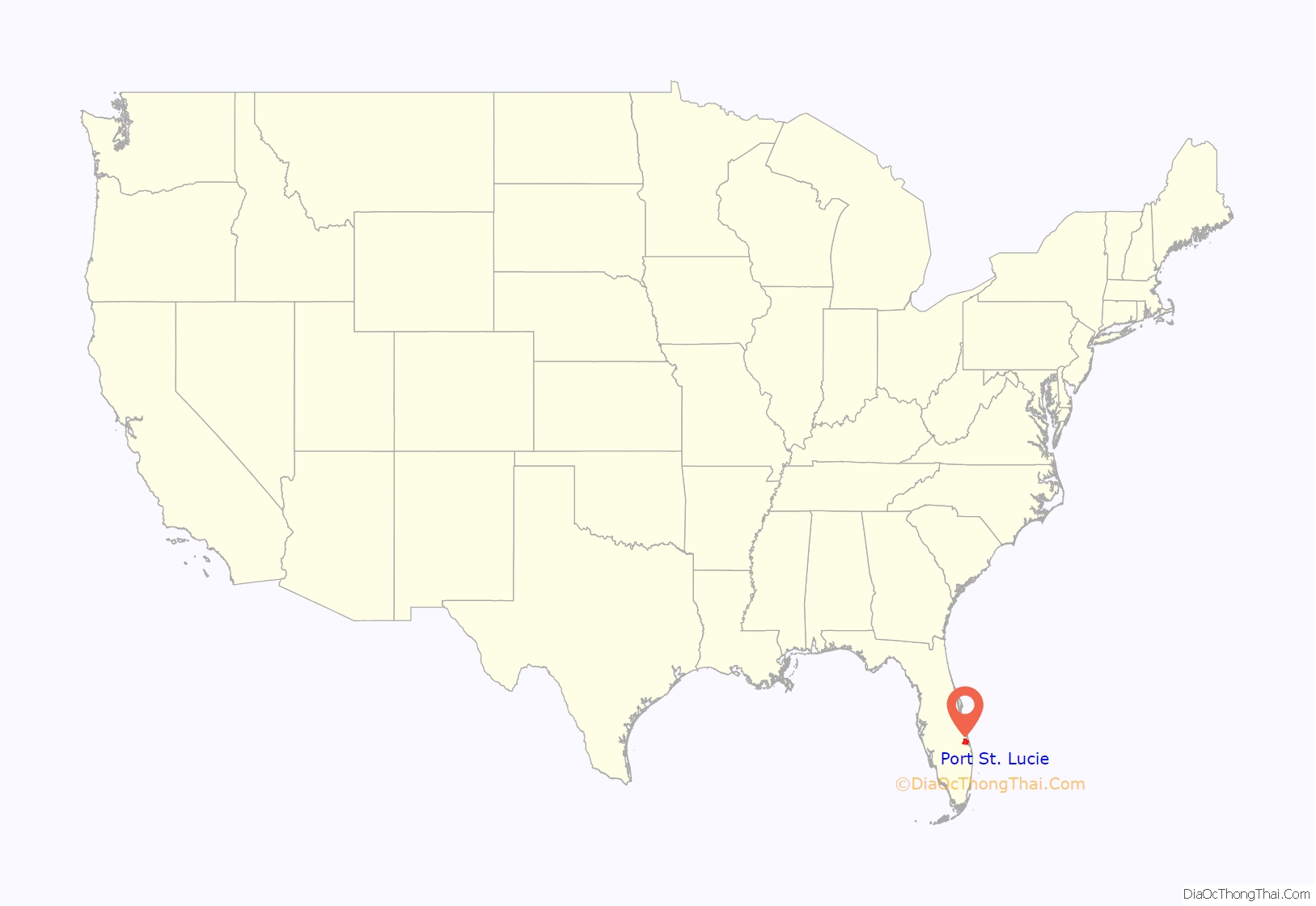
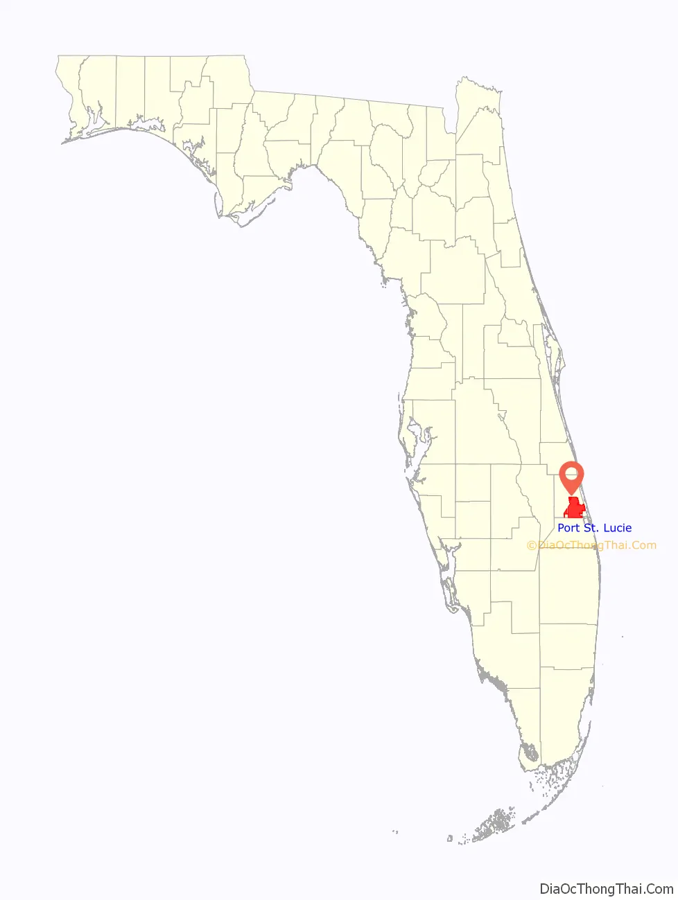
Port St. Lucie location map. Where is Port St. Lucie city?
History
The name “St. Lucie” is originally derived from the name of a settlement near Jupiter Inlet which was founded on St. Lucia’s day in 1566. Due to numerous errors, the name later came to be associated with the present day town of St. Lucie Village, Florida, north of present-day Port St. Lucie. After “La Florida” and “St. Augustine,” it is the oldest place name in the United States. In the early 1890s, an early pioneer settlement named Spruce Bluff was located along the St. Lucie River, which consisted of a community of several families with a school, post office, pineapple plantation, and sawmill. Currently, the land the settlement was located on is part of the Spruce Bluff Preserve. Along with an old cemetery near the old settlement, the preserve also contains a hiking area, canoe access, observation areas, and a prehistoric Ais Indian mound located on the southern end of the preserve.
In the 1950s, the land that would eventually become Port St. Lucie was a largely uninhabited tract of land south of White City, composed of a fishing camp (Burt Pruitt’s Fishin’ Farm) along the St. Lucie River, a few farms and businesses near U.S. 1. In 1958, with a budget of $5, the General Development Corporation (GDC) purchased the River Park development and 40,000 acres (160 km) along the North Fork of the St. Lucie River. In 1959, the GDC opened its first bridge over the St. Lucie River, allowing for direct automobile access to Port St. Lucie.
By February 25, 1961, there were 250 homes in the new city. GDC requested the state legislature to incorporate 70 miles (110 km), along with the River Park settlement, into the City of Port St. Lucie. River Park did not incorporate into the city at the request of its residents. Port St. Lucie became a city on April 27, 1961, with the passage of House Bill No. 953, proposed by State Representative Rupert Smith and approved by Florida Governor C. Farris Bryant.
In the early 1990s, Core Communities (CC), acquired and began planning what would become St. Lucie West. Originally, St. Lucie West was to have contained about 14,000 homes over a 20-year period on 7 square miles (18 km). But after realizing the community’s strategic position, they began developing it into more than just a residential area. CC began building business sectors and places of entertainment and leisure. That resulted in 7,000 jobs being brought to the small town, helping it into its boom during most of the early 2000s.
In 2006, CC started development of its newest community, Tradition. The community, which sits west of the Interstate 95 interchange with Gatlin Blvd., was a large cattle ranch before CC began to develop it. There they built around 13,000,000 square feet (1,200,000 m) of commercial area, and room for over 18,000 residences. According to CC’s website, Tradition is the largest fully entitled residential development area from the tip of Interstate 95 to the Canada–U.S. border. It is modeled after a 1950s-era town. According to its website, Tradition Square, the town center of the community, holds festivities year-round. It was also chosen as the site of HGTV’s Green Home 2009.
In 2007, the housing market began to collapse and unemployment started to rise. As of February 2009, unemployment was at 10½ percent and in 2008, nearly 11,000 homes went into foreclosure. This prompted the county government to consider declaring itself a disaster area. Doing so would have given county administrators access to $17 million in county emergency reserve funds. That money, combined with a transportation fund and other accounts, would give St. Lucie $20 – $30 million to spend on building projects: research parks, highways and other infrastructure improvements.
In 2008, Tradition and Core Communities welcomed the Florida Center of Innovation (later renamed Tradition Center for Innovation), a 150-acre privately owned research park dedicated to drug discovery, immunology and medical devices, and healthcare. TCI initially composed of Torrey Pines Institute for Molecular Studies, Oregon Health and Science University’s Vaccine and Gene Therapy Institute (VGTI), Martin Health System Hospital (Tradition Medical Center), and Mann Research Center. In 2015, VGTI shut down their TCI facility, and Mann Research Center soon followed. As of 2019, only Torrey Pines and Tradition Medical Center remain in TCI.
In 2017, TAMCO, a subsidiary of City Electric Supply, a family-owned electrical wholesale business, created plans with the Port St. Lucie City Council to construct a $38 million, 400,000 square foot manufacturing and distribution center located in the Tradition Commerce Park. Construction of the TAMCO facility began in 2018 and was completed in late 2019.
Port St. Lucie Road Map
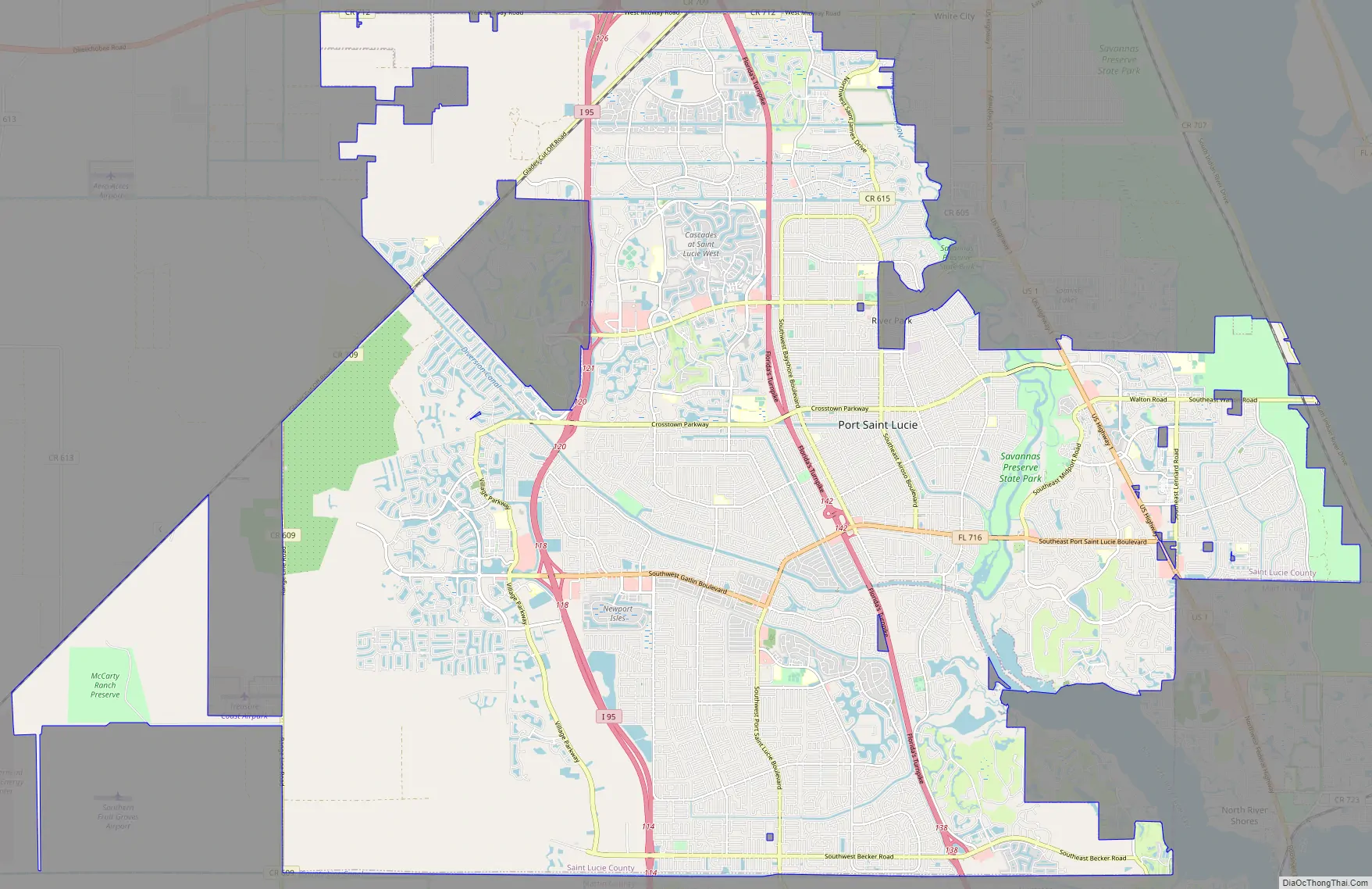
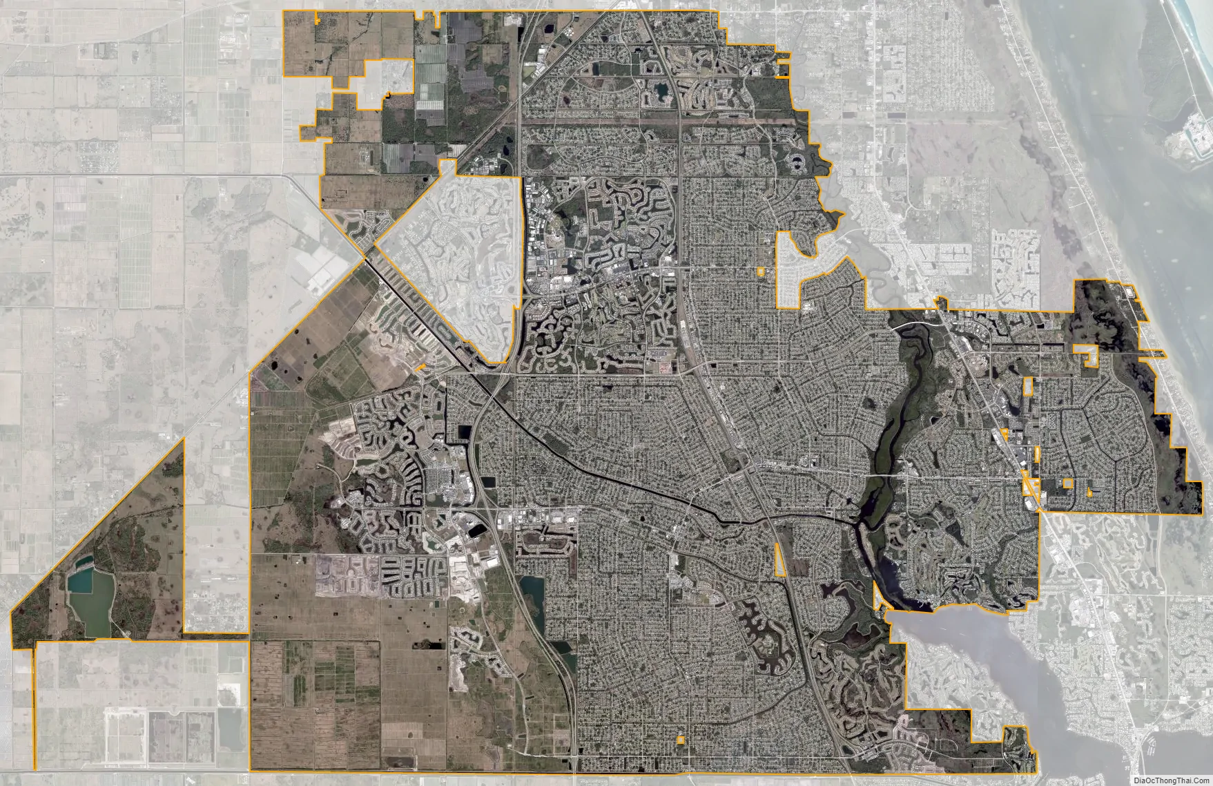
Port St. Lucie city Satellite Map
Geography
According to the United States Census Bureau, the city has a total area of 76.7 sq mi (198.6 km), of which 75.5 sq mi (195.6 km) is land and 1.2 sq mi (3.0 km) (1.50%) is water.
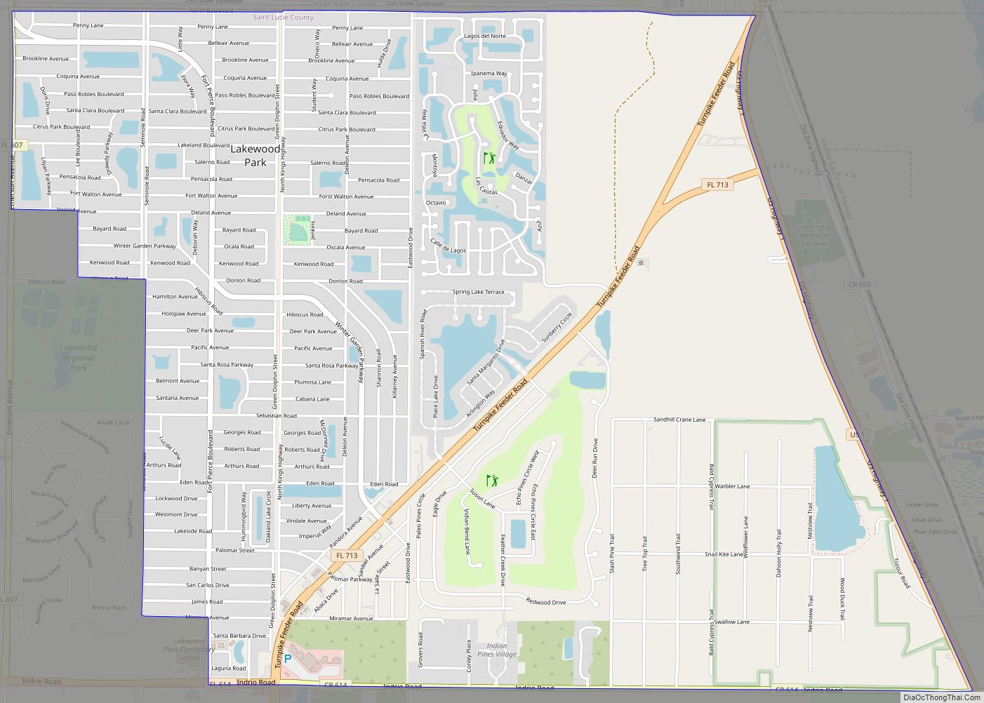
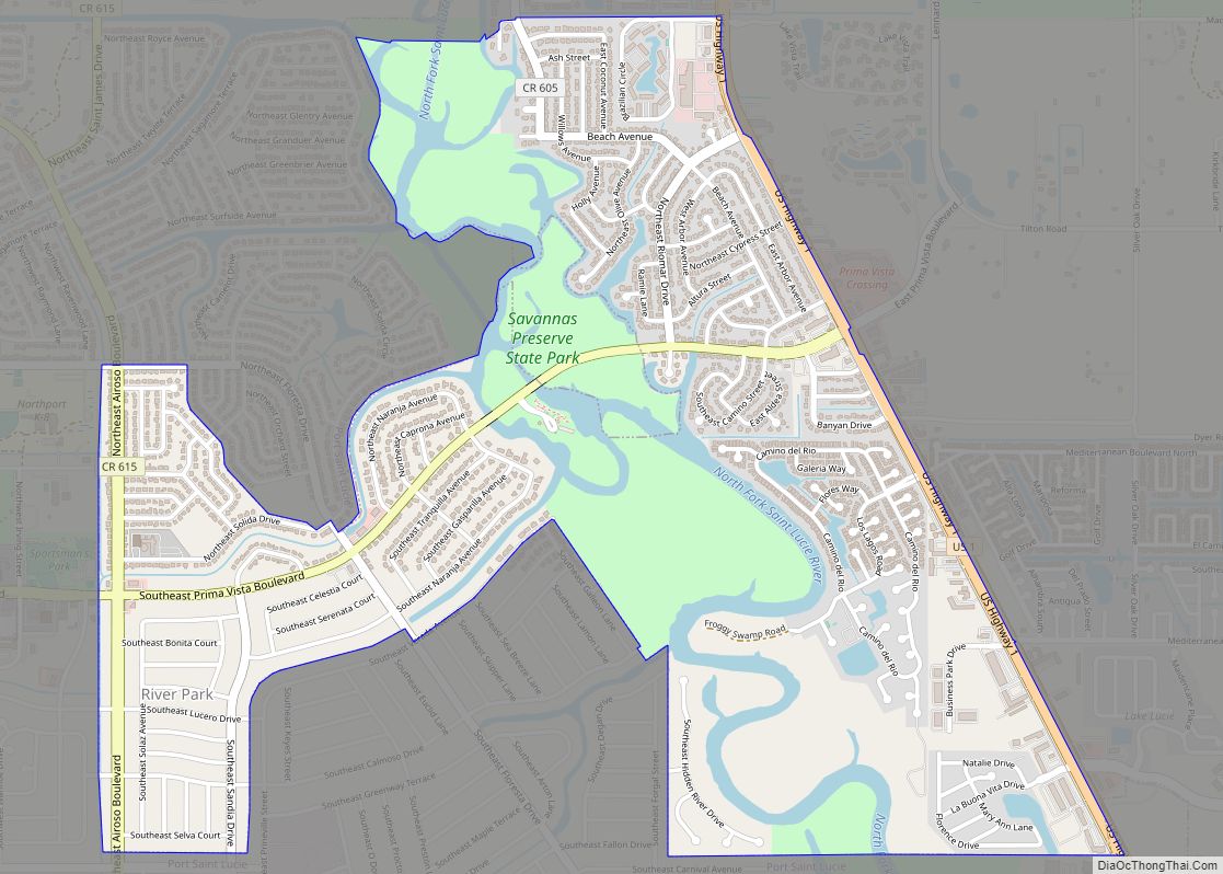
Neighborhoods
Beginning in late 2019, Port St. Lucie began naming different neighborhoods throughout the city. As of 2020, there are 32 neighborhoods in Port St. Lucie:
- Bayshore Business District
- Bayshore Heights
- Becker Ridge
- Canal Pointe
- Cashmere Cove
- Crane Landing
- Fairgreen Crossing
- Floresta Gardens
- Floresta Pointe
- Gatlin Pines
- Hidden Oaks
- Lyngate
- Morningside
- Newport Isles
- Northport Village
- Oak Hammock
- Paar Estates
- Palm Trails
- Riverview
- Rosser Reserve
- Sandhill Crossing
- Sandpiper Bay
- Sawgrass Lakes
- Southbend Lakes
- St. Lucie North
- St. Lucie West
- Swan Park
- Torino
- Tradition
- Tulip Park
- Veranda
- Whispering Pines
- Woodland Trails
Climate
Port St. Lucie is located in the broad transition zone between a humid subtropical climate (Cfa), which dominates Central Florida, and within the northern extent of the tropical climate typical of South Florida. Summers are usually hot, with high temperatures averaging in the low 90s. Winters are usually mild to warm, with average high temperatures in the 70s. The average yearly precipitation is around 53.5 in.
In 2004 and 2005, Port St. Lucie was hit directly by three hurricanes: Frances (Category 2), Jeanne (Category 3), and Wilma (Category 3).
See also
Map of Florida State and its subdivision:- Alachua
- Baker
- Bay
- Bradford
- Brevard
- Broward
- Calhoun
- Charlotte
- Citrus
- Clay
- Collier
- Columbia
- Desoto
- Dixie
- Duval
- Escambia
- Flagler
- Franklin
- Gadsden
- Gilchrist
- Glades
- Gulf
- Hamilton
- Hardee
- Hendry
- Hernando
- Highlands
- Hillsborough
- Holmes
- Indian River
- Jackson
- Jefferson
- Lafayette
- Lake
- Lee
- Leon
- Levy
- Liberty
- Madison
- Manatee
- Marion
- Martin
- Miami-Dade
- Monroe
- Nassau
- Okaloosa
- Okeechobee
- Orange
- Osceola
- Palm Beach
- Pasco
- Pinellas
- Polk
- Putnam
- Saint Johns
- Saint Lucie
- Santa Rosa
- Sarasota
- Seminole
- Sumter
- Suwannee
- Taylor
- Union
- Volusia
- Wakulla
- Walton
- Washington
- Alabama
- Alaska
- Arizona
- Arkansas
- California
- Colorado
- Connecticut
- Delaware
- District of Columbia
- Florida
- Georgia
- Hawaii
- Idaho
- Illinois
- Indiana
- Iowa
- Kansas
- Kentucky
- Louisiana
- Maine
- Maryland
- Massachusetts
- Michigan
- Minnesota
- Mississippi
- Missouri
- Montana
- Nebraska
- Nevada
- New Hampshire
- New Jersey
- New Mexico
- New York
- North Carolina
- North Dakota
- Ohio
- Oklahoma
- Oregon
- Pennsylvania
- Rhode Island
- South Carolina
- South Dakota
- Tennessee
- Texas
- Utah
- Vermont
- Virginia
- Washington
- West Virginia
- Wisconsin
- Wyoming