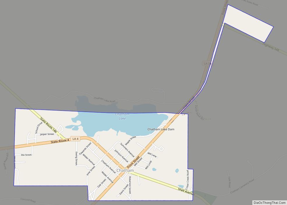
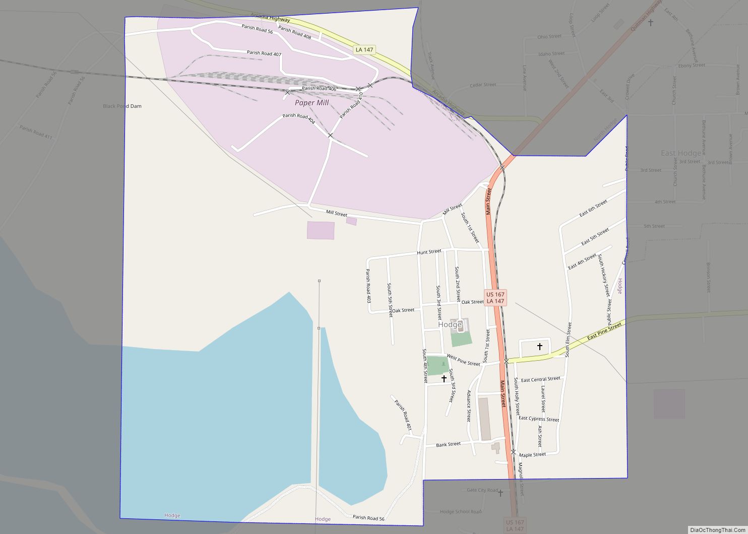
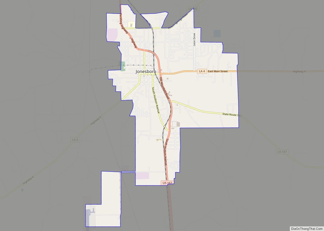
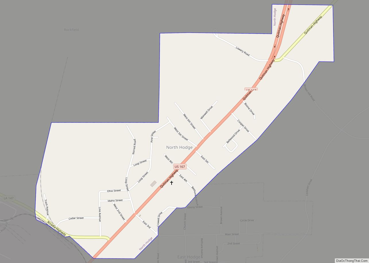
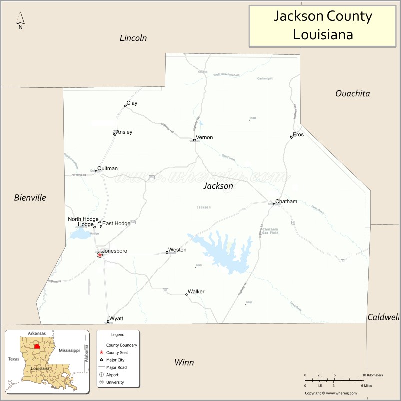
Jackson Parish (French: Paroisse de Jackson) is a parish in the northern part of the U.S. state of Louisiana. As of the 2020 census, the population was 15,031. The parish seat is Jonesboro. The parish was formed in 1845 from parts of Claiborne, Ouachita, and Union Parishes. In the twentieth century, this part of the state had several small industrial mill towns, such as Jonesboro.
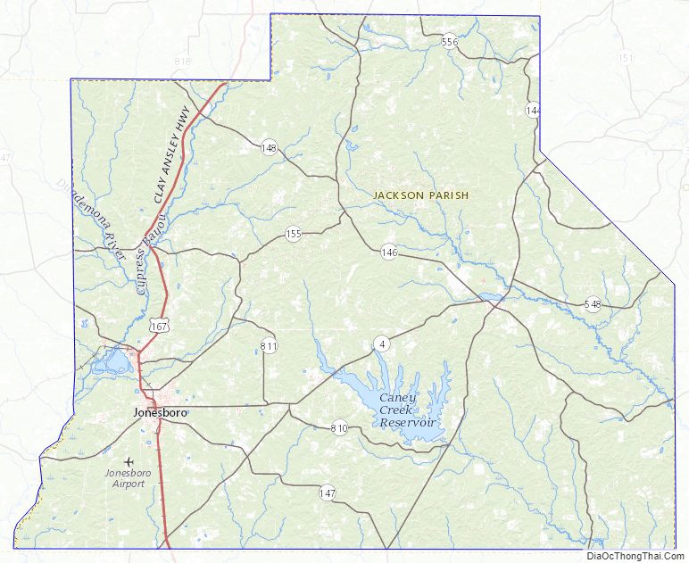
East of Jonesboro is the Jimmie Davis State Park, which includes Caney Lake Reservoir.
| Name: | Jackson Parish |
|---|---|
| FIPS code: | 22-049 |
| State: | Louisiana |
| Founded: | 1845 |
| Named for: | Andrew Jackson |
| Seat: | Jonesboro |
| Largest town: | Jonesboro |
| Total Area: | 580 sq mi (1,500 km²) |
| Land Area: | 569 sq mi (1,470 km²) |
| Total Population: | 15,031 |
| Population Density: | 26/sq mi (10/km²) |
| Time zone: | UTC−6 (Central) |
| Summer Time Zone (DST): | UTC−5 (CDT) |
| Website: | www.jacksonparishpolicejury.org/Default.aspx |
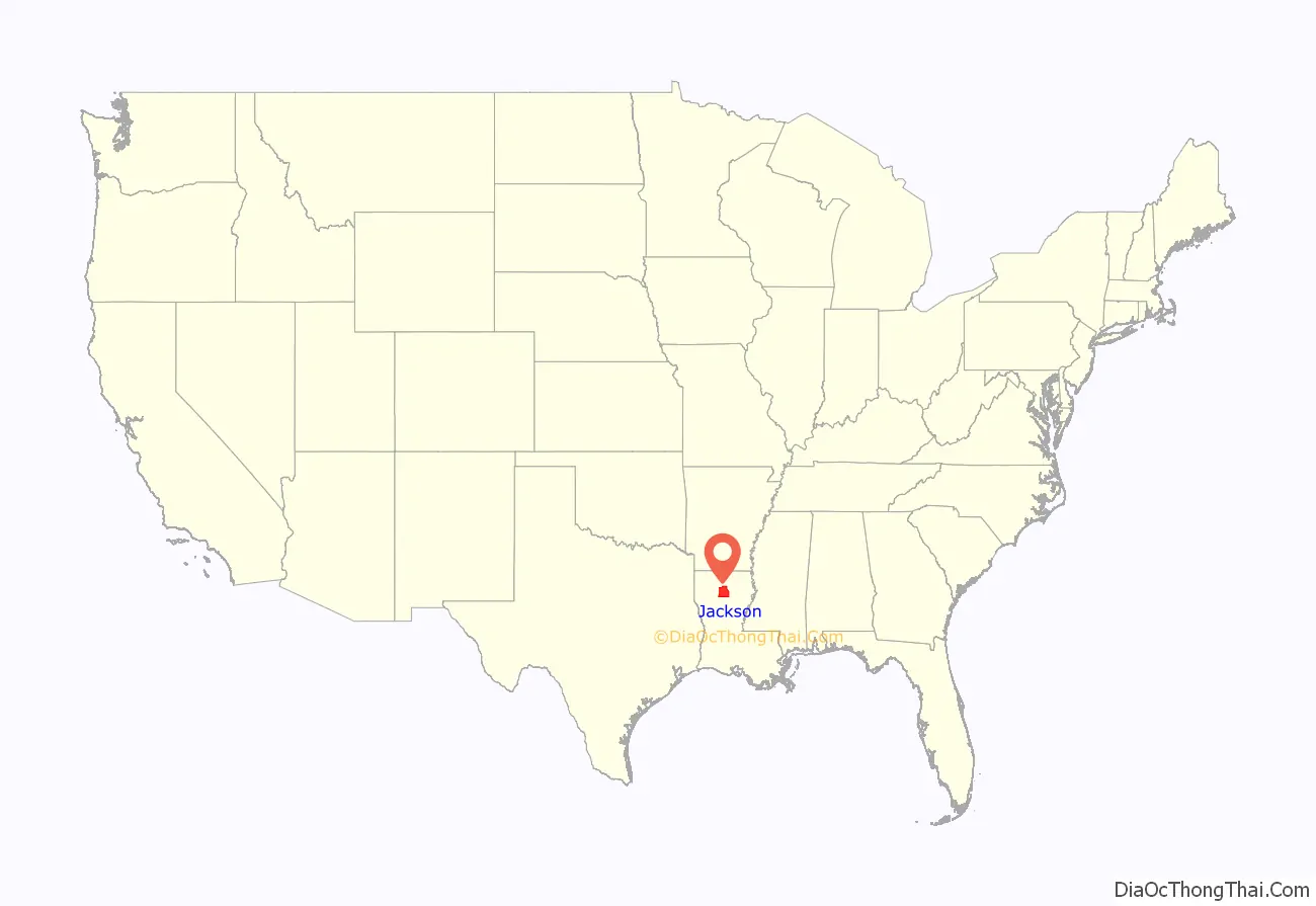
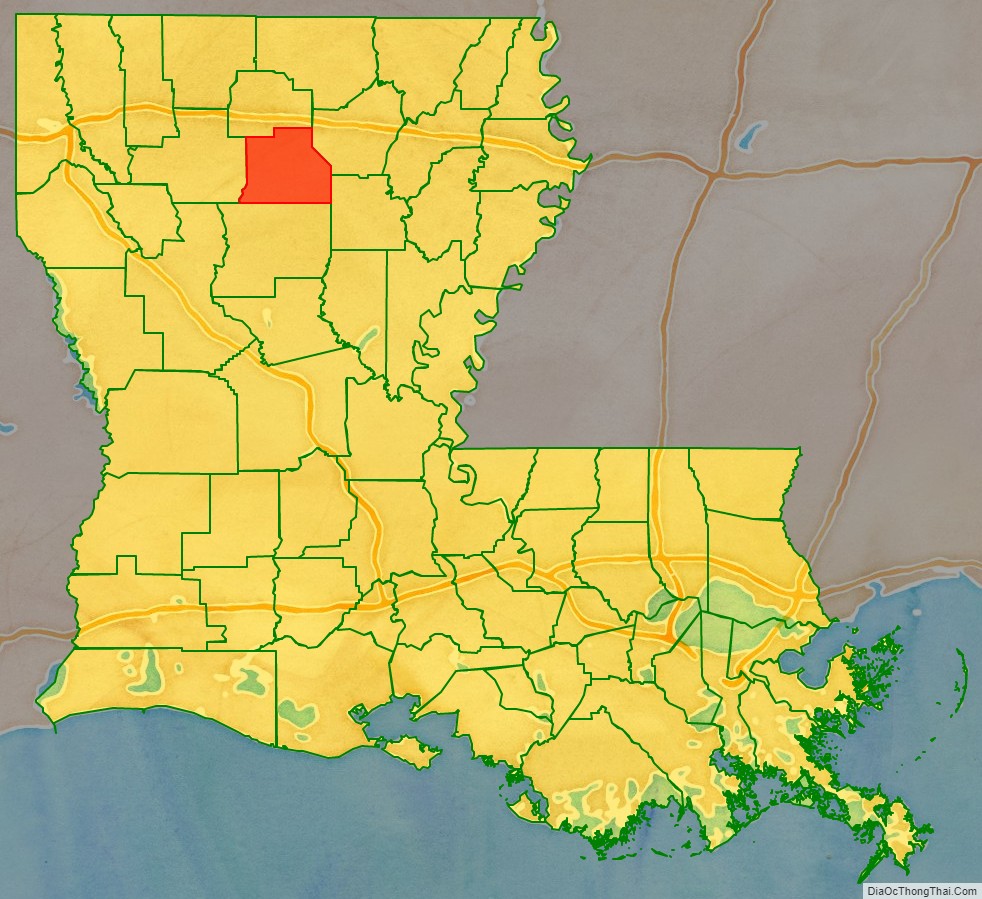
Jackson Parish location map. Where is Jackson Parish?
History
Jackson Parish was founded in 1845 after Indian Removal and named for President Andrew Jackson.
Civil War
During the American Civil War Confederate General Richard Taylor sent five companies into Jackson and Winn parishes to arrest conscripts who failed to report for duty, and to halt jayhawker groups in the area.
20th century to present
Jonesboro became an industrial mill town in the 20th century, producing lumber and turpentine products from the pine forests. Industrialization stimulated its growth. By the 1950s and 1960s, numerous African Americans had become industrial workers. Many were veterans of World War II and the Korean War, and they began to press to gain civil rights in the segregated state and region. Ku Klux Klan chapters were active here, and they intimidated and attacked civil rights activists.
In November 1964 Rev. Frederick Douglass Kirkpatrick, ordained that year as a minister of the Church of God in Christ, and Earnest “Chilly Willy” Thomas founded the Deacons for Defense and Justice, an organized African-American, armed self-defense group to protect activists and their families.
In February 1965, these two men and other CORE workers traveled 300 miles to Bogalusa, Louisiana, another small mill town, where they founded another chapter of the Deacons. They advised local activists on strategies of self-defense. They helped found chapters of the Deacons in other cities of Louisiana, as well as in Mississippi and Alabama in these years.
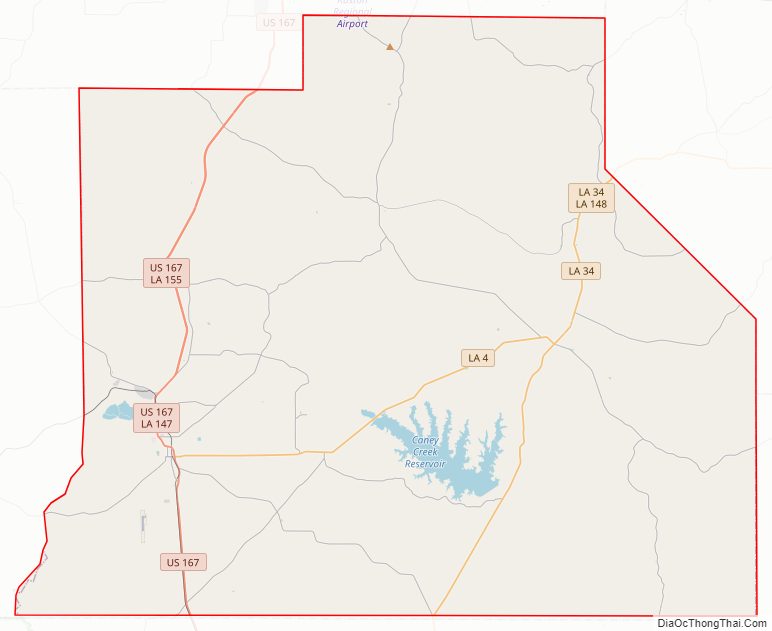
Jackson Parish Road Map
Geography
According to the U.S. Census Bureau, the parish has a total area of 580 square miles (1,500 km), of which 569 square miles (1,470 km) is land and 11 square miles (28 km) (1.9%) is water.
Major highways
- U.S. Highway 167
- Louisiana Highway 4
- Louisiana Highway 34
Adjacent parishes
- Lincoln Parish (north)
- Ouachita Parish (northeast)
- Caldwell Parish (southeast)
- Winn Parish (south)
- Bienville Parish (west)
Jackson Parish Topographic Map
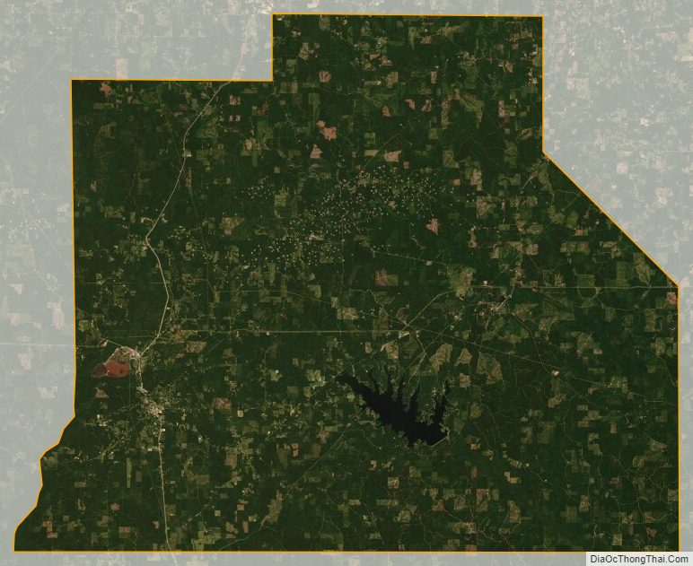
Jackson Parish Satellite Map
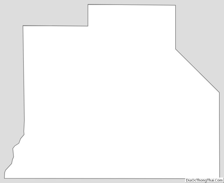
Jackson Parish Outline Map