Jonesboro is a town in, and the parish seat of, Jackson Parish in the northern portion of the U.S. state of Louisiana. The population was 4,106 in 2020.
| Name: | Jonesboro town |
|---|---|
| LSAD Code: | 43 |
| LSAD Description: | town (suffix) |
| State: | Louisiana |
| County: | Jackson Parish |
| Total Area: | 4.90 sq mi (12.70 km²) |
| Land Area: | 4.85 sq mi (12.55 km²) |
| Water Area: | 0.06 sq mi (0.15 km²) |
| Total Population: | 4,106 |
| Population Density: | 847.12/sq mi (327.09/km²) |
| ZIP code: | 71251 |
| Area code: | 318 |
| FIPS code: | 2238670 |
| Website: | www.jonesborola.net |
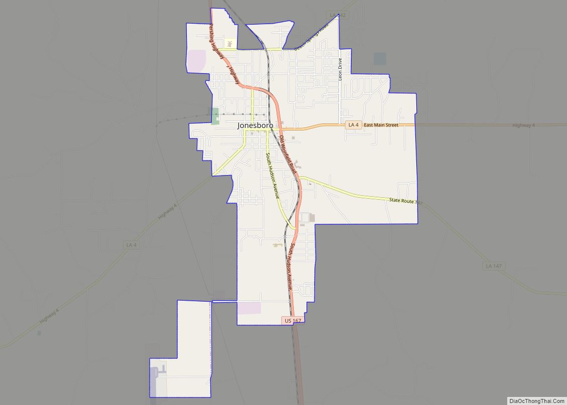
Online Interactive Map
Click on ![]() to view map in "full screen" mode.
to view map in "full screen" mode.
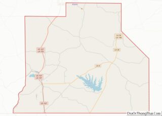
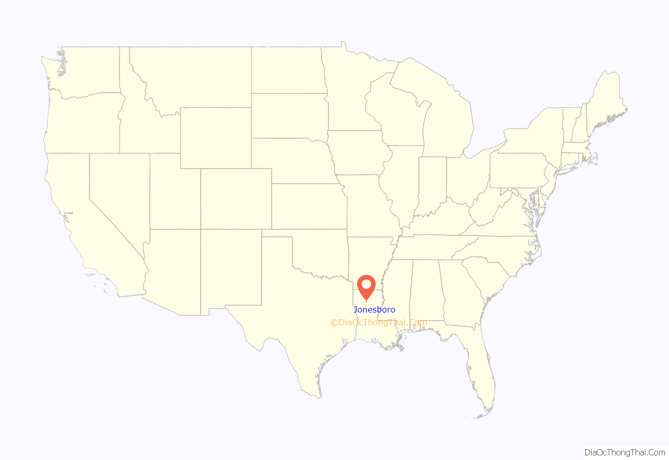
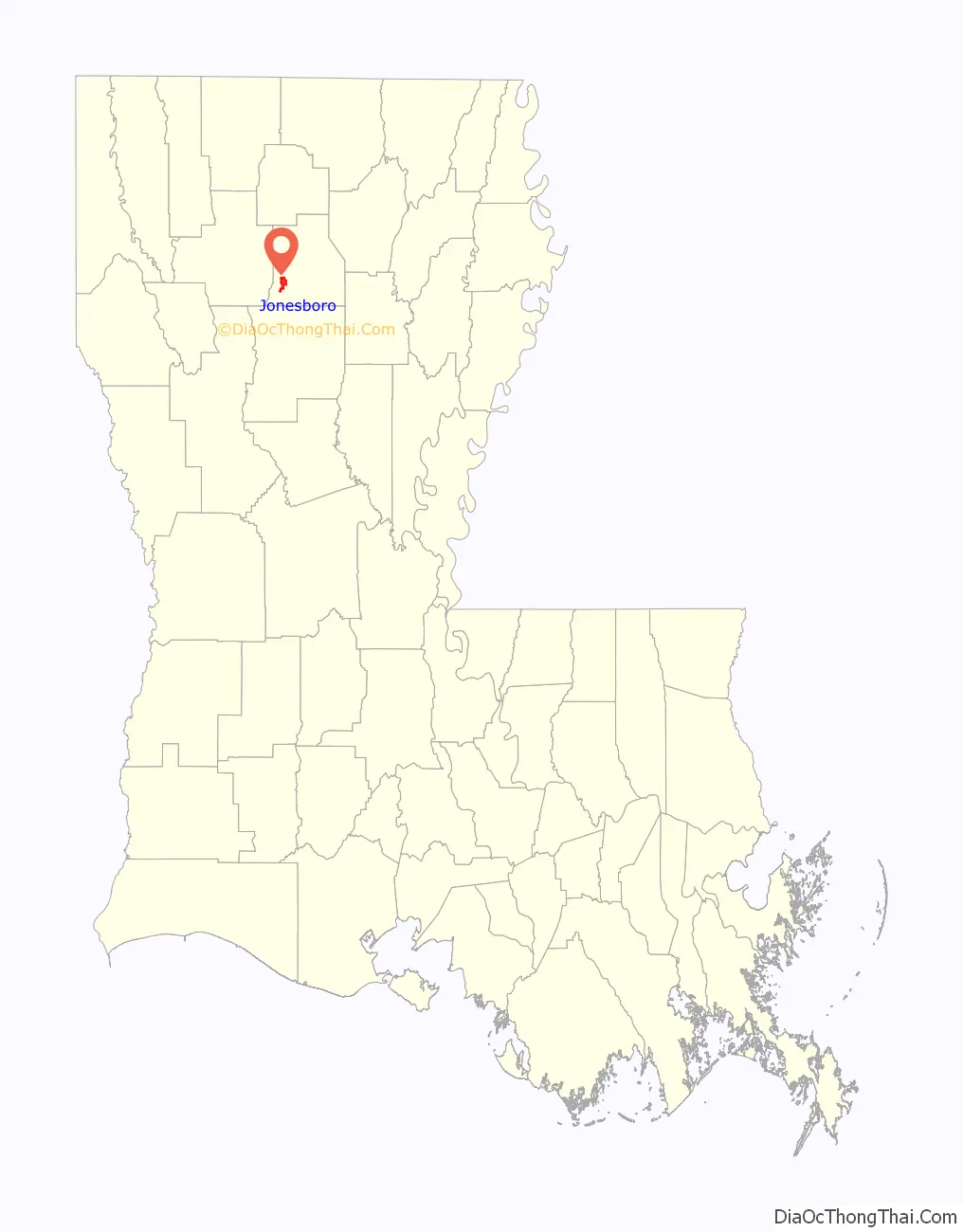
Jonesboro location map. Where is Jonesboro town?
History
Founded on January 10, 1860, by Joseph Jones and his wife, Sarah Pankey Jones, as a small family farm, Jonesboro is now a small industrial mill town. Originally founded as “Macedonia,” the small town’s name changed to Jonesboro on January 16, 1901, after the United States Post Office Department approved the change and became the seat of government for Jackson Parish on March 15, 1911, following a parish-wide referendum. Jonesboro remains the parish’s agricultural, industrial, economic, and governmental center.
A destructive F3 tornado struck the town and nearby Hodge on September 12, 1961. Spawned by Hurricane Carla, the tornado damaged or destroyed many structures and killed five people.
During the Civil Rights Movement of the 1960s, whites violently resisted African-American efforts to gain their constitutional rights as citizens, even after the passage of the Civil Rights Act of 1964. The Ku Klux Klan, which was active in the area, conducted what was called a “reign of terror” in 1964, including harassment of activists, “the burning of crosses on the lawns of African-American voters,” murder, and destroying five black churches by fire, as well as their Masonic hall, and a Baptist center.
In November 1964, Earnest “Chilly Willy” Thomas and Frederick Douglass Kirkpatrick (the latter ordained that year as a minister of the Church of God in Christ), founded the Deacons for Defense and Justice in Jonesboro. It was an armed self-defense group, largely made up of men who were World War II and the Korean War veterans. At night, they conducted regular patrols of the city’s black community which occupied an area known as “the Quarters”. They protected civil rights activists and their families during and outside demonstrations. At the request of activists in Bogalusa, Louisiana, another mill town where blacks were under pressure by violent whites, Thomas and Kirkpatrick helped found an affiliated chapter in that city. Ultimately there were 21 chapters in Louisiana, Mississippi, and Alabama, operating through 1968. In Jonesboro, the Deacons achieved some changes, such as integrating parks and a swimming pool. Activists achieved more after congressional passage of the Voting Rights Act of 1965 and their entry into politics.
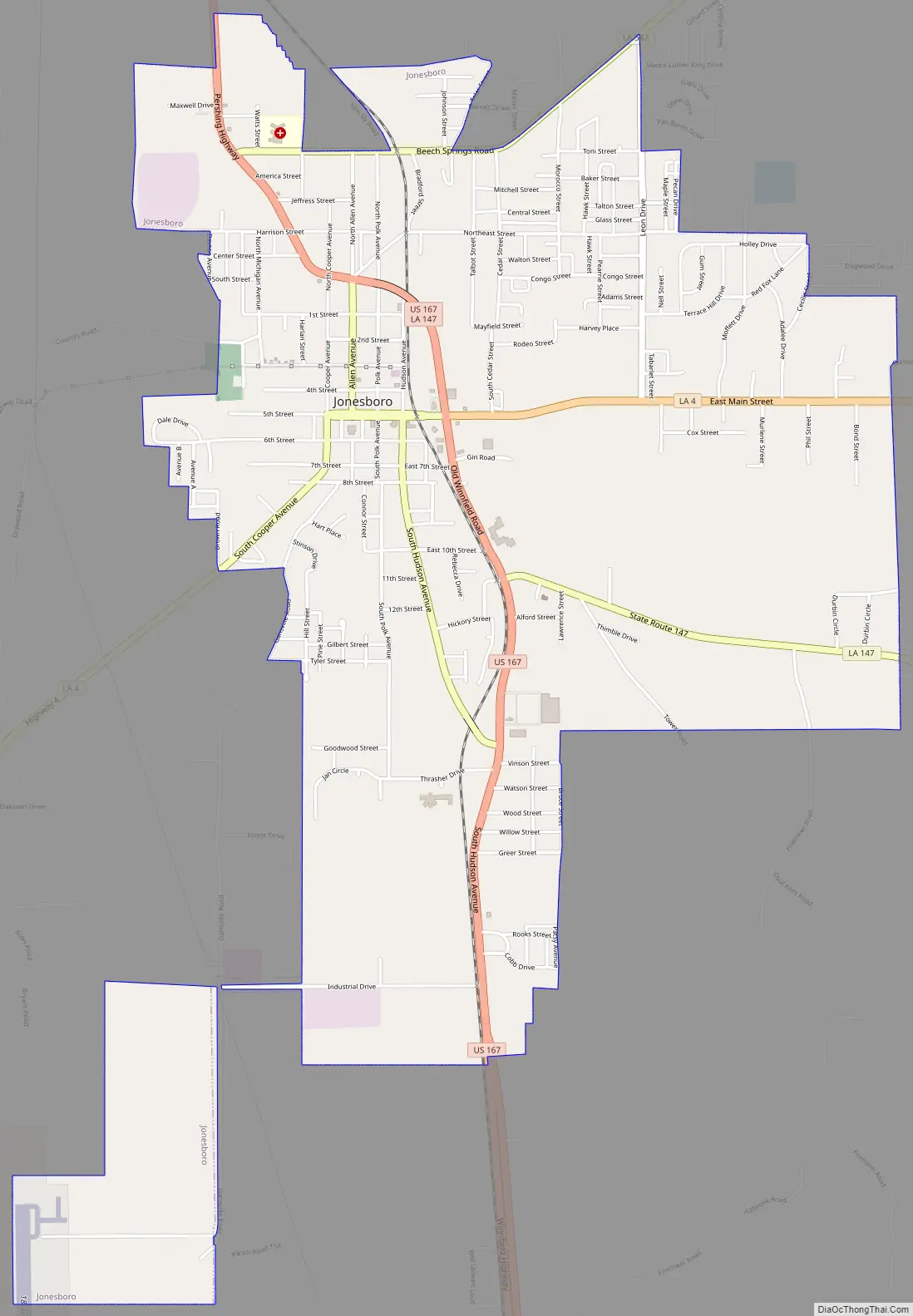
Jonesboro Road Map
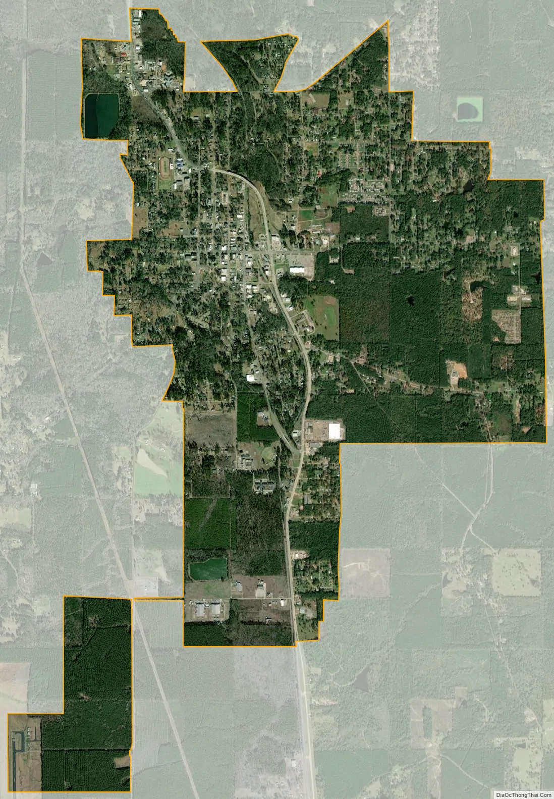
Jonesboro city Satellite Map
Geography
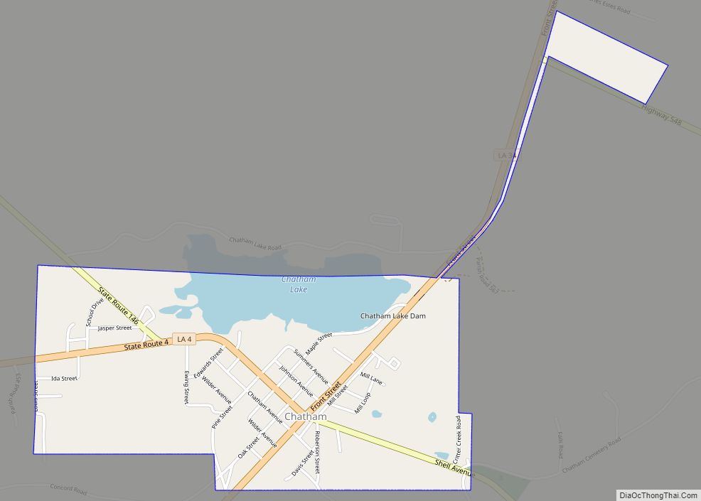
Jonesboro is in southwestern Jackson Parish. U.S. Route 167 passes through the town’s northern and eastern sides, leading north 22 miles (35 km) to Ruston and south 23 miles (37 km) to Winnfield. Louisiana Highway 4 passes through the center of Jonesboro, leading east 17 miles (27 km) to Chatham and west 19 miles (31 km) to Lucky.
According to the United States Census Bureau, Jonesboro has an area of 4.9 square miles (12.7 km), of which 4.8 square miles (12.5 km) are land and 0.04 square miles (0.1 km), or 1.17%, are water. Jonesboro water bodies drain north to the Little Dugdemona River, which turns southwest and forms the south-flowing Dugdemona River.
Climate
The climate in this area is characterized by hot, humid summers and generally mild to cool winters. According to the Köppen Climate Classification system, Jonesboro has a humid subtropical climate, abbreviated “Cfa” on climate maps.
See also
Map of Louisiana State and its subdivision:- Acadia
- Allen
- Ascension
- Assumption
- Avoyelles
- Beauregard
- Bienville
- Bossier
- Caddo
- Calcasieu
- Caldwell
- Cameron
- Catahoula
- Claiborne
- Concordia
- De Soto
- East Baton Rouge
- East Carroll
- East Feliciana
- Evangeline
- Franklin
- Grant
- Iberia
- Iberville
- Jackson
- Jefferson
- Jefferson Davis
- La Salle
- Lafayette
- Lafourche
- Lincoln
- Livingston
- Madison
- Morehouse
- Natchitoches
- Orleans
- Ouachita
- Plaquemines
- Pointe Coupee
- Rapides
- Red River
- Richland
- Sabine
- Saint Bernard
- Saint Charles
- Saint Helena
- Saint James
- Saint John the Baptist
- Saint Landry
- Saint Martin
- Saint Mary
- Saint Tammany
- Tangipahoa
- Tensas
- Terrebonne
- Union
- Vermilion
- Vernon
- Washington
- Webster
- West Baton Rouge
- West Carroll
- West Feliciana
- Winn
- Alabama
- Alaska
- Arizona
- Arkansas
- California
- Colorado
- Connecticut
- Delaware
- District of Columbia
- Florida
- Georgia
- Hawaii
- Idaho
- Illinois
- Indiana
- Iowa
- Kansas
- Kentucky
- Louisiana
- Maine
- Maryland
- Massachusetts
- Michigan
- Minnesota
- Mississippi
- Missouri
- Montana
- Nebraska
- Nevada
- New Hampshire
- New Jersey
- New Mexico
- New York
- North Carolina
- North Dakota
- Ohio
- Oklahoma
- Oregon
- Pennsylvania
- Rhode Island
- South Carolina
- South Dakota
- Tennessee
- Texas
- Utah
- Vermont
- Virginia
- Washington
- West Virginia
- Wisconsin
- Wyoming