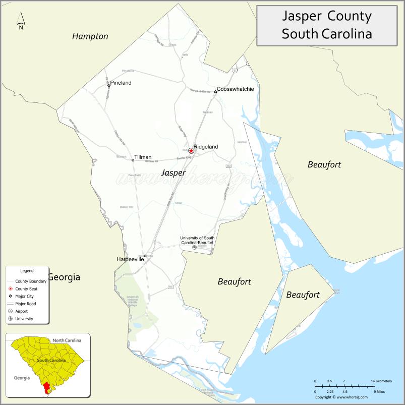
Jasper County is the southernmost county in the U.S. state of South Carolina. As of the 2020 census, the population was 28,791. Its county seat is Ridgeland and its largest city is Hardeeville. The county was formed in 1912 from portions of Hampton County and Beaufort County.
Jasper County is included in the Hilton Head Island–Bluffton, SC Metropolitan Statistical Area. It is located in the Lowcountry region of the state. For several decades, in contrast to neighboring Beaufort County, Jasper was one of the poorest counties in the state. Recent development from 2000 onwards has given the county new residents, expanded business opportunities, and a wealthier tax base.
| Name: | Jasper County |
|---|---|
| FIPS code: | 45-053 |
| State: | South Carolina |
| Founded: | 1912 |
| Named for: | William Jasper |
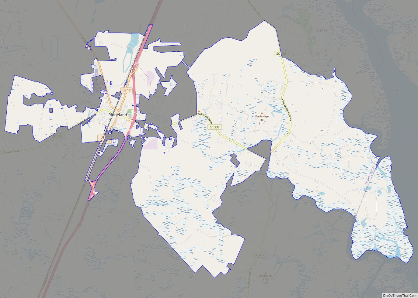
| Seat: | Ridgeland |
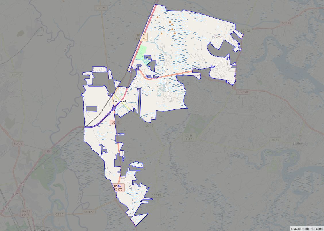
| Largest city: | Hardeeville |
| Total Area: | 699 sq mi (1,810 km²) |
| Land Area: | 655 sq mi (1,700 km²) |
| Total Population: | 30,324 |
| Population Density: | 46.3/sq mi (17.9/km²) |
| Time zone: | UTC−5 (Eastern) |
| Summer Time Zone (DST): | UTC−4 (EDT) |
| Website: | www.jaspercountysc.gov |
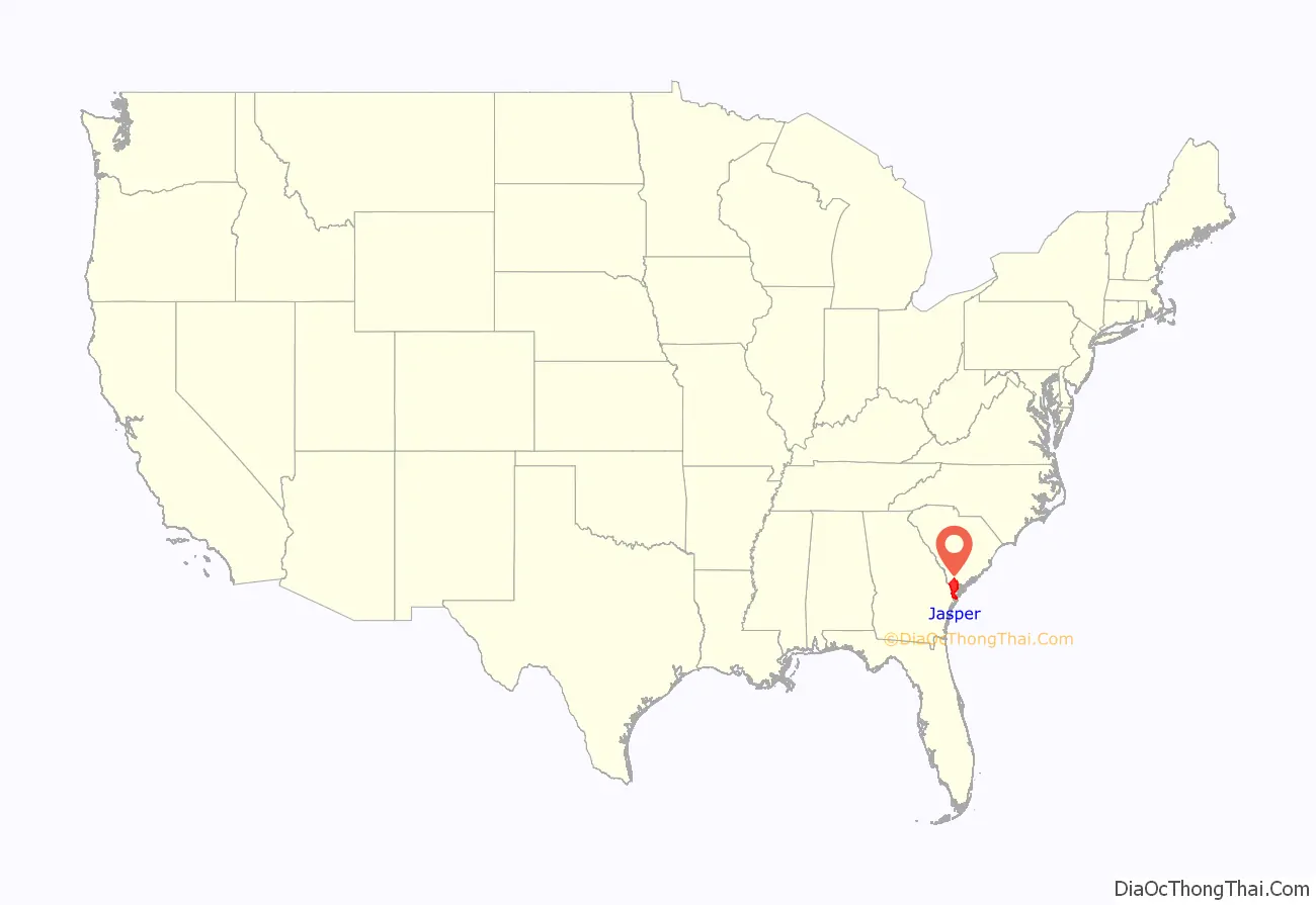
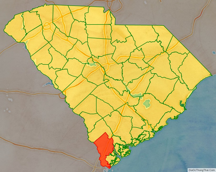
Jasper County location map. Where is Jasper County?
History
The county was founded in 1912 and was named after William Jasper. The county seat is Ridgeland while the largest city is Hardeeville, the county is also in the Hilton Head Island-Bluffton-Beaufort Metropolitan Area.
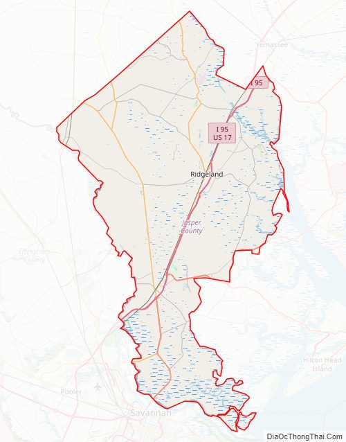
Jasper County Road Map
Geography
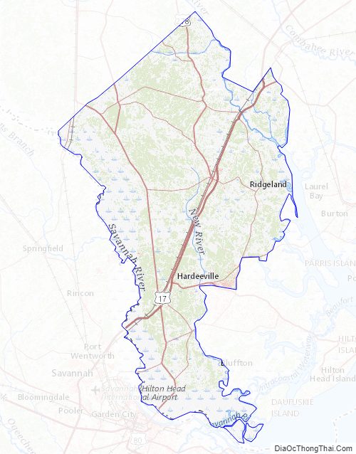
According to the U.S. Census Bureau, the county has a total area of 699 square miles (1,810 km), of which 655 square miles (1,700 km) is land and 44 square miles (110 km) (6.3%) is water.
National protected areas
- Savannah National Wildlife Refuge (part)
- Tybee National Wildlife Refuge
State and local protected areas/sites
- Frampton Plantation House
- Kingfisher Pond Recreation Area
- Old House Plantation
Major water bodies
- Atlantic Ocean
- Intracoastal Waterway
- Okatee River
- Savannah River
- Tulifiny River
Adjacent counties
- Hampton County – north
- Beaufort County – east
- Chatham County, Georgia – south
- Effingham County, Georgia – west
Major highways
- I-95
- US 17
- US 278
- US 278 Conn.
- US 321
- US 601
- SC 3
- SC 46
- SC 170
- SC 315
- SC 336
- SC 336 Conn.
- SC 462
- SC 652
Jasper County Topographic Map
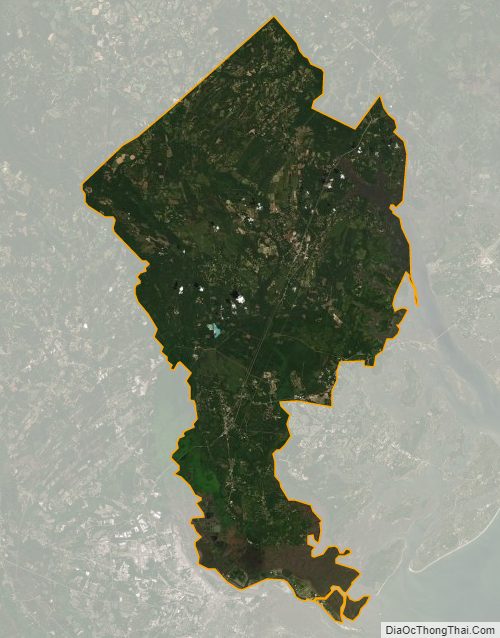
Jasper County Satellite Map
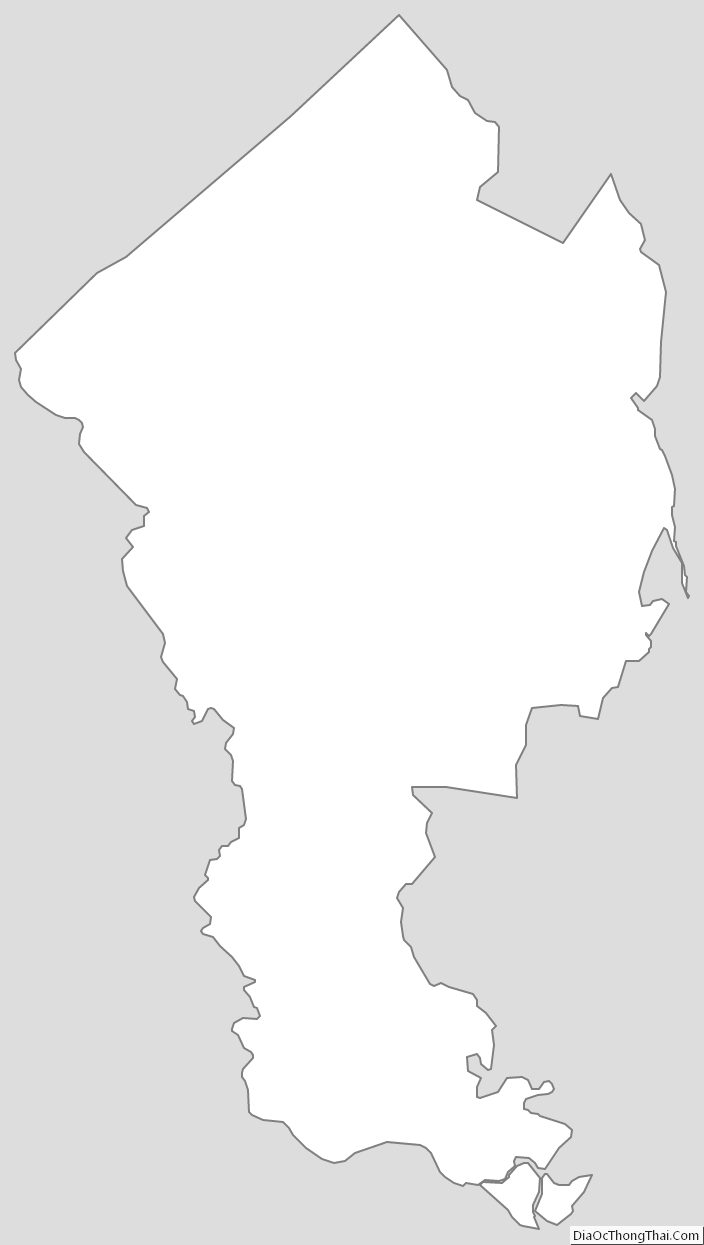
Jasper County Outline Map