Jerome County is a county in the U.S. state of Idaho. As of the 2010 Census the county had a population of 22,374. The county seat and largest city is Jerome. The county was created by the Idaho Legislature on February 8, 1919, by a partition of Lincoln County. It was named after either Jerome Hill, a developer of the North Side Irrigation Project, his son-in-law Jerome Kuhn, or his grandson Jerome Kuhn, Jr.
Jerome County is part of the Twin Falls, ID Micropolitan Statistical Area.
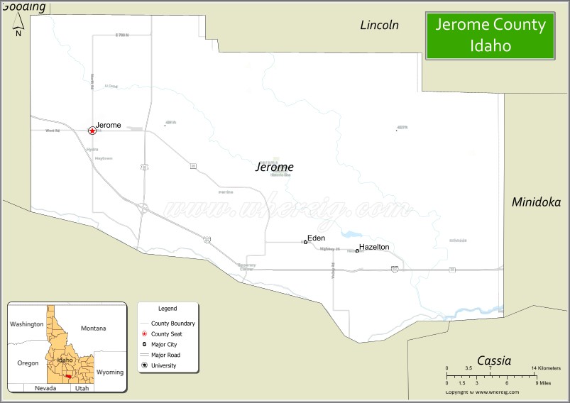
The Minidoka Relocation Camp, one of ten Japanese American internment camps set up during World War II, was located in Jerome County, six miles (9.6 km) north of Eden.
| Name: | Jerome County |
|---|---|
| FIPS code: | 16-053 |
| State: | Idaho |
| Founded: | February 8, 1919 |
| Seat: | Jerome |
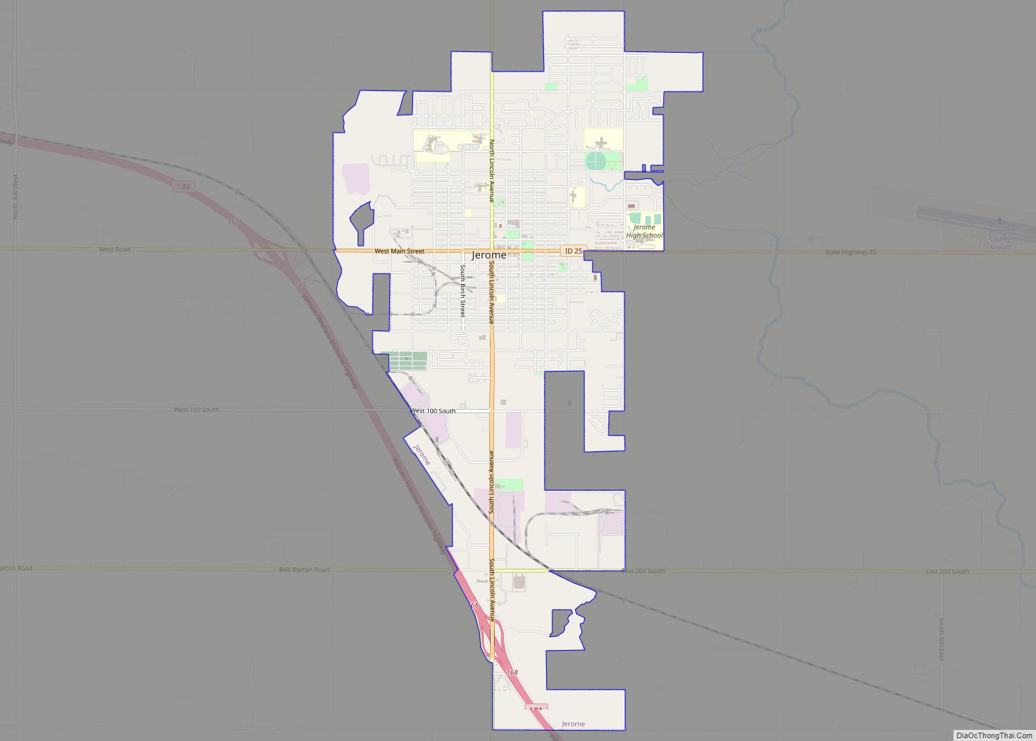
| Largest city: | Jerome |
| Total Area: | 602 sq mi (1,560 km²) |
| Land Area: | 597 sq mi (1,550 km²) |
| Total Population: | 22,374 |
| Population Density: | 37/sq mi (14/km²) |
| Time zone: | UTC−7 (Mountain) |
| Summer Time Zone (DST): | UTC−6 (MDT) |
| Website: | www.jeromecountyid.us |
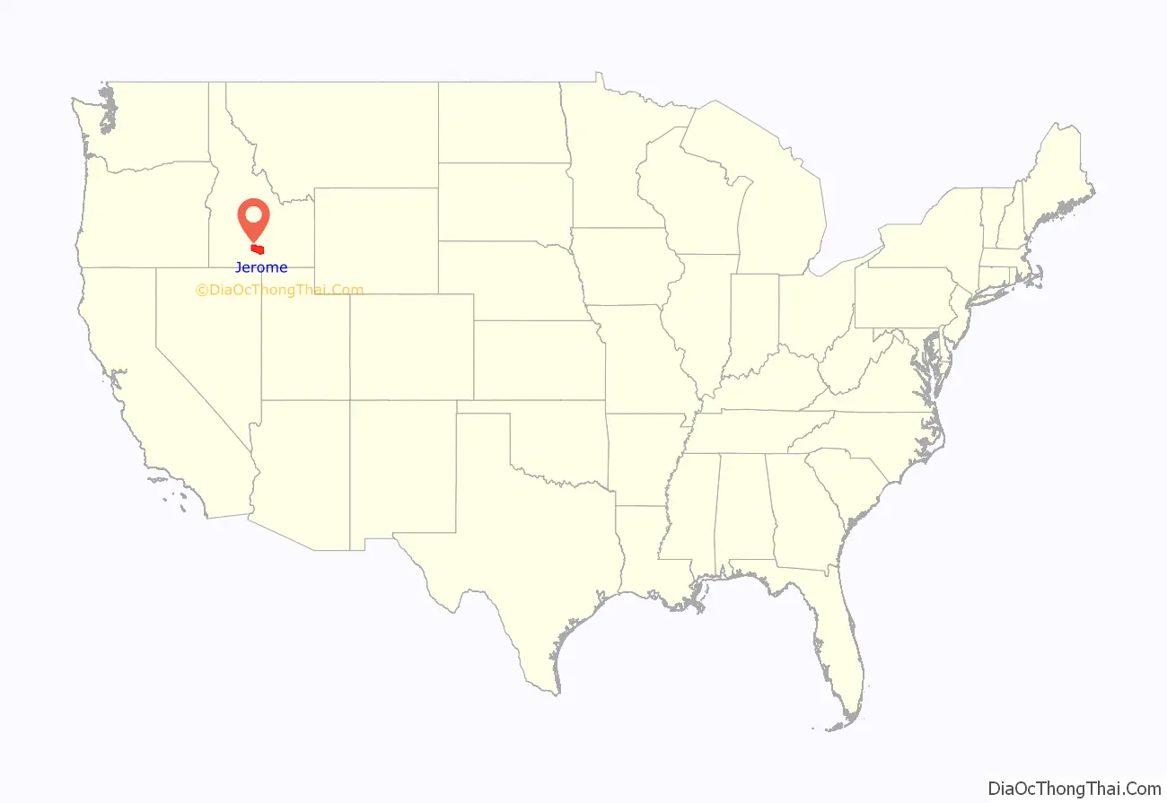
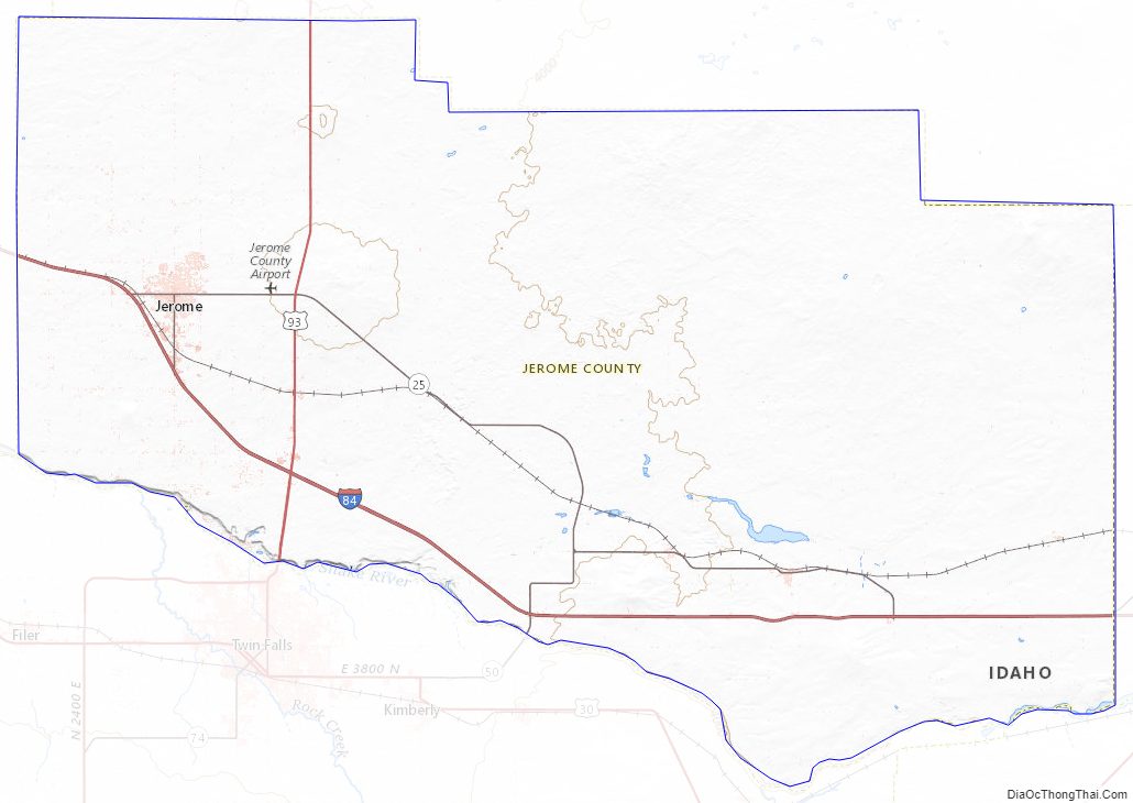
Jerome County location map. Where is Jerome County?
History
Jerome county’s settlements are among Idaho’s youngest. While Jerome County was located quite close to the Oregon Trail and subsequent stagecoach lines, it was also divided from them by the 500-ft (152 m) deep Snake River Canyon. The depth of the canyon also eliminated the possibility of drawing water for farming operations. Together, those factors made the area unattractive to early Idahoans looking to settle during the territorial and early statehood era. Construction of the railroad across Idaho in the 1880s also bypassed the Jerome area with the route being run 16 miles (26 km) north of the present center of Jerome City. A ferry commenced operation at Shoshone Falls on April 15, 1884, facilitating travel between the railroad and settlements south of the Snake River.
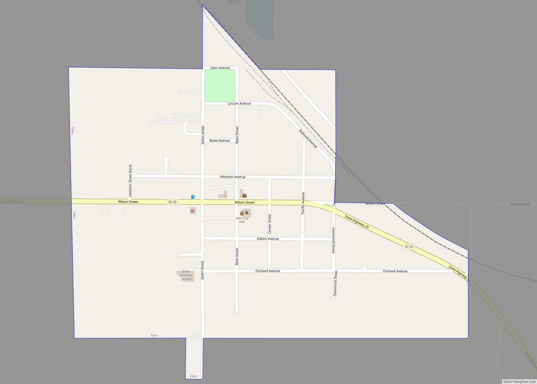
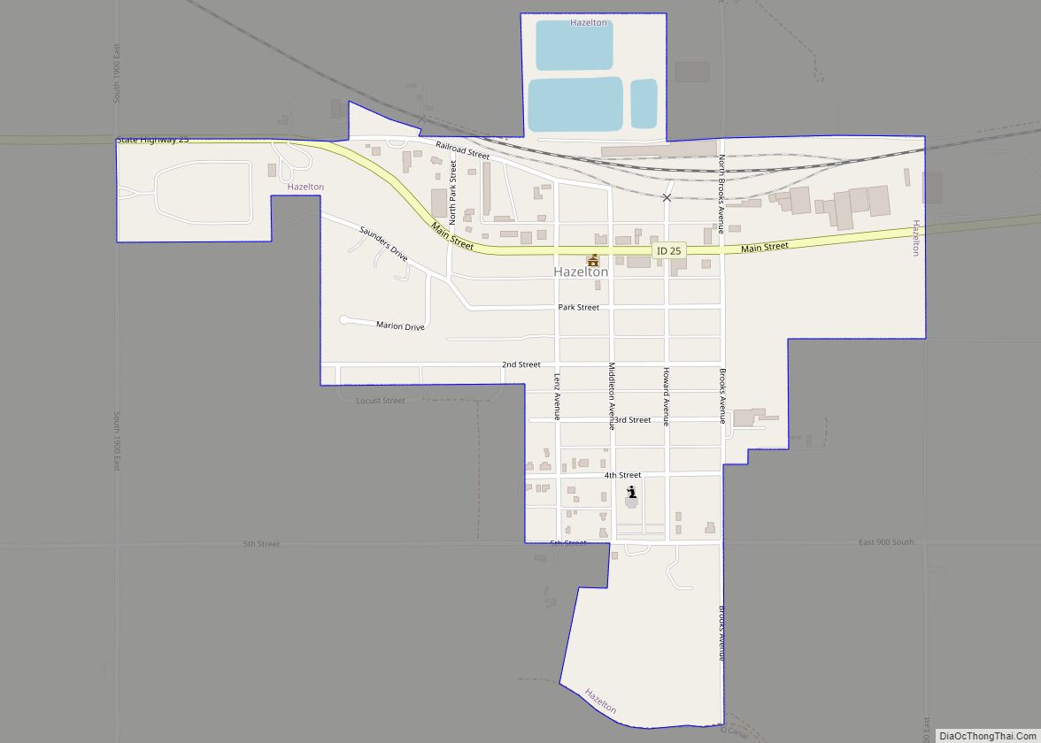
The Schodde settlement on Jerome County’s western border north of Milner was established as the Schoddie Precinct under Lincoln County with a 1900 census population of 24. Completion of the Milner Dam and associated Northside Canal in 1905 brought a water supply to the north side of the Snake River that also brought farmers to the region. Eden and Hazelton were settled starting in 1905. Settlement at Jerome commenced September 30, 1907 and the Idaho Southern Railway reached Jerome on December 28, 1908. By the 1910 Census, Jerome Village contained 970 residents having been incorporated in 1909. Also by that time, Lincoln County established two precincts of Hillsdale (400 residents) and Jerome (2,032 residents). The towns of Eden and Hazelton were part of the Hillsdale precinct and the Schoddie precinct ceased to exist. By the 1920 Census, Eden and Hazelton also were incorporated as villages.
Jerome, Eden, and Hazelton were all part of Lincoln County at their formation. Eden and Hazelton became part of Minidoka County at its creation in 1913. Jerome County became the 43rd of Idaho’s 44 counties on February 8, 1911. It is three days older than Caribou County.
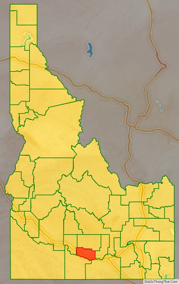
Adjacent counties
- Lincoln County – north
- Gooding County – west
- Twin Falls County – south
- Cassia County – southeast
- Minidoka County – east
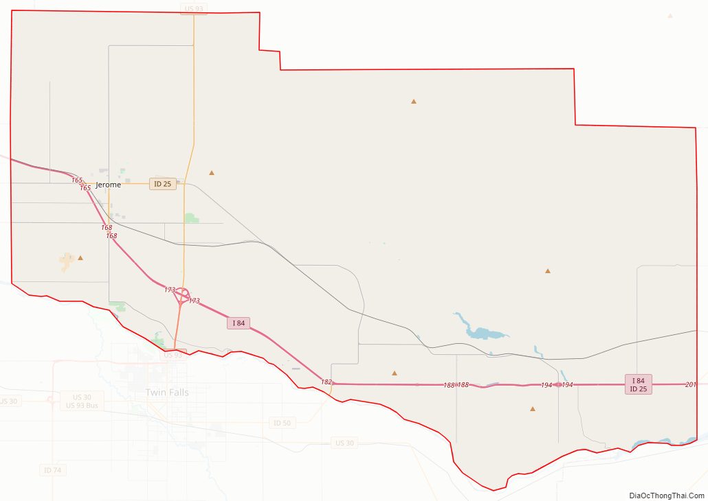
Major highways
- Interstate 84
- US 93
- SH-25
- SH-79
National protected areas
- Minidoka National Historic Site
Jerome County Road Map
Geography
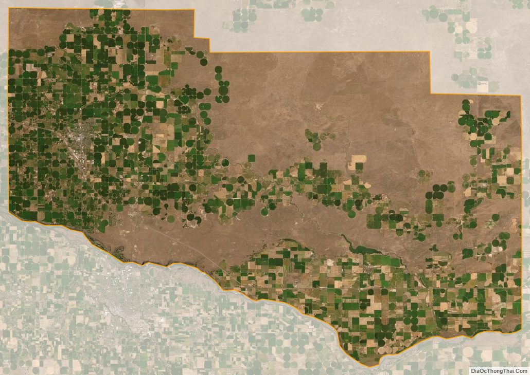
According to the U.S. Census Bureau, the county has a total area of 602 square miles (1,560 km), of which 597 square miles (1,550 km) is land and 5.0 square miles (13 km) (0.8%) is water.
Jerome County Topographic Map
Jerome County Satellite Map
Jerome County Outline Map