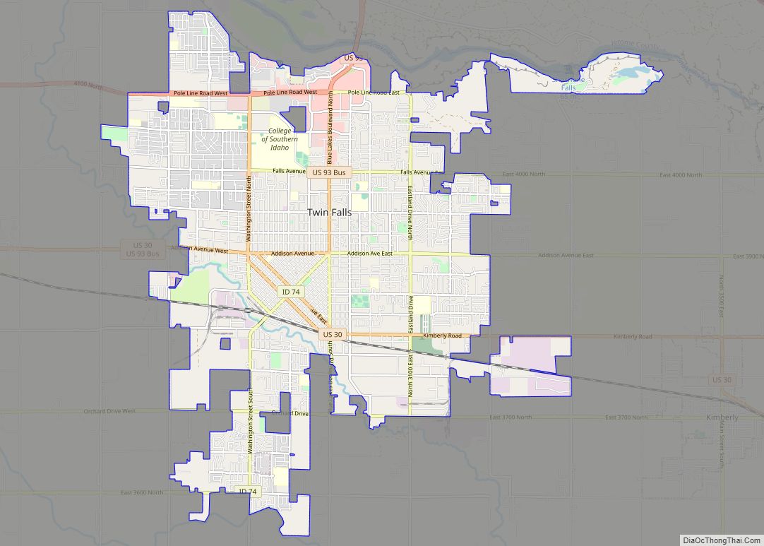
Twin Falls is the county seat and largest city of Twin Falls County, Idaho, United States. The city had a population of 51,807 as of the 2020 census. In the Magic Valley region, Twin Falls is the largest city in a 100-mile (160 km) radius, and is the regional commercial center for south-central Idaho and northeastern Nevada. It is the principal city of the Twin Falls metropolitan statistical area, which officially includes the entirety of Twin Falls and Jerome Counties. The border town resort community of Jackpot, Nevada, 50 mi (80 km) south at the state line, is unofficially considered part of the greater Twin Falls area. Located on a broad plain at the south rim of the Snake River Canyon, Twin Falls, is where daredevil Evel Knievel attempted to jump across the canyon in 1974 on a steam-powered rocket. The jump site is northeast of central Twin Falls, midway between Shoshone Falls and the Perrine Bridge.
| Name: | Twin Falls city |
|---|---|
| LSAD Code: | 25 |
| LSAD Description: | city (suffix) |
| State: | Idaho |
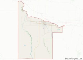
| County: | Twin Falls County |
| Incorporated: | April 12, 1905 |
| Elevation: | 3,734 ft (1,138 m) |
| Land Area: | 19.36 sq mi (50.13 km²) |
| Water Area: | 0.11 sq mi (0.30 km²) |
| Population Density: | 2,593.49/sq mi (1,001.34/km²) |
| ZIP code: | 83301 (street addresses) 83303 (PO Boxes) |
| Area code: | 208, 986 |
| FIPS code: | 1682810 |
| GNISfeature ID: | 0398273 |
| Website: | http://www.tfid.org |
Online Interactive Map
Click on ![]() to view map in "full screen" mode.
to view map in "full screen" mode.
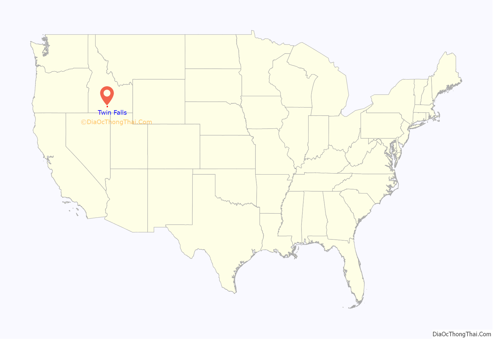
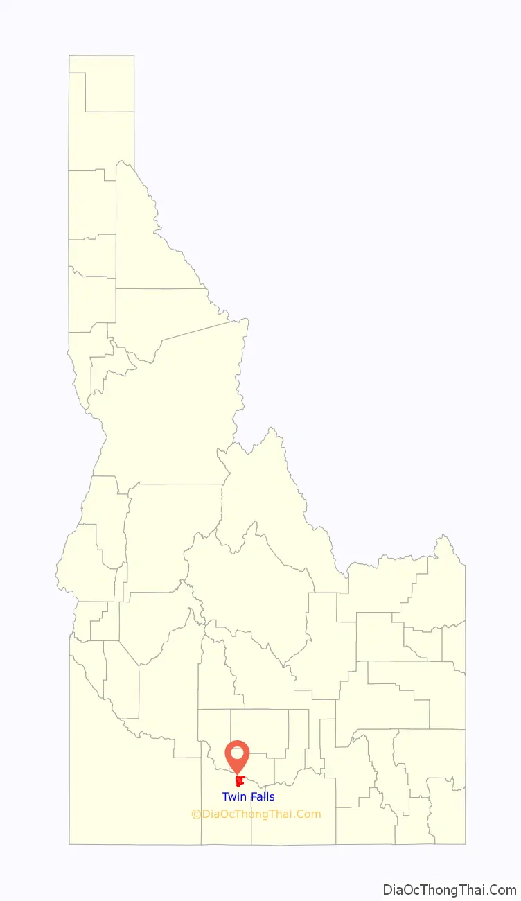
Twin Falls location map. Where is Twin Falls city?
History
Excavations at Wilson Butte Cave near Twin Falls in 1959 revealed evidence of human activity, including arrowheads, that rank among the oldest dated artifacts in North America. Later Native American tribes predominant in the area included the Northern Shoshone and Bannock.
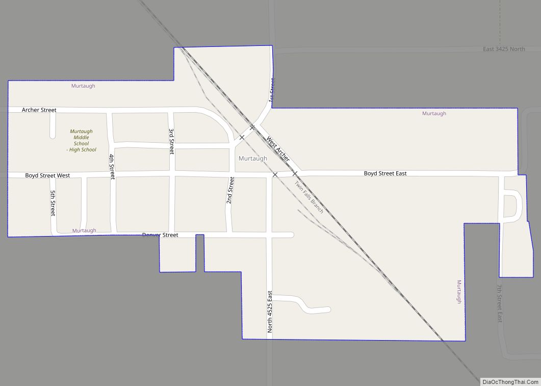
The first people of European ancestry to visit the Twin Falls area are believed to be members of a group led by American Wilson Price Hunt, who attempted to blaze an all-water trail westward from St. Louis, Missouri, to Astoria, Oregon, in 1811 and 1812. Hunt’s expedition met with disaster; much of his expedition was destroyed and one man was killed in rapids on the Snake River known as Caldron Linn near present-day Murtaugh. Hunt and the surviving members of his expedition completed the journey to Astoria by land.
In 1812 and 1813, Robert Stuart successfully led an overland expedition eastward from Astoria to St. Louis, which passed through the Twin Falls area. Stuart’s route formed the basis of what became the Oregon Trail. Some 150 years later, Robert Stuart Middle School in Twin Falls was named in his honor.
The first permanent settlement in the area was a stage stop established in 1864 at Rock Creek near the present-day townsite. By 1890, a handful of successful agricultural operations were in the Snake River Canyon, but the lack of infrastructure and the canyon’s geography made irrigating the dry surrounding area improbable at best.
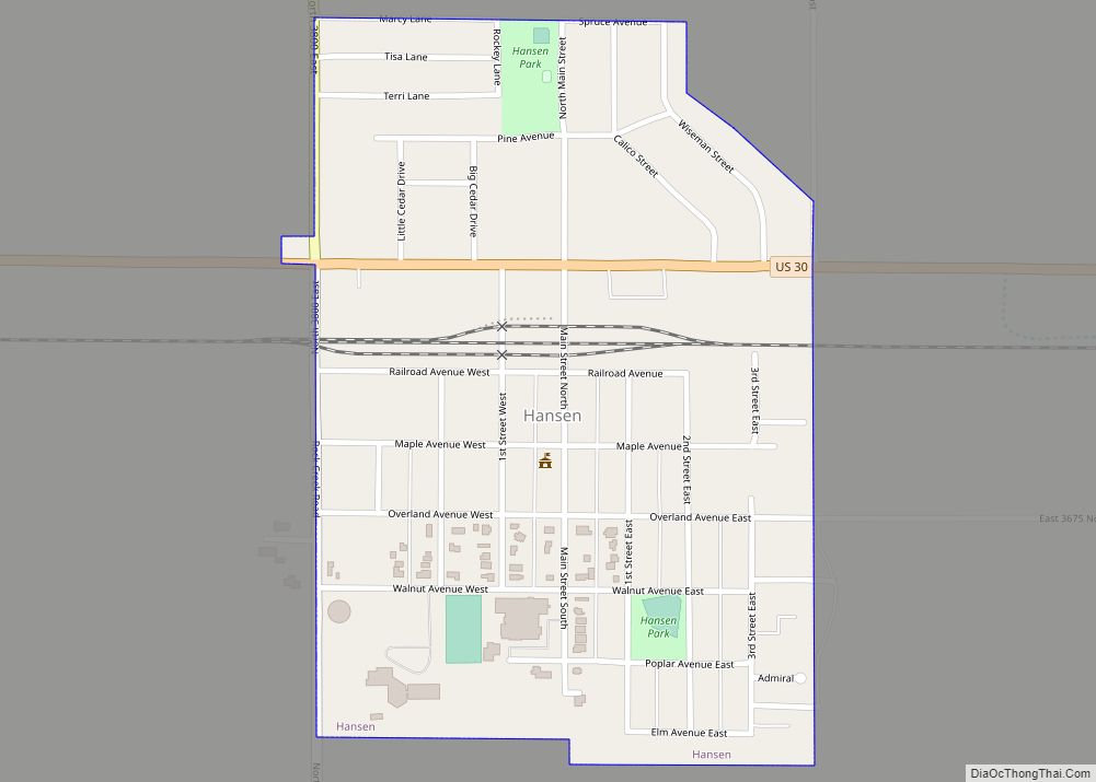
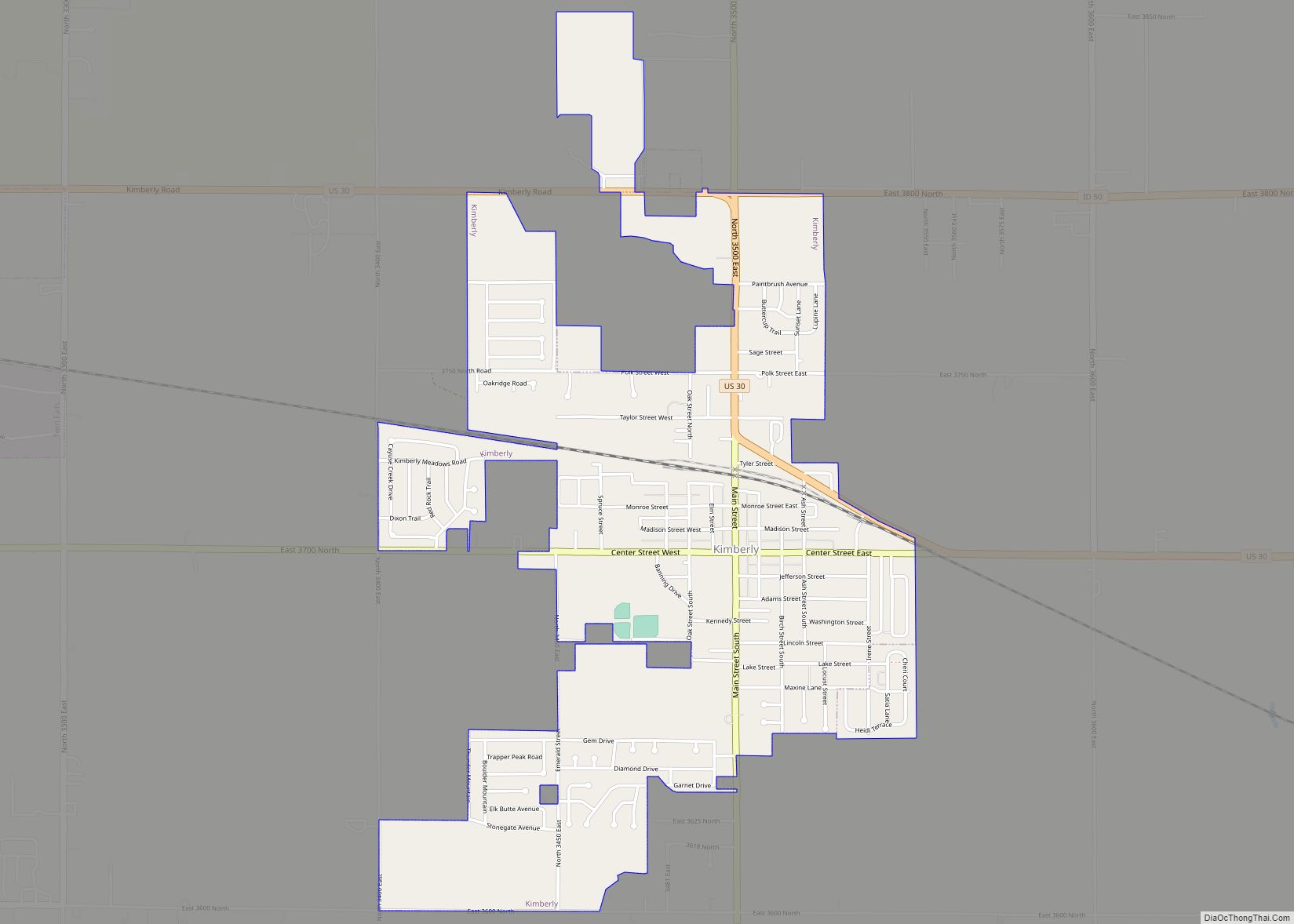
To address this issue in 1900, I. B. Perrine founded the Twin Falls Land and Water Company, largely to build an irrigation canal system for the area. After an August 1900 area survey of 244,025 acres (98,753 ha) in October 1900, the company was granted the necessary water rights to begin construction of the irrigation system. Several lots in the surveyed area were set aside specifically for future townsites. These lots eventually became the settlements of Twin Falls, Kimberly, Buhl, Filer, Hansen, and Murtaugh. In 1902, the project nearly failed, as most of the original investors pulled out, with only Salt Lake City businessman Stanley Milner maintaining a stake in the company.
By 1903, Perrine, who had been a successful farmer and rancher in the Snake River Canyon, had obtained private financing from Milner and others under the provisions of the Carey Act of 1894 to build a dam on the Snake River near Caldron Linn. Completed in 1905, Milner Dam and its accompanying canals made commercial irrigation outside the Snake River Canyon practical for the first time. As a result, Perrine is generally credited as the founder of Twin Falls.
A land drawing was held for the future townsite in July 1903, with disappointing results. A much more successful drawing was held in October 1904. Twin Falls city was founded in 1904 as a planned community, designed by celebrated Franco-American architect Emmanuel Louis Masqueray, with proceeds from sales of townsite lots going toward construction of irrigation canals. Twin Falls was incorporated as a village on April 12, 1905. The city is named for a nearby waterfall on the Snake River of the same name. In 1907, Twin Falls became the seat of the newly formed Twin Falls County.
The original townsite follows a unique design. It is laid out on northeast-to-southwest and northwest-to-southeast roads. The purported reason this was done was to allow sunlight to come into every room in the homes at some point during the day. The northwest-to-southeast roads were numbered and called avenues, while the northeast-to-southwest roads were numbered and called streets. Only two central streets, the northwest-to-southeast Main Avenue and the northeast-to-southwest Shoshone Street, were named. This system created situations where one side of a street may have an entirely different address from the other, and where the corner of “3rd and 3rd”, for example, occurred in more than one location. In 2003, the numbered northeast-to-southwest streets were renamed to alleviate decades of confusion. Later city roads, such as Blue Lakes Boulevard, Addison Avenue, and Washington Street, are laid out in standard north–south and east–west orientations. Addison Avenue honors Addison T. Smith (1862–1956), a 10-term congressman (1913–33) from Twin Falls.
After Milner Dam was constructed, agricultural production in south-central Idaho increased substantially. In 1909, the privately owned Twin Falls Land and Water Company was reorganized as the shareholder-owned Twin Falls Canal Company. Twin Falls became a major regional economic center serving the agriculture industry, a role which it has sustained to the present day. The city became a processing center for several agricultural commodities, notably beans and sugar beets. In later years, other food-processing operations augmented the local economy. By 1960, Twin Falls had become one of Idaho’s largest cities, though its origins were still within living memory for many.
Twin Falls became the center of national attention 49 years ago in September 1974, when daredevil Evel Knievel attempted to jump the Snake River Canyon in a specially modified rocket cycle. Watched by millions on closed-circuit television on a Sunday afternoon, the attempt ultimately failed due to high winds and a premature deployment of Knievel’s parachute. The launch ramp’s foundation lies on private land on the canyon’s south rim. Less than 2 miles west (3 km) of Shoshone Falls, it is still visible (42°35′49″N 114°25′23″W / 42.597°N 114.423°W / 42.597; -114.423).
During the last quarter of the 20th century, gradual diversification of the agriculture-based economy allowed the city to continue to grow. Major Twin Falls employers in 2006 included computer maker Dell, Inc., Glanbia, and Jayco, a recreational vehicle manufacturer. In September 2009, Dell announced it would close its Twin Falls facility by January 2010. Later in 2010, the call center company C3 opened a facility in the former Dell location.
In recent years, Twin Falls has become quite multicultural. Due in large part to a refugee center operated by the College of Southern Idaho since 1995, significant numbers of people from Bosnia and Herzegovina and the former Soviet Union have settled in Twin Falls. The city also has a sizable Hispanic population.
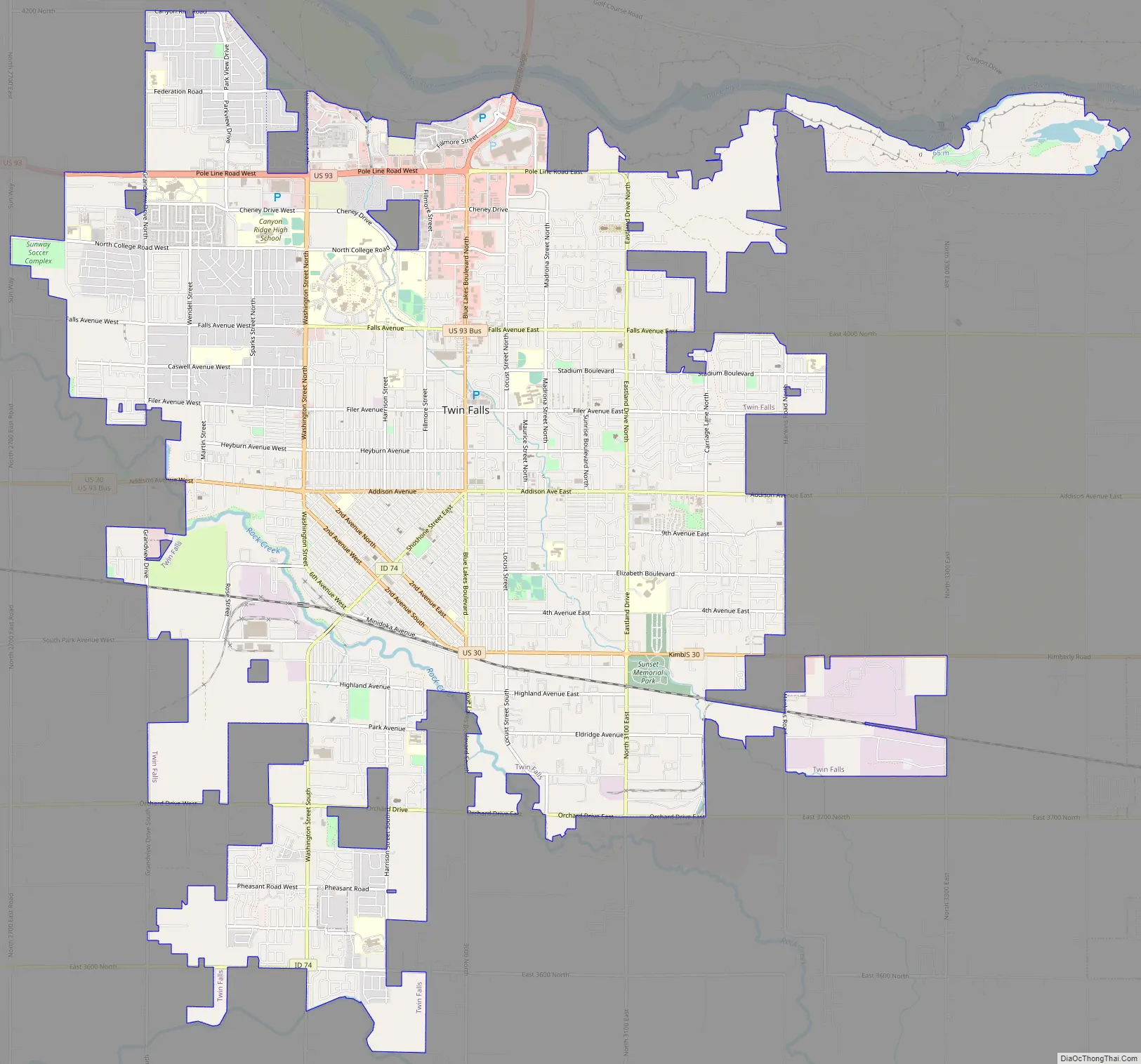
Twin Falls Road Map
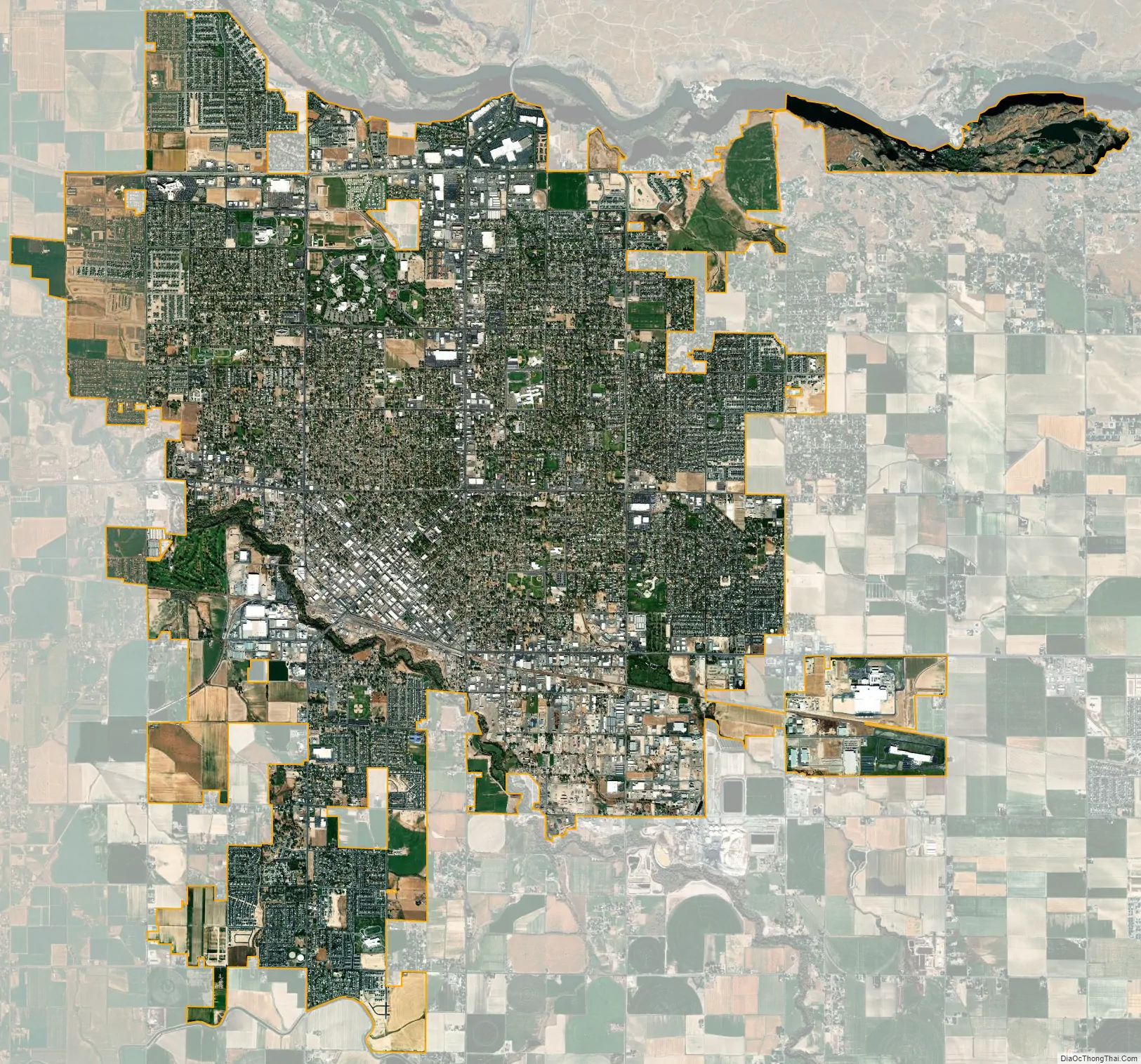
Twin Falls city Satellite Map
Geography
Twin Falls is located at 42°34’N 114°28’W (42.561,-114.464).
According to the United States Census Bureau, the city has a total area of 18.16 square miles (47.03 km), of which 0.06 square miles (0.16 km) is covered by water.
The Snake River Canyon forms the city’s northern limits, separating it from Jerome County. Three waterfalls are in the immediate area. Shoshone Falls is located about 5 mi (8.0 km) east of Twin Falls city. Pillar Falls is located roughly 1+1⁄2 mi (2+1⁄2 km) upstream from the Perrine Bridge, while Twin Falls, the city’s namesake, is located upstream of Shoshone Falls.
Shoshone Falls stands at 213 ft (65 m), which is 46 ft (14 m) higher than Niagara Falls.
The Perrine Bridge, which spans the Snake River Canyon immediately north of the city, is one of only a handful of artificial structures worldwide where BASE jumping is legal. In September 2005, Miles Daisher of Twin Falls set a BASE-jumping world record by jumping off Perrine Bridge 57 times in a 24-hour period. In July 2006, Dan Schilling jumped off the bridge 201 times in 21 hours to raise money for charity. Unlike Daisher, Schilling was hoisted to the top of the bridge by a crane after every jump.
See also
Map of Idaho State and its subdivision:- Ada
- Adams
- Bannock
- Bear Lake
- Benewah
- Bingham
- Blaine
- Boise
- Bonner
- Bonneville
- Boundary
- Butte
- Camas
- Canyon
- Caribou
- Cassia
- Clark
- Clearwater
- Custer
- Elmore
- Franklin
- Fremont
- Gem
- Gooding
- Idaho
- Jefferson
- Jerome
- Kootenai
- Latah
- Lemhi
- Lewis
- Lincoln
- Madison
- Minidoka
- Nez Perce
- Oneida
- Owyhee
- Payette
- Power
- Shoshone
- Teton
- Twin Falls
- Valley
- Washington
- Alabama
- Alaska
- Arizona
- Arkansas
- California
- Colorado
- Connecticut
- Delaware
- District of Columbia
- Florida
- Georgia
- Hawaii
- Idaho
- Illinois
- Indiana
- Iowa
- Kansas
- Kentucky
- Louisiana
- Maine
- Maryland
- Massachusetts
- Michigan
- Minnesota
- Mississippi
- Missouri
- Montana
- Nebraska
- Nevada
- New Hampshire
- New Jersey
- New Mexico
- New York
- North Carolina
- North Dakota
- Ohio
- Oklahoma
- Oregon
- Pennsylvania
- Rhode Island
- South Carolina
- South Dakota
- Tennessee
- Texas
- Utah
- Vermont
- Virginia
- Washington
- West Virginia
- Wisconsin
- Wyoming