Judith Basin County is a county in the U.S. state of Montana. As of the 2020 census, the population was 2,023. Its county seat is the town of Stanford.
| Name: | Judith Basin County |
|---|---|
| FIPS code: | 30-045 |
| State: | Montana |
| Founded: | December 10, 1920 |
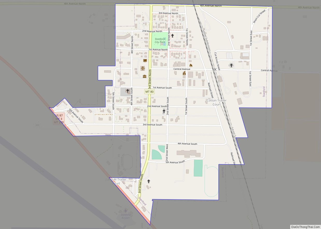
| Seat: | Stanford |
| Largest town: | Stanford |
| Total Area: | 1,871 sq mi (4,850 km²) |
| Land Area: | 1,870 sq mi (4,800 km²) |
| Total Population: | 2,023 |
| Population Density: | 1.0/sq mi (0.4/km²) |
| Time zone: | UTC−7 (Mountain) |
| Summer Time Zone (DST): | UTC−6 (MDT) |
| Website: | www.co.judith-basin.mt.us |
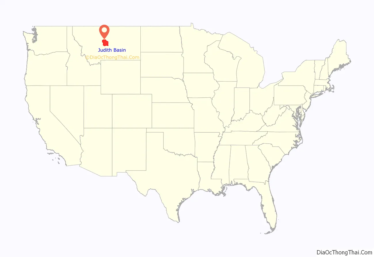
Judith Basin County location map. Where is Judith Basin County?
History
Judith Basin County was formed of area taken from western Fergus and eastern Cascade counties on December 10, 1920. In 1895, Yogo sapphires were discovered at Yogo Gulch, about 15 miles southwest of Utica, which at the time was in Fergus County.
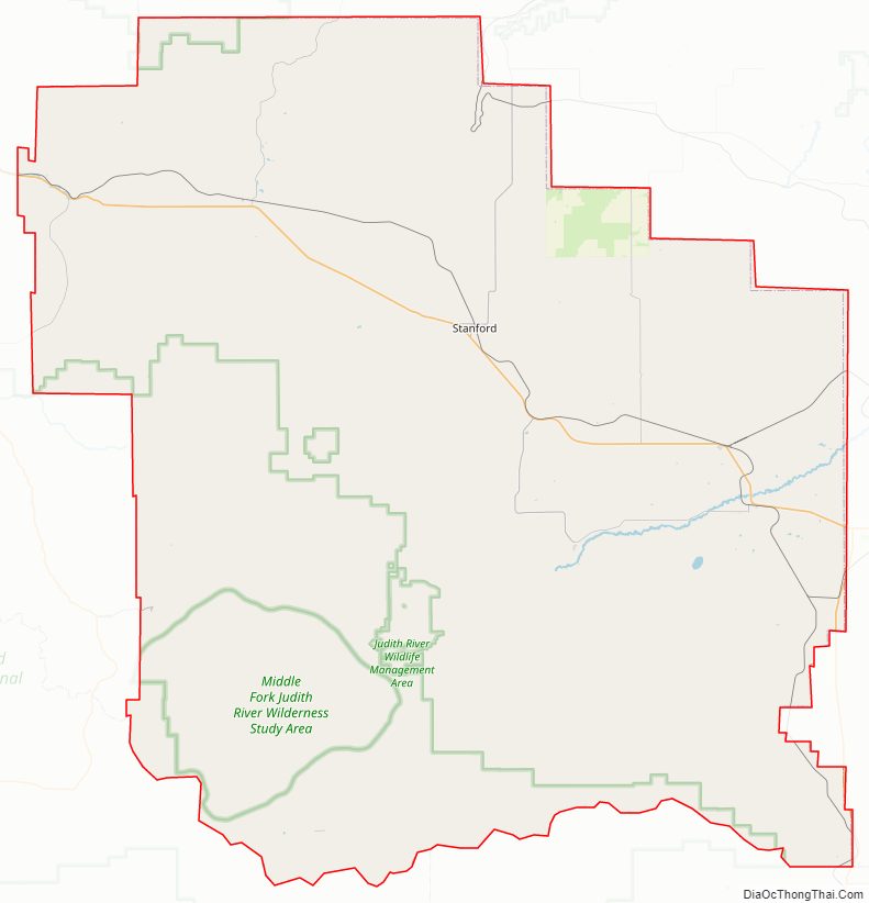
Judith Basin County Road Map
Geography
According to the United States Census Bureau, the county has a total area of 1,871 square miles (4,850 km), of which 1,870 square miles (4,800 km) is land and 0.8 square miles (2.1 km) (0.04%) is water.
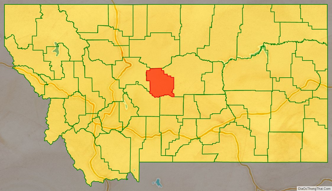
Adjacent counties
- Chouteau County – north
- Fergus County – east
- Wheatland County – south
- Meagher County – south
- Cascade County – west
National protected area
- Lewis and Clark National Forest (part)
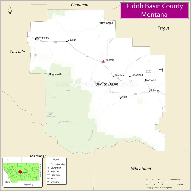
City
Town
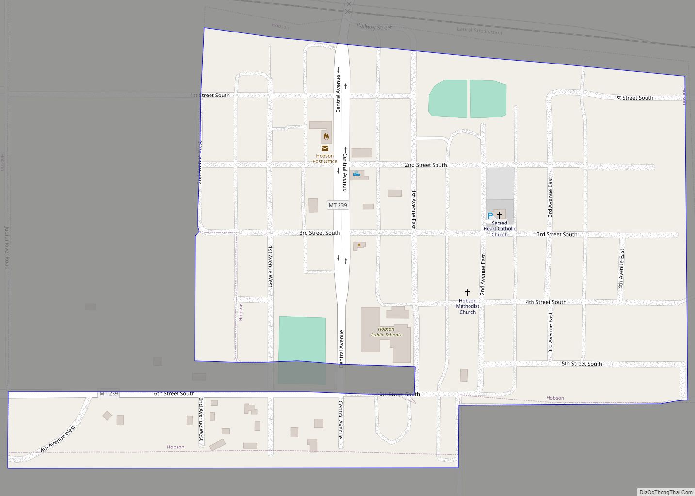
- Stanford (county seat)
Census-designated places
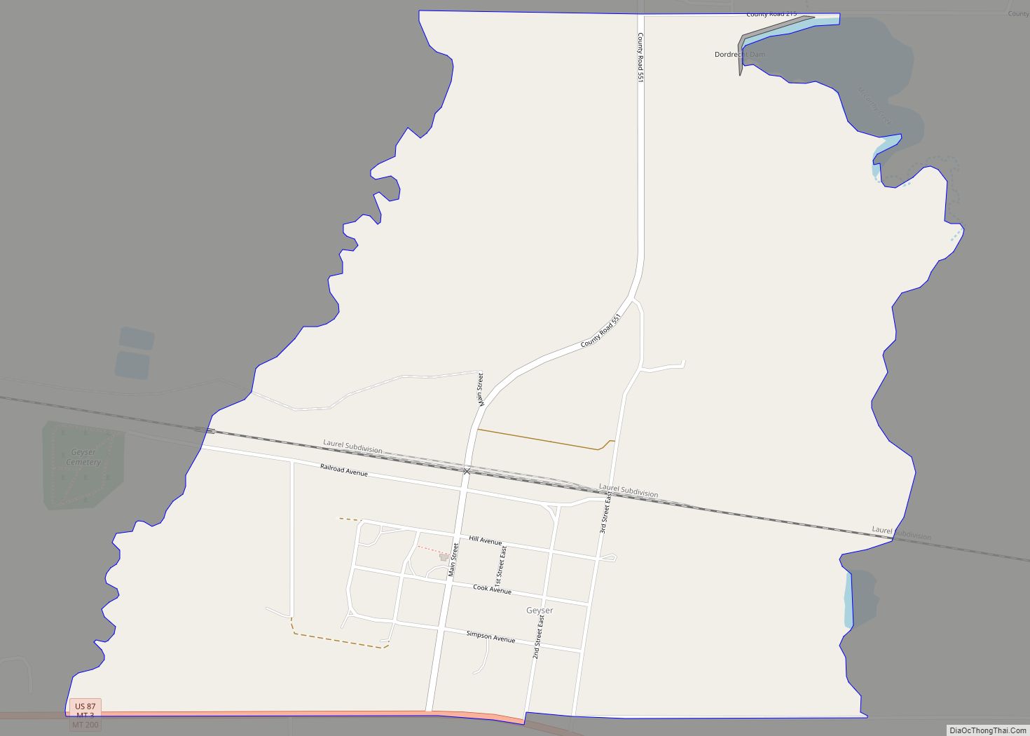
- Geyser
- Moccasin
- Raynesford
- Sapphire Ridge
- Surprise Creek Colony
- Utica
- Windham
Other unincorporated communities
- Arrow Creek
- Benchland
- Hughesville
- Kolin
- Lehigh
- Sapphire Village
- Sipple
- Spion Kop
- Utica
Former town
- Ubet
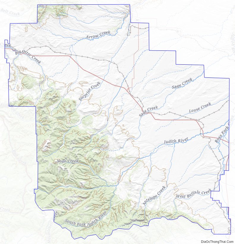
Judith Basin County Topographic Map
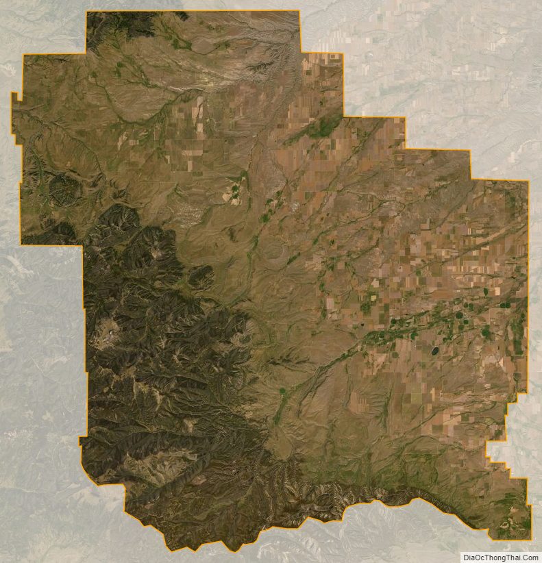
Judith Basin County Satellite Map
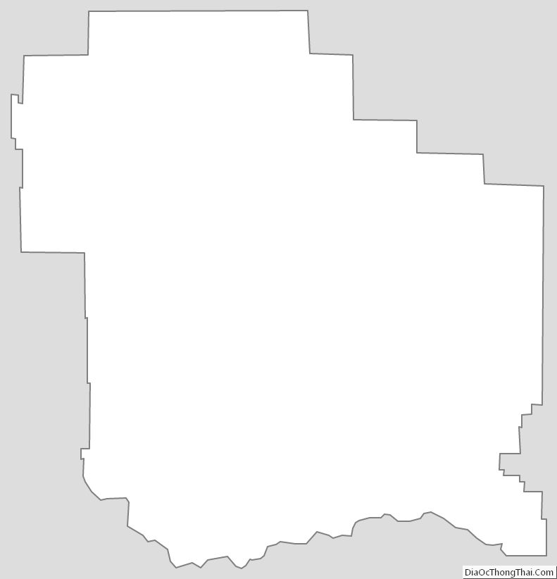
Judith Basin County Outline Map