Chouteau County is a county located in the North-Central region of the U.S. state of Montana. As of the 2020 census, the population was 5,895. Its county seat is Fort Benton. The county was established in 1865 as one of the original nine counties of Montana, and named in 1882 after Pierre Chouteau Jr., a fur trader who established a trading post that became Fort Benton, which was once an important port on the Missouri River.
Chouteau County is home to the Chippewa-Cree tribe on the Rocky Boy Indian Reservation. It contains part of the Lewis and Clark National Forest.
| Name: | Chouteau County |
|---|---|
| FIPS code: | 30-015 |
| State: | Montana |
| Founded: | 1865 |
| Named for: | Pierre Chouteau Jr. |
| Seat: | Fort Benton |
| Largest city: | Fort Benton |
| Total Area: | 3,997 sq mi (10,350 km²) |
| Land Area: | 3,972 sq mi (10,290 km²) |
| Total Population: | 5,895 |
| Population Density: | 1.5/sq mi (0.57/km²) |
| Time zone: | UTC−7 (Mountain) |
| Summer Time Zone (DST): | UTC−6 (MDT) |
| Website: | www.co.chouteau.mt.us |
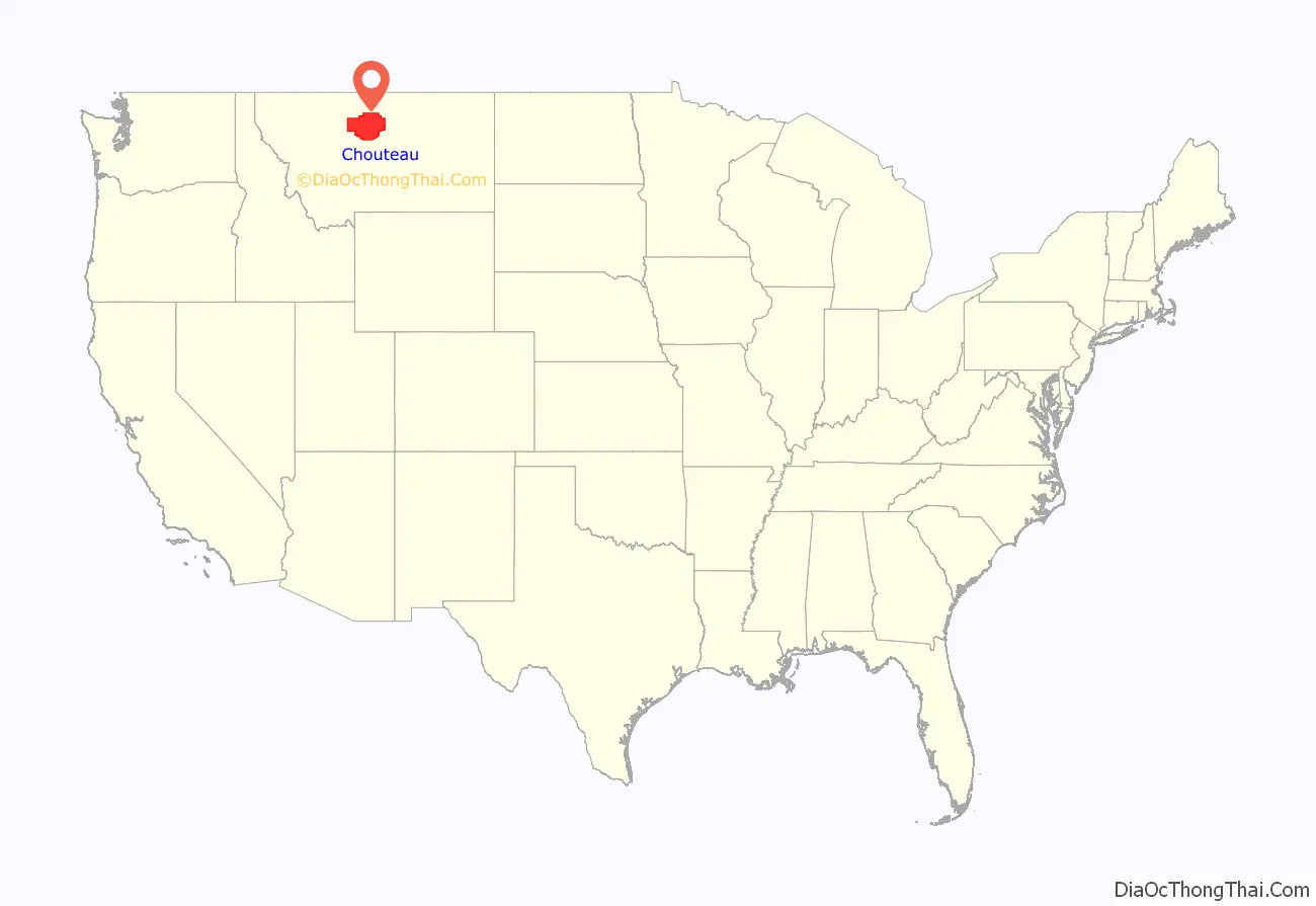
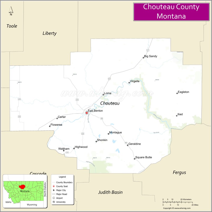
Chouteau County location map. Where is Chouteau County?
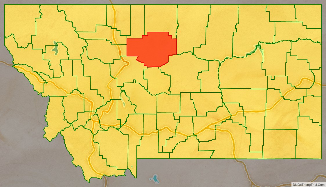
Chouteau County Road Map
Geography
According to the United States Census Bureau, the county has a total area of 3,997 square miles (10,350 km), of which 3,972 square miles (10,290 km) is land and 24 square miles (62 km) (0.6%) is water.
Chouteau County was once the largest county in the Montana Territory and the second largest in the United States, with an area of 15,439 square miles (39,990 km) in the early 20th century. However, some parts of the county were over 250 miles (400 km) from Fort Benton, and in 1893, the first of several divisions began with the creation of Teton County, the western portion of Chouteau County. Chouteau County lost half of its population from 1910 to 1930.
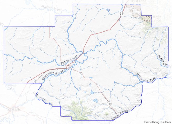
The land is mostly prairie. The Bear Paw Mountains rise in the eastern section and the Little Rockies and the Highwood ranges are in the southern portion. Major rivers include the Teton River, Marias River, Missouri River and the Arrow River.
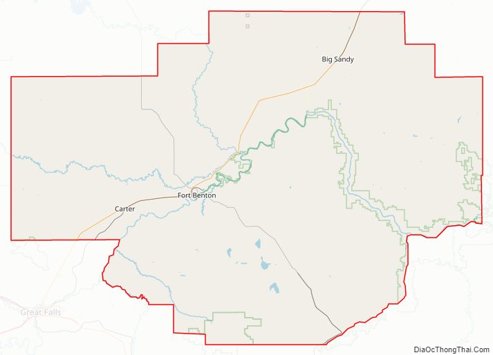
Adjacent counties
- Liberty County – north
- Hill County – north
- Blaine County – east
- Fergus County – southeast
- Judith Basin County – south
- Cascade County – south
- Teton County – west
- Pondera County – northwest
Major highway
- U.S. Route 87
National protected areas
- Lewis and Clark National Forest (part)
- Upper Missouri River Breaks National Monument (part)
Chouteau County Topographic Map
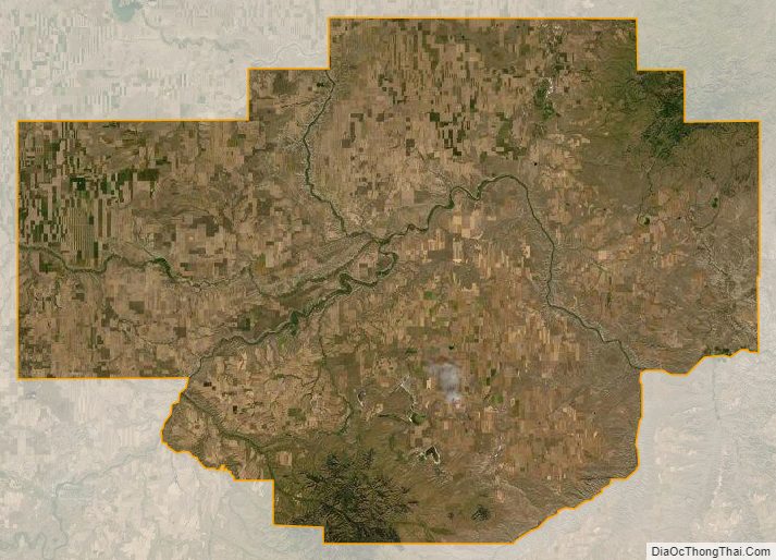
Chouteau County Satellite Map
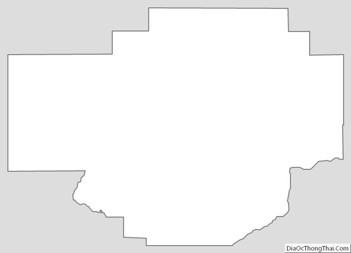
Chouteau County Outline Map