| Name: | Kane County |
|---|---|
| FIPS code: | 49-025 |
| State: | Utah |
| Founded: | January 16, 1864 |
| Named for: | Thomas L. Kane |
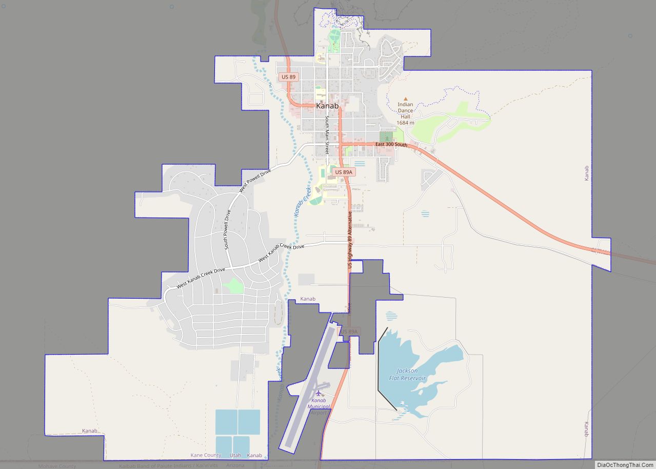
| Seat: | Kanab |
| Largest city: | Kanab |
| Total Area: | 4,109 sq mi (10,640 km²) |
| Land Area: | 3,990 sq mi (10,300 km²) |
| Total Population: | 7,667 |
| Population Density: | 1.9/sq mi (0.72/km²) |
| Time zone: | UTC−7 (Mountain) |
| Summer Time Zone (DST): | UTC−6 (MDT) |
| Website: | kane.utah.gov |
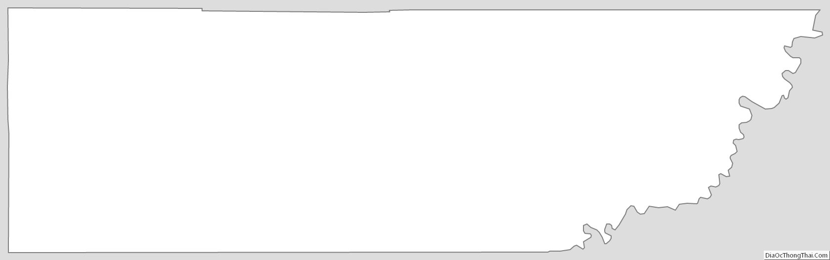
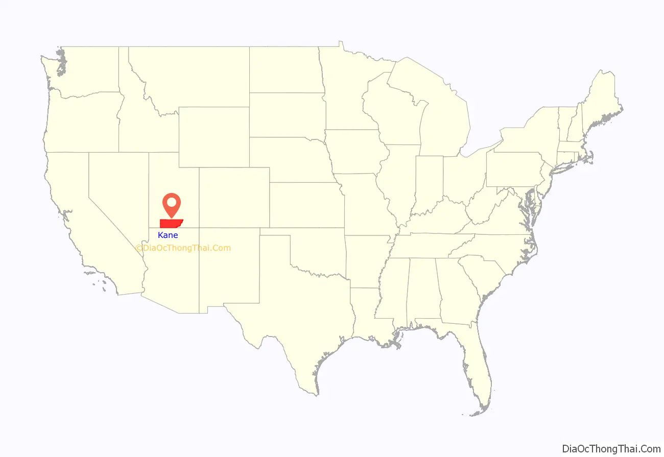
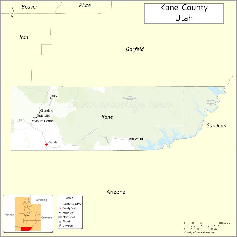
Kane County location map. Where is Kane County?
History
The county was created on January 16, 1864, by the Utah Territory legislature, with areas partitioned from Washington County. It was named for Col. Thomas L. Kane, a friend of the Latter Day Saint settlers in the 1840s and 1850s. The county boundary was adjusted in 1869, when a portion was returned to Washington County; in 1880, when San Juan County was created; and in 1883, when portions were partitioned from Kane and added to Iron and Washington counties.
Kane County Road Map
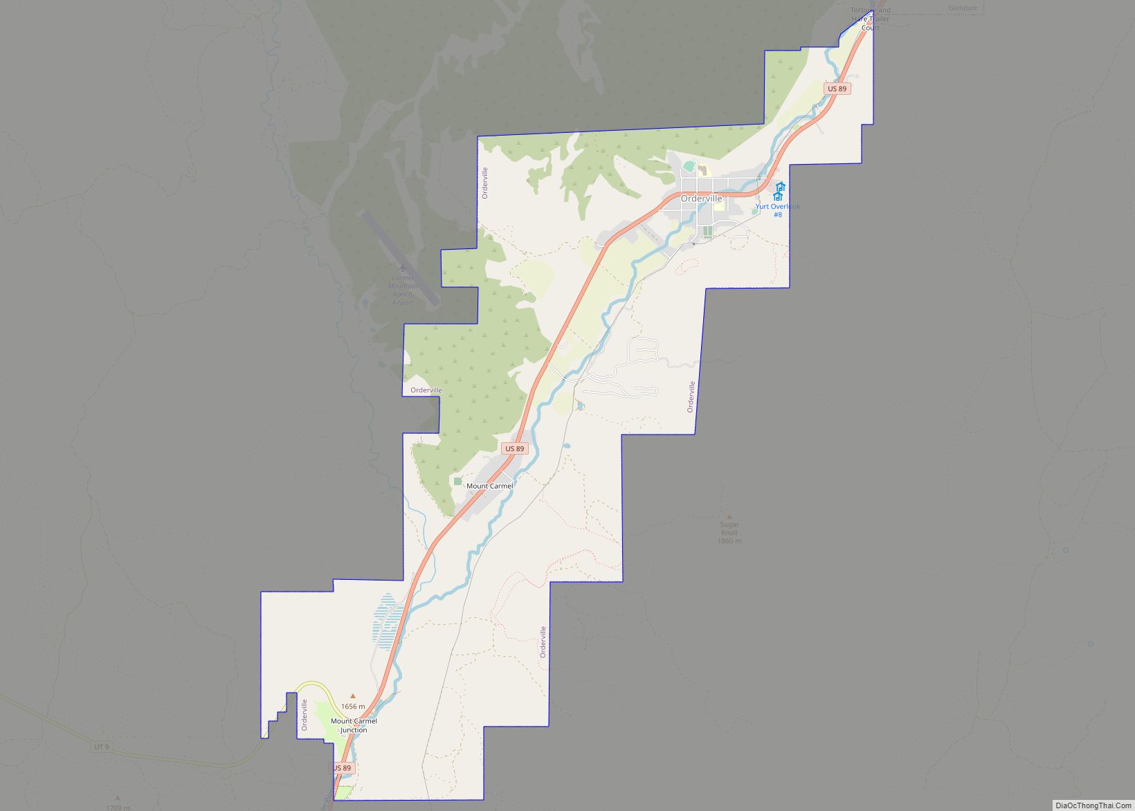
Geography
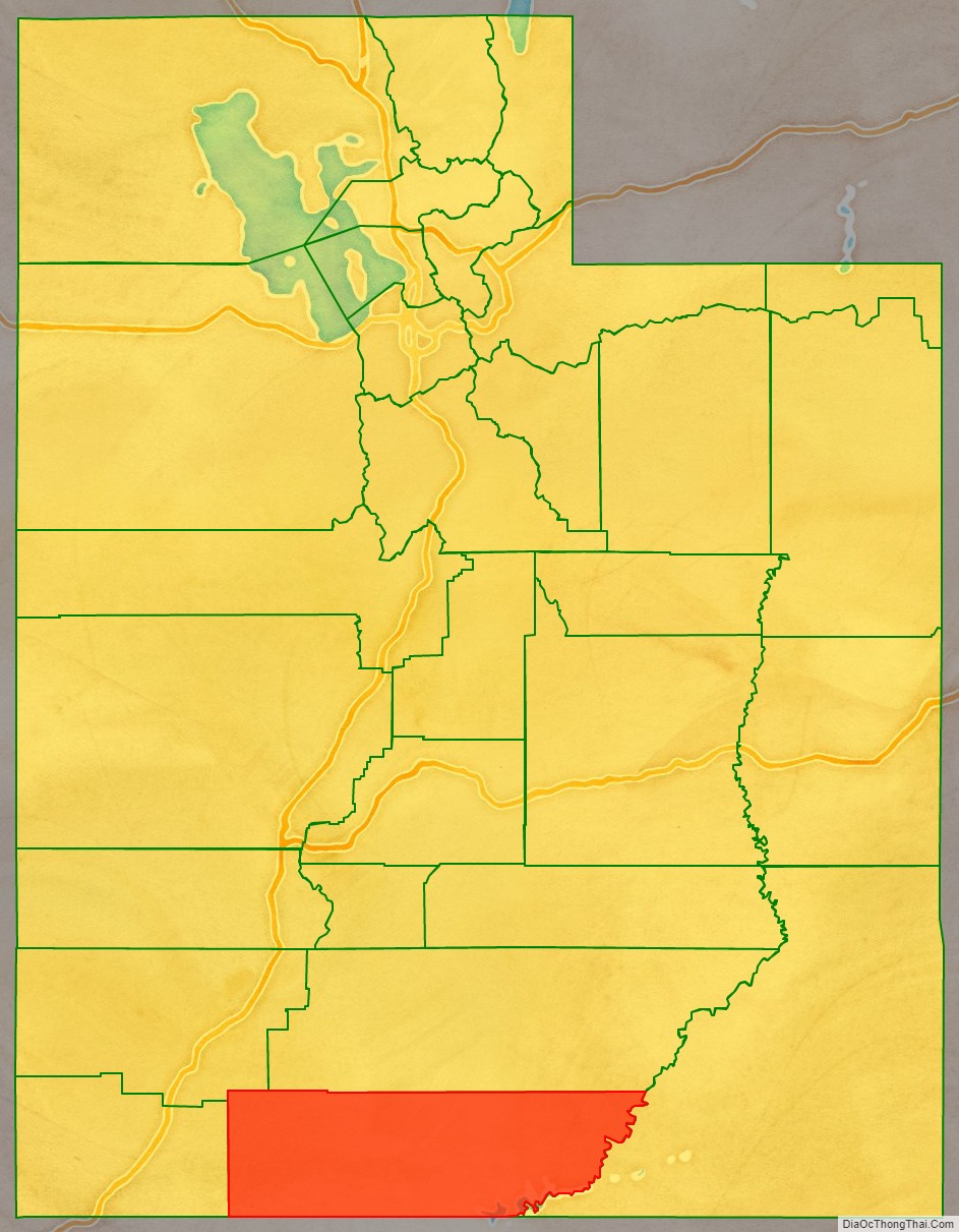
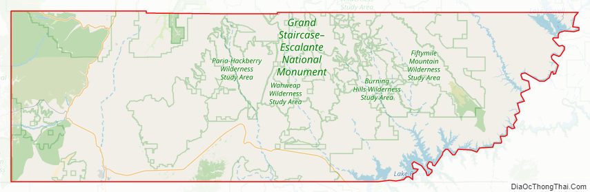
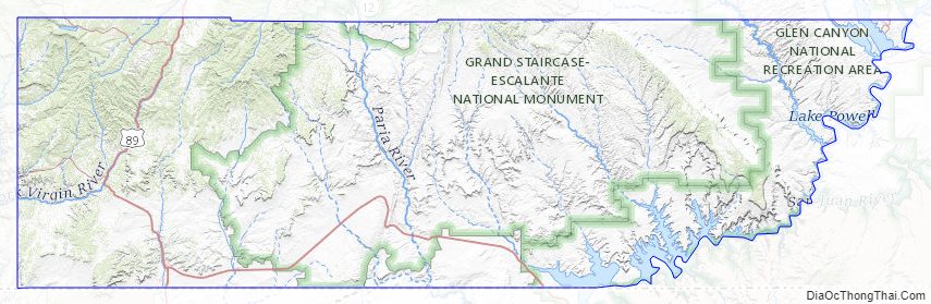
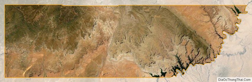
Kane County lies on the south line of the state of Utah. Its south border abuts the northern border of the state of Arizona. The Colorado River, reformed as Lake Powell, forms its eastern border. Grand Staircase–Escalante National Monument covers much of the county. A rugged and inhospitable country of deserts, mountains, and cliffs make up the terrain, with breathtaking scenery in every area. Parts of Bryce Canyon National Park and Zion National Park extend into the northern and western portions of the county. The eastern part of the county is part of the Glen Canyon National Recreation Area. The county has a total area of 4,109 square miles (10,640 km), of which 3,990 square miles (10,300 km) is land and 118 square miles (310 km) (2.9%) is water.
Adjacent counties
- Washington County – west
- Iron County – northwest
- Garfield County – north
- San Juan County – east
- Mohave County, Arizona – southwest
- Coconino County, Arizona – south
Protected areas
- Bryce Canyon National Park (part)
- Coral Pink Sand Dunes State Park
- Dixie National Forest (part)
- Glen Canyon National Recreation Area (part)
- Grand Staircase–Escalante National Monument (part)
- Kodachrome Basin State Park
- Zion National Park (part)
Lakes
- Lake Powell (along east border)
- Navajo Lake
Kane County Topographic Map
Kane County Satellite Map
Kane County Outline Map