| Name: | Coconino County |
|---|---|
| FIPS code: | 04-005 |
| State: | Arizona |
| Founded: | February 18, 1891 |
| Named for: | Hopi designation for the Havasupai, Hualapai, and/or Yavapai tribes |
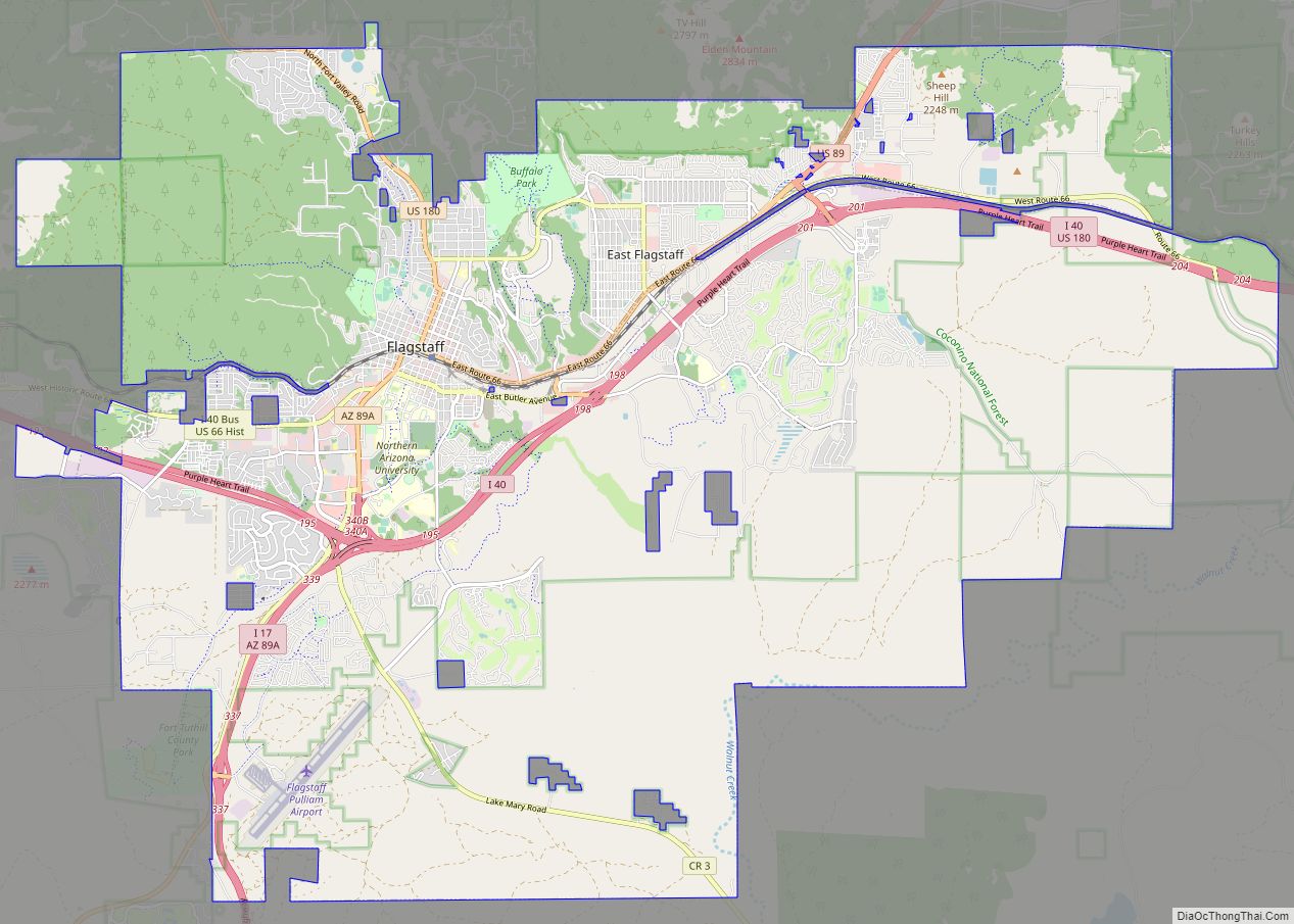
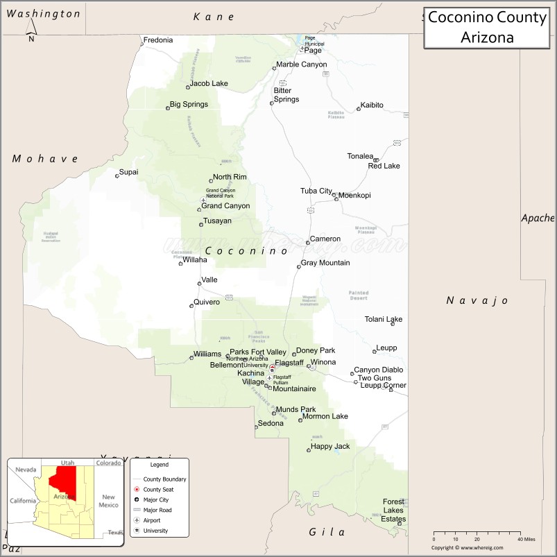
| Seat: | Flagstaff |
| Largest city: | Flagstaff |
| Total Area: | 18,661 sq mi (48,330 km²) |
| Land Area: | 18,619 sq mi (48,220 km²) |
| Total Population: | 145,101 |
| Population Density: | 7.8/sq mi (3.0/km²) |
| Time zone: | UTC−7 (Mountain) |
| Website: | coconino.az.gov |
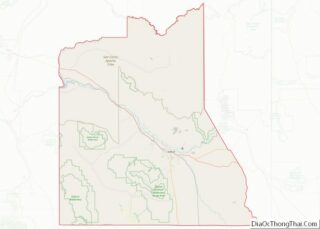
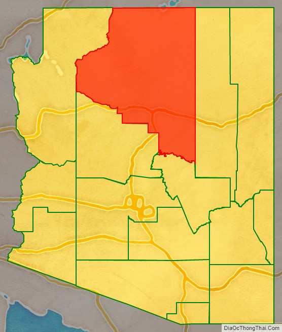
Coconino County location map. Where is Coconino County?

History
After European Americans completed the Atlantic & Pacific Railroad in 1883, the region of northern Yavapai County began to undergo rapid growth. The people of the northern reaches had tired of the rigors of traveling to Prescott to conduct county business. They believed that they should have their own county jurisdiction, so petitioned in 1887 for secession from Yavapai and creation of a new Frisco County. This did not take place, but Coconino County was formed in 1891 and its seat was designated as Flagstaff.
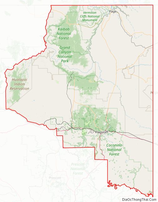
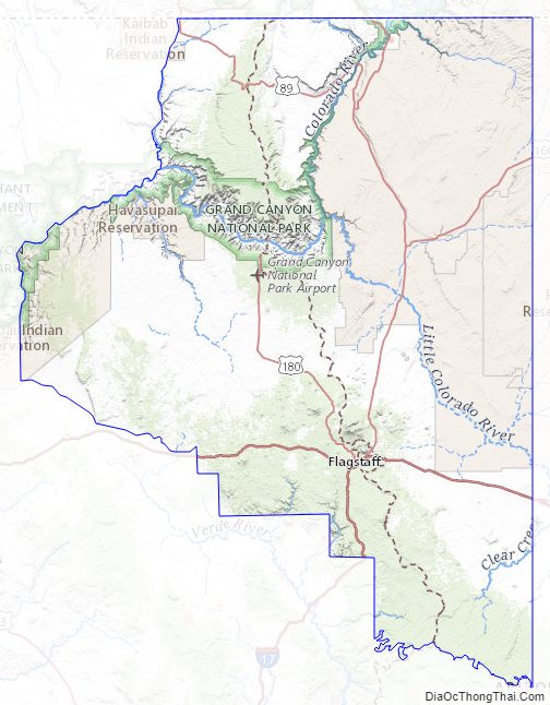
Coconino County Road Map
Geography
According to the United States Census Bureau, the county has a total area of 18,661 square miles (48,330 km), of which 18,619 square miles (48,220 km) are land and 43 square miles (110 km) (0.2%) are covered by water. It is the largest county by area in Arizona and the second-largest county in the United States (excluding boroughs in Alaska) after San Bernardino County in California. It has more land area than each of the following states: Connecticut, Delaware, Hawaii, Maryland, Massachusetts, New Hampshire, New Jersey, Rhode Island, and Vermont.
The highest natural point in the county, as well as the entire state, is Humphreys Peak at 12,637 ft or 3,852 m. The Barringer Meteor Crater is located in Coconino County.
Adjacent counties
- Mohave County – west
- Yavapai County – south
- Gila County – south
- Navajo County – east
- San Juan County, Utah – northeast
- Kane County, Utah – north
Indian reservations
Coconino County has 7,142 sq mi (18,497.7 km) of federally designated Indian reservations, second in scale only to Apache County. In descending order of area within the county, the reservations are the Navajo, Hualapai, Hopi, Havasupai, and Kaibab. The Havasupai Reservation is the only one that lies entirely within the county’s borders.
National protected areas
- Apache-Sitgreaves National Forest (part)
- Coconino National Forest (part)
- Glen Canyon National Recreation Area (part)
- Grand Canyon National Park (part)
- Kaibab National Forest (part)
- Prescott National Forest (part)
- Sunset Crater Volcano National Monument
- Vermilion Cliffs National Monument
- Walnut Canyon National Monument
- Wupatki National Monument
Coconino County Topographic Map
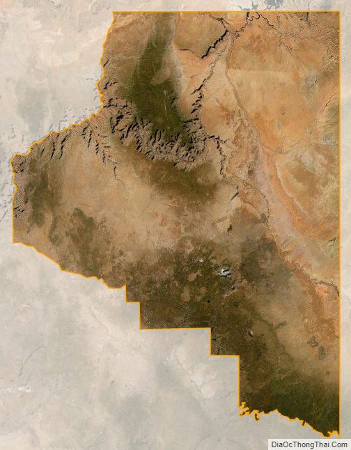
Coconino County Satellite Map
Coconino County Outline Map