Kanab (/kəˈnæb/ kə-NAB) is a city in and the county seat of Kane County, Utah, United States. It is located on Kanab Creek just north of the Arizona state line. This area was first settled in 1864, and the town was founded in 1870 when ten Mormon families moved into the area. Named for a Paiute word meaning “place of the willows,” Fort Kanab was built on the east bank of Kanab Creek in 1864 for defense against the Indians and as a base for the exploration of the area. The population was 4,312 at the 2010 census and an estimated 4,798 in 2018.
Kanab is situated in the “Grand Circle” area, centrally located among Vermilion Cliffs National Monument, Bryce Canyon National Park, the Grand Canyon (North Rim), Zion National Park, Pipe Spring National Monument, Monument Valley Navajo Tribal Park and Lake Powell. Other nearby attractions include Grand Staircase–Escalante National Monument, Coral Pink Sand Dunes State Park, the privately owned Moqui Cave, and the largest animal sanctuary in the United States, Best Friends Animal Society.
Locals refer to Kanab as “Little Hollywood” due to its history as a filming location for many movies and television series, prominently western, such as Stagecoach (1939), The Lone Ranger, Death Valley Days. Gunsmoke, Daniel Boone, El Dorado (1966), Planet of the Apes (1968), Mackenna’s Gold, Sergeants 3, WindRunner: A Spirited Journey, Western Union (1941), The Desperadoes (1943), In Old Oklahoma (1943), Buffalo Bill (1944), Westward the Women (1952), Tomahawk Trail (1957), Fort Bowie (1958), Sergeants Three (1962), Duel at Diablo (1966), Ride in the Whirlwind (1965), The Shooting (1966), and The Outlaw Josey Wales (1976).
| Name: | Kanab city |
|---|---|
| LSAD Code: | 25 |
| LSAD Description: | city (suffix) |
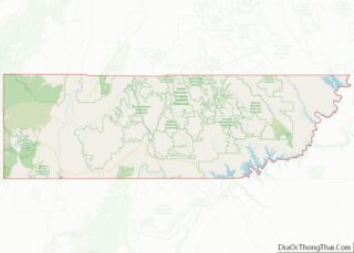
| State: | Utah |
| County: | Kane County |
| Incorporated: | 1935 |
| Elevation: | 4,970 ft (1,515 m) |
| Total Area: | 14.47 sq mi (37.48 km²) |
| Land Area: | 14.44 sq mi (37.39 km²) |
| Water Area: | 0.04 sq mi (0.09 km²) |
| Total Population: | 4,312 |
| Population Density: | 341.58/sq mi (131.89/km²) |
| ZIP code: | 84741 |
| Area code: | 435 |
| FIPS code: | 4939920 |
| GNISfeature ID: | 1429276 |
| Website: | kanab.utah.gov |
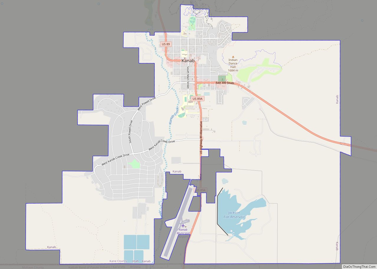
Online Interactive Map
Click on ![]() to view map in "full screen" mode.
to view map in "full screen" mode.
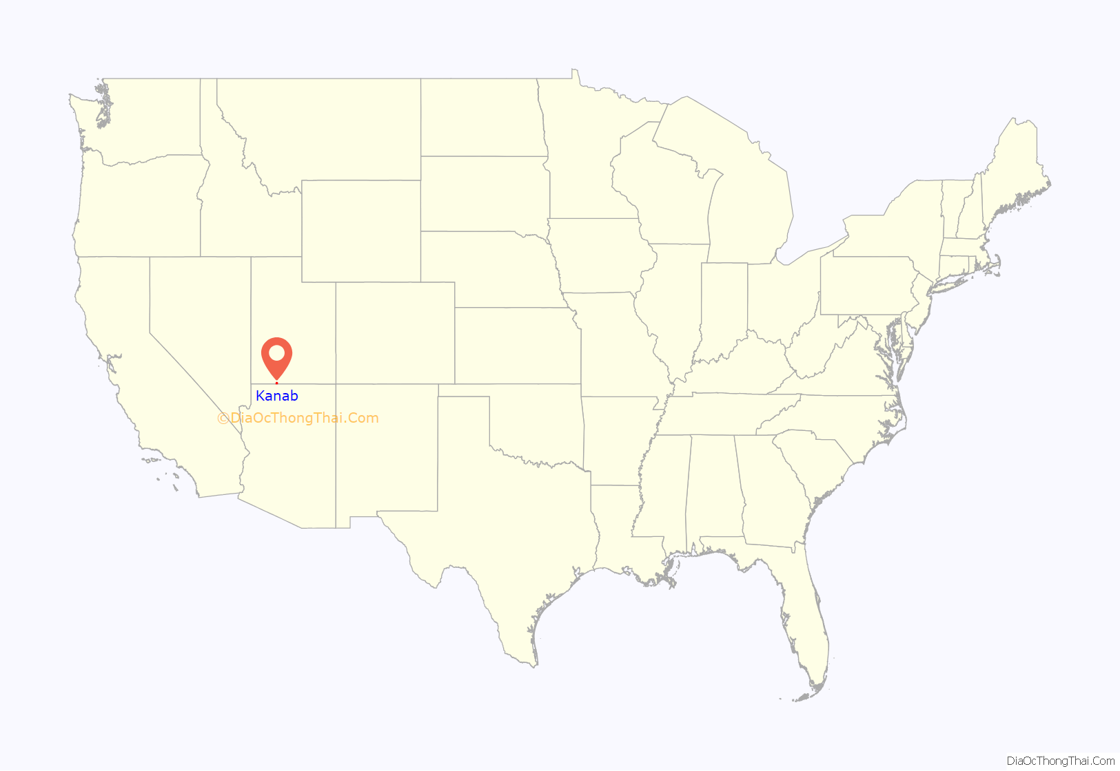
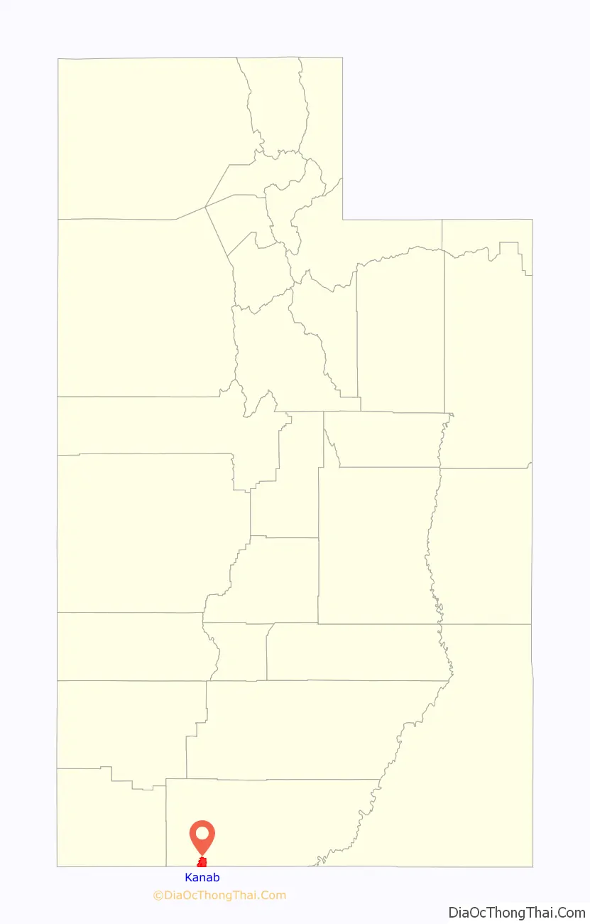
Kanab location map. Where is Kanab city?
Kanab Road Map

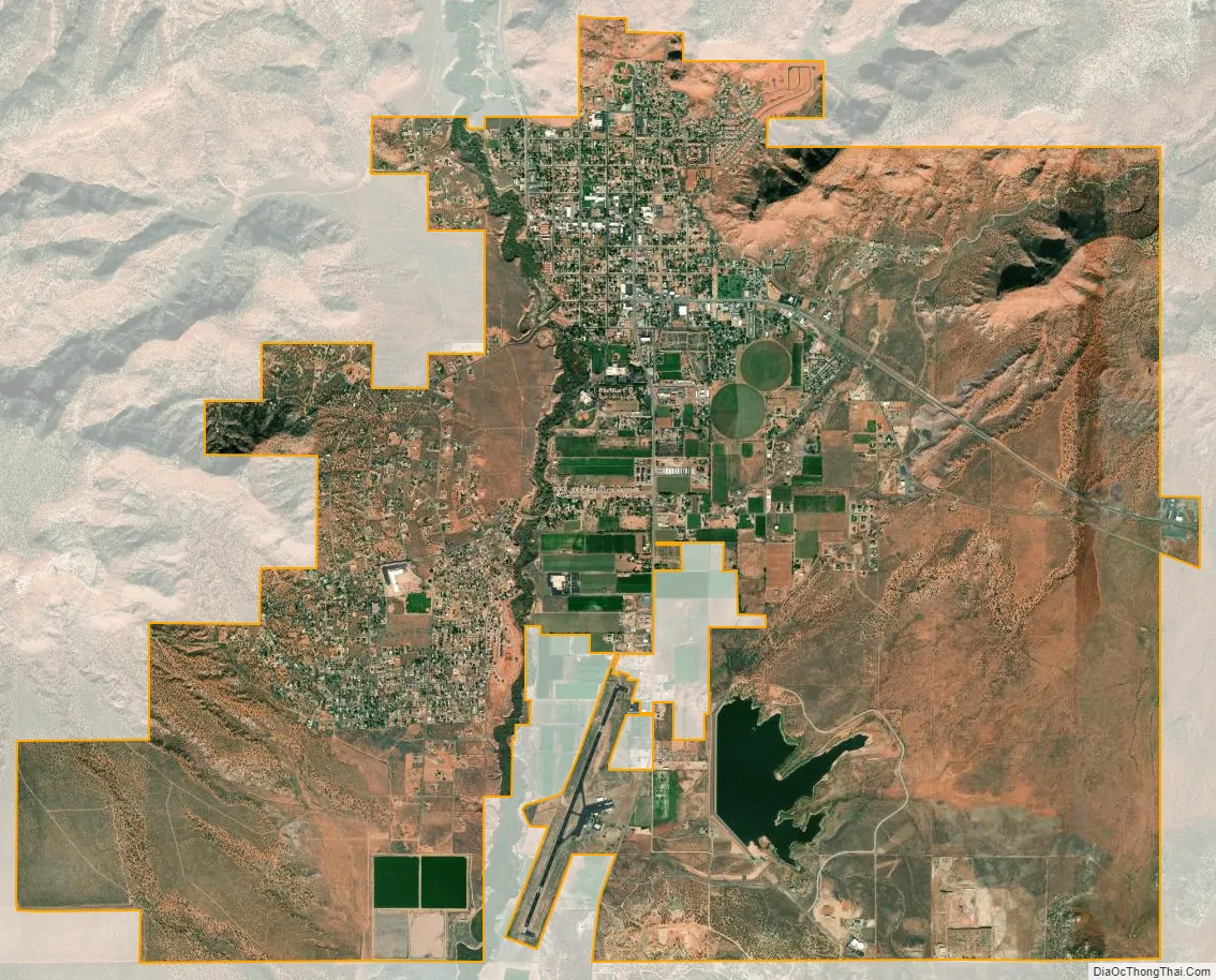
Kanab city Satellite Map
Geography
Kanab is located on the western Colorado Plateau. U.S. Routes 89 and 89A meet in the center of town. US 89 leads north 21 miles (34 km) to Orderville and southeast 74 miles (119 km) to Page, Arizona, while US 89A leads south 7 miles (11 km) to Fredonia, Arizona.
According to the United States Census Bureau, the city has a total area of 14.6 square miles (37.9 km), of which 0.03 square miles (0.09 km), or 0.24%, are water. The city’s downtown sits on flat ground to the east of Kanab Creek, which flows south to meet the Colorado River in the Grand Canyon.
Kanab has a borderline semi-arid climate (Köppen BSk), more typical of exposed regions around Arizona‘s Mogollon Rim. The town is rather wetter, especially during the winter months, and hotter than the typical Mountain West cool semi-arid climate. The dry spring season from April to June is warm to hot during the day and very clear but the hot sun and thin air typical of Utah mean that nights remain cool and frosts can occur even in May. In the summer, monsoon thunderstorms break up the dry weather between July and October. The winters are mild during the day and cold at night, but get more snow than most places in southern Utah. Snowfall varies a considerably from year to year, with some receiving almost none to 74.5 inches (189 cm) inches falling in 2001. On average, there will be 70.9 days that reach 90 °F (32 °C) and 7.6 that reach 100 °F (38 °C). Although Kanab is in hardiness zone of 7A with an average yearly low of just under 5 °F (−15 °C), only 1.5 days fail to reach freezing on average.
See also
Map of Utah State and its subdivision: Map of other states:- Alabama
- Alaska
- Arizona
- Arkansas
- California
- Colorado
- Connecticut
- Delaware
- District of Columbia
- Florida
- Georgia
- Hawaii
- Idaho
- Illinois
- Indiana
- Iowa
- Kansas
- Kentucky
- Louisiana
- Maine
- Maryland
- Massachusetts
- Michigan
- Minnesota
- Mississippi
- Missouri
- Montana
- Nebraska
- Nevada
- New Hampshire
- New Jersey
- New Mexico
- New York
- North Carolina
- North Dakota
- Ohio
- Oklahoma
- Oregon
- Pennsylvania
- Rhode Island
- South Carolina
- South Dakota
- Tennessee
- Texas
- Utah
- Vermont
- Virginia
- Washington
- West Virginia
- Wisconsin
- Wyoming