Knox County is a county in the U.S. state of Nebraska. As of the 2020 United States Census, the population was 8,391. Its county seat is Center. Knox County was named for Continental and U.S. Army Major General Henry Knox.
In the Nebraska license plate system, Knox County is represented by the prefix 12 (it had the 12th-largest number of vehicles registered in the county when the license plate system was established in 1922).
| Name: | Knox County |
|---|---|
| FIPS code: | 31-107 |
| State: | Nebraska |
| Founded: | 1857 |
| Named for: | Henry Knox |
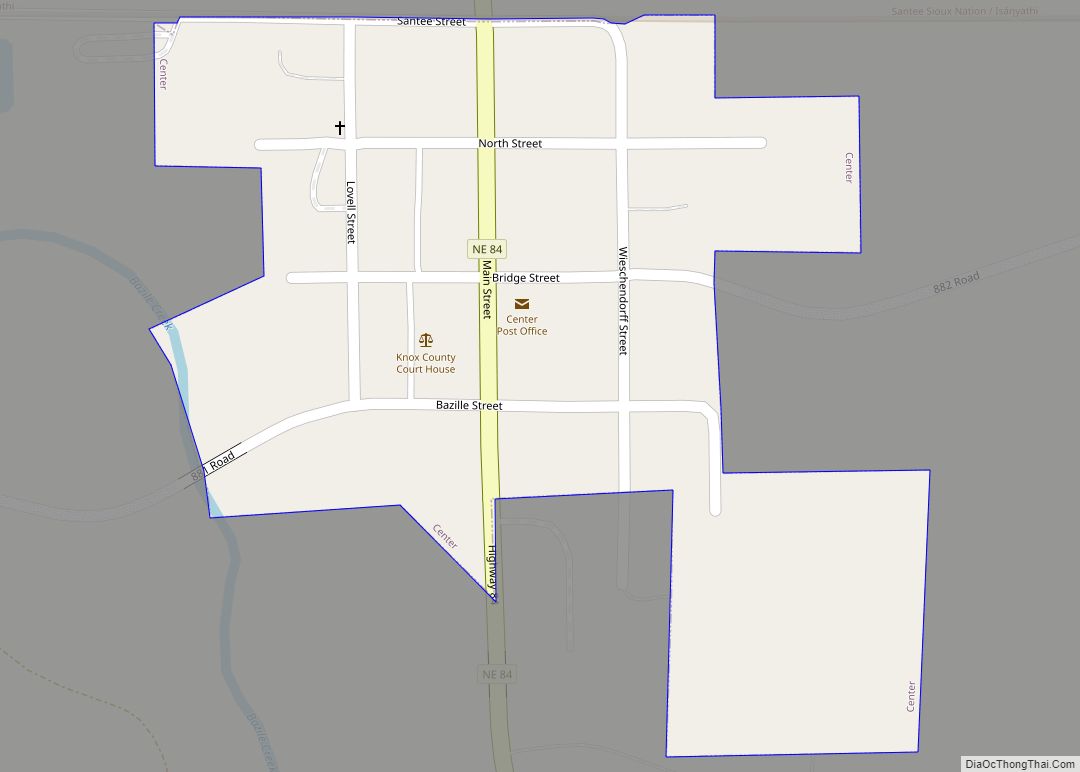
| Seat: | Center |
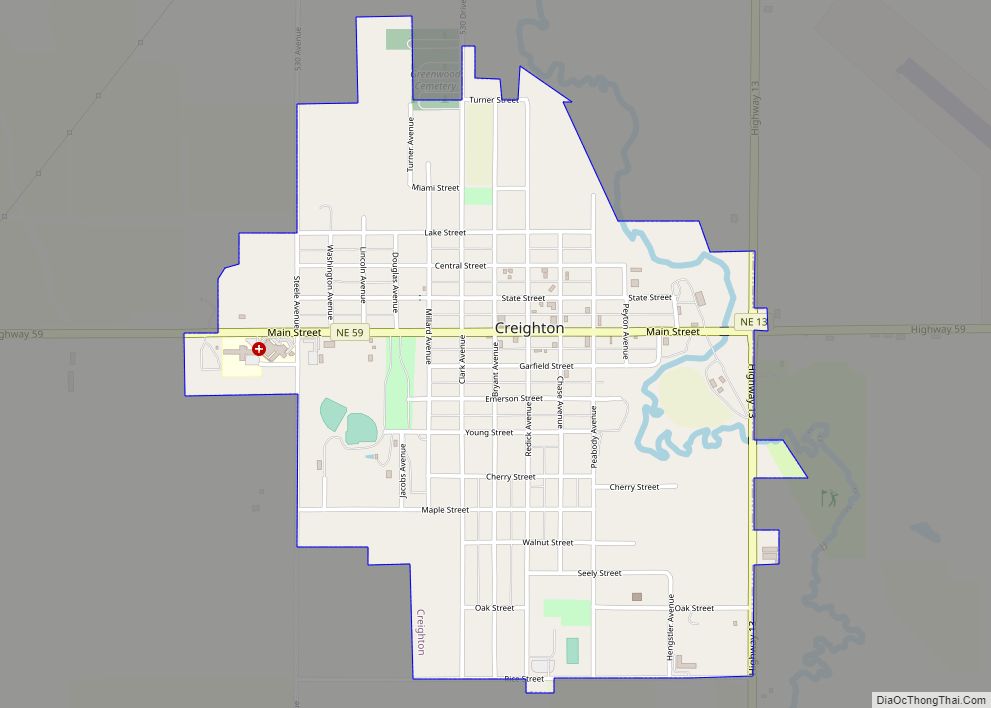
| Largest city: | Creighton |
| Total Area: | 1,140 sq mi (3,000 km²) |
| Land Area: | 1,108 sq mi (2,870 km²) |
| Total Population: | 8,401 |
| Population Density: | 7.6/sq mi (2.9/km²) |
| Time zone: | UTC−6 (Central) |
| Summer Time Zone (DST): | UTC−5 (CDT) |
| Website: | www.co.knox.ne.us |
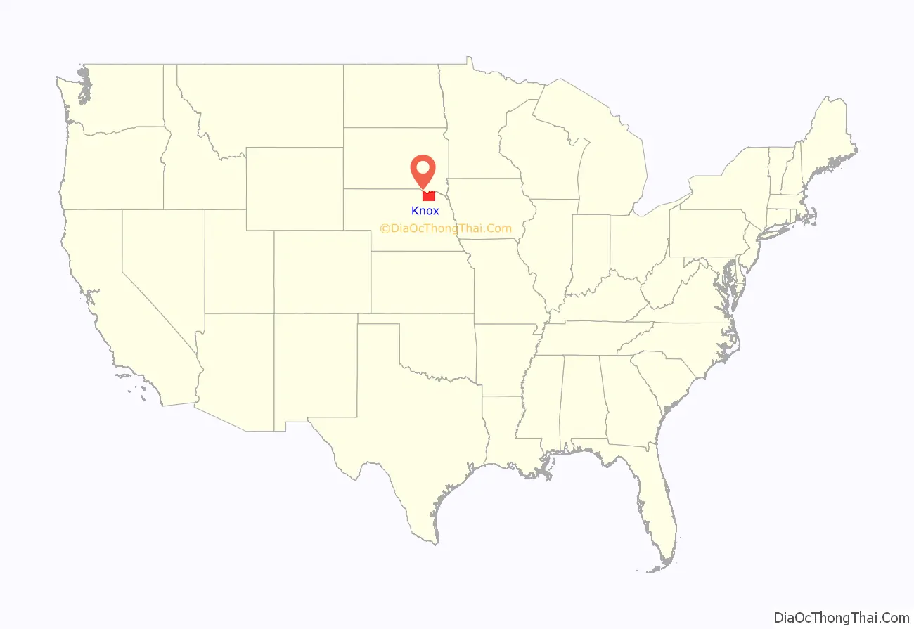
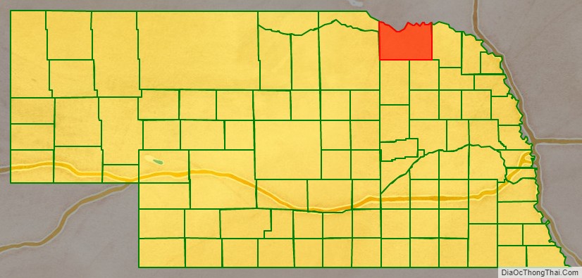
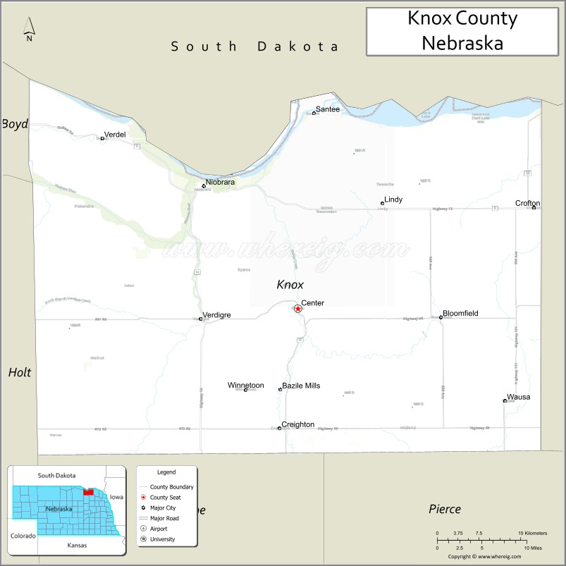
Knox County location map. Where is Knox County?
History
Knox County was organized by the Territorial Legislature in 1857, and named L’Eau Qui Court, that being the French name for the river named by the Ponca Niobrara—both names meaning, in English, Running Water. The name was changed to Knox by a statute passed February 21, 1873, which took effect April 1, 1873.
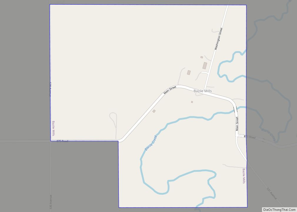
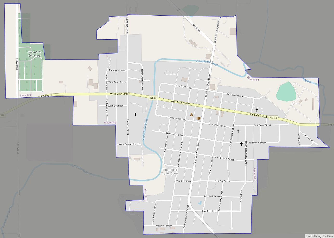
Knox County Road Map
Geography
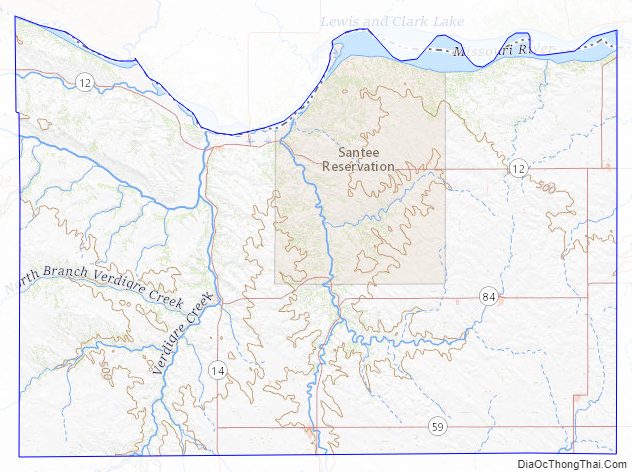
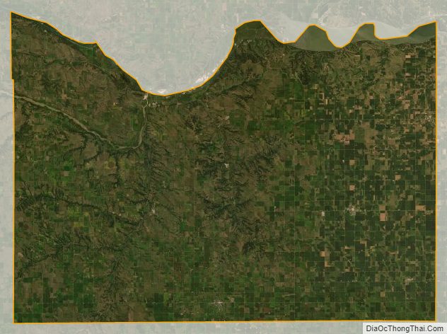
Knox County lies along the north line of Nebraska. Its north boundary line abuts the south boundary line of the state of South Dakota. The terrain of the county consists of low rolling hills sloped to the northeast; most of the flat terrain is used for agriculture. The Missouri River flows eastward along the county’s north boundary line. The Niobrara River enters the county’s west boundary, flowing eastward then northward to drain into the Missouri River near the village of Niobrara. A smaller drainage, Verdigre Creek, flows northward into the county through the western central part of the county, draining into the Niobrara River shortly upstream of that river’s mouth. The county has a total area of 1,140 square miles (3,000 km), of which 1,108 square miles (2,870 km) is land and 31 square miles (80 km) (2.8%) is water.
Major highways
- Nebraska Highway 12
- Nebraska Highway 13
- Nebraska Highway 14
- Nebraska Highway 59
- Nebraska Highway 84
- Nebraska Highway 121
Adjacent counties
- Bon Homme County, South Dakota – north
- Yankton County, South Dakota – northeast
- Cedar County – east
- Pierce County – southeast
- Antelope County – south
- Holt County – west
- Boyd County – northwest
- Charles Mix County, South Dakota – northwest
Protected areas
- Bazile Creek State Wildlife Management Area
- Bloomfield Recreation Area
- Deep Water Recreation Area
- Lewis and Clark Lake (part)
- Lewis and Clark State Recreation Area
- Miller Creek Recreation Area
- Missouri National Recreational River (part)
- Niobrara State Park
- South Shore Recreation Area
Knox County Topographic Map
Knox County Satellite Map
Knox County Outline Map