| Name: | Yankton County |
|---|---|
| FIPS code: | 46-135 |
| State: | South Dakota |
| Founded: | April 10, 1862 |
| Named for: | Yankton Sioux |
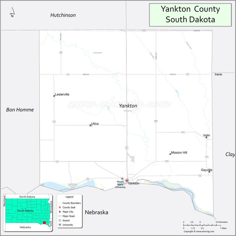
| Seat: | Yankton |
| Largest city: | Yankton |
| Total Area: | 532 sq mi (1,380 km²) |
| Land Area: | 521 sq mi (1,350 km²) |
| Total Population: | 23,310 |
| Population Density: | 44/sq mi (17/km²) |
| Time zone: | UTC−6 (Central) |
| Summer Time Zone (DST): | UTC−5 (CDT) |
| Website: | www.co.yankton.sd.us |
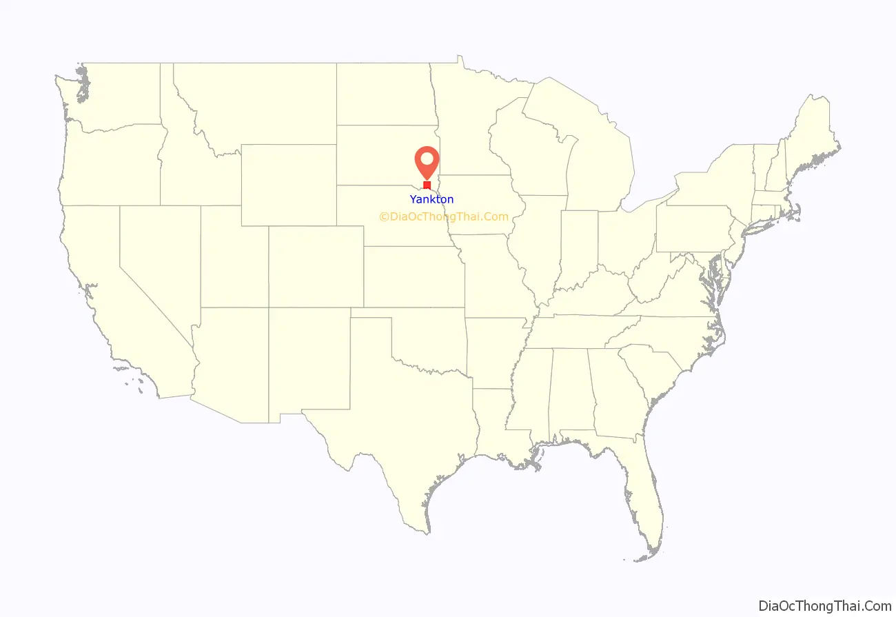
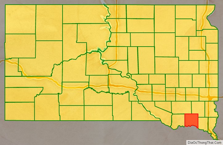
Yankton County location map. Where is Yankton County?
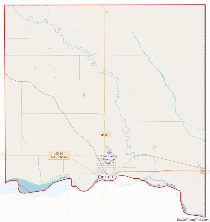
Yankton County Road Map
Geography
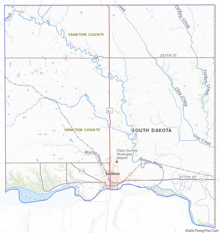
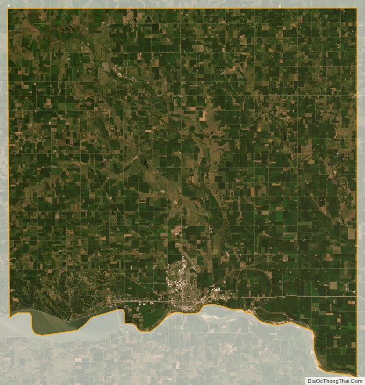
Yankton County lies on the south side of South Dakota. Its south boundary line abuts the north boundary line of the state of Nebraska (across the Missouri River). The Missouri flows eastward along the county’s south border. The James River flows south-southeastward through the west central portion of the county, discharging into the Missouri near the midpoint of the county’s south line. The county terrain consists of rolling hills, carved by creeks and drainages, hosting several lakes and ponds. The area is devoted to agriculture. The terrain slopes to the south and the east. Its highest point is 1,473′ (449m) ASL, on the eastern portion of its north boundary line. The county has a total area of 532 square miles (1,380 km), of which 521 square miles (1,350 km) is land and 11 square miles (28 km) (2.1%) is water.
Lewis & Clark Lake, a popular regional tourist and recreational destination is found in the southwestern part of the county.
Major highways
- U.S. Highway 81
- South Dakota Highway 46
- South Dakota Highway 50
- South Dakota Highway 52
- South Dakota Highway 153
- South Dakota Highway 314
Airports
- Chan Gurney Municipal Airport
Adjacent counties
- Turner County – northeast
- Clay County – east
- Cedar County, Nebraska – southeast
- Knox County, Nebraska – southwest
- Bon Homme County – west
- Hutchinson County – northwest
Protected areas
- Chief White Crane State Recreation Area
- Dakota Territorial Capitol Building/Riverside Park
- Diede Waterfowl Production Area
- Edelman Waterfowl Production Area
- Gavins Point National Fish Hatchery
- Hansen Waterfowl Production Area
- Lewis & Clark State Recreation Area
- Missouri National Recreational River (part)
- Pierson Ranch State Recreation Area
Lakes and Reservoirs
- Beaver Lake
- Guthmiller Lake
- Lake Yankton
- Lewis and Clark Lake (part)
- Marindahl Lake
Yankton County Topographic Map
Yankton County Satellite Map
Yankton County Outline Map