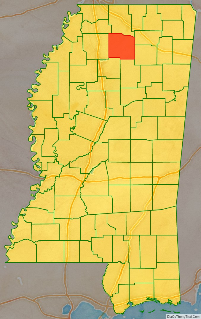
Lafayette County is a county in the U.S. state of Mississippi. At the 2020 census, the population was 55,813. Its county seat is Oxford. The local pronunciation of the name is “la-FAY-et.” The county’s name honors Marquis de Lafayette, a French military hero and American general who fought during the American Revolutionary War.
The Oxford, MS Micropolitan Statistical Area includes all of Lafayette County. The county is policed by the Lafayette County Sheriff’s Department.
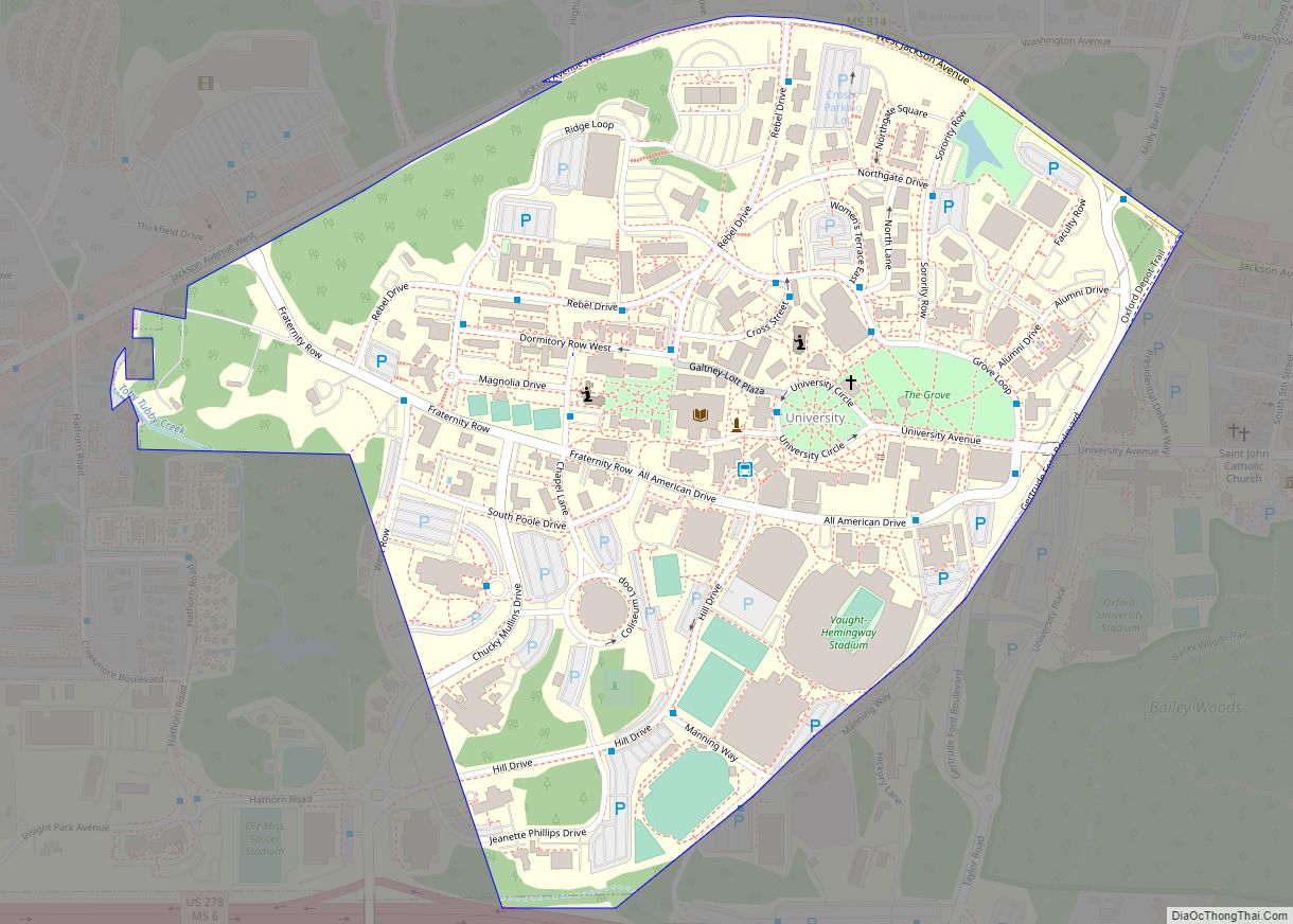
Lafayette County is often regarded as the inspiration for Yoknapatawpha County, the fictional setting of many of William Faulkner’s works.
| Name: | Lafayette County |
|---|---|
| FIPS code: | 28-071 |
| State: | Mississippi |
| Founded: | 1836 |
| Named for: | Marquis de Lafayette |
| Seat: | Oxford |
| Largest city: | Oxford |
| Total Area: | 679 sq mi (1,760 km²) |
| Land Area: | 632 sq mi (1,640 km²) |
| Total Population: | 55,813 |
| Population Density: | 82/sq mi (32/km²) |
| Time zone: | UTC−6 (Central) |
| Summer Time Zone (DST): | UTC−5 (CDT) |
| Website: | lafayettems.com |
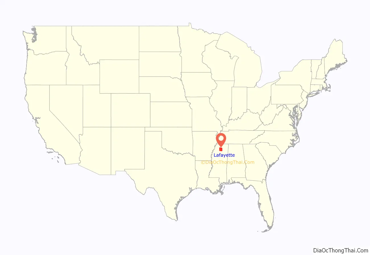
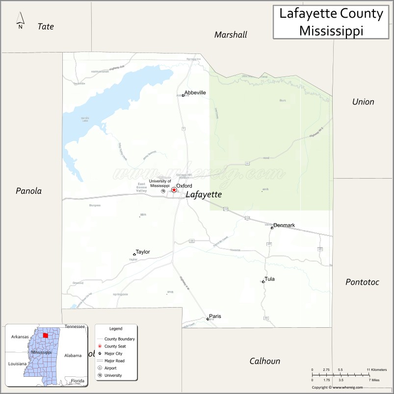
Lafayette County location map. Where is Lafayette County?
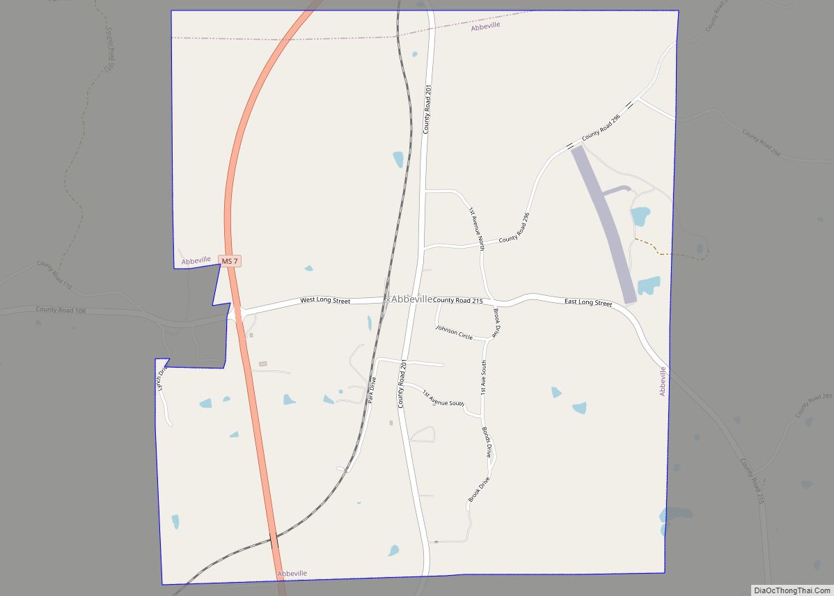
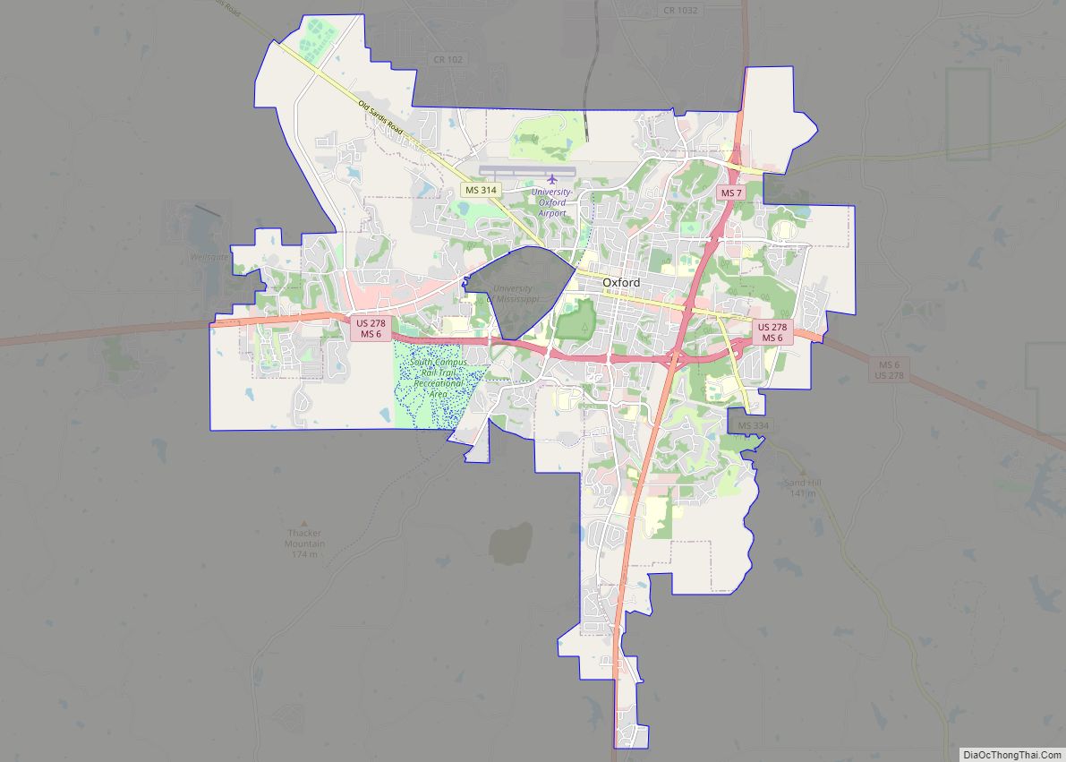
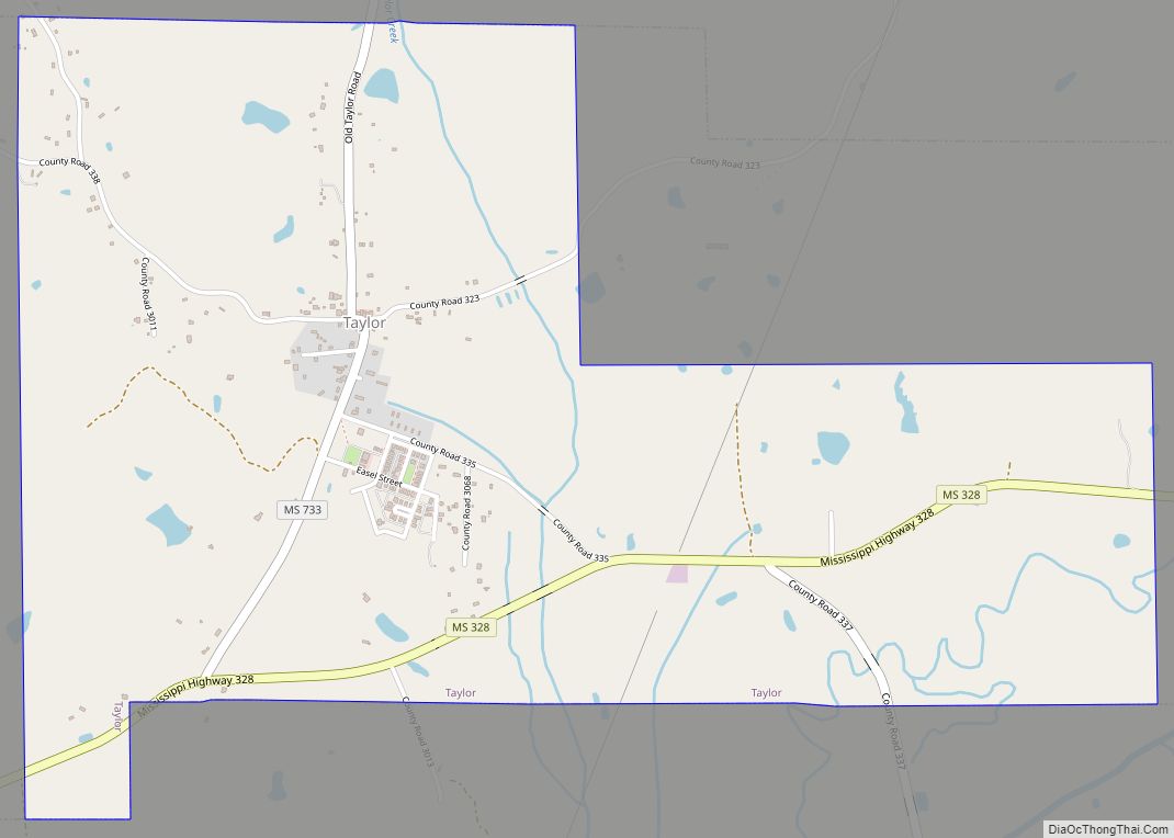
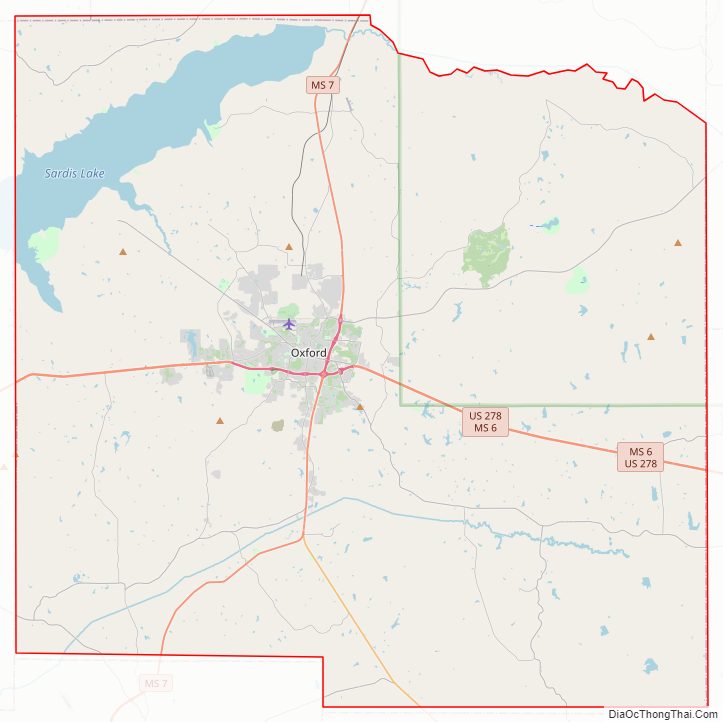
Lafayette County Road Map
Geography
According to the U.S. Census Bureau, the county has a total area of 679 square miles (1,760 km), of which 632 square miles (1,640 km) is land and 47 square miles (120 km) (7.0%) is water.
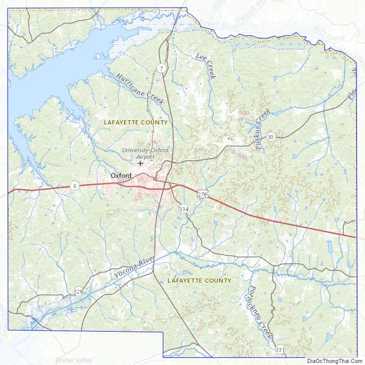
Major highways
- U.S. Route 278
- Mississippi Highway 6
- Mississippi Highway 7
- Mississippi Highway 9W
- Mississippi Highway 30
- Mississippi Highway 315
- Mississippi Highway 331
- Mississippi Highway 334
Adjacent counties
- Marshall County (north)
- Union County (northeast)
- Pontotoc County (southeast)
- Calhoun County (south)
- Yalobusha County (southwest)
- Panola County (west)
- Tate County (northwest)
National protected area
- Holly Springs National Forest (part)
Lafayette County Topographic Map
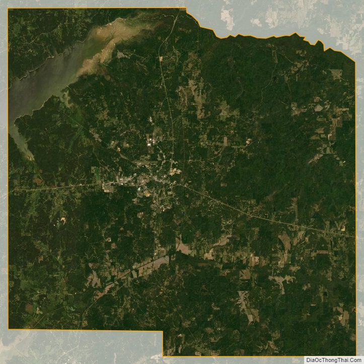
Lafayette County Satellite Map
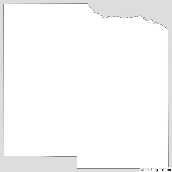
Lafayette County Outline Map