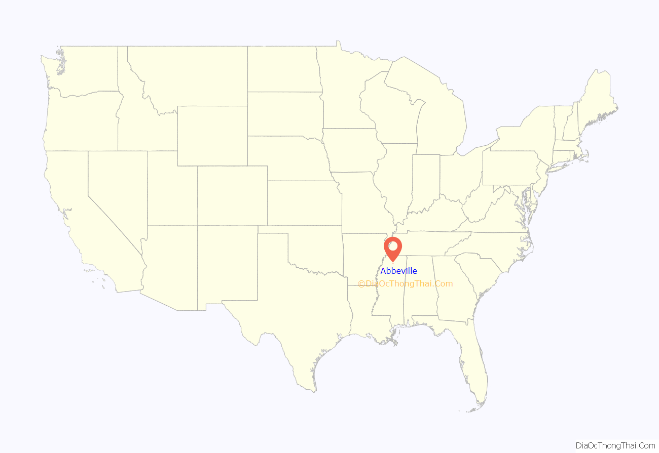
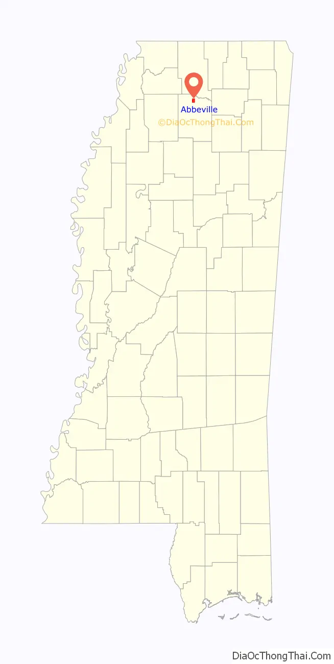
Abbeville is a town in Lafayette County, Mississippi. As of the 2020 census, the population was 372.
| Name: | Abbeville town |
|---|---|
| LSAD Code: | 43 |
| LSAD Description: | town (suffix) |
| State: | Mississippi |
| County: | Lafayette County |
| Elevation: | 371 ft (113 m) |
| Total Area: | 3.46 sq mi (8.96 km²) |
| Land Area: | 3.46 sq mi (8.96 km²) |
| Water Area: | 0.00 sq mi (0.00 km²) |
| Total Population: | 372 |
| Population Density: | 107.51/sq mi (41.52/km²) |
| ZIP code: | 38601 |
| Area code: | 662 |
| FIPS code: | 2800100 |
| GNISfeature ID: | 0691642 |
Online Interactive Map
Click on ![]() to view map in "full screen" mode.
to view map in "full screen" mode.
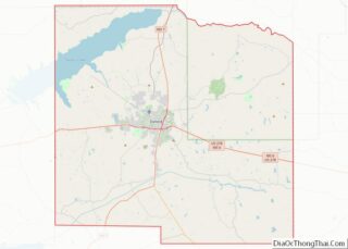
Abbeville location map. Where is Abbeville town?
History
Abbeville was originally settled by pioneers from Abbeville, South Carolina in the 1830s. They lived in apparent peace with the local Chickasaw Indians, whose Chief Toby Tubby owned and operated a ferry along the Memphis–Oxford trade route.
During the American Civil War, Abbeville was almost completely destroyed in the Vicksburg Campaign.
Abbeville post office was established September 28, 1843, with John B. Davis as first postmaster.
In 1950 Abbeville had a population of 275.
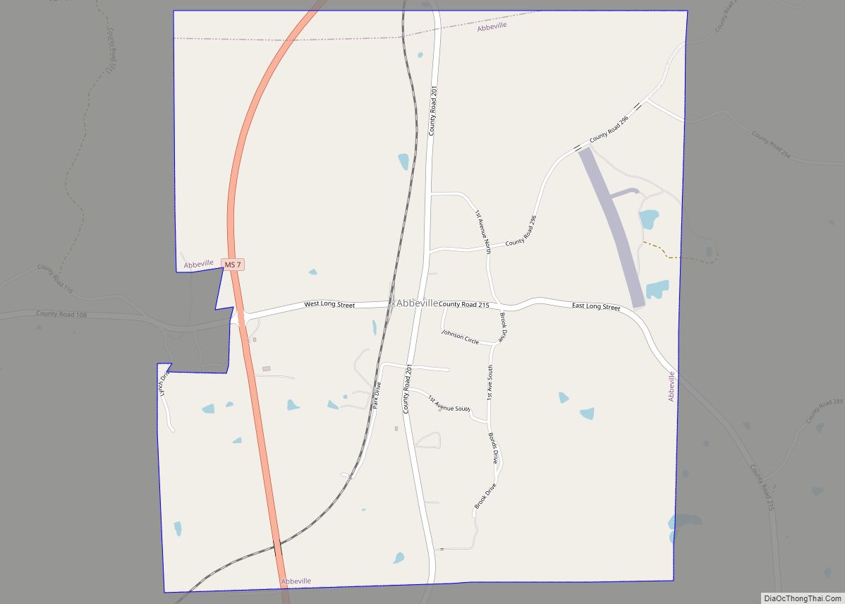
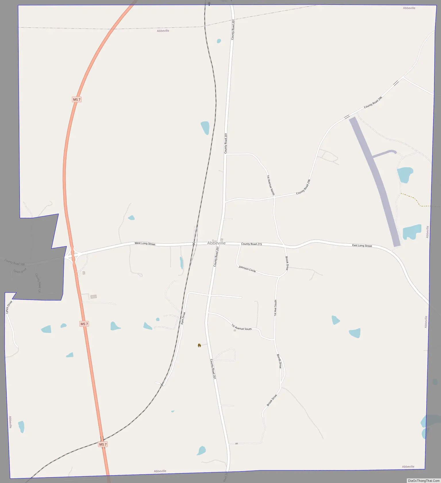
Abbeville Road Map
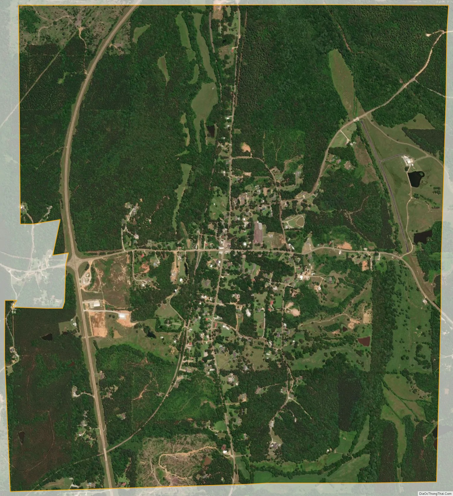
Abbeville city Satellite Map
Geography
According to the United States Census Bureau, the town has a total area of 3.5 square miles (9.1 km), all land.
Transportation
- Mississippi Highway 7
- Mississippi Central Railroad
See also
Map of Mississippi State and its subdivision:- Adams
- Alcorn
- Amite
- Attala
- Benton
- Bolivar
- Calhoun
- Carroll
- Chickasaw
- Choctaw
- Claiborne
- Clarke
- Clay
- Coahoma
- Copiah
- Covington
- Desoto
- Forrest
- Franklin
- George
- Greene
- Grenada
- Hancock
- Harrison
- Hinds
- Holmes
- Humphreys
- Issaquena
- Itawamba
- Jackson
- Jasper
- Jefferson
- Jefferson Davis
- Jones
- Kemper
- Lafayette
- Lamar
- Lauderdale
- Lawrence
- Leake
- Lee
- Leflore
- Lincoln
- Lowndes
- Madison
- Marion
- Marshall
- Monroe
- Montgomery
- Neshoba
- Newton
- Noxubee
- Oktibbeha
- Panola
- Pearl River
- Perry
- Pike
- Pontotoc
- Prentiss
- Quitman
- Rankin
- Scott
- Sharkey
- Simpson
- Smith
- Stone
- Sunflower
- Tallahatchie
- Tate
- Tippah
- Tishomingo
- Tunica
- Union
- Walthall
- Warren
- Washington
- Wayne
- Webster
- Wilkinson
- Winston
- Yalobusha
- Yazoo
- Alabama
- Alaska
- Arizona
- Arkansas
- California
- Colorado
- Connecticut
- Delaware
- District of Columbia
- Florida
- Georgia
- Hawaii
- Idaho
- Illinois
- Indiana
- Iowa
- Kansas
- Kentucky
- Louisiana
- Maine
- Maryland
- Massachusetts
- Michigan
- Minnesota
- Mississippi
- Missouri
- Montana
- Nebraska
- Nevada
- New Hampshire
- New Jersey
- New Mexico
- New York
- North Carolina
- North Dakota
- Ohio
- Oklahoma
- Oregon
- Pennsylvania
- Rhode Island
- South Carolina
- South Dakota
- Tennessee
- Texas
- Utah
- Vermont
- Virginia
- Washington
- West Virginia
- Wisconsin
- Wyoming