Lamoille County /ləˈmɔɪl/ is a county located in the U.S. state of Vermont. As of the 2020 census, the population was 25,945, and it is the third-least populous county in Vermont. Its shire town (county seat) is the town of Hyde Park, while Morristown is the county’s largest town by population as well as its main commercial center. The county was created in 1835 from portions of Orleans, Franklin, Washington, and Chittenden Counties and organized the following year.
| Name: | Lamoille County |
|---|---|
| FIPS code: | 50-015 |
| State: | Vermont |
| Founded: | 1836 |
| Named for: | Lamoille River |
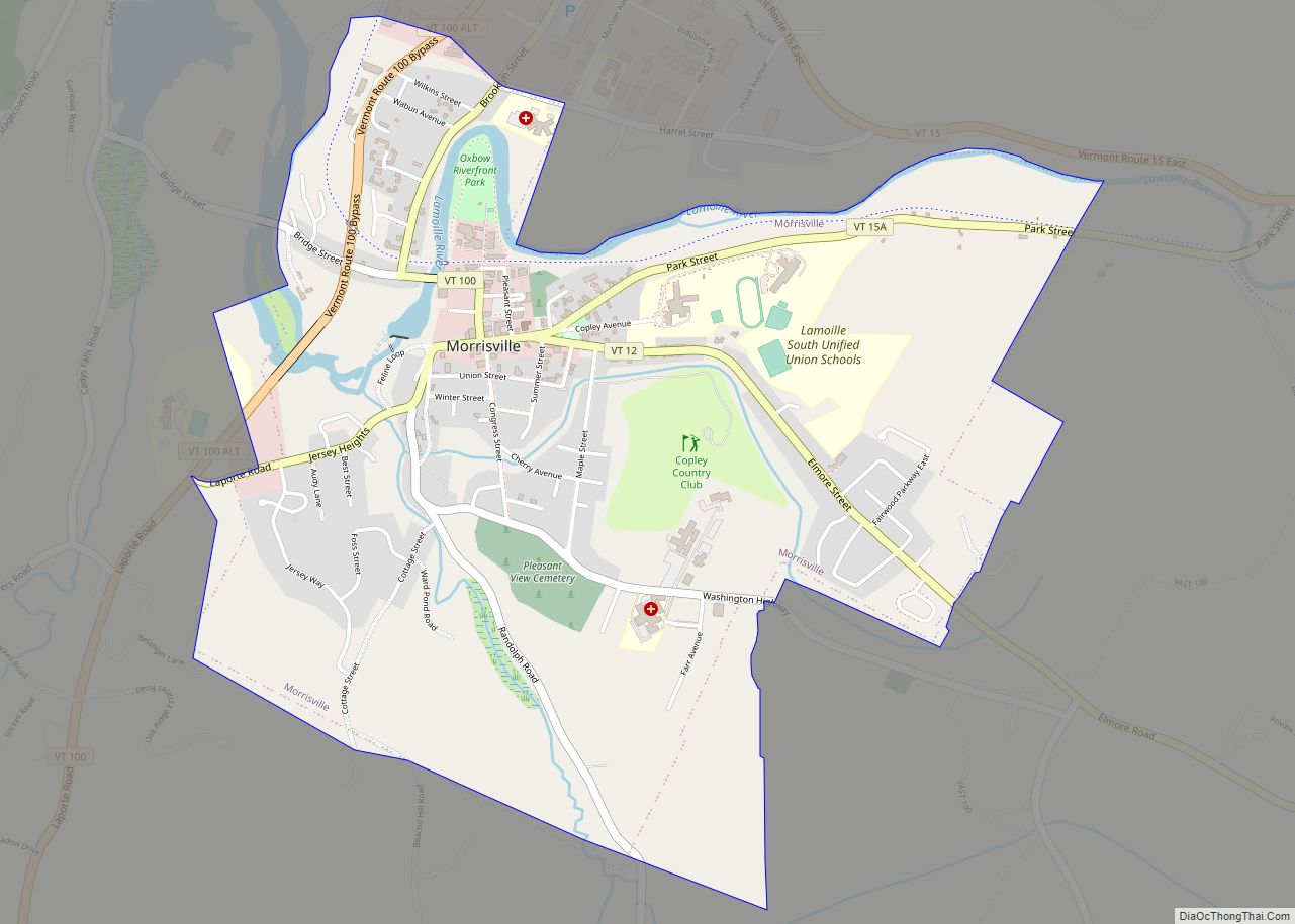
| Largest town: | Morristown |
| Total Area: | 464 sq mi (1,200 km²) |
| Land Area: | 459 sq mi (1,190 km²) |
| Total Population: | 25,945 |
| Population Density: | 56/sq mi (22/km²) |
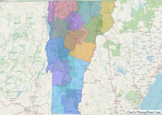
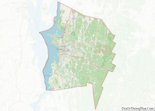
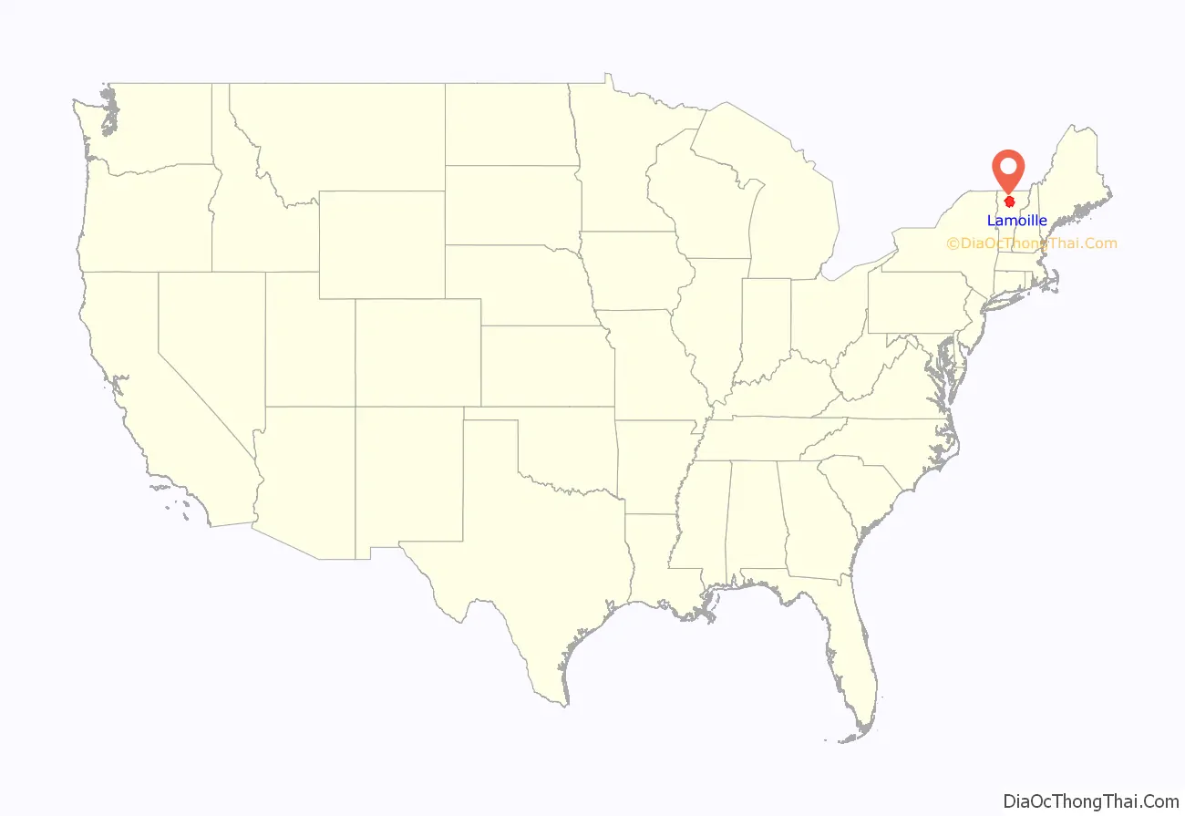
Lamoille County location map. Where is Lamoille County?
History
The area was buried in a mile of ice during the ice age. As the ice melted, Lake Stowe was formed. When the ice melted completely, the water from the lake ran out through the Lamoille River valley.
This area was long occupied by the Algonquian-speaking indigenous Abenaki people and their ancestors. During French colonization of what is now Canada, fur traders began to trade with the Abenaki. There were also French who settled here, coming down from the settlements in Quebec, and named the Lamoille River. The French later enlisted the Abenaki as allies in the frontier raiding and wars with English colonists in the lower New England colonies. For decades there was no border and peoples passed freely through this area.
After the American Revolutionary War and Vermont’s admission as a separate state, the county was settled in the 19th century by American migrants from other parts of New England and French-Canadian immigrants from across the border. Some developed small farms. Some came to work in the asbestos mine on Belvidere Mountain, which operated into the 20th century. Some gradually moved to other counties where there were cotton mills, weaving cotton from the South both before and after the Civil War. In the United States, many of the French immigrants were forced to accept anglicization of their names, such as New City for Villeneuve, or Senton for St. Onge. Some of their descendants have reclaimed their family’s original names.
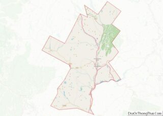
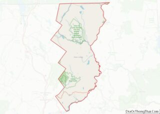
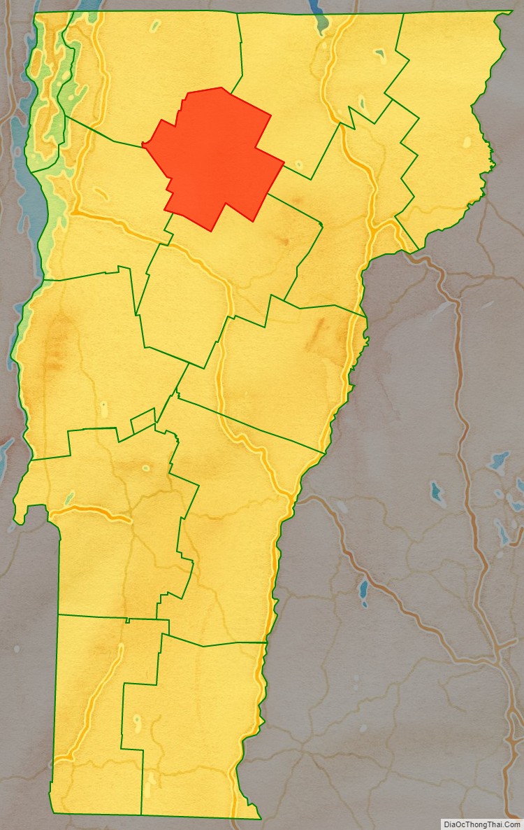
Lamoille County Road Map
Geography
According to the U.S. Census Bureau, the county has a total area of 464 square miles (1,200 km), of which 459 square miles (1,190 km) is land and 4.9 square miles (13 km) (1.1%) is water. It is the second-smallest county in Vermont by area, as well as one of only two Vermont counties that does not share a border with another state or with Quebec.
Lamoille County is the only county in Vermont that does not have at least one of Vermont’s five U.S. Routes passing through it, although all ten of the Lamoille County towns are served by Vermont state routes.
Adjacent counties
- Orleans County — northeast
- Caledonia County — east
- Washington County — south
- Chittenden County — west
- Franklin County — northwest
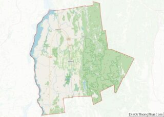
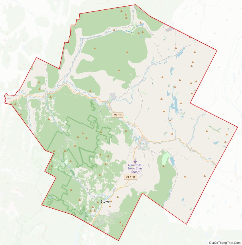
Lamoille County Topographic Map

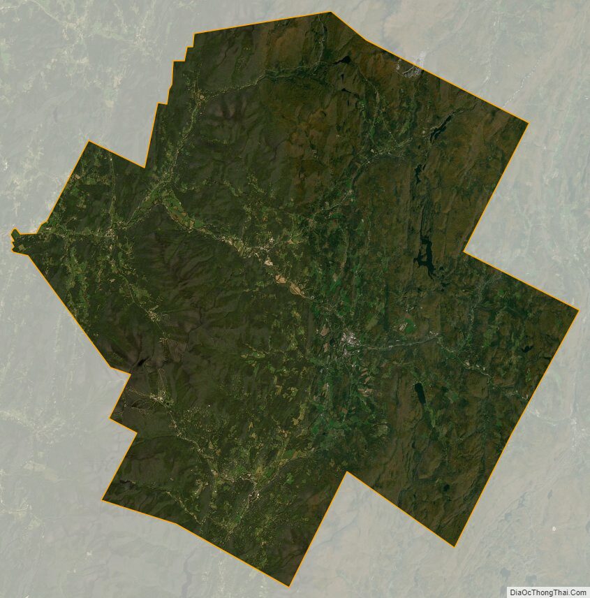
Lamoille County Satellite Map
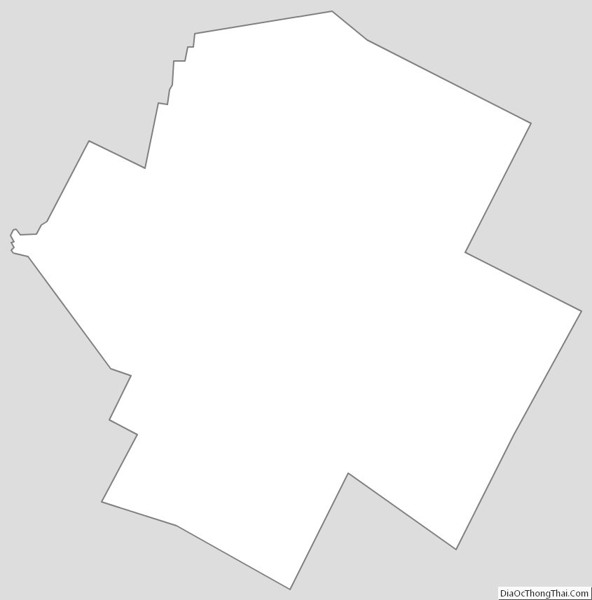
Lamoille County Outline Map