Washington County is a county located in the U.S. state of Vermont. Named after George Washington, its county seat is the city of Montpelier (the least populous state capital in the United States) and the most populous municipality is the city of Barre. As of the 2020 census, the population was 59,807, making it the third-most populous county in Vermont, but the third-least populous capital county in the United States after Hughes County, South Dakota and Franklin County, Kentucky. Washington County comprises the Barre, Vermont micropolitan statistical area. In 2010, the center of population of Vermont was located in Washington County, in the town of Warren.
| Name: | Washington County |
|---|---|
| FIPS code: | 50-023 |
| State: | Vermont |
| Founded: | 1811 |
| Named for: | George Washington |
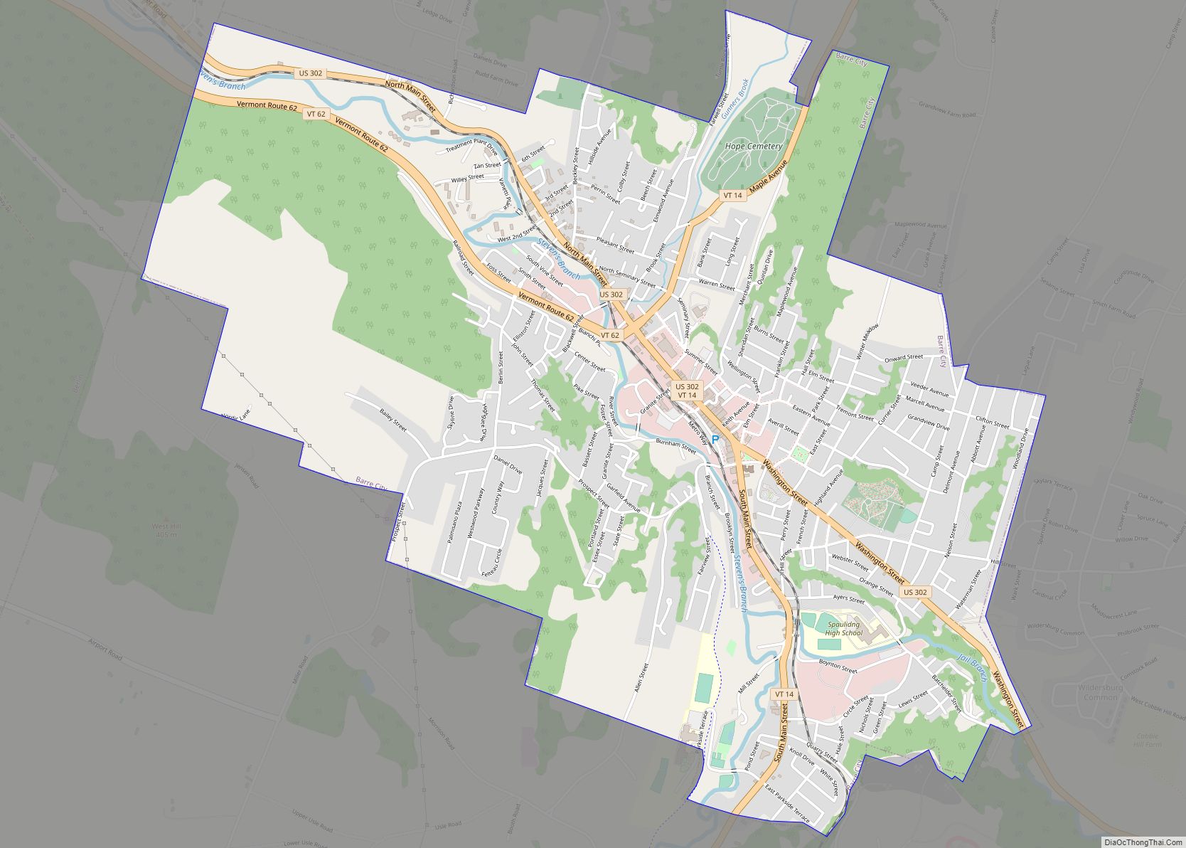
| Largest city: | Barre |
| Total Area: | 695 sq mi (1,800 km²) |
| Land Area: | 687 sq mi (1,780 km²) |
| Total Population: | 59,807 |
| Population Density: | 86/sq mi (33/km²) |
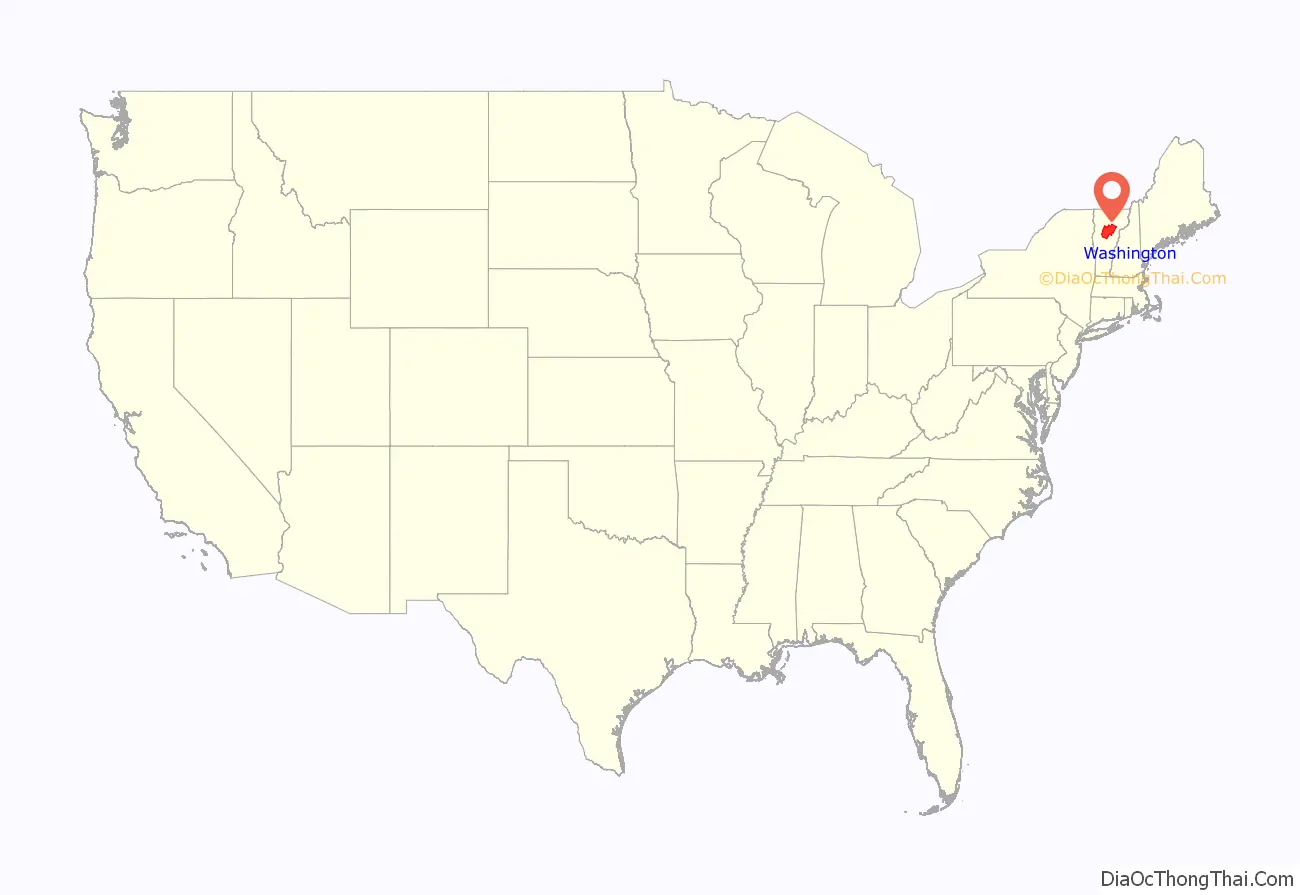
Washington County location map. Where is Washington County?
History
Washington County is one of several Vermont counties created from land ceded by the state of New York on January 15, 1777, when Vermont declared itself to be a distinct state from New York. The land originally was contested by Massachusetts, New Hampshire, and New Netherland, but it remained undelineated until July 20, 1764, when King George III established the boundary between New Hampshire and New York along the west bank of the Connecticut River, north of Massachusetts and south of the parallel of 45 degrees north latitude. New York assigned the land gained to Albany County. On March 12, 1772, Albany County was partitioned to create Charlotte County, and this situation remained until Vermont’s independence from New York and Britain.
Washington County was originally established as Jefferson County in 1810 from parts of Caledonia County, Chittenden County, and Orange County and organized the following year.
In 1814 it was renamed to Washington County. The name change occurred after the Federalists took control of the Vermont Legislature from the Jeffersonians. Vermont which conducted significant trade with British Canada had suffered particularly by passage of the Embargo Act of 1807 during the Jefferson administration.
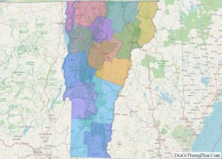
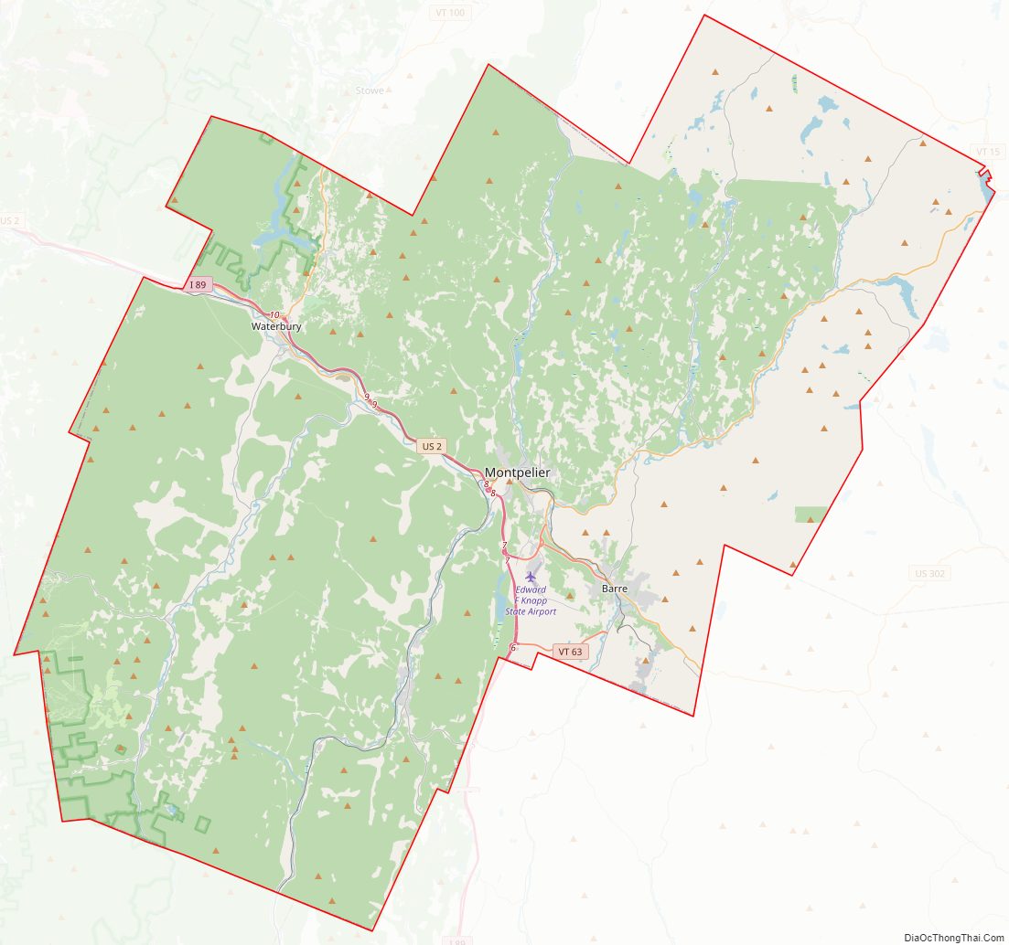
Washington County Road Map
Geography
According to the U.S. Census Bureau, the county has a total area of 695 square miles (1,800 km), of which 687 square miles (1,780 km) is land and 8.2 square miles (21 km) (1.2%) is water.
Major highways
- Interstate 89
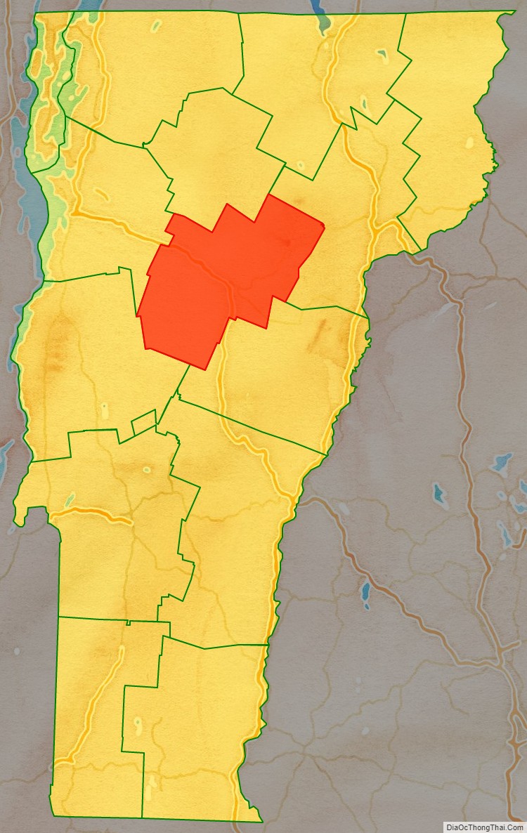
Adjacent counties
- Lamoille County – north
- Caledonia County – northeast
- Orange County – southeast
- Addison County – southwest
- Chittenden County – northwest
National protected area
- Green Mountain National Forest (part)
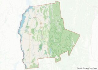
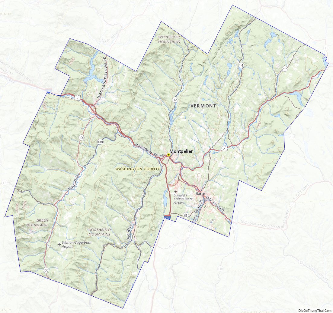
Washington County Topographic Map
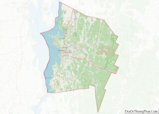
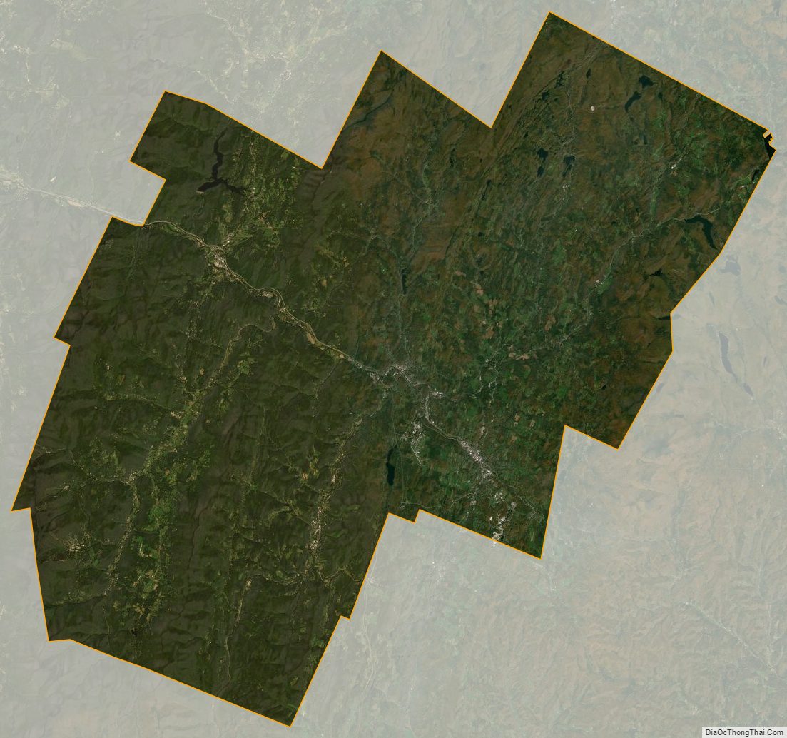
Washington County Satellite Map
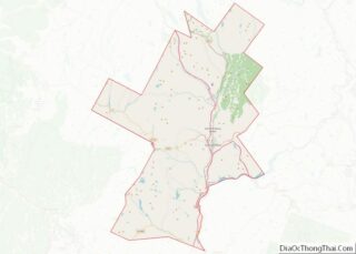
Washington County Outline Map