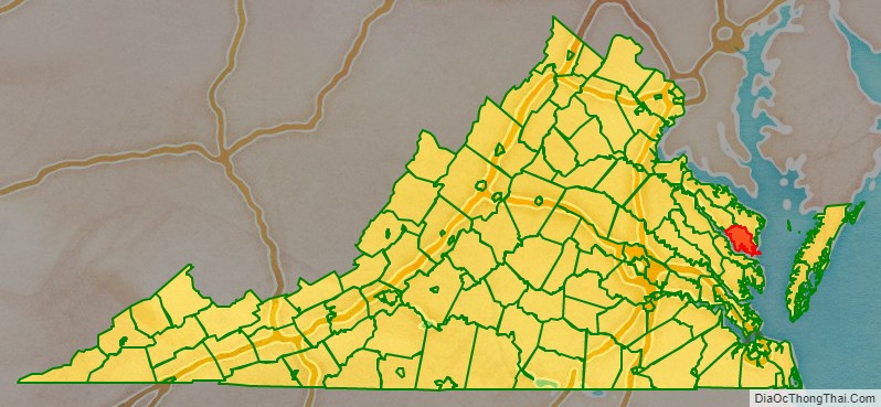
Lancaster County is a county located on the Northern Neck in the Commonwealth of Virginia. As of the 2020 census, the population sits at 10,919. Its county seat is Lancaster.
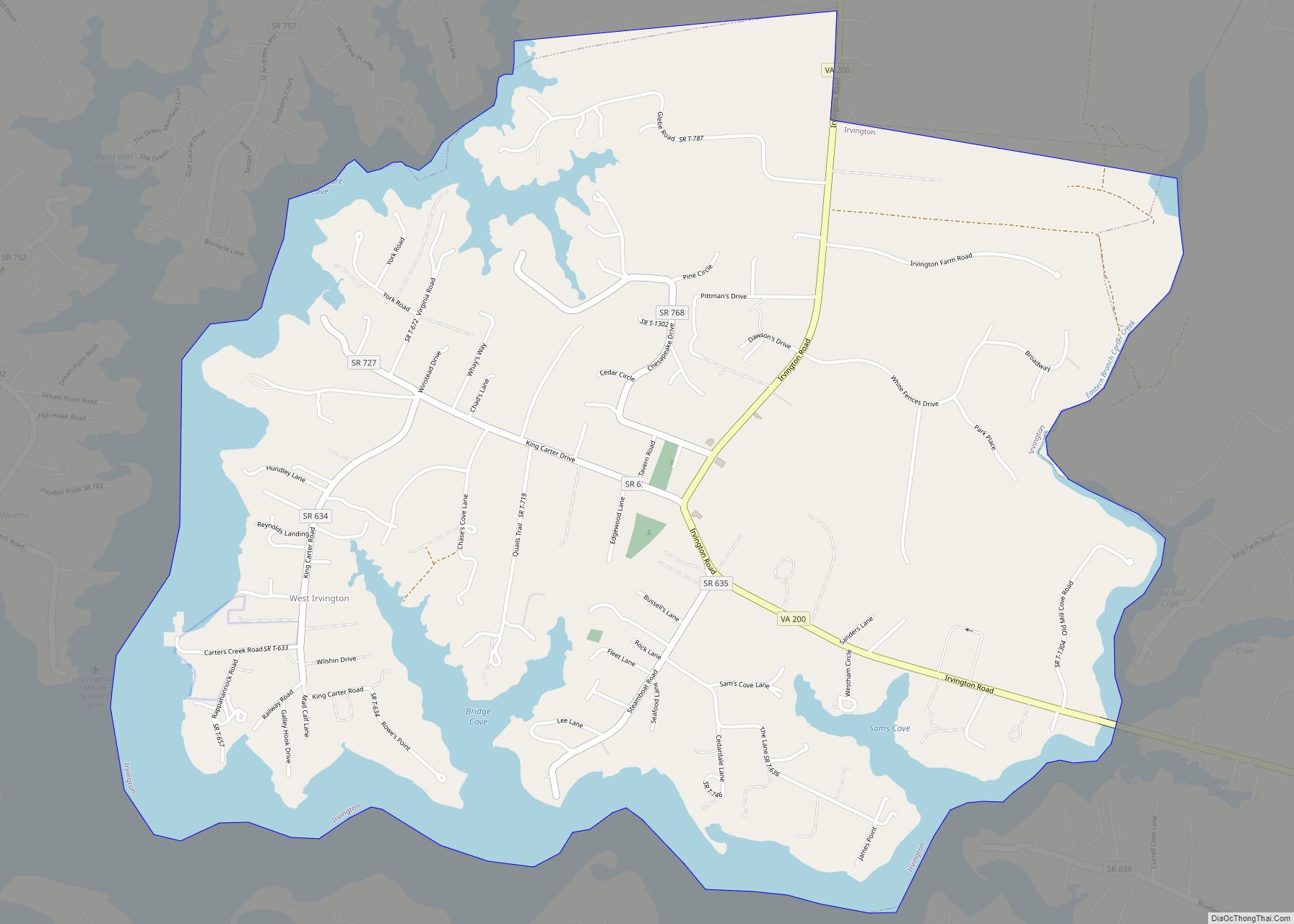
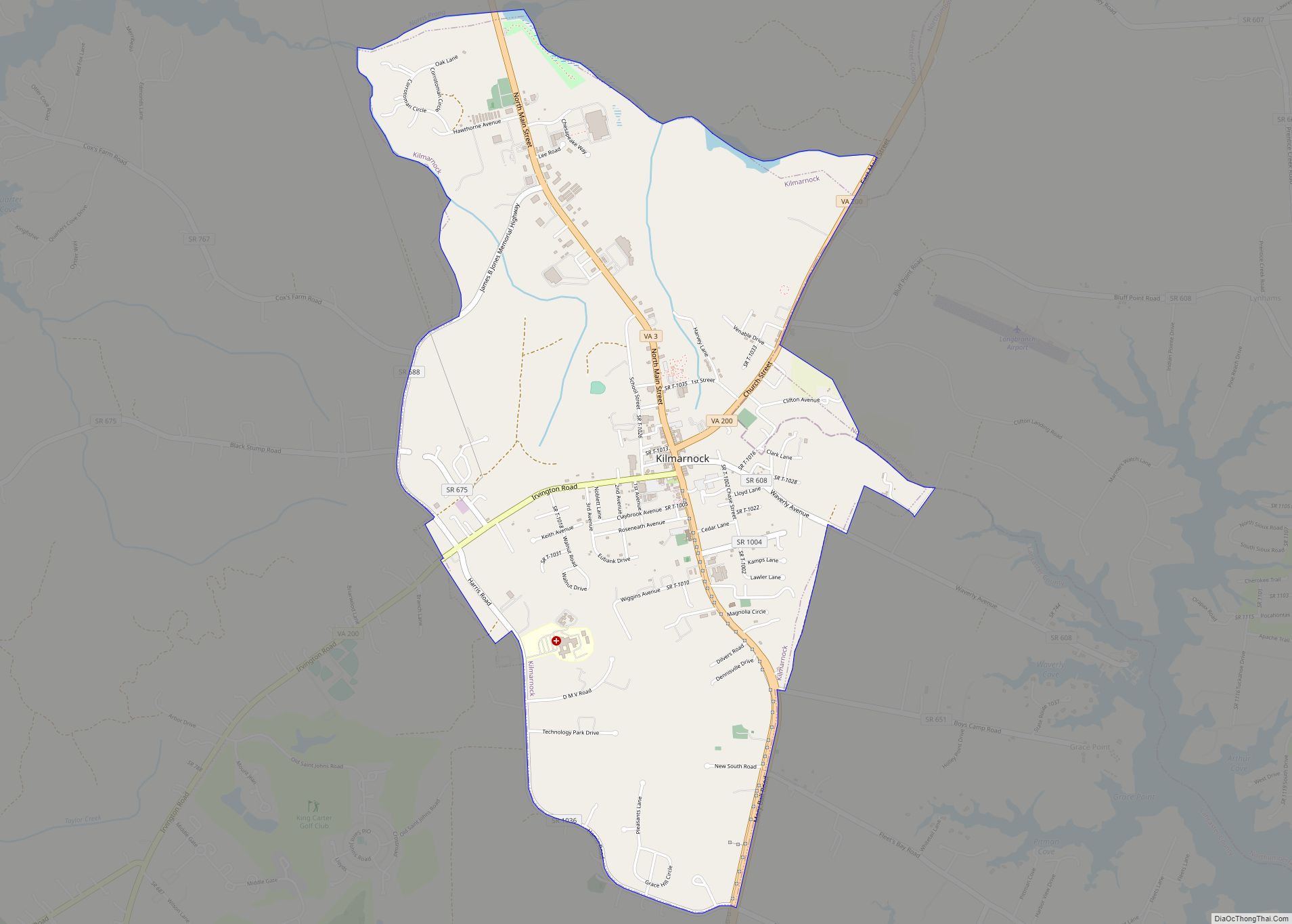
Located on the Northern Neck near the mouth of the Rappahannock River, Lancaster County is part of the Northern Neck George Washington Birthplace wine-growing region recognized by the United States as an American Viticultural Area. Lancaster County is the most densely populated county in the Northern Neck. The largest town in Lancaster County is Kilmarnock, Virginia. The county’s area code is 804.
| Name: | Lancaster County |
|---|---|
| FIPS code: | 51-103 |
| State: | Virginia |
| Founded: | 1651 |
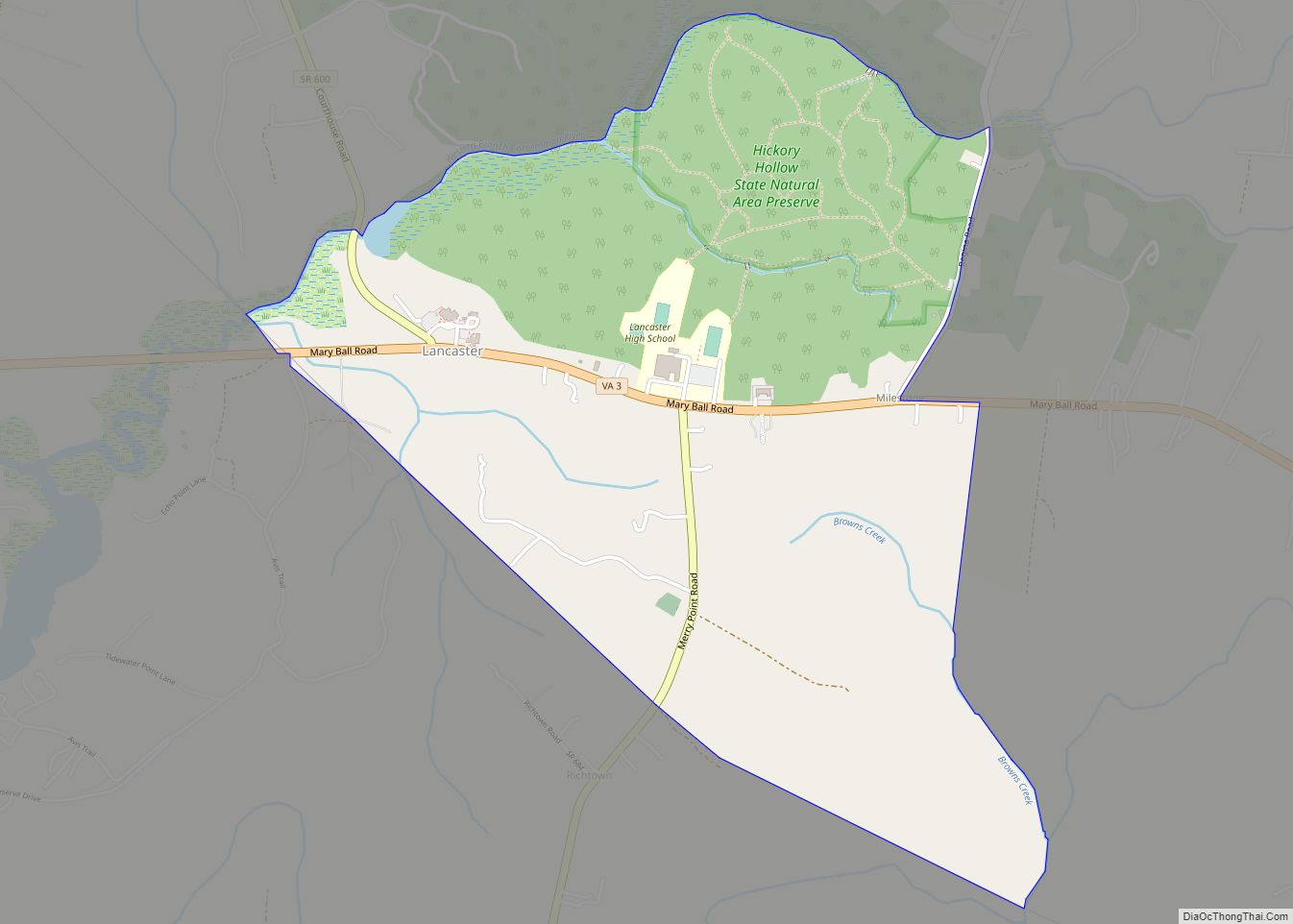
| Seat: | Lancaster |
| Largest town: | Kilmarnock |
| Total Area: | 231 sq mi (600 km²) |
| Land Area: | 133 sq mi (340 km²) |
| Total Population: | 10,919 |
| Population Density: | 47/sq mi (18/km²) |
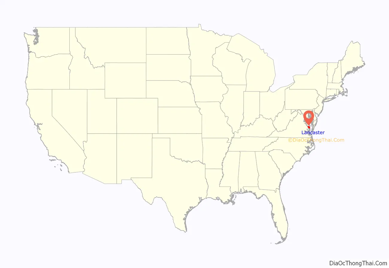
Lancaster County location map. Where is Lancaster County?
History
Lancaster County was established in 1651 from Northumberland and York counties. It was home to Robert King Carter in the 18th century, and remaining buildings from that time include Christ Church and St. Mary’s, Whitechapel. Other historic attractions open to the public include the Lancaster Courthouse Historic District including the Mary Ball Washington Museum and Library, Belle Isle State Park, and the Village of Morattico Historic District.
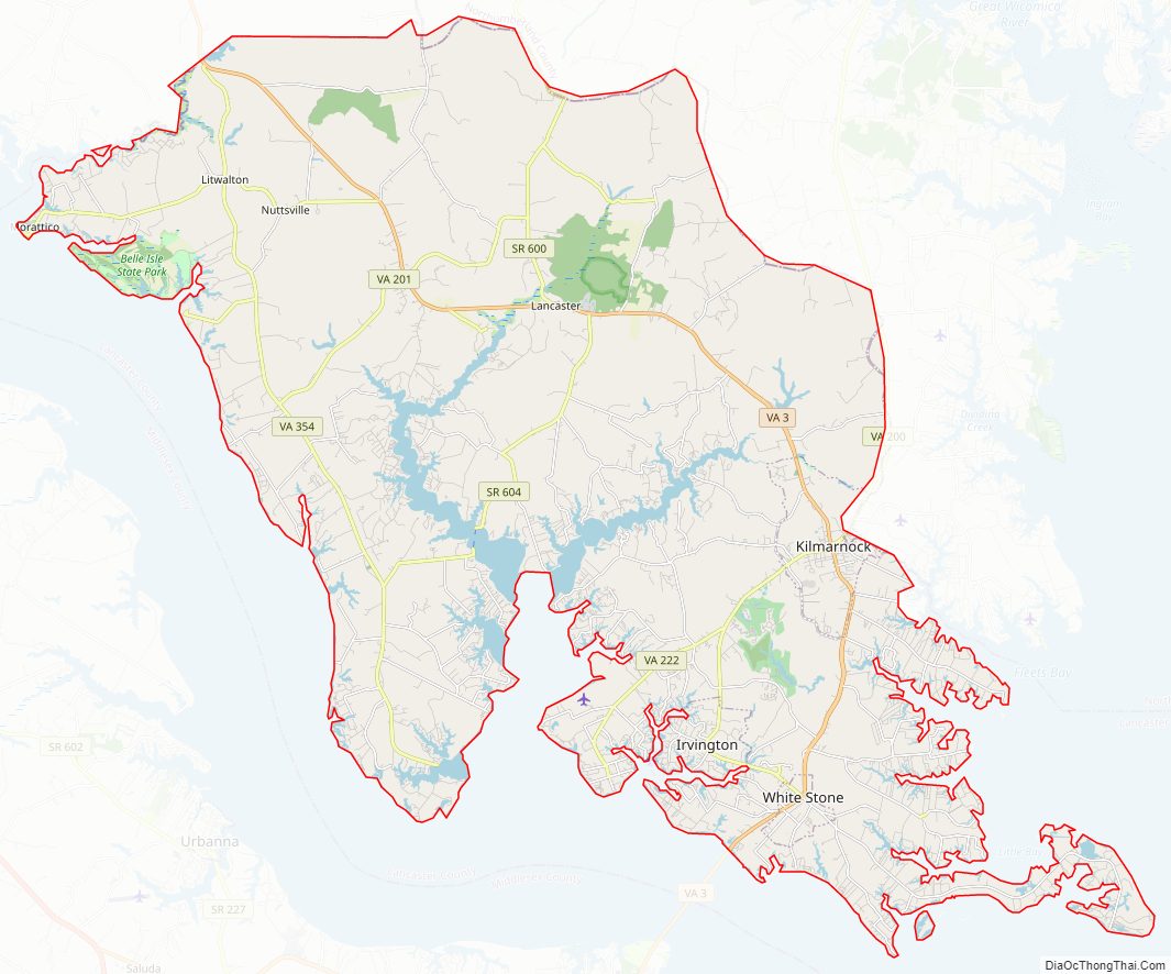
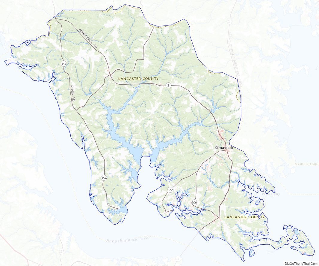
Lancaster County Road Map
Geography
According to the U.S. Census Bureau, the county has a total area of 231 square miles (600 km), of which 133 square miles (340 km) is land and 98 square miles (250 km) (42.4%) is water.
Adjacent counties
- Richmond County – northwest
- Northumberland County – north
- Middlesex County – south and southwest
Major highways
- SR 3
- SR 200
- SR 201
- SR 222
- SR 354
Lancaster County Topographic Map
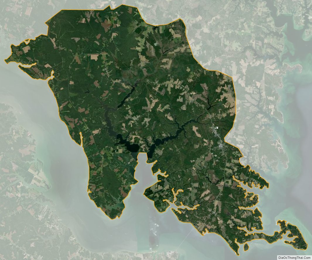
Lancaster County Satellite Map
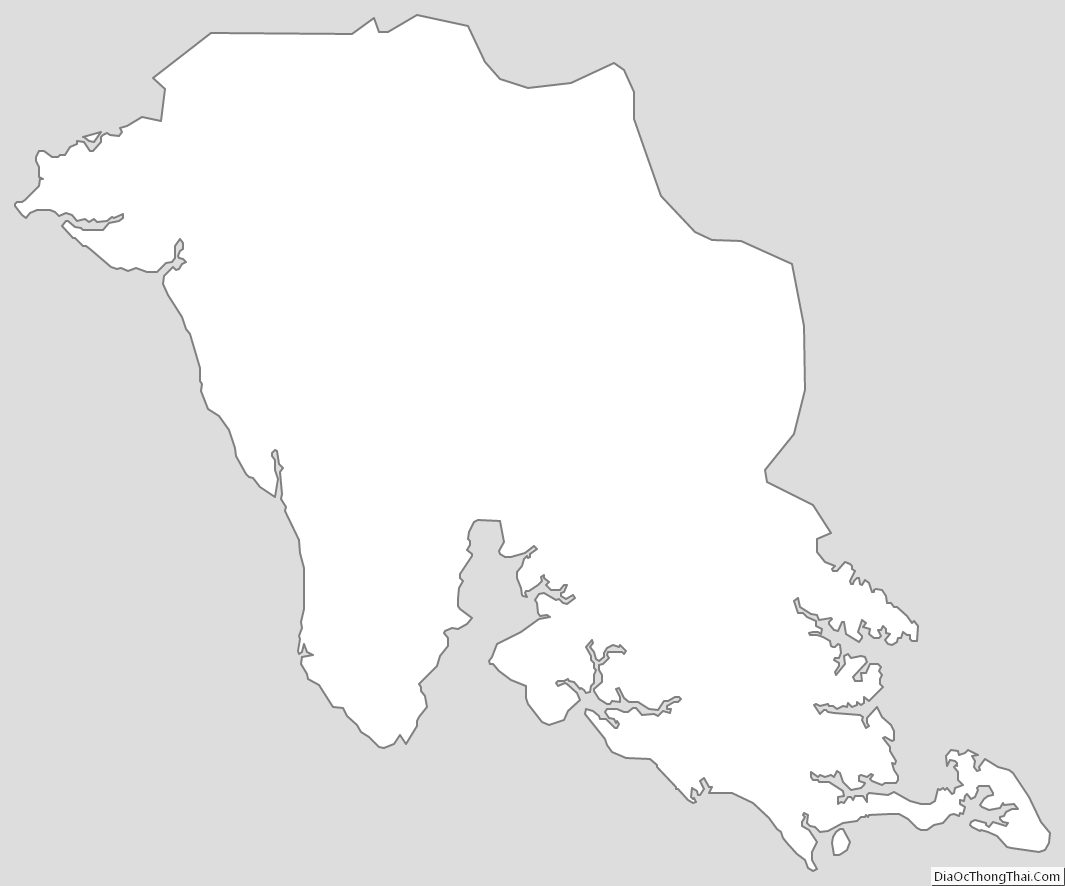
Lancaster County Outline Map