Laurens County is a county located in the U.S. state of South Carolina. As of the 2020 census, its population was 67,539. Its county seat is Laurens.
Laurens County is included in the Greenville-Anderson-Mauldin, SC Metropolitan Statistical Area.
| Name: | Laurens County |
|---|---|
| FIPS code: | 45-059 |
| State: | South Carolina |
| Founded: | 1785 |
| Named for: | Henry Laurens |
| Seat: | Laurens |
| Largest city: | Laurens |
| Total Area: | 724 sq mi (1,880 km²) |
| Land Area: | 714 sq mi (1,850 km²) |
| Total Population: | 67,539 |
| Population Density: | 93/sq mi (36/km²) |
| Time zone: | UTC−5 (Eastern) |
| Summer Time Zone (DST): | UTC−4 (EDT) |
| Website: | laurenscounty.us |
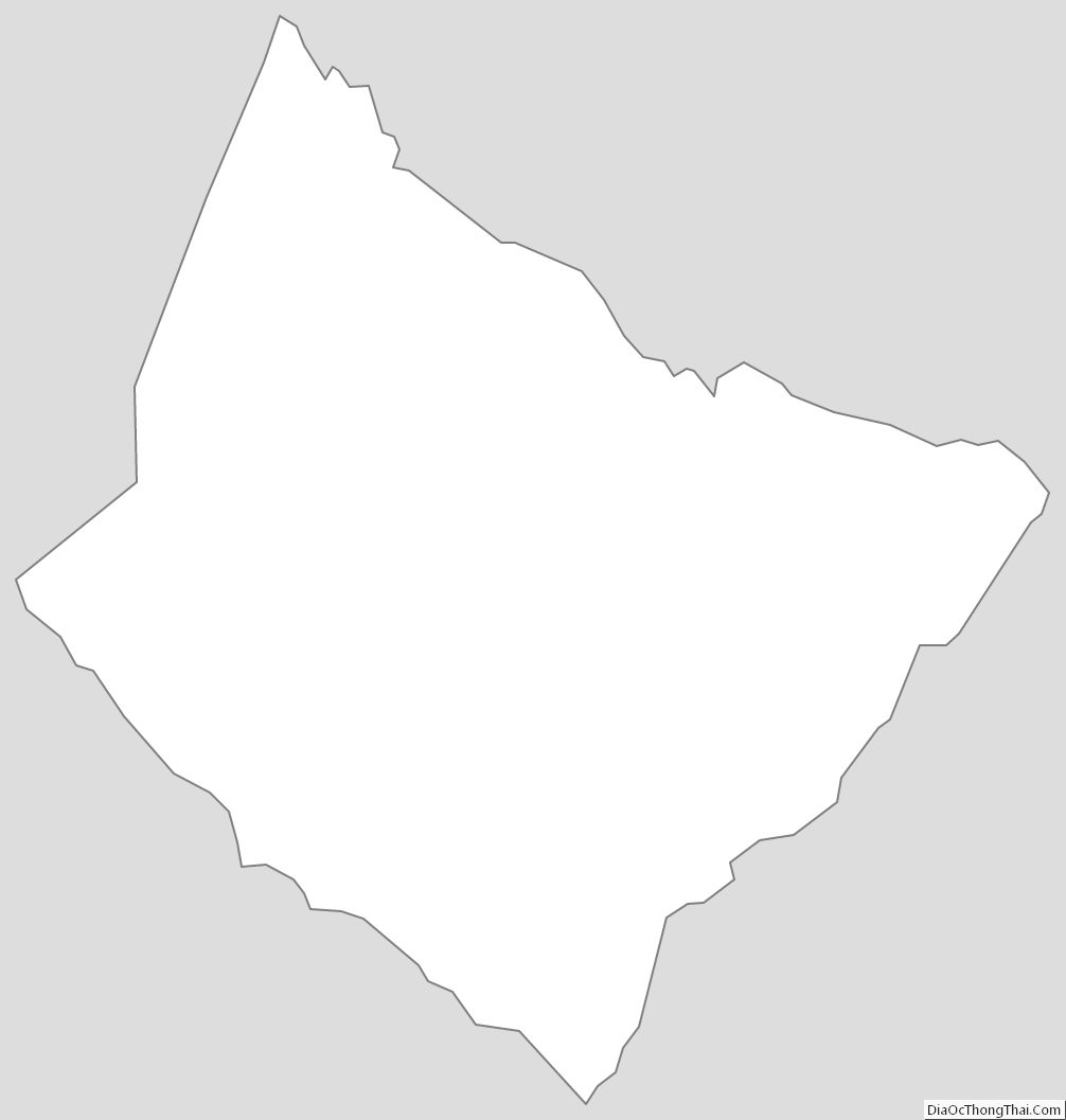
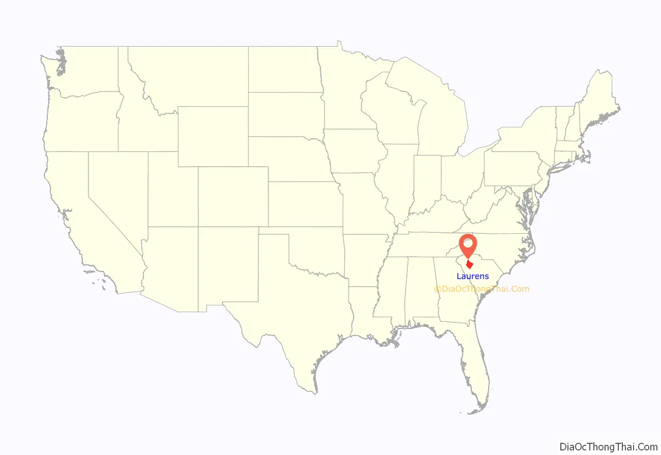
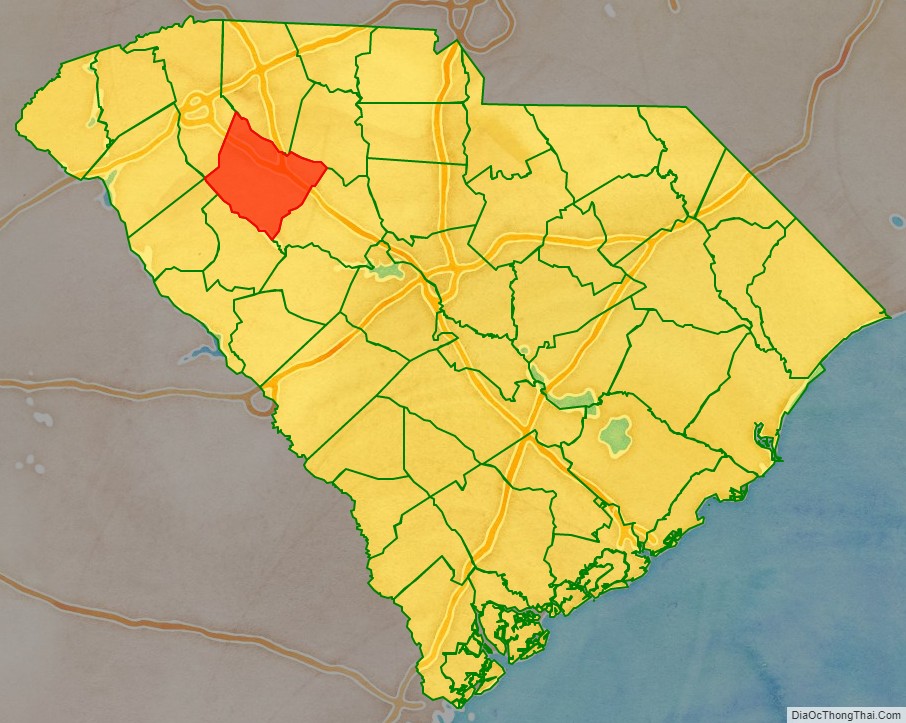
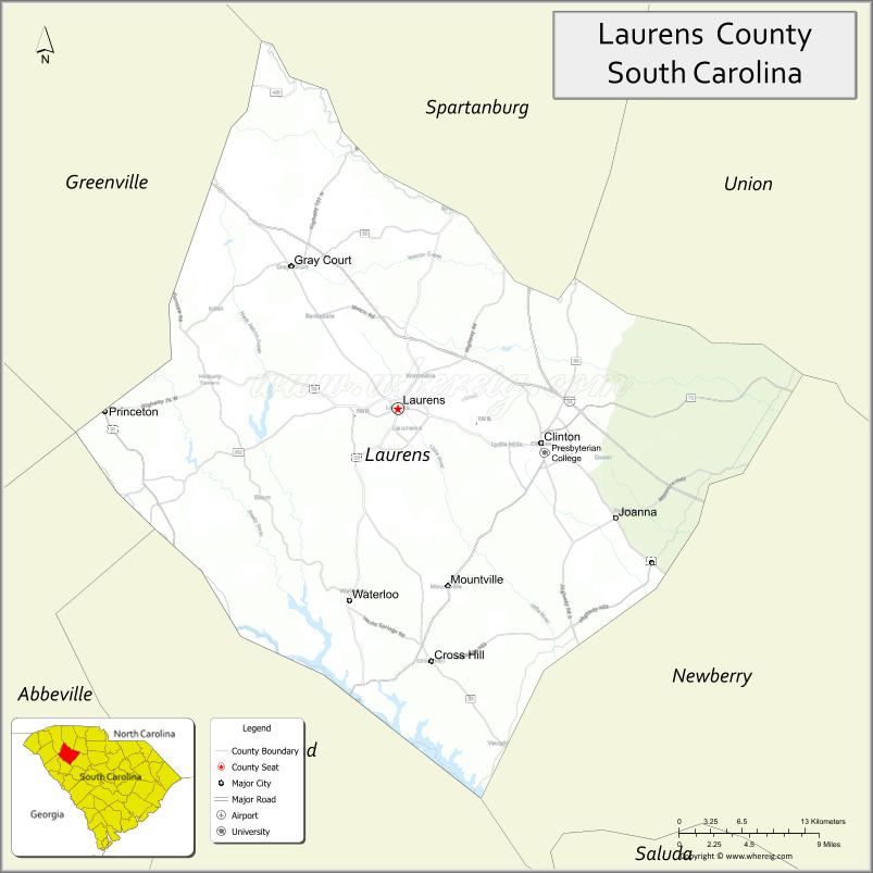
Laurens County location map. Where is Laurens County?
History
Laurens County was formed on March 12, 1785. It was named after Henry Laurens, the fifth president of the Continental Congress.
One of nine modern counties of the Colonial Ninety-Six District, Laurens County hosted more “official” (i.e. officially recognized and contemporaneously documented by competent governments) battles than did half of the original colonies. The Battle of Musgrove Mill was the first time during the American Revolution that regular soldiers of Great Britain were defeated in battle by militia.
Those battles in modern Laurens County were:
- Fort Lindley/Lindler
- Widow Kellet’s Block House
- Musgrove’s Mill
- Farrow’s Station
- Duncan Creek Meeting House
- Indian Creek
- Hammond’s Store
- Fort Williams (not to be confused with Williamson’s fort some 25 miles south in Greenwood County)
- Cedar Springs (begun in Cross Anchor SC, then an old-fashioned “Hoss Chase” of fifty eight miles through four counties and ended in NC after about 30 hours!)
- Mud Lick Creek
- Hayes’ Station. (Joe Goldsmith, State Historian, SC Soc., Sons of the American Revolution)
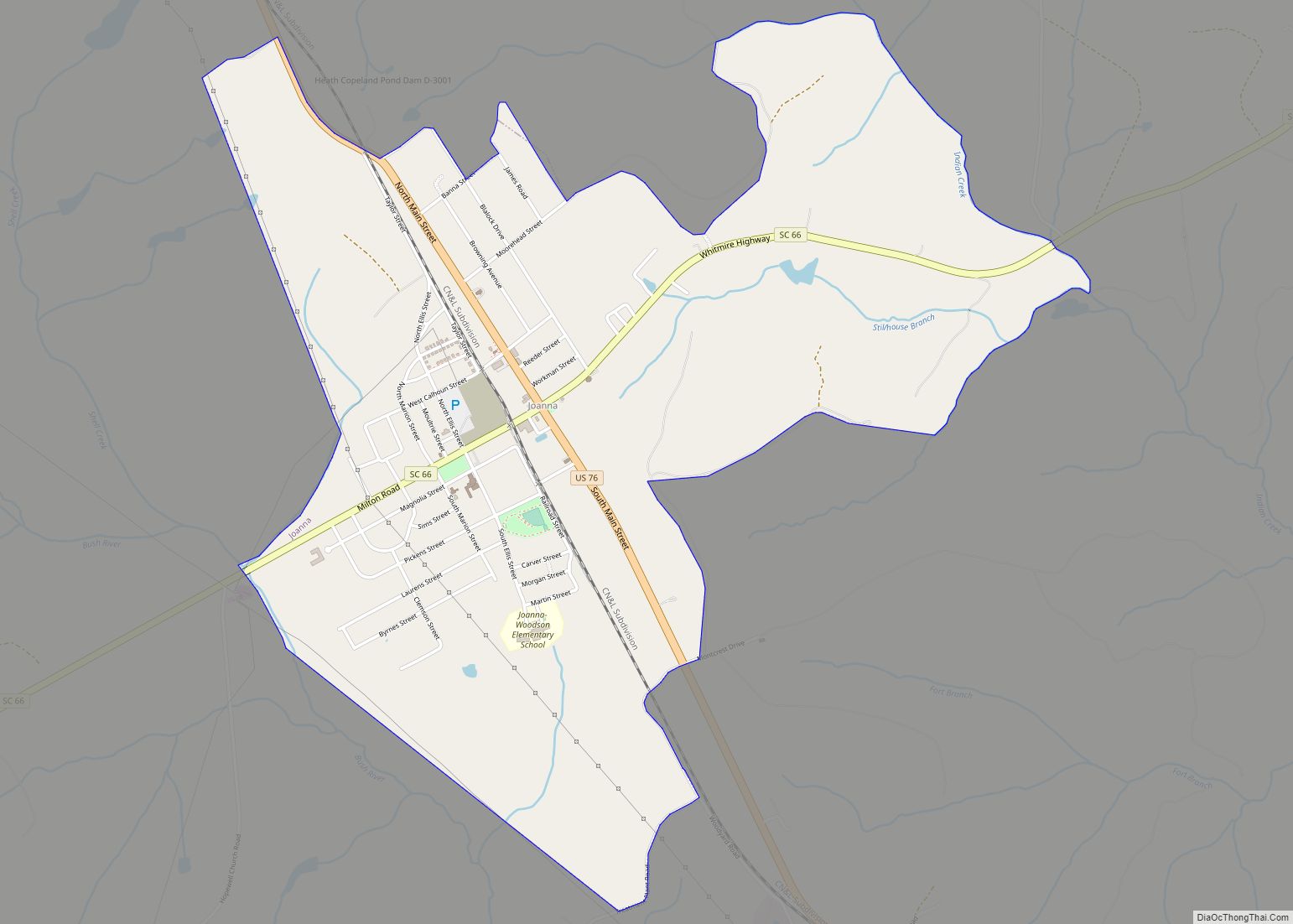
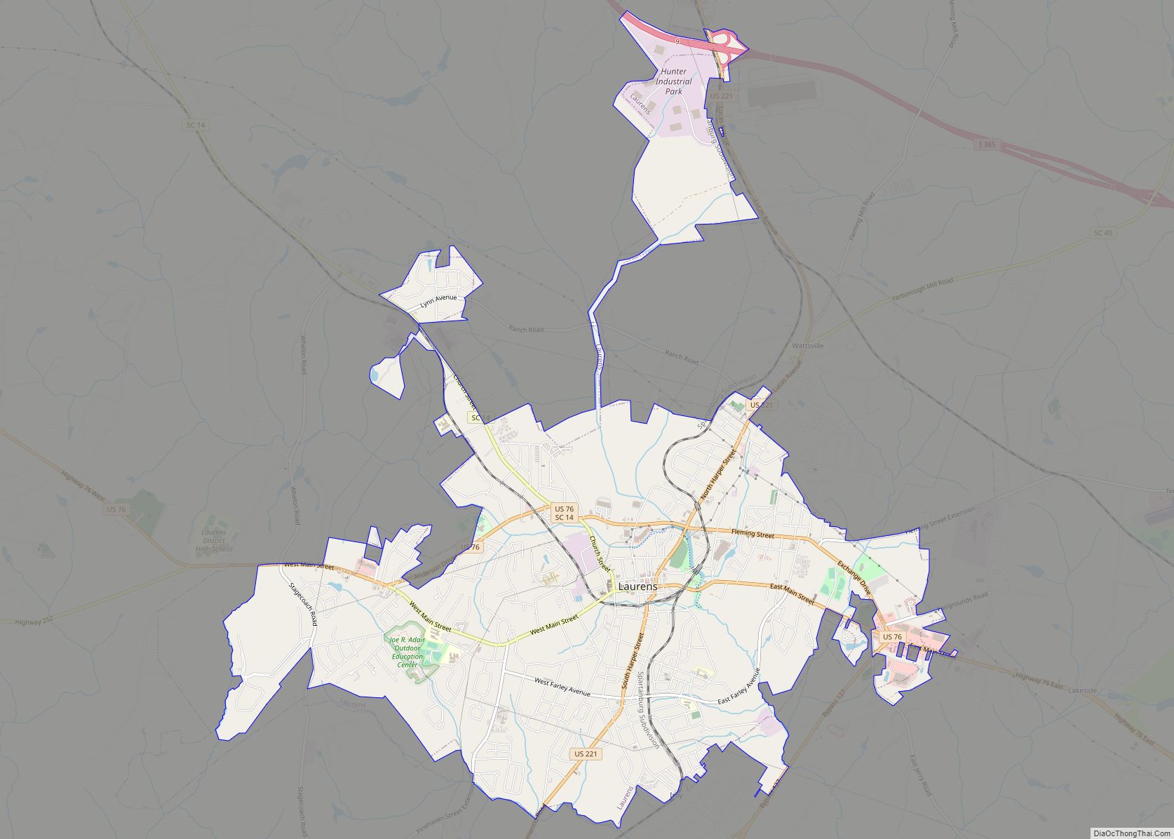
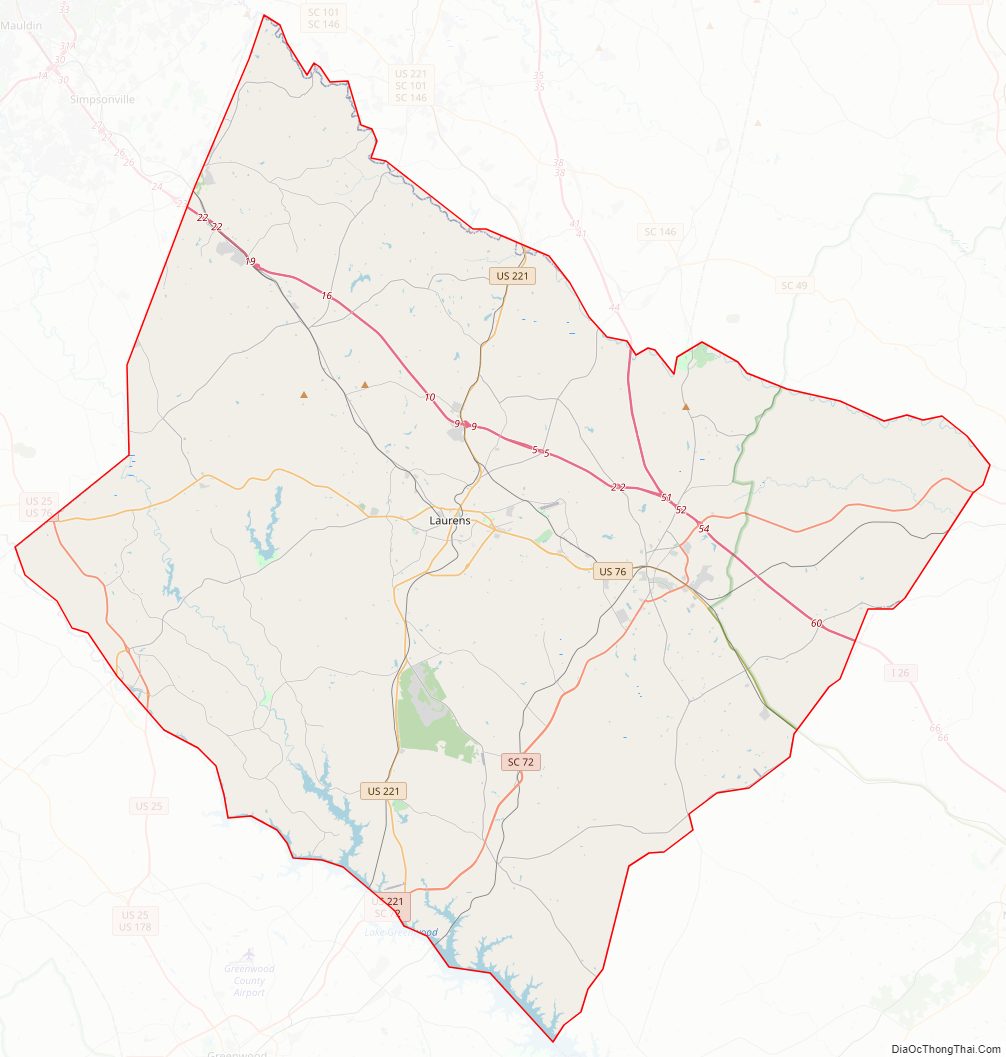
Laurens County Road Map
Geography
According to the U.S. Census Bureau, the county has a total area of 724 square miles (1,880 km), of which 714 square miles (1,850 km) is land and 10 square miles (26 km) (1.4%) is water.
National protected areas
- Belfast Wildlife Management Area (part)
- Sumter National Forest (part)
State and local protected areas/sites
- Lake Rabon Park
- Laurens County Park
- Musgrove Mill State Historic Site
Major water bodies
- Bush River
- Enoree River
- Lake Greenwood
- Lake Ribbon
- Saluda River
Adjacent counties
- Spartanburg County – north
- Union County – northeast
- Newberry County – southeast
- Greenwood County – south
- Abbeville County – southwest
- Anderson County – west
- Greenville County – northwest
Major highways
- I-26
- I-385
- US 25
- US 25 Bus.
- US 76
- US 76 Bus.
- US 221
- US 221 Truck
- SC 14
- SC 39
- SC 49
- SC 56
- SC 56 Bus.
- SC 66
- SC 66 Conn.
- SC 72
- SC 72 Bus.
- SC 101
- SC 127
- SC 252
- SC 252 Truck
- SC 418
- SC 560
Major infrastructure
- Laurens County Airport
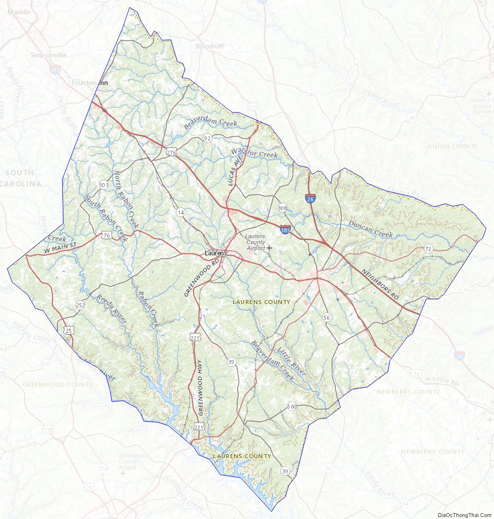
Laurens County Topographic Map
Laurens County Satellite Map
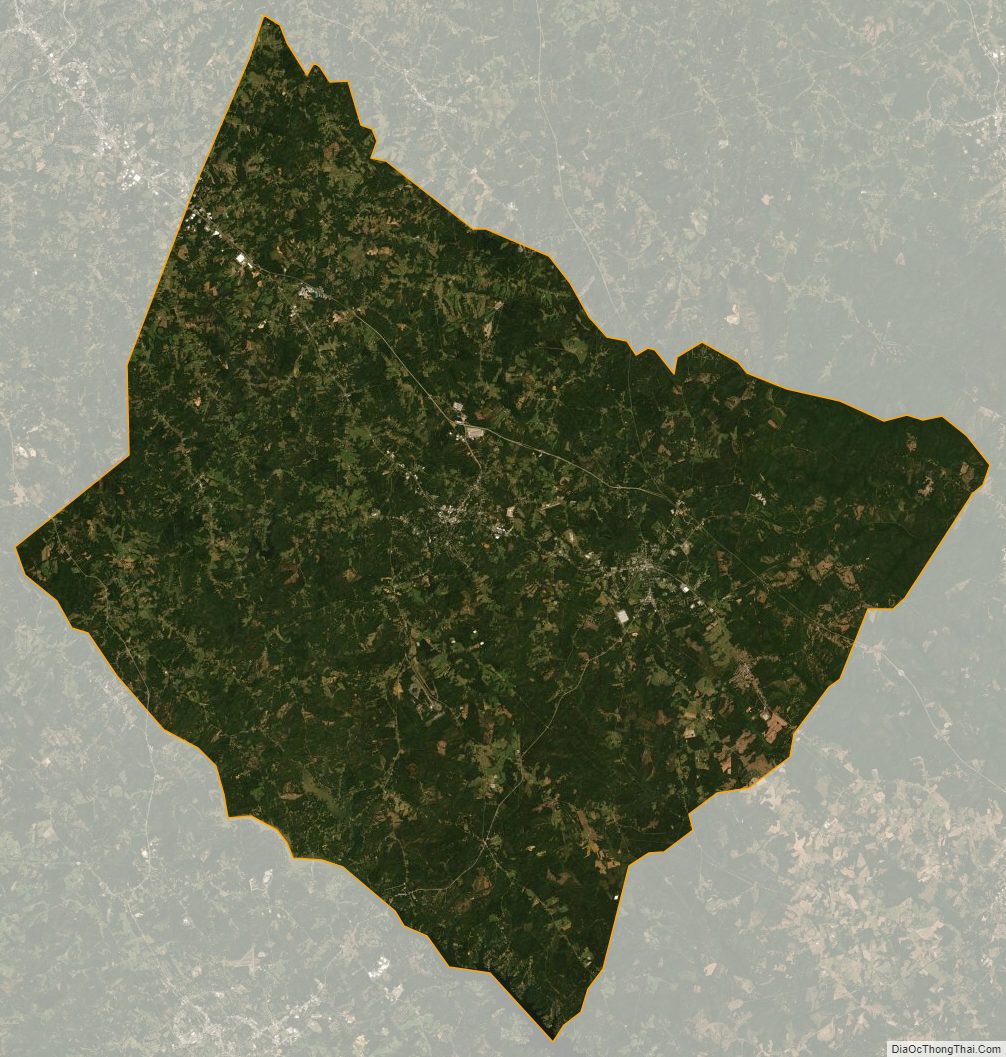
Laurens County Outline Map