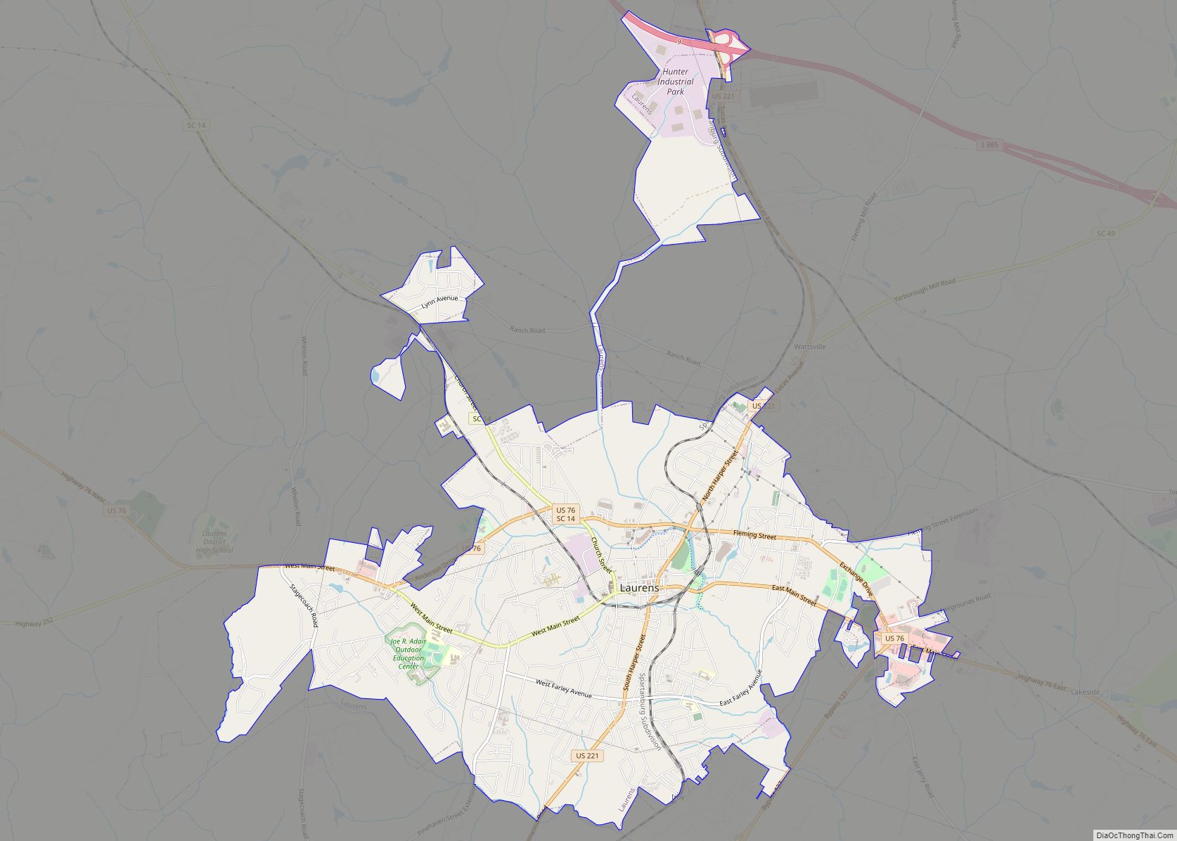
Laurens is a city in Laurens County, South Carolina, United States. The population was 9,139 at the 2010 census. It is the county seat of Laurens County.
| Name: | Laurens city |
|---|---|
| LSAD Code: | 25 |
| LSAD Description: | city (suffix) |
| State: | South Carolina |
| County: | Laurens County |
| Elevation: | 614 ft (187 m) |
| Land Area: | 9.84 sq mi (25.49 km²) |
| Water Area: | 0.00 sq mi (0.00 km²) |
| Population Density: | 948.49/sq mi (366.22/km²) |
| ZIP code: | 29360 |
| Area code: | 864 |
| FIPS code: | 4540615 |
| GNISfeature ID: | 1246310 |
| Website: | cityoflaurenssc.com |
Online Interactive Map
Click on ![]() to view map in "full screen" mode.
to view map in "full screen" mode.
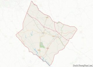
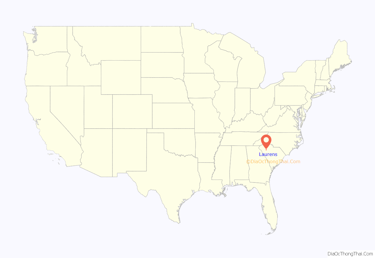
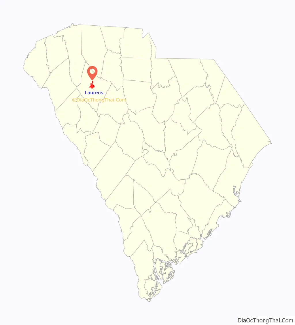
Laurens location map. Where is Laurens city?
History
Located in upstate South Carolina, the city of Laurens is named after Henry Laurens, a South Carolina merchant and rice planter who was one of America’s wealthiest slave traders. He was a delegate to and second president of the Continental Congress and served as a diplomat. It is part of the Greenville–Mauldin–Easley Metropolitan Statistical Area.
Laurens was established by an act of the General Assembly on March 15, 1785, as a location for commercial activities. It was one of the six counties created from the Old Ninety-Six District of South Carolina. Laurens was originally named Laurensville. On December 15, 1845, a charter was issued with the name of Laurensville. The first appearance of the town named Laurens was in an 1873 charter. The town of Laurens was chartered in 1900 and in 1916. It was named in honor of South Carolina statesman Henry Laurens.
The first inhabitants of Laurens were the Cherokee Indians. They used the land as their hunting and fighting ground. There has been evidence of broken potsherds, weapons, and a mound found linked to Cherokee culture on land now called Laurens. Many treaties were made with the Cherokee over the land known as Laurens County dating to 1721. Before the American Revolution, thousands of immigrants, mainly from Scotland and Ireland, settled in Laurens County. Later Laurens developed into a major intersection of commerce in colonial America. In the Battle of Musgrove Mill, Laurens witnessed intense fighting.
In 1790, after the Revolutionary War, Laurens was elected as the county seat. Like other southern towns, cotton was its major crop. High cotton production led to an economic boom and a substantial increase in the African American population due to the use of African slaves on cotton plantations. This attracted wealthy entrepreneurs and businessmen to Laurens. Future President Andrew Johnson worked as a tailor in downtown Laurens from 1824 to 1826.
Before the beginning of the American Civil War, Laurens provided a great deal of political leaders to the state government. The state’s decision to secede from the Union was influenced by many of them. The fighting of the Civil War never neared Laurens, but it was affected by the influx of refugees fleeing Charleston to avoid the progressing Union Army and Navy. Several of the refugees settled in Laurens after the war.
In the postwar Reconstruction years, Laurens’s economy evolved to include industry. The economic recovery relied upon the creation of the textiles and manufacturing industries. Lauren Cotton Mill was founded in 1895 and Watts Mill in 1902. Laurens Glass Company was established in 1910, and was one of the largest glass plants in the southeast for over 80 years. The Laurens Railroad Company was chartered in 1847. The Columbia-Newberry-Laurens Railroad and the Charleston-Western Carolina Railroad are the two major intersections provided by the railroad.
Laurens and Laurens County is part of the Old 96 District, which also includes Abbeville County, Greenwood County, McCormick County, and Edgefield County.
The textile, manufacturing, and glass industries were at one point a major source of employment. Although many of the textile plants and the glass production facilities have closed over the last 30 years, a variety of industries exist within the county, including corporations like CeramTec, International Paper, Milliken & Company and others. Walmart operates a distribution center outside the city near Interstate 385, which is a major employer. The area has seen several recent economic retail developments, and is seeing new capital investment in heavy industry, including a major new transmission production facility for German ZF Group. The unemployment rate as of February 2012 was 9.6%.
Laurens was the town chosen for a makeover in the second season of Town Haul.
Laurens is home to Reverend Gary Davis and Pink Anderson, acoustic blues musicians who were born in the city, as well as Redtop Davis, a lightweight boxer of the 1940s and 1950s. James “JT” Taylor, the lead singer of the funk/R&B band Kool & The Gang, grew up in Laurens.
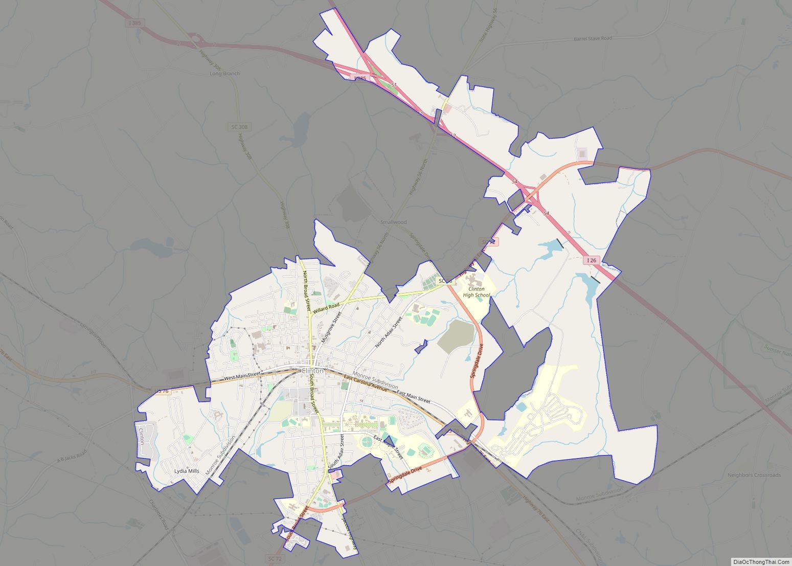
Laurens Road Map
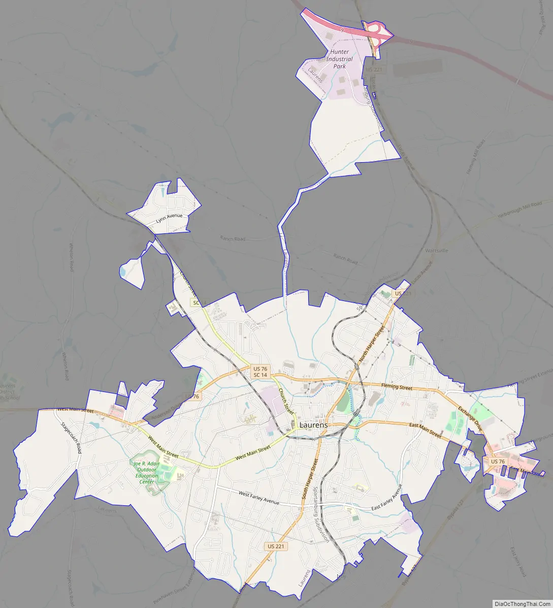
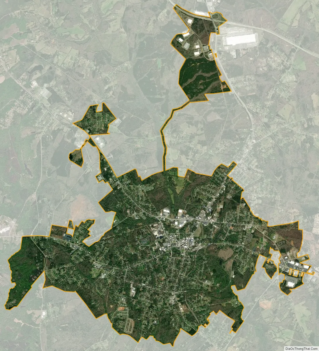
Laurens city Satellite Map
Geography
Laurens is located at 34°30′3″N 82°1′6″W / 34.50083°N 82.01833°W / 34.50083; -82.01833 (34.500717, -82.018271).
According to the United States Census Bureau, the city has a total area of 10.6 square miles (27 km), all land.
See also
Map of South Carolina State and its subdivision:- Abbeville
- Aiken
- Allendale
- Anderson
- Bamberg
- Barnwell
- Beaufort
- Berkeley
- Calhoun
- Charleston
- Cherokee
- Chester
- Chesterfield
- Clarendon
- Colleton
- Darlington
- Dillon
- Dorchester
- Edgefield
- Fairfield
- Florence
- Georgetown
- Greenville
- Greenwood
- Hampton
- Horry
- Jasper
- Kershaw
- Lancaster
- Laurens
- Lee
- Lexington
- Marion
- Marlboro
- McCormick
- Newberry
- Oconee
- Orangeburg
- Pickens
- Richland
- Saluda
- Spartanburg
- Sumter
- Union
- Williamsburg
- York
- Alabama
- Alaska
- Arizona
- Arkansas
- California
- Colorado
- Connecticut
- Delaware
- District of Columbia
- Florida
- Georgia
- Hawaii
- Idaho
- Illinois
- Indiana
- Iowa
- Kansas
- Kentucky
- Louisiana
- Maine
- Maryland
- Massachusetts
- Michigan
- Minnesota
- Mississippi
- Missouri
- Montana
- Nebraska
- Nevada
- New Hampshire
- New Jersey
- New Mexico
- New York
- North Carolina
- North Dakota
- Ohio
- Oklahoma
- Oregon
- Pennsylvania
- Rhode Island
- South Carolina
- South Dakota
- Tennessee
- Texas
- Utah
- Vermont
- Virginia
- Washington
- West Virginia
- Wisconsin
- Wyoming