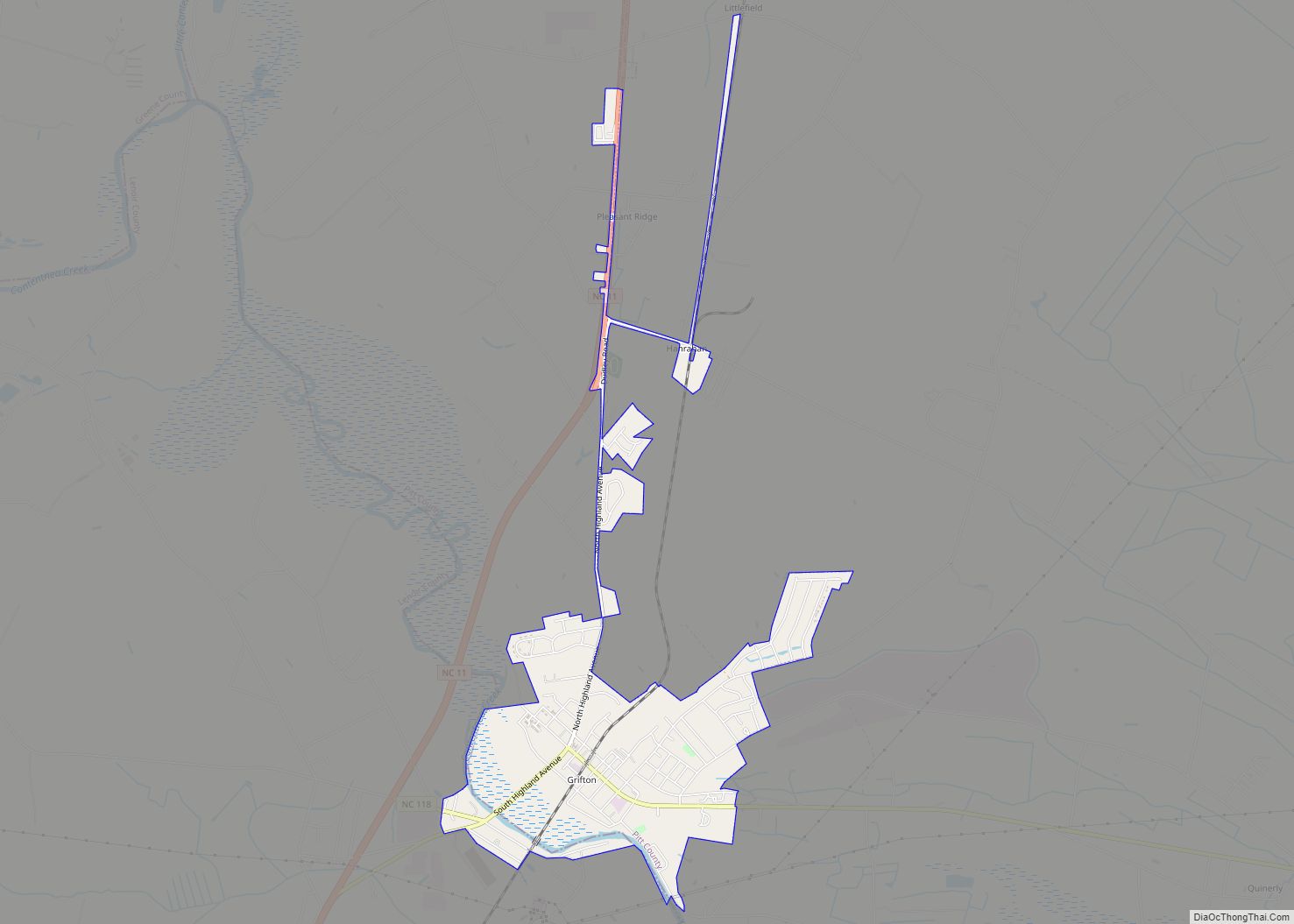
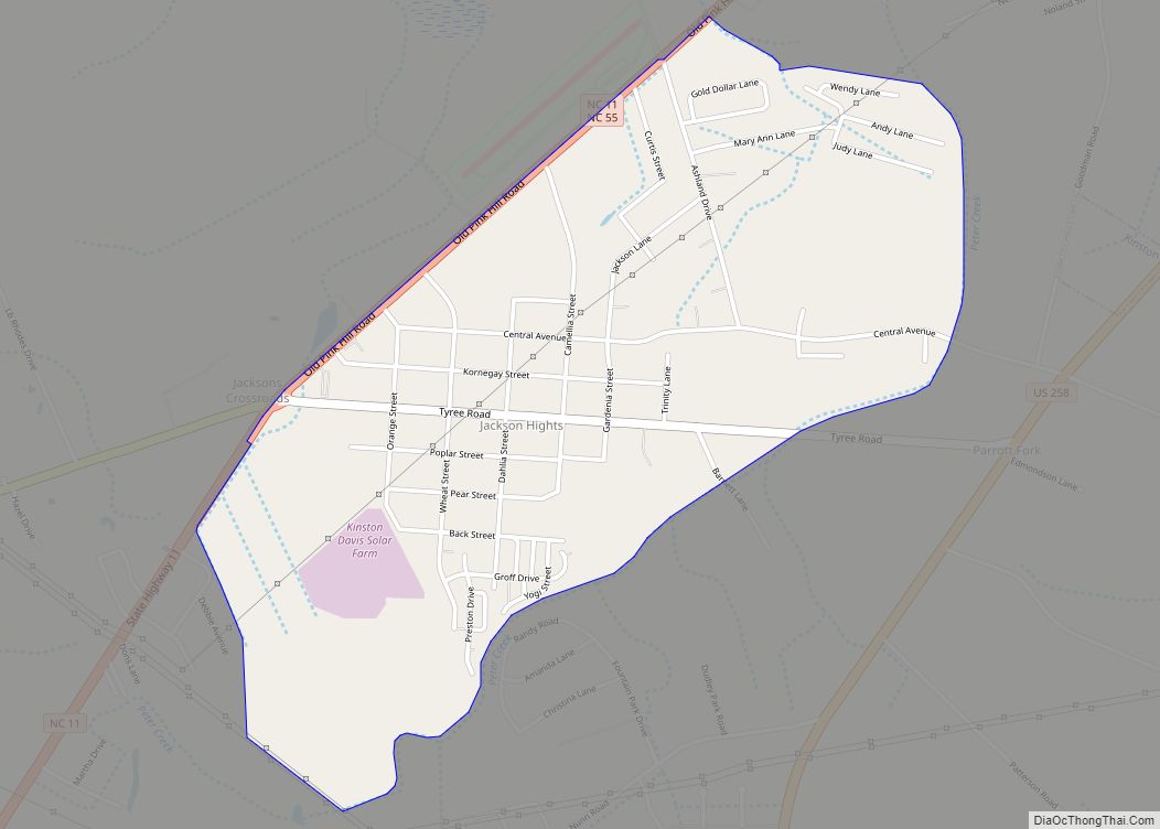
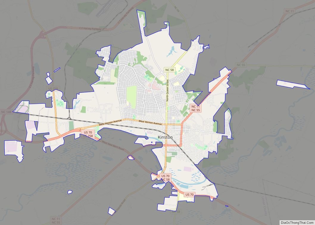
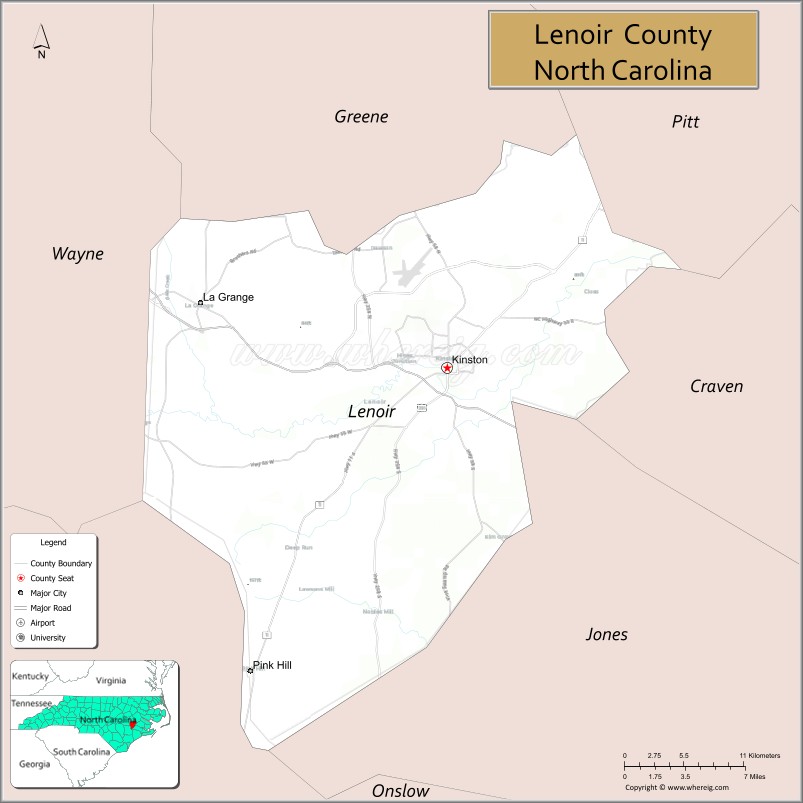
Lenoir County is a county in the U.S. state of North Carolina. As of the 2020 census, its population was 55,122. Its county seat is Kinston, located on the Neuse River, across which the county has its territory.
Lenoir County comprises the Kinston Micropolitan statistical area.
| Name: | Lenoir County |
|---|---|
| FIPS code: | 37-107 |
| State: | North Carolina |
| Founded: | 1791 |
| Named for: | William Lenoir |
| Seat: | Kinston |
| Largest city: | Kinston |
| Total Area: | 403 sq mi (1,040 km²) |
| Land Area: | 401 sq mi (1,040 km²) |
| Total Population: | 54,706 |
| Population Density: | 136.4/sq mi (52.7/km²) |
| Time zone: | UTC−5 (Eastern) |
| Summer Time Zone (DST): | UTC−4 (EDT) |
| Website: | www.lenoircountync.gov |
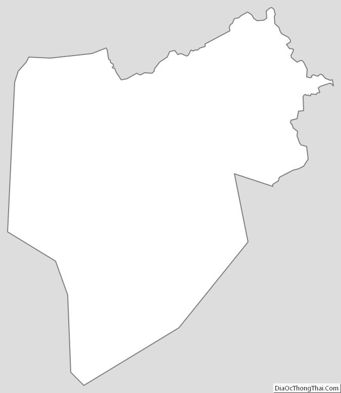
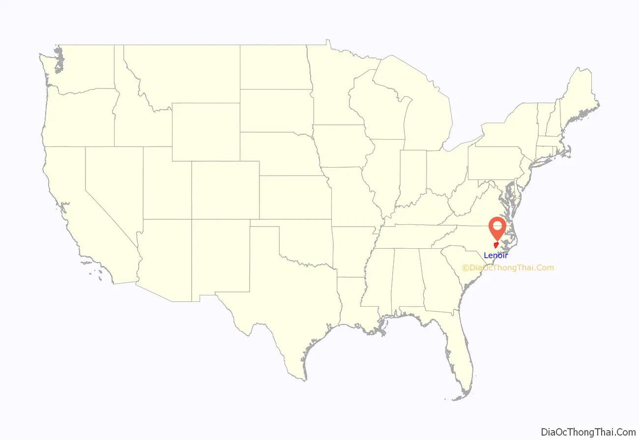
Lenoir County location map. Where is Lenoir County?
History
The county was formed in 1791 from the southern part of Dobbs County. It was named for William Lenoir (1751-1839), an officer in the American Revolutionary War who took part in the Battle of Kings Mountain. He was a prominent political leader; when the county was established, he was serving as Speaker of the North Carolina Senate.
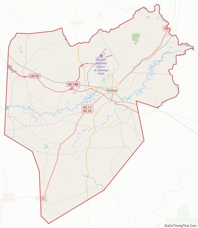
Lenoir County Road Map
Geography
According to the U.S. Census Bureau, the county has an area of 403 square miles (1,040 km), of which 2.2 square miles (5.7 km) (0.6%) are covered by water.
State and local protected site
- CSS Neuse
Major water bodies
- Contentnea Creek
- Neuse River
- Southwest Creek
- Wheat Swamp (Contentnea Creek tributary)
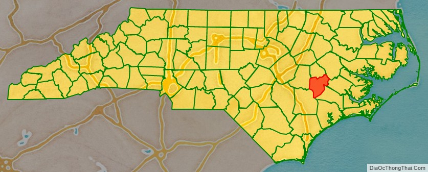
Adjacent counties
- Greene County – north
- Pitt County – northeast
- Craven County – east
- Jones County – southeast
- Duplin County – southwest
- Wayne County – west
Major highways
- Future I-42 (Concurrency with US 70)
- US 70
- US 70 Byp.
- US 258
- NC 11
- NC 55
- NC 58
- NC 118
- NC 148
- NC 241
- NC 903
The main highway in the county is US 70, which offers access to the North Carolina coast and I-95. Other highways that run through the county include US 258, NC 11, NC 58, NC 903 and NC 55. Interstate 95 is the closest Interstate Highway to the county, 50 miles west in Selma.
Major Infrastructure
- Amtrak Thruway (Kinston)
- Kinston Regional Jetport (IATA: ISO, ICAO: KISO)
- Global TransPark
- Greyhound Bus Terminal with a location in Kinston.
Lenoir County Topographic Map
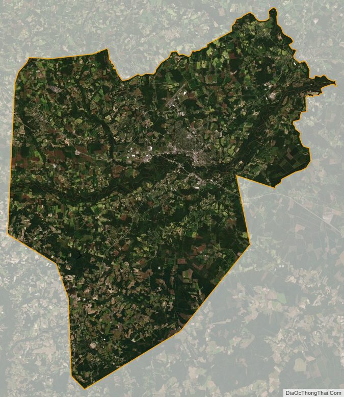
Lenoir County Satellite Map
Lenoir County Outline Map