Letcher County is a county located in the U.S. state of Kentucky. As of the 2020 census, the population was 21,548. Its county seat is Whitesburg. The county, founded in 1842, is named for Robert P. Letcher, Governor of Kentucky from 1840 to 1844.
| Name: | Letcher County |
|---|---|
| FIPS code: | 21-133 |
| State: | Kentucky |
| Founded: | 1842 |
| Named for: | Robert P. Letcher |
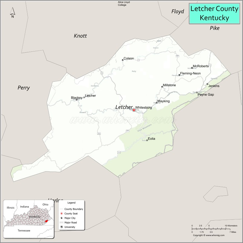
| Seat: | Whitesburg |
| Largest city: | Jenkins |
| Total Area: | 339 sq mi (880 km²) |
| Land Area: | 338 sq mi (880 km²) |
| Total Population: | 21,548 |
| Population Density: | 64/sq mi (25/km²) |
| Time zone: | UTC−5 (Eastern) |
| Summer Time Zone (DST): | UTC−4 (EDT) |
| Website: | letchercounty.ky.gov |
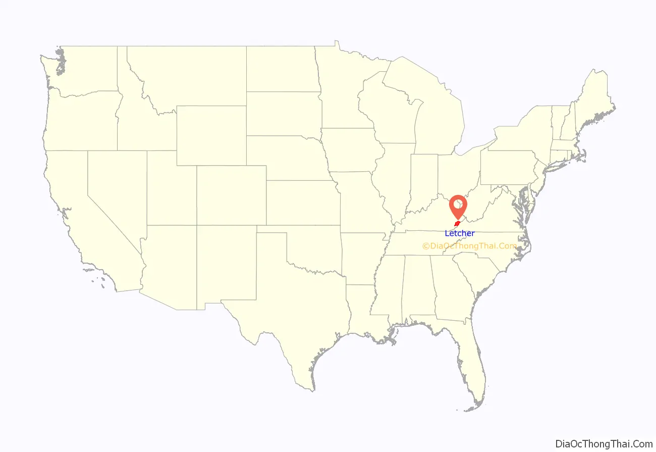
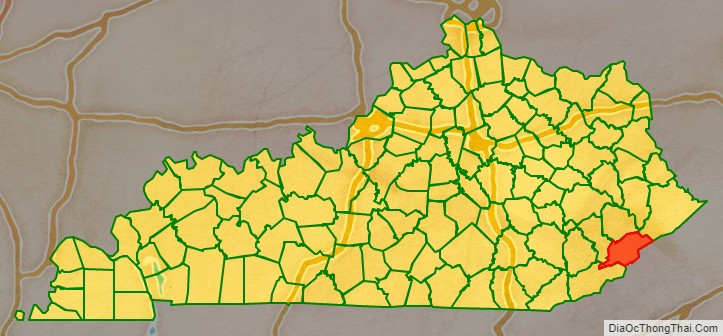
Letcher County location map. Where is Letcher County?
History
Letcher County is a dry county, with the only exceptions being the Highland Winery, the city of Whitesburg, and the city of Jenkins.
Harry M. Caudill’s 1963 book, Night Comes to the Cumberlands: A Biography of a Depressed Area, brought the county to national attention. The CBS documentary Christmas in Appalachia (1964) hosted by Charles Kuralt also brought the nation’s attention to Letcher County as citizens sent clothes and gifts in response to the conditions of those featured.
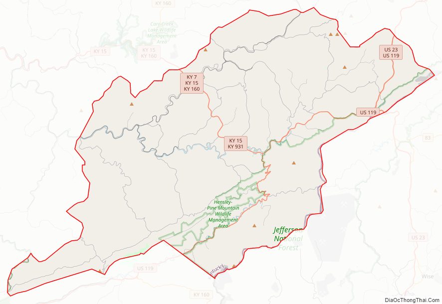
Letcher County Road Map
Geography
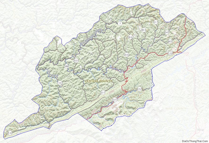
According to the United States Census Bureau, the county has a total area of 339 square miles (880 km), of which 338 square miles (880 km) is land and 1.1 square miles (2.8 km) (0.3%) is water. Letcher County’s natural areas include Bad Branch Falls and the Lilley Cornett Woods.
Adjacent counties
- Knott County (northwest)
- Pike County (northeast)
- Wise County, Virginia (southeast)
- Harlan County (south)
- Perry County (southwest)
National protected area
- Jefferson National Forest (part)
State protected area
- Bad Branch Falls State Nature Preserve
- Lilley Cornett Woods Experiment Station (Eastern Kentucky University)
State Parks
- Kingdom Come State Park (part)
- Pine Mountain Trail State Scenic Trail (part)
Pioneer Horse Trail controversy
In an effort to bring tourists to Letcher County and to revitalize the local economy, the Pioneer Horse Trail was constructed on Pine Mountain. The trail, part of an “adventure tourism” initiative spearheaded by then Governor Steve Beshear, Beshear’s wife Jane, and Lieutenant Governor Daniel Mongiardo, was completed in 2009.
However, controversy arose about whether the environment would be harmed during construction. In the summer of 2008, the Letcher County Fiscal Court had signed an agreement with state officials stating that the county would do an environmental impact study before construction would begin. Documents obtained by the Lexington Herald-Leader under Kentucky’s Open Records Act showed that construction actually began before the study was to take place. County-owned bulldozers started clearing trees in part of a wildlife management area in which heavy equipment was not permitted. Environmental groups are asking the U.S. Fish and Wildlife Service to determine if any species on the threatened or endangered list were harmed.
Letcher County Topographic Map
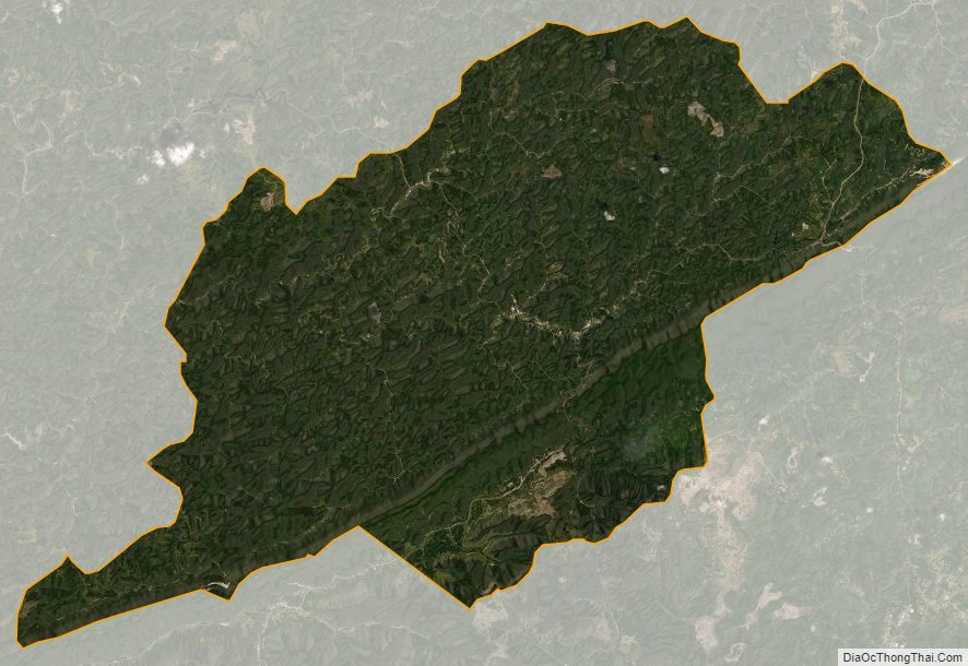
Letcher County Satellite Map
Letcher County Outline Map