Jenkins is a home rule-class city in Letcher County, Kentucky, United States. The population was 2,203 as of the 2010 census.
| Name: | Jenkins city |
|---|---|
| LSAD Code: | 25 |
| LSAD Description: | city (suffix) |
| State: | Kentucky |
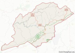
| County: | Letcher County |
| Incorporated: | January 9, 1912 |
| Elevation: | 1,539 ft (469 m) |
| Total Area: | 8.88 sq mi (22.99 km²) |
| Land Area: | 8.85 sq mi (22.91 km²) |
| Water Area: | 0.03 sq mi (0.08 km²) |
| Total Population: | 1,902 |
| Population Density: | 215.04/sq mi (83.03/km²) |
| ZIP code: | 41537 |
| Area code: | 606 |
| FIPS code: | 2140312 |
| GNISfeature ID: | 0495200 |
| Website: | www.cityofjenkins.org |
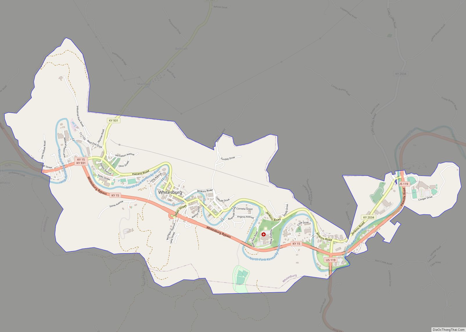
Online Interactive Map
Click on ![]() to view map in "full screen" mode.
to view map in "full screen" mode.
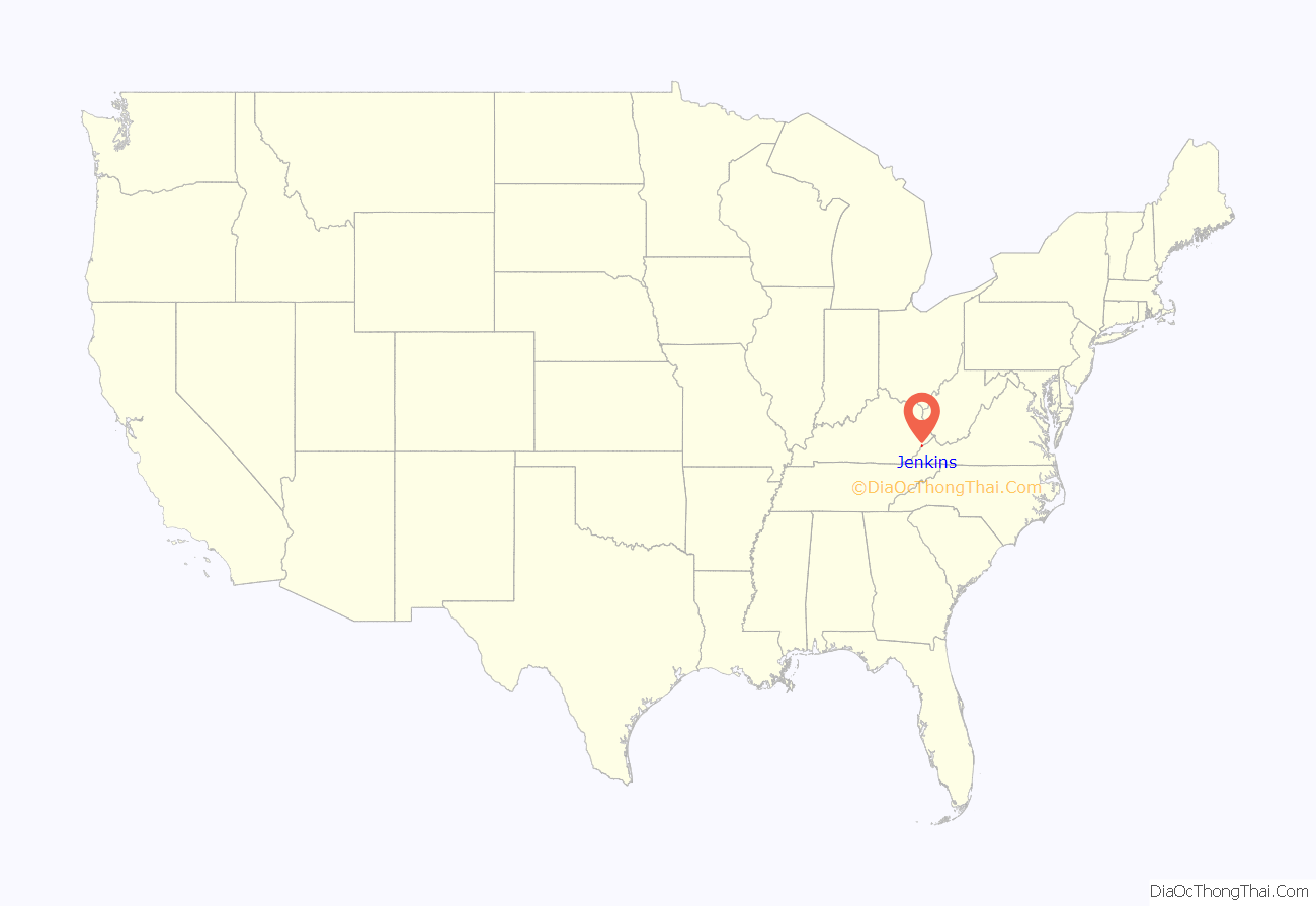
Jenkins location map. Where is Jenkins city?

History
In autumn of 1911, the Consolidation Coal Company purchased the current location of Jenkins as part of a 100,000-acre (40,000 ha) tract of land in Pike, Letcher, and Floyd counties from the Northern Coal and Coke Company. After the acquisition was finalized, plans were made to extend the Lexington and Eastern Railroad from Jackson to a town named McRoberts. The plans also included the establishment of the town of Jenkins for George C. Jenkins, one of the Consolidation Coal Company’s directors.
Because of the need of hundreds of homes and other structures, nine sawmills and two brickyards were erected. A dynamo was built to temporarily generate power for the houses. Next, a temporary narrow-gauge railroad was built over Pine Mountain from Glamorgan, Virginia, in order to carry supplies to further the development of the town. Jenkins’s city government was established as soon as the businesses and land were put up for sale. The company even went as far to supply the town with its own marshals to enforce the law. Jenkins was finally incorporated as a sixth-class city on January 9, 1912.
Jenkins was home to minor league baseball from 1948 to 1951. The Jenkins Cavaliers played as members of the Class D level Mountain States League. Jenkins played home games at the Jenkins Athletic Field.
In 1956, Consolidation Coal sold Jenkins to Bethlehem Steel. Bethlehem Steel closed the mine in 1988.
Diana Baldwin and Anita Cherry are believed to have been the first women to work inside an American coal mine, and were the first women to work inside a mine who were members of the United Mine Workers of America. They began that work in 1973 in Jenkins.
During the Southeast Kentucky floods of 2020, water spilled over the top of the Elkhorn Lake dam above Jenkins, which is considered one of Kentucky’s most dangerous. About 30 percent of Jenkins is vulnerable to flooding in the event of a dam break, and the town lacks a comprehensive emergency plan.
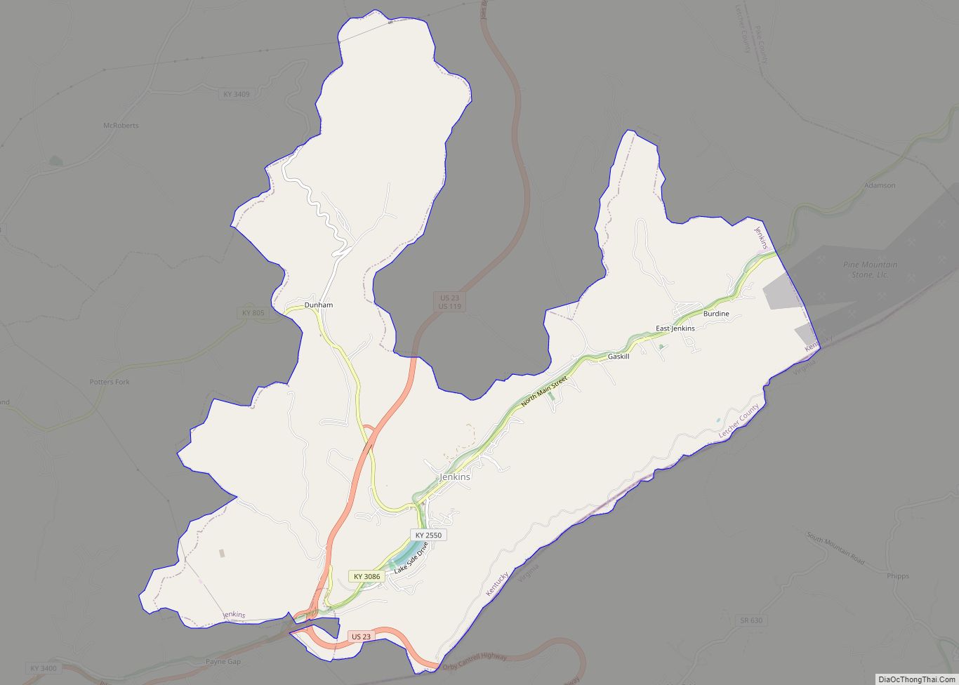
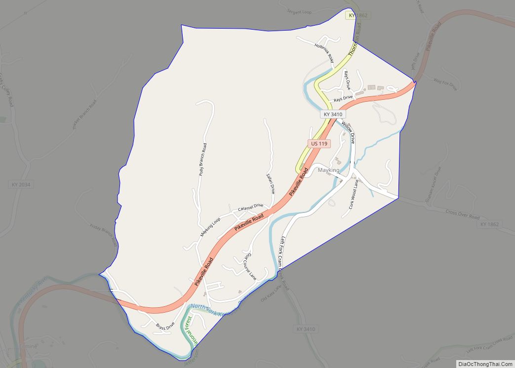
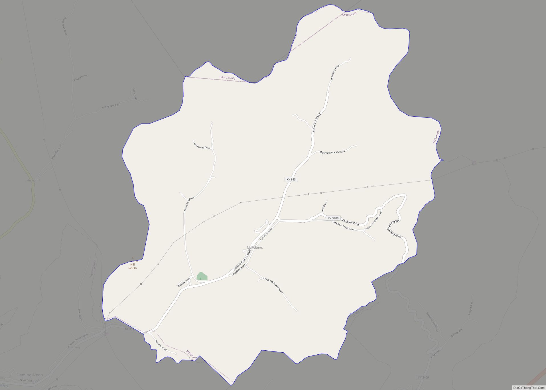
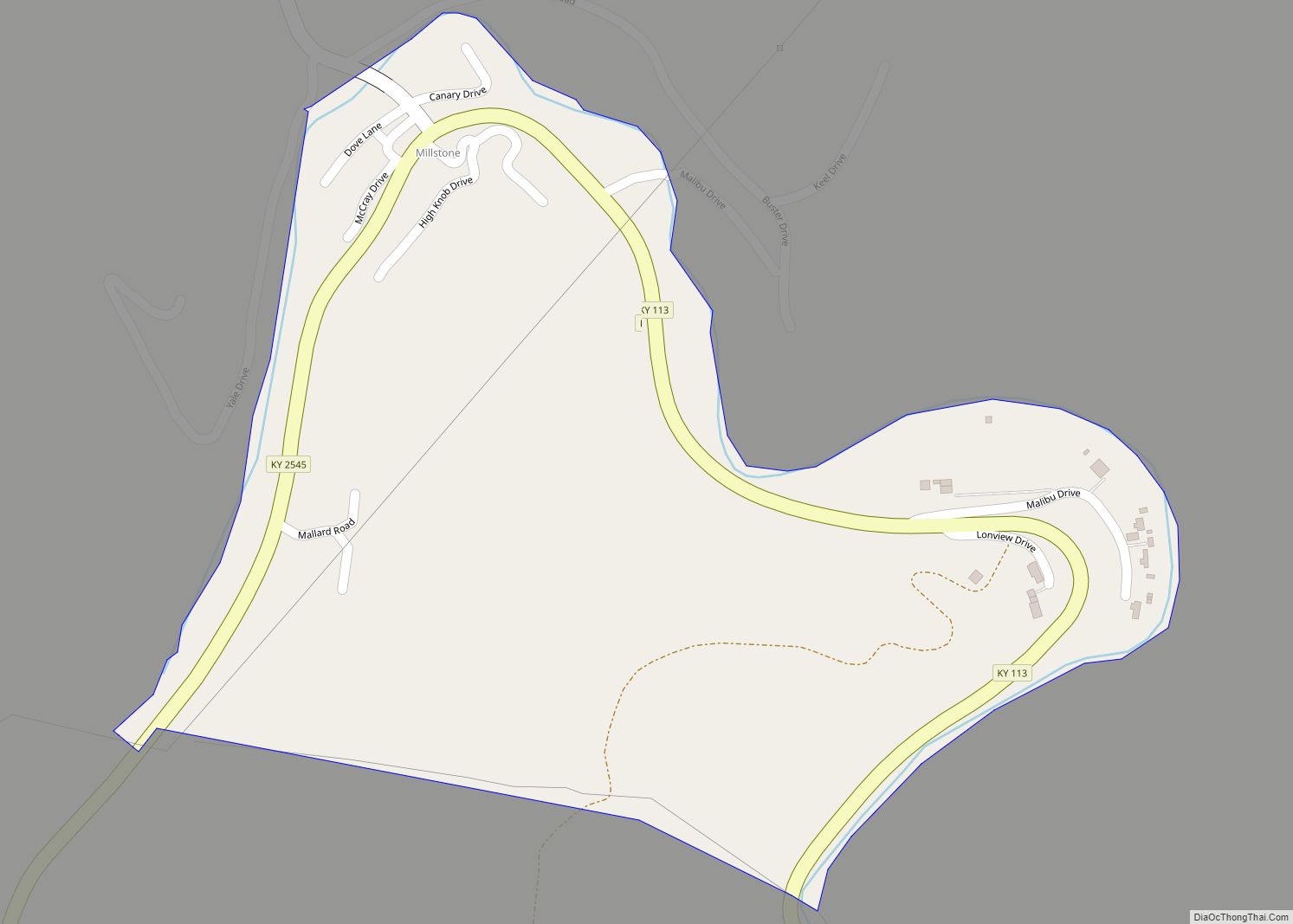
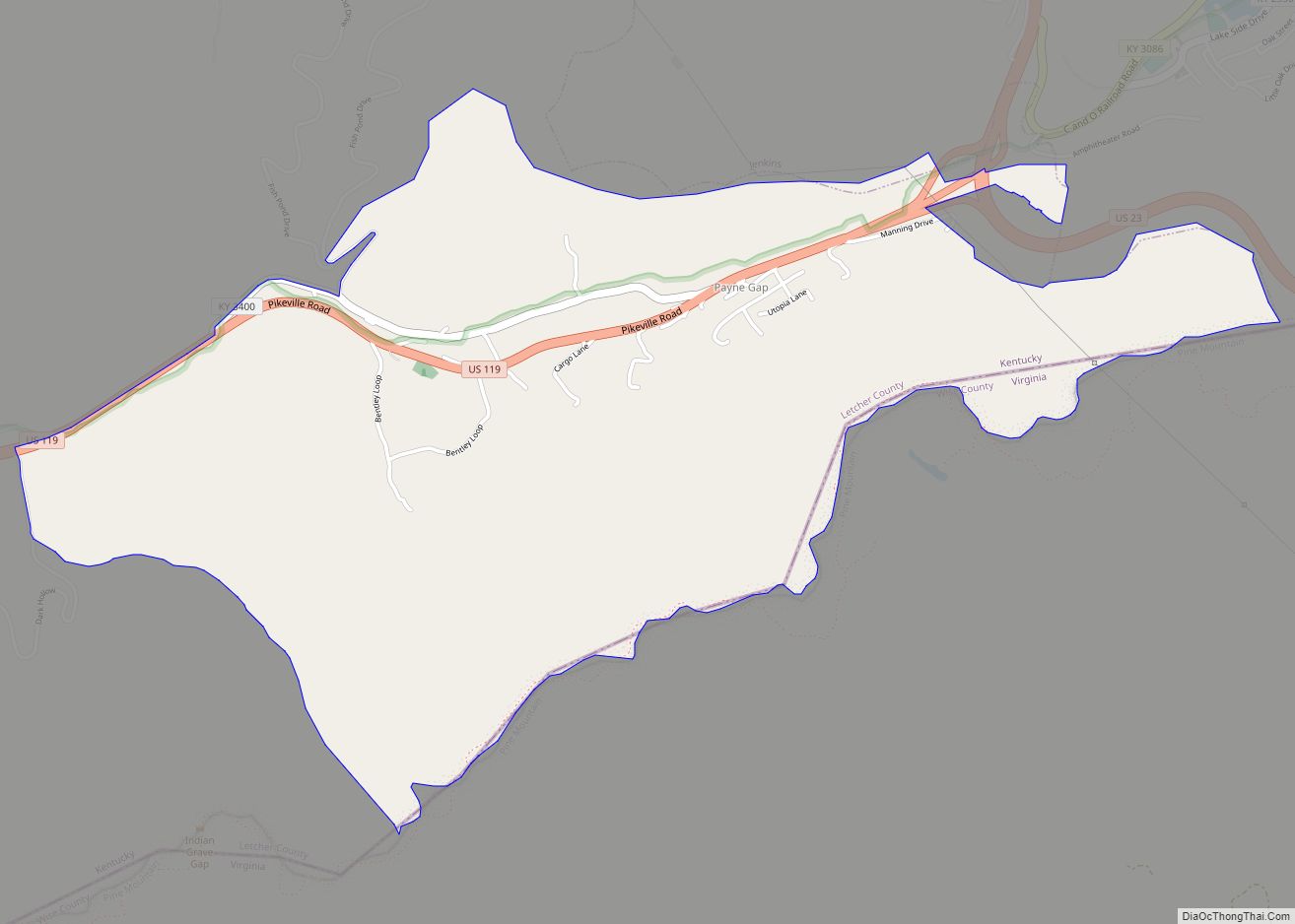
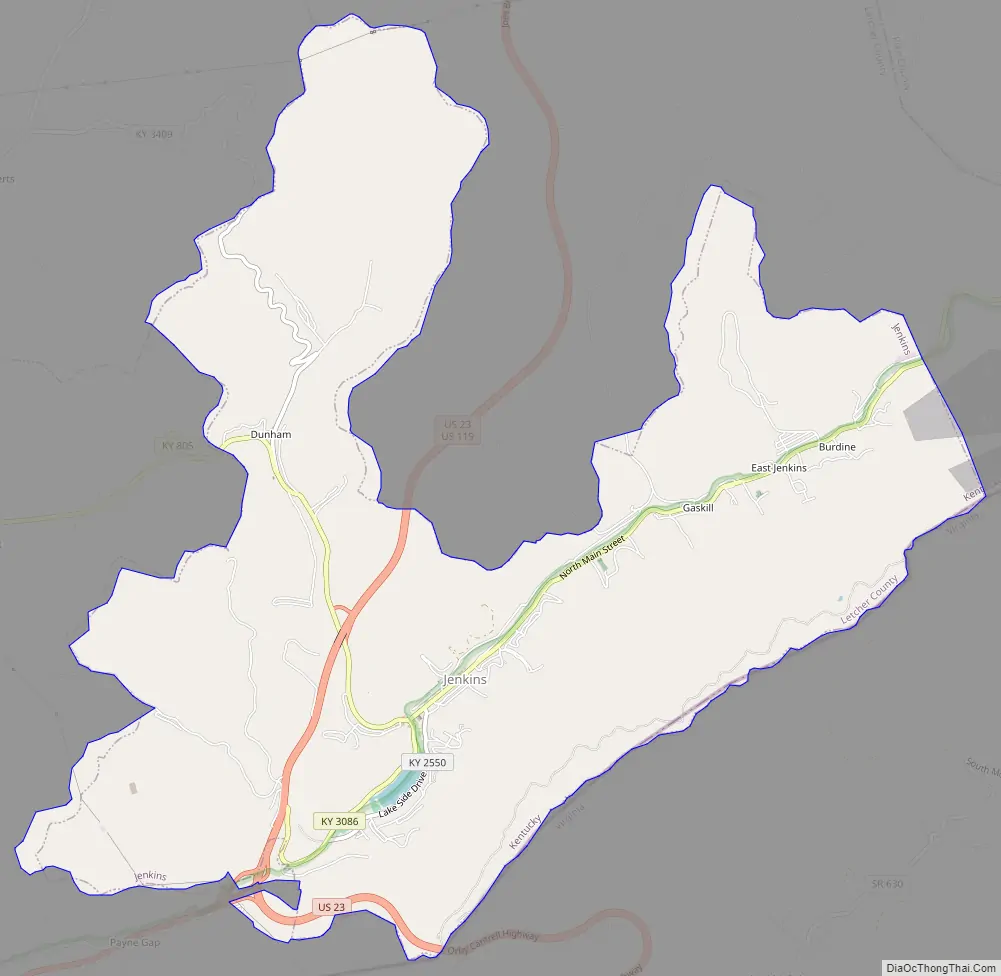
Jenkins Road Map
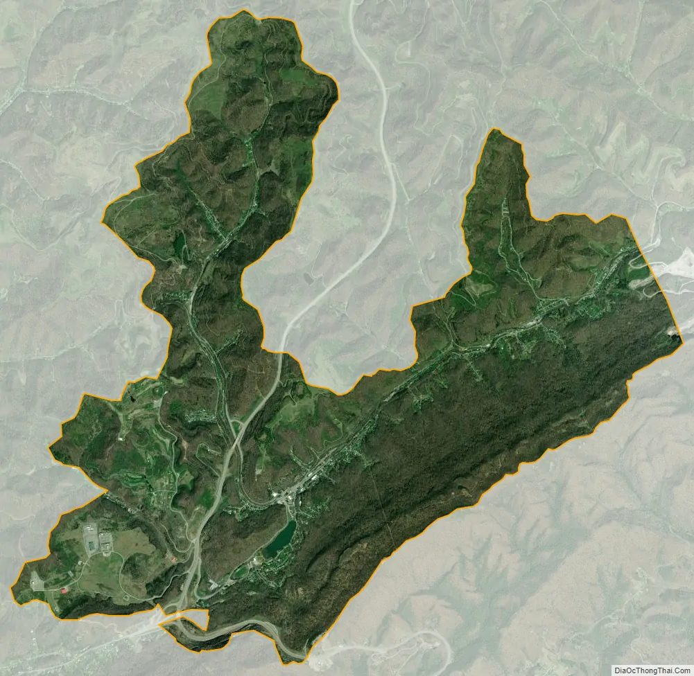
Jenkins city Satellite Map
Geography
Jenkins is located in eastern Letcher County at 37°10′48″N 82°37′56″W / 37.18000°N 82.63222°W / 37.18000; -82.63222 (37.179914, -82.632148). Its southern border is the Kentucky–Virginia state line, following the crest of Pine Mountain.
U.S. Route 23 passes through Jenkins, leading north 29 miles (47 km) to Pikeville and south over Pine Mountain 21 miles (34 km) to Norton, Virginia. U.S. Route 119 leads southwest from Jenkins 12 miles (19 km) to Whitesburg, the Letcher county seat, and north with US 23 to Pikeville.
According to the United States Census Bureau, the city has a total area of 8.9 square miles (23.0 km), of which 8.8 square miles (22.9 km) are land and 0.04 square miles (0.1 km), or 0.34%, are water. The city is in the valley of Elkhorn Creek, a northeast-flowing tributary of the Russell Fork, part of the Levisa Fork–Big Sandy River watershed flowing north to the Ohio River.
See also
Map of Kentucky State and its subdivision:- Adair
- Allen
- Anderson
- Ballard
- Barren
- Bath
- Bell
- Boone
- Bourbon
- Boyd
- Boyle
- Bracken
- Breathitt
- Breckinridge
- Bullitt
- Butler
- Caldwell
- Calloway
- Campbell
- Carlisle
- Carroll
- Carter
- Casey
- Christian
- Clark
- Clay
- Clinton
- Crittenden
- Cumberland
- Daviess
- Edmonson
- Elliott
- Estill
- Fayette
- Fleming
- Floyd
- Franklin
- Fulton
- Gallatin
- Garrard
- Grant
- Graves
- Grayson
- Green
- Greenup
- Hancock
- Hardin
- Harlan
- Harrison
- Hart
- Henderson
- Henry
- Hickman
- Hopkins
- Jackson
- Jefferson
- Jessamine
- Johnson
- Kenton
- Knott
- Knox
- Larue
- Laurel
- Lawrence
- Lee
- Leslie
- Letcher
- Lewis
- Lincoln
- Livingston
- Logan
- Lyon
- Madison
- Magoffin
- Marion
- Marshall
- Martin
- Mason
- McCracken
- McCreary
- McLean
- Meade
- Menifee
- Mercer
- Metcalfe
- Monroe
- Montgomery
- Morgan
- Muhlenberg
- Nelson
- Nicholas
- Ohio
- Oldham
- Owen
- Owsley
- Pendleton
- Perry
- Pike
- Powell
- Pulaski
- Robertson
- Rockcastle
- Rowan
- Russell
- Scott
- Shelby
- Simpson
- Spencer
- Taylor
- Todd
- Trigg
- Trimble
- Union
- Warren
- Washington
- Wayne
- Webster
- Whitley
- Wolfe
- Woodford
- Alabama
- Alaska
- Arizona
- Arkansas
- California
- Colorado
- Connecticut
- Delaware
- District of Columbia
- Florida
- Georgia
- Hawaii
- Idaho
- Illinois
- Indiana
- Iowa
- Kansas
- Kentucky
- Louisiana
- Maine
- Maryland
- Massachusetts
- Michigan
- Minnesota
- Mississippi
- Missouri
- Montana
- Nebraska
- Nevada
- New Hampshire
- New Jersey
- New Mexico
- New York
- North Carolina
- North Dakota
- Ohio
- Oklahoma
- Oregon
- Pennsylvania
- Rhode Island
- South Carolina
- South Dakota
- Tennessee
- Texas
- Utah
- Vermont
- Virginia
- Washington
- West Virginia
- Wisconsin
- Wyoming