Whitesburg is a home rule-class city in and the county seat of Letcher County, Kentucky, United States. The population was 2,139 at the 2010 census and an estimated 1,875 in 2018. It was named for John D. White, a state politician.
| Name: | Whitesburg city |
|---|---|
| LSAD Code: | 25 |
| LSAD Description: | city (suffix) |
| State: | Kentucky |
| County: | Letcher County |
| Incorporated: | March 6, 1876 |
| Elevation: | 1,171 ft (357 m) |
| Total Area: | 3.20 sq mi (8.30 km²) |
| Land Area: | 3.13 sq mi (8.11 km²) |
| Water Area: | 0.07 sq mi (0.18 km²) |
| Total Population: | 1,773 |
| Population Density: | 566.09/sq mi (218.59/km²) |
| ZIP code: | 41858 |
| Area code: | 606 |
| FIPS code: | 2182776 |
| GNISfeature ID: | 0506678 |
| Website: | www.cityofwhitesburg.com |
Online Interactive Map
Click on ![]() to view map in "full screen" mode.
to view map in "full screen" mode.
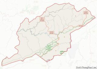
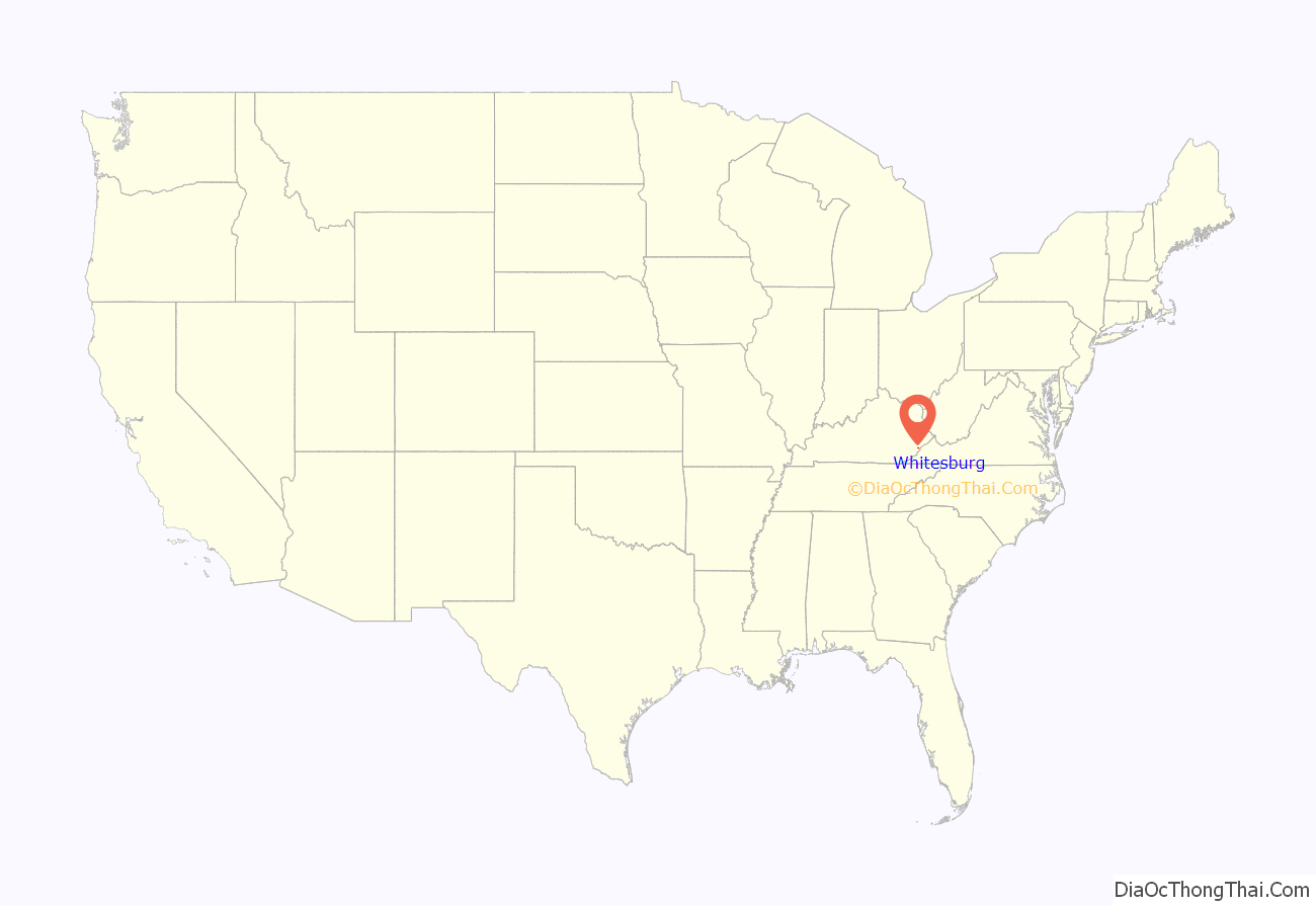
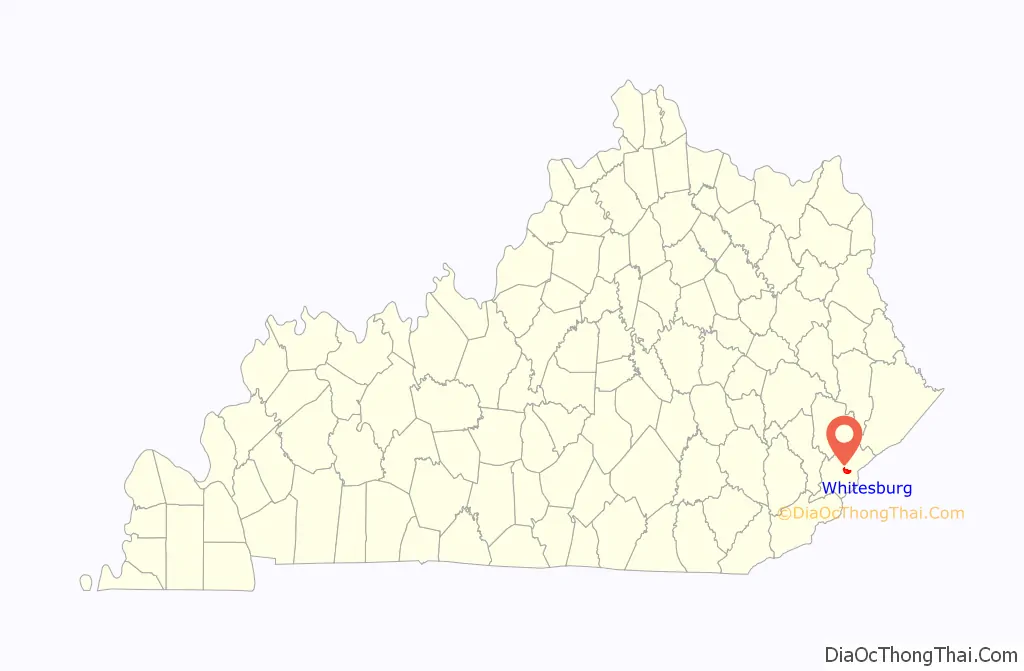
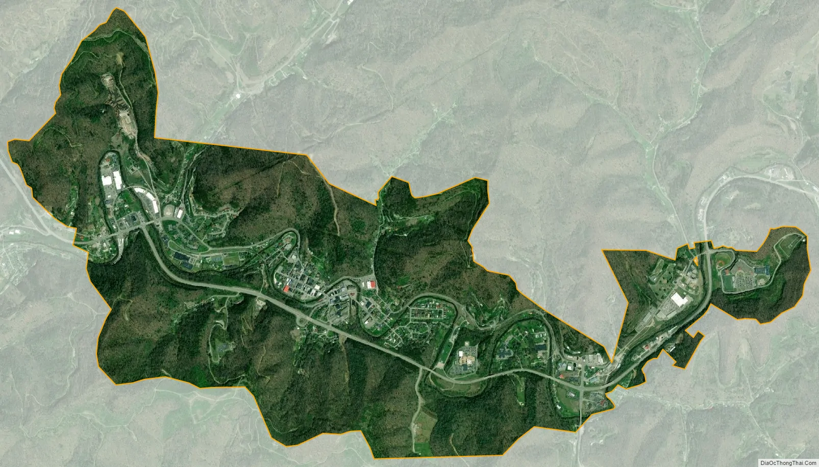
Whitesburg location map. Where is Whitesburg city?
History
Whitesburg was founded in 1842 on land offered by Stephen Hiram Hogg to build the county seat. Previously called Summit city, It was renamed for John D. White who had introduced Letcher county’s enactment bill in the State legislature.
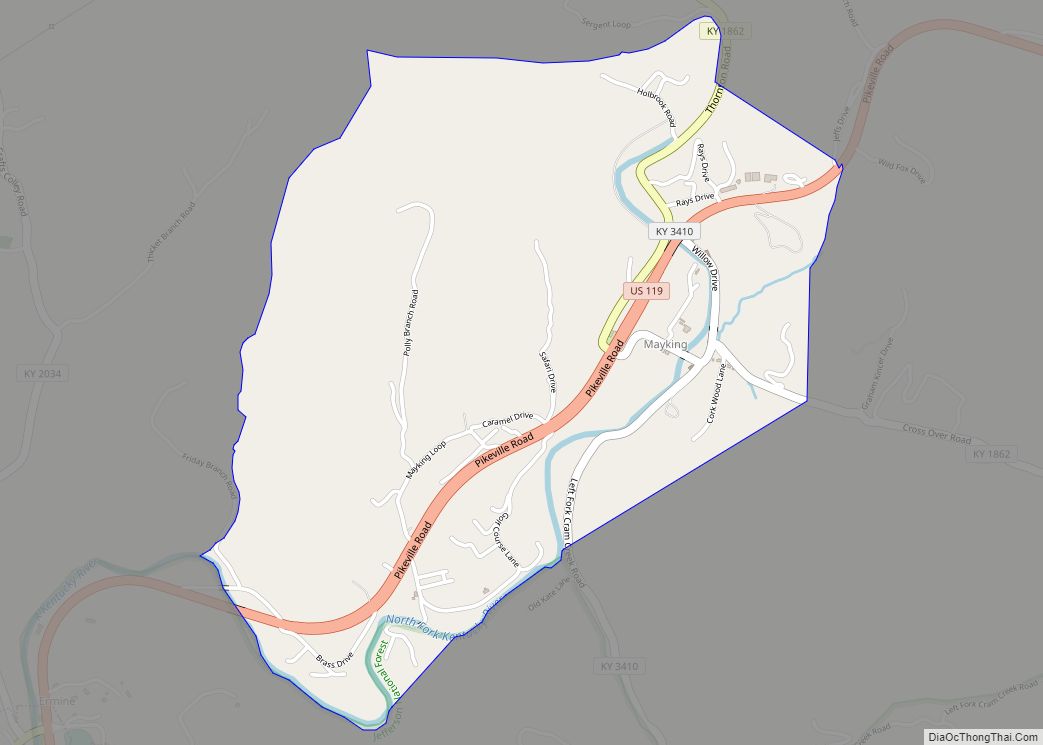
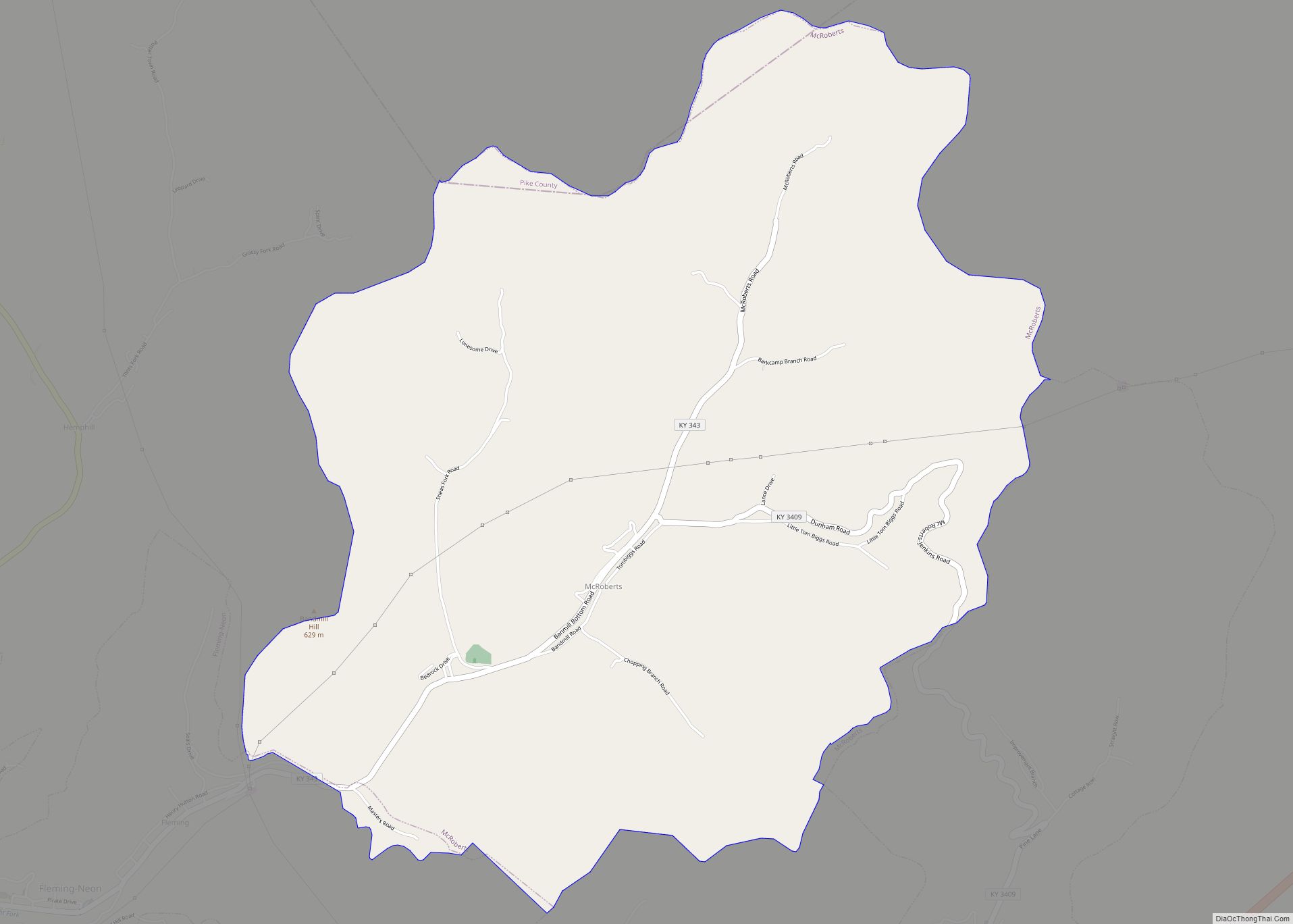
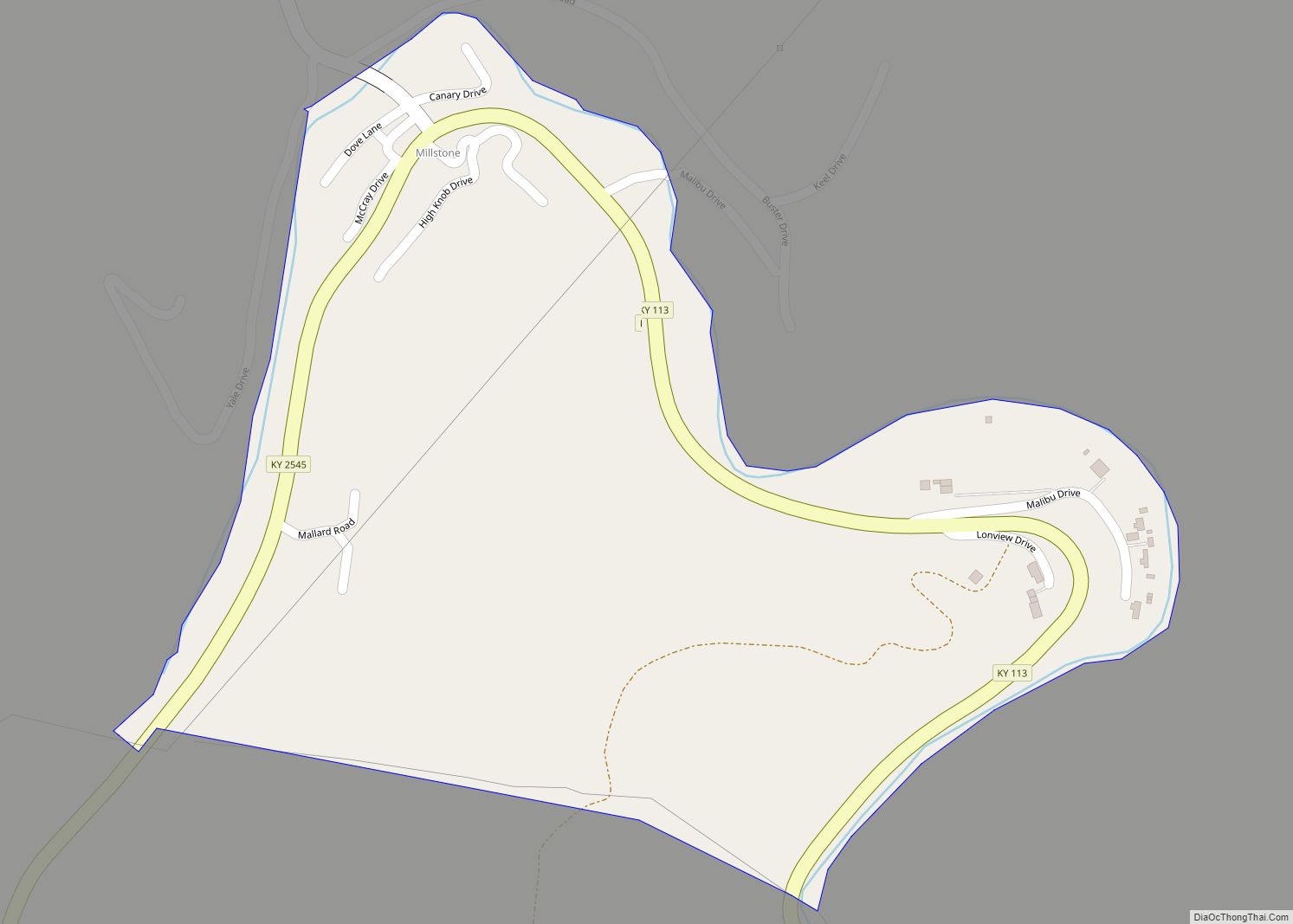
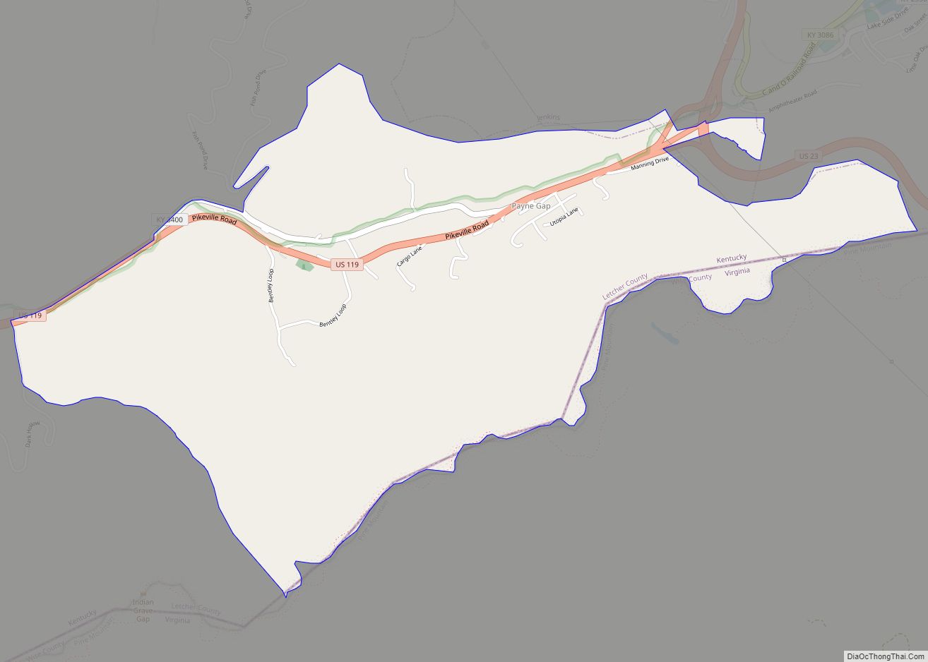
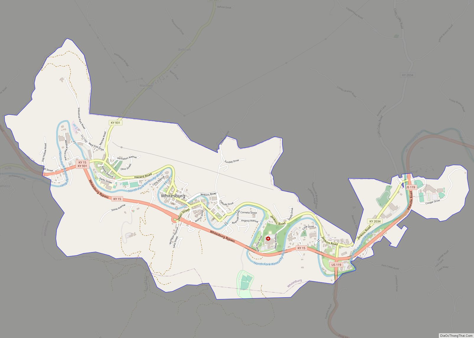
Whitesburg Road Map
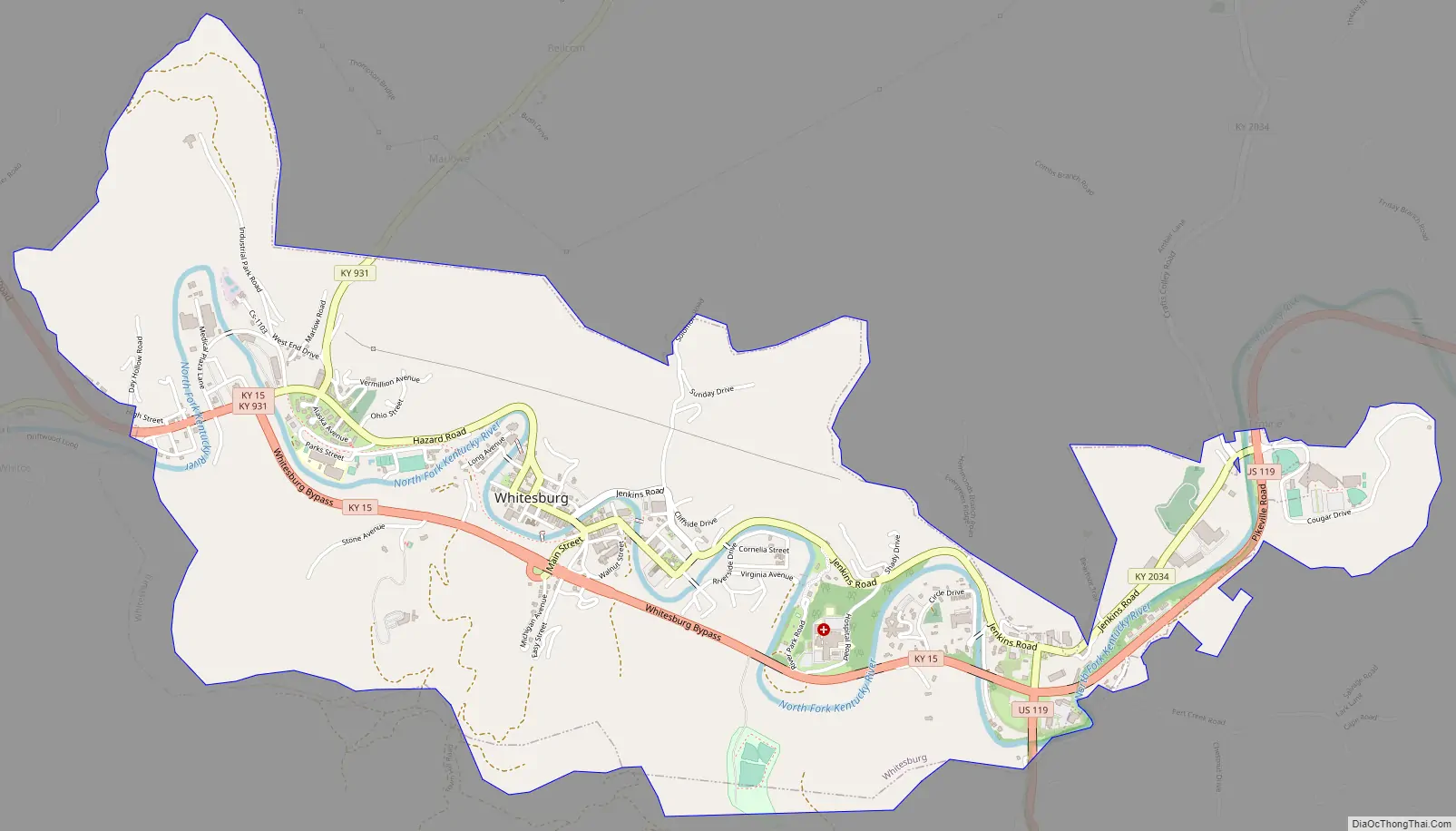
Whitesburg city Satellite Map
Geography
Whitesburg is located in central Letcher County at 37°7′4″N 82°49′16″W / 37.11778°N 82.82111°W / 37.11778; -82.82111 (37.117867, -82.821068) in the valley of the North Fork of the Kentucky River, five miles (8 km) west of the border of Kentucky and Virginia.
Kentucky Route 15 passes through the city, leading northwest 31 miles (50 km) to Hazard. It has its eastern terminus in the east part of Whitesburg at U.S. Route 119. US 119 leads northeast 11 miles (18 km) to U.S. Route 23 at Jenkins and southwest over Pine Mountain 20 miles (32 km) to Cumberland.
According to the United States Census Bureau, Whitesburg has a total area of 3.2 square miles (8.3 km), of which 3.1 square miles (8.1 km) are land and 0.1 square miles (0.2 km), or 2.23%, are water.
Climate
Whitesburg is located within a climatic transition zone between the humid subtropical climate and the humid continental climate zones. Summers are hot, humid and wet. July is the warmest month, with an average high of 86 °F (30 °C) and an average low of 63 °F (17 °C). Winters are generally cool to cold, with occasional snowfall. January is the coldest month, with an average high of 44 °F (7 °C) and an average low of 21 °F (−6 °C). May receives the most precipitation with an average of 5.83 inches (148 mm). The highest recorded temperature was 97 °F (36 °C) in 1998, and the lowest recorded temperature was −15 °F (−26 °C) in 1996.
See also
Map of Kentucky State and its subdivision:- Adair
- Allen
- Anderson
- Ballard
- Barren
- Bath
- Bell
- Boone
- Bourbon
- Boyd
- Boyle
- Bracken
- Breathitt
- Breckinridge
- Bullitt
- Butler
- Caldwell
- Calloway
- Campbell
- Carlisle
- Carroll
- Carter
- Casey
- Christian
- Clark
- Clay
- Clinton
- Crittenden
- Cumberland
- Daviess
- Edmonson
- Elliott
- Estill
- Fayette
- Fleming
- Floyd
- Franklin
- Fulton
- Gallatin
- Garrard
- Grant
- Graves
- Grayson
- Green
- Greenup
- Hancock
- Hardin
- Harlan
- Harrison
- Hart
- Henderson
- Henry
- Hickman
- Hopkins
- Jackson
- Jefferson
- Jessamine
- Johnson
- Kenton
- Knott
- Knox
- Larue
- Laurel
- Lawrence
- Lee
- Leslie
- Letcher
- Lewis
- Lincoln
- Livingston
- Logan
- Lyon
- Madison
- Magoffin
- Marion
- Marshall
- Martin
- Mason
- McCracken
- McCreary
- McLean
- Meade
- Menifee
- Mercer
- Metcalfe
- Monroe
- Montgomery
- Morgan
- Muhlenberg
- Nelson
- Nicholas
- Ohio
- Oldham
- Owen
- Owsley
- Pendleton
- Perry
- Pike
- Powell
- Pulaski
- Robertson
- Rockcastle
- Rowan
- Russell
- Scott
- Shelby
- Simpson
- Spencer
- Taylor
- Todd
- Trigg
- Trimble
- Union
- Warren
- Washington
- Wayne
- Webster
- Whitley
- Wolfe
- Woodford
- Alabama
- Alaska
- Arizona
- Arkansas
- California
- Colorado
- Connecticut
- Delaware
- District of Columbia
- Florida
- Georgia
- Hawaii
- Idaho
- Illinois
- Indiana
- Iowa
- Kansas
- Kentucky
- Louisiana
- Maine
- Maryland
- Massachusetts
- Michigan
- Minnesota
- Mississippi
- Missouri
- Montana
- Nebraska
- Nevada
- New Hampshire
- New Jersey
- New Mexico
- New York
- North Carolina
- North Dakota
- Ohio
- Oklahoma
- Oregon
- Pennsylvania
- Rhode Island
- South Carolina
- South Dakota
- Tennessee
- Texas
- Utah
- Vermont
- Virginia
- Washington
- West Virginia
- Wisconsin
- Wyoming