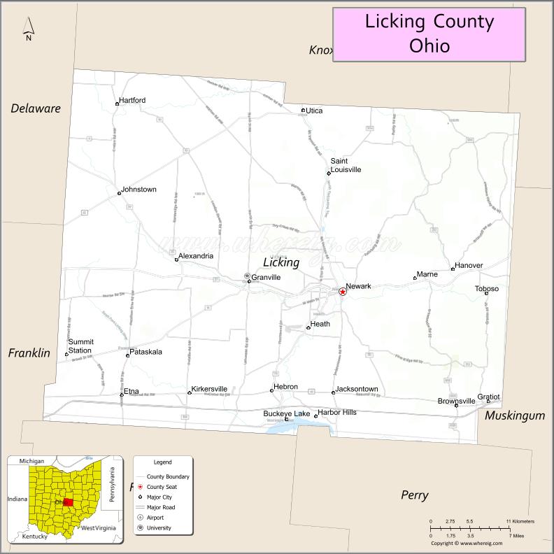
Licking County is a county located in the central portion of the U.S. state of Ohio. At the 2020 census, the population was 178,519. Its county seat is Newark. The county was formed on January 30, 1808, from portions of Fairfield County.
It is named after the Licking River, which is thought to be named for the salt licks that were in the area. However, one account explains it as an English pronunciation of the river’s indigenous Delaware name W’li/’ik’/nk, which means “where the flood waters recede”.
Licking County is part of the Columbus, OH Metropolitan Statistical Area.
| Name: | Licking County |
|---|---|
| FIPS code: | 39-089 |
| State: | Ohio |
| Founded: | March 1, 1808 |
| Seat: | Newark |
| Largest city: | Newark |
| Total Area: | 687 sq mi (1,780 km²) |
| Land Area: | 683 sq mi (1,770 km²) |
| Total Population: | 178,519 |
| Population Density: | 260/sq mi (100/km²) |
| Time zone: | UTC−5 (Eastern) |
| Summer Time Zone (DST): | UTC−4 (EDT) |
| Website: | www.lcounty.com |
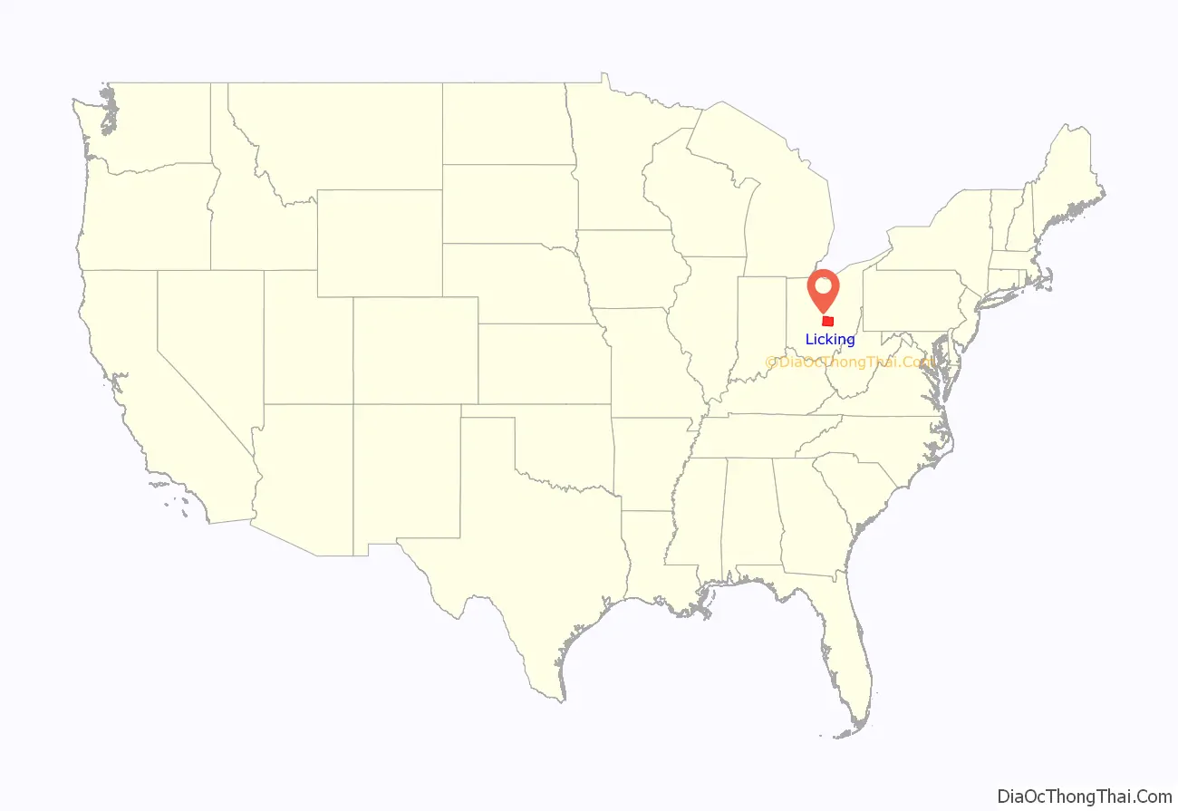
Licking County location map. Where is Licking County?
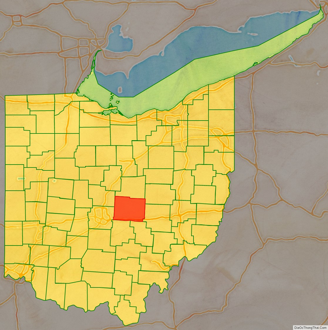
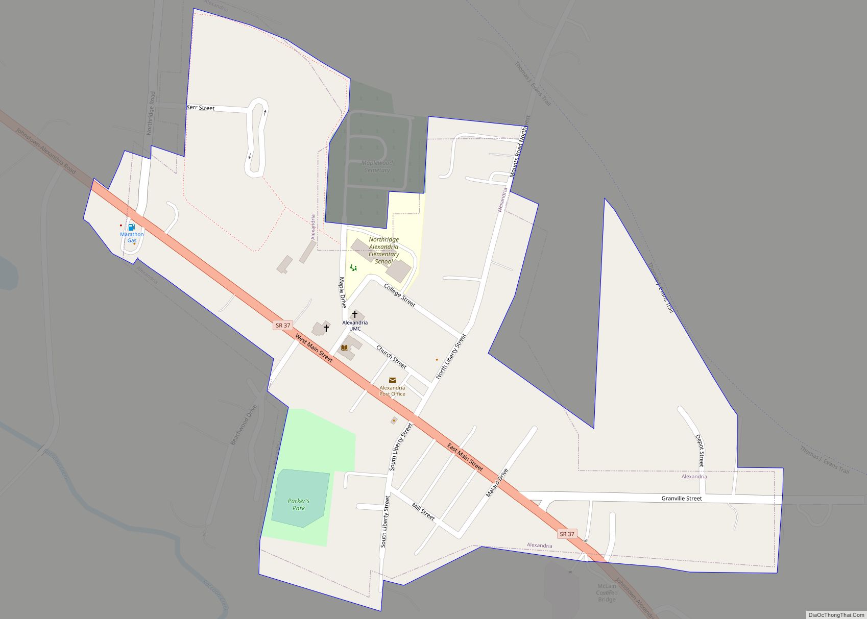
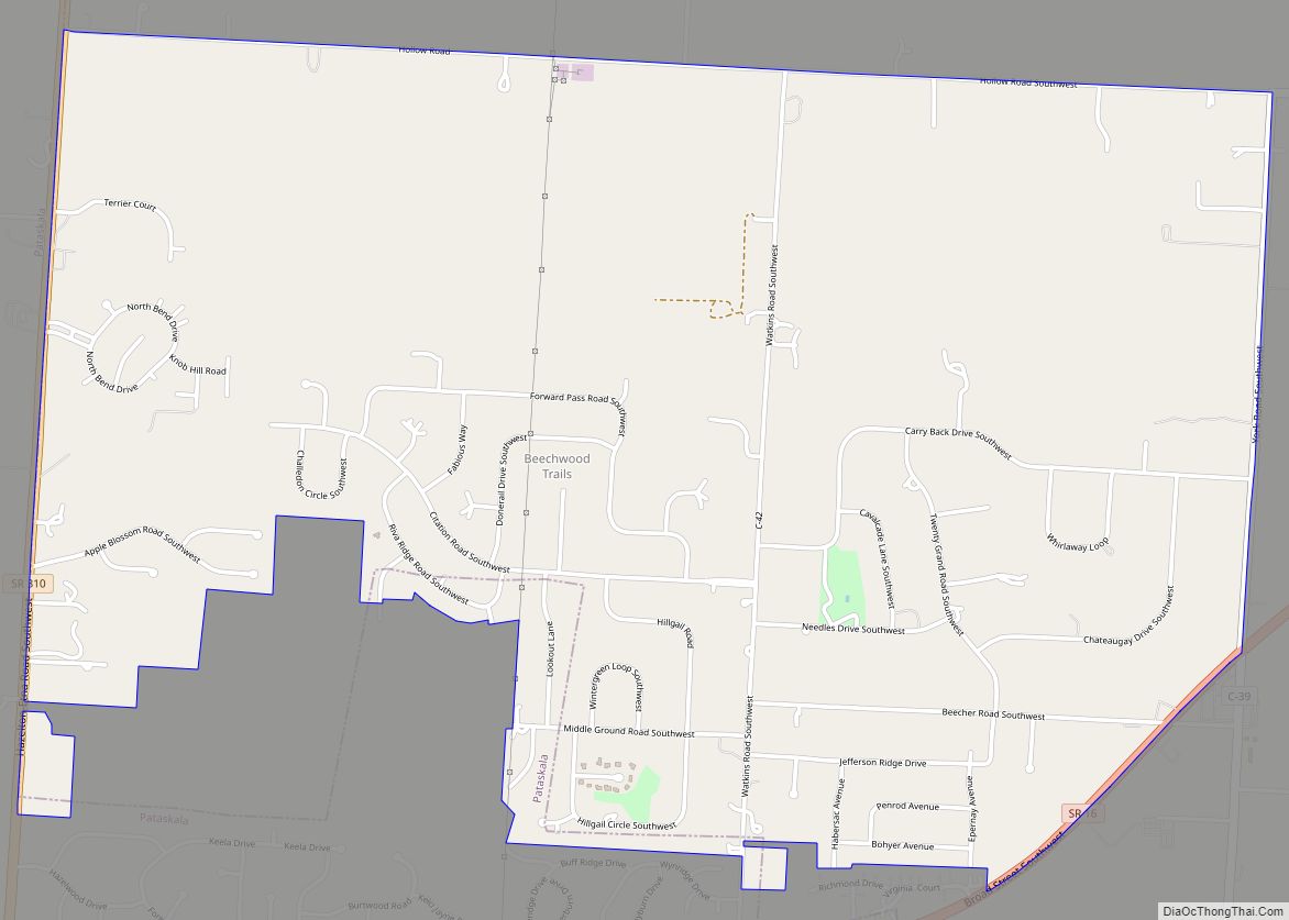
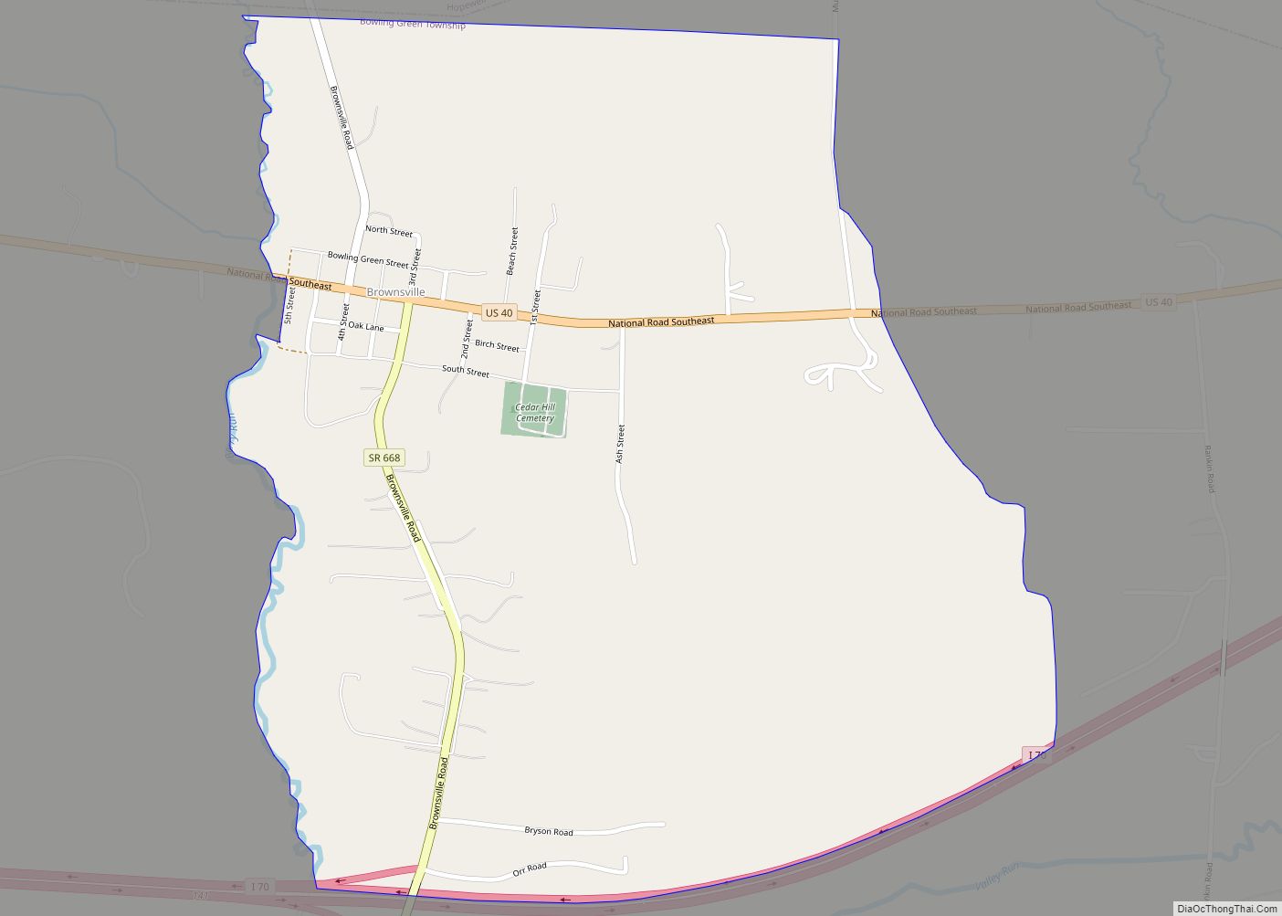
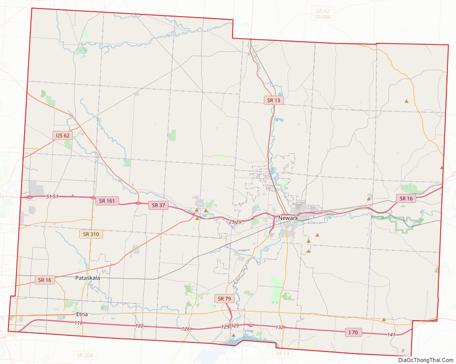
Licking County Road Map
Geography
According to the United States Census Bureau, the county has a total area of 687 square miles (1,780 km), of which 683 square miles (1,770 km) is land and 5.0 square miles (13 km) (0.7%) is water. It is the third-largest county in Ohio by land area.
Adjacent counties
- Knox County (north)
- Coshocton County (northeast)
- Muskingum County (east)
- Perry County (southeast)
- Fairfield County (southwest)
- Franklin County (west)
- Delaware County (northwest)
Major highways
- I-70
- US 40
- US 62
- SR 13
- SR 16
- SR 37
- SR 79
- SR 146
- SR 161
- SR 586
- SR 657
- SR 661
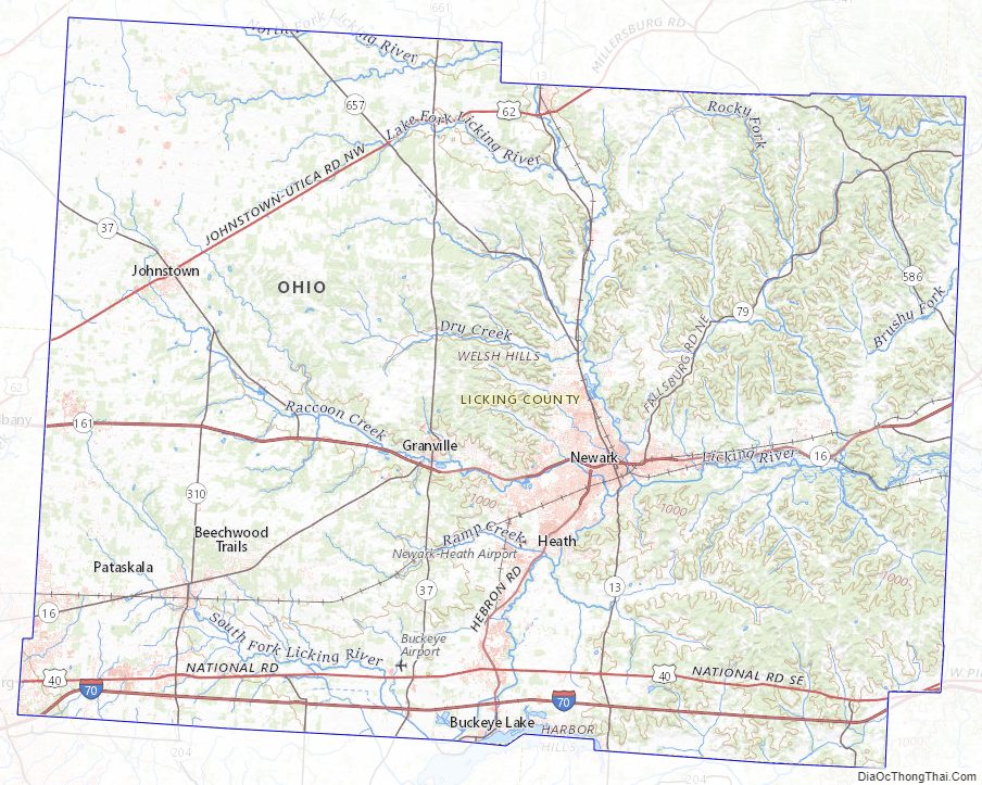
Licking County Topographic Map
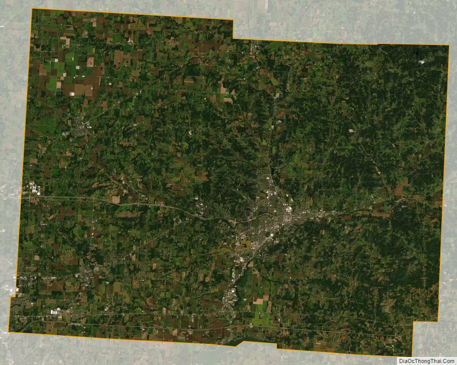
Licking County Satellite Map
Licking County Outline Map