Madison County is a county located in the U.S. state of Iowa. As of the 2020 census, the population was 16,548. The county seat is Winterset.
Madison County is included in the Des Moines–West Des Moines, IA Metropolitan Statistical Area.
Madison County is famous for being the county where John Wayne was born, and for a number of covered bridges. These bridges were featured in Robert James Waller’s 1992 novella The Bridges of Madison County, as well as the 1995 film and 2014 musical based on it.
| Name: | Madison County |
|---|---|
| FIPS code: | 19-121 |
| State: | Iowa |
| Founded: | 1846 |
| Named for: | James Madison |
| Seat: | Winterset |
| Largest city: | Winterset |
| Total Area: | 562 sq mi (1,460 km²) |
| Land Area: | 561 sq mi (1,450 km²) |
| Total Population: | 16,548 |
| Population Density: | 29/sq mi (11/km²) |
| Time zone: | UTC−6 (Central) |
| Summer Time Zone (DST): | UTC−5 (CDT) |
| Website: | madisoncounty.iowa.gov |
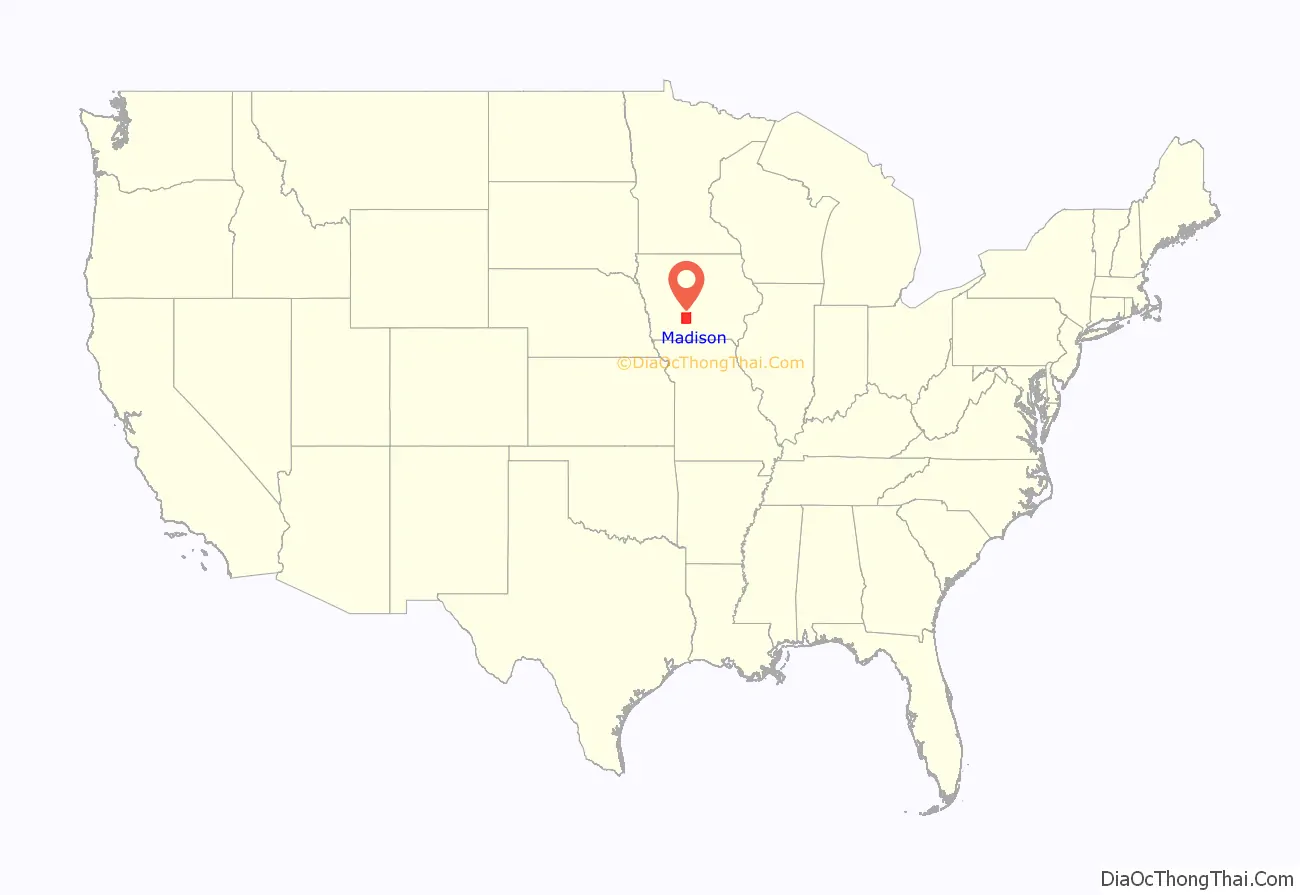
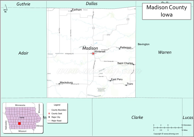
Madison County location map. Where is Madison County?
History
Madison County was formed on January 13, 1846. It has been self-governed since 1849. It was named after James Madison (1751–1836), the fourth President of the United States (between 1809 and 1817). Hiram Hurst was the first European -American settler in Madison County, having come from Missouri about April 15, 1846.
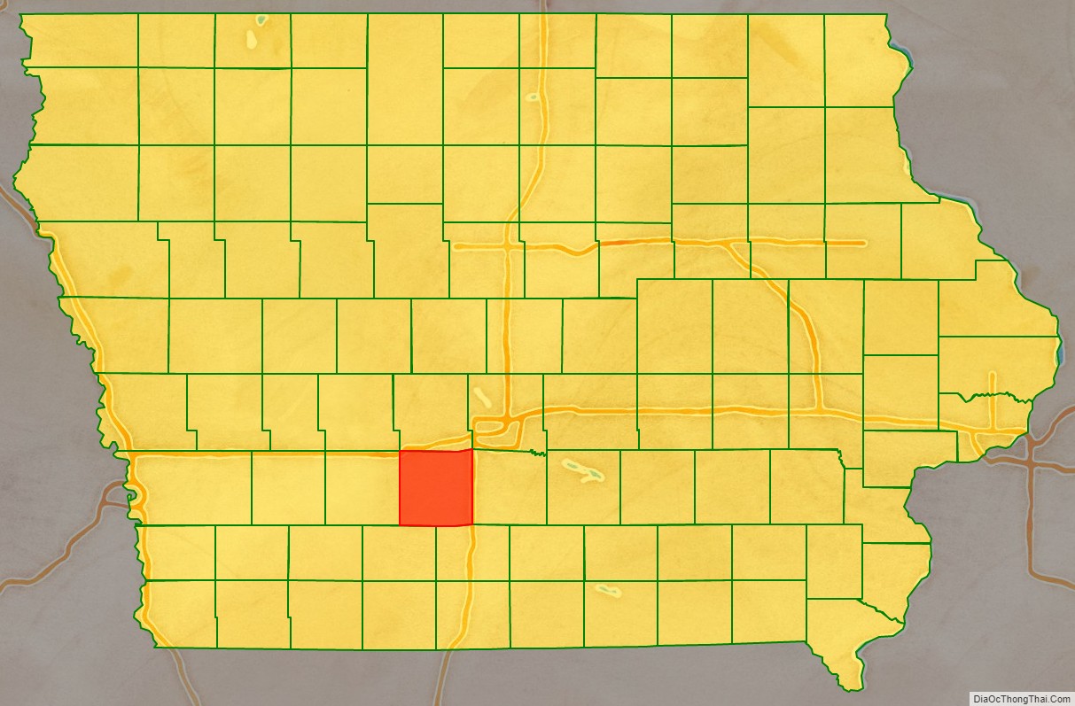
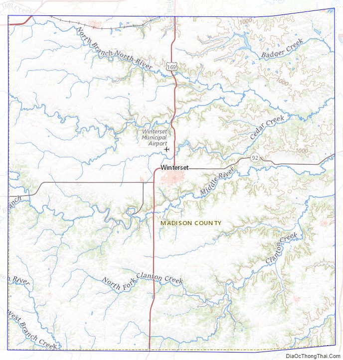
Madison County Road Map
Geography
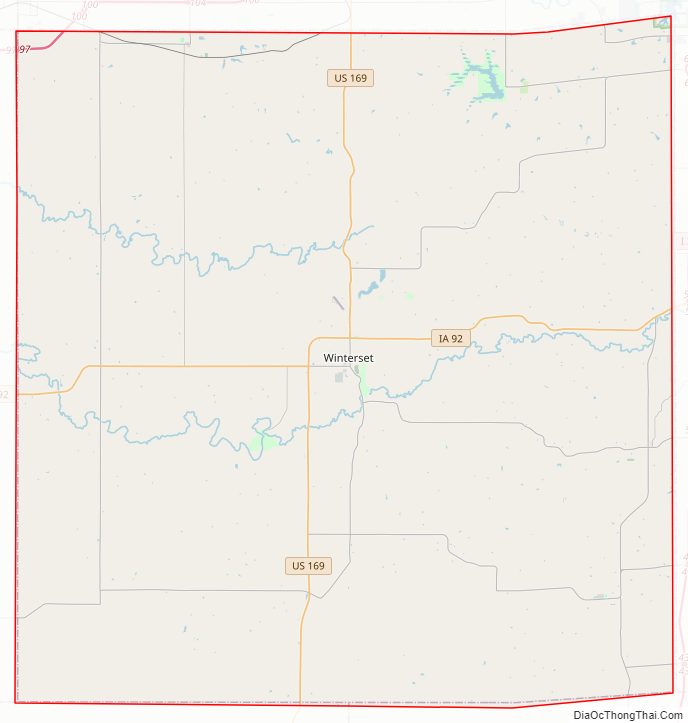
According to the U.S. Census Bureau, the county has a total area of 562 square miles (1,460 km), of which 561 square miles (1,450 km) is land and 1.2 square miles (3.1 km) (0.2%) is water.
Major highways
- Interstate 80 (in the far northwestern corner of the county)
- U.S. Highway 6
- U.S. Highway 169
- Iowa Highway 92
Adjacent counties
- Dallas County (north)
- Warren County (east)
- Clarke County (southeast)
- Union County (southwest)
- Adair County (west)
- Polk County (northeast)
Madison County Topographic Map
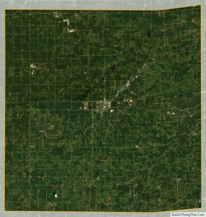
Madison County Satellite Map
Madison County Outline Map