Manassas (/məˈnæs əs/), formerly Manassas Junction, is an independent city in the Commonwealth of Virginia, United States. The population was 42,772 at the 2020 Census. It is the county seat of Prince William County, although the two are separate jurisdictions. Manassas borders the independent city of Manassas Park, Virginia. The Bureau of Economic Analysis includes both Manassas and Manassas Park with Prince William County for statistical purposes.
Manassas contains several historic sites dating from 1850 to 1870. Manassas surrounds the 38-acre (15-hectare) county courthouse, which is located on county property.
Manassas is part of the Washington-Arlington-Alexandria, DC-VA-MD-WV Metropolitan Statistical Area and is in the Northern Virginia region.
| Name: | Manassas City |
|---|---|
| FIPS code: | 51-683 |
| State: | Virginia |
| Named for: | Manasseh of Judah |
| Total Area: | 9.90 sq mi (25.64 km²) |
| Land Area: | 9.84 sq mi (25.49 km²) |
| Total Population: | 42,772 |
| Population Density: | 4,300/sq mi (1,700/km²) |
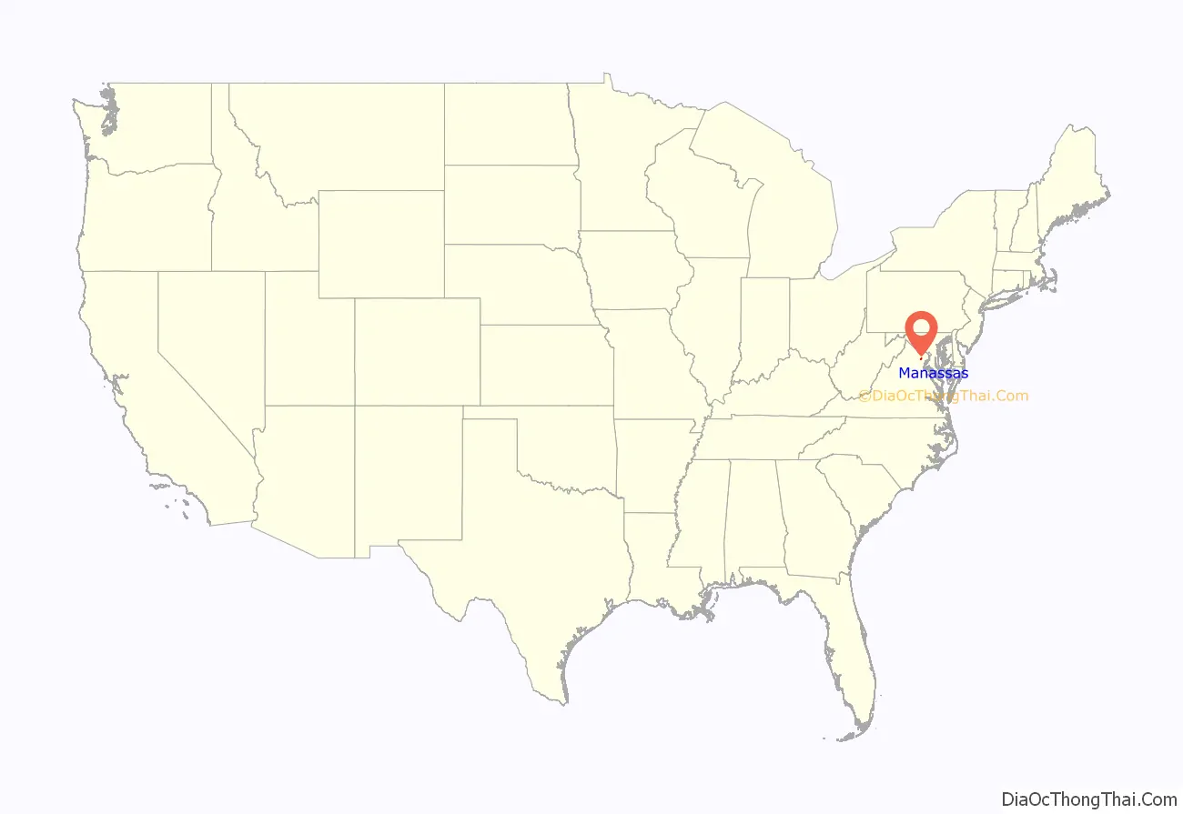
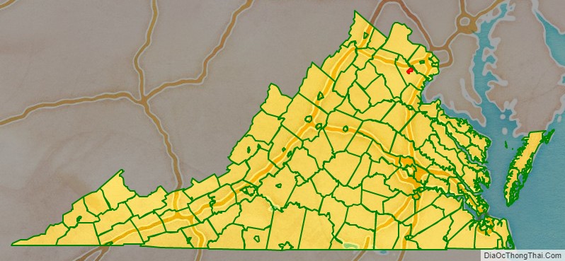
Manassas City location map. Where is Manassas City?
History
In July 1861, the First Battle of Bull Run—also known as the Battle of First Manassas —was fought nearby, the first major land battle of the American Civil War. Manassas commemorated its 150th anniversary on July 21–24, 2011.
The Second Battle of Bull Run (or the Battle of Second Manassas) was fought near Manassas on August 28–30, 1862. At that time, Manassas Junction was little more than a railroad crossing, but a strategic one, with rails leading to Richmond, Virginia, Washington, D.C., and the Shenandoah Valley. Despite these two Confederate victories, Manassas Junction was in Union hands for most of the war.
Following the war, the crossroads grew into the town of Manassas, which was incorporated in 1873. In 1894, Manassas was designated the county seat of Prince William County, replacing Brentsville. In 1975, Manassas was incorporated as an independent city, and as per Virginia law, was separated from Prince William County.
Manassas is home to Annaburg, built in 1892 by Robert Portner as a summer home. It is believed to be one of the first homes in the United States to have mechanical air conditioning. Annaburg was purchased by the City of Manassas in July 2019 to be restored and preserved as a public park.
The Manassas Historic District; Liberia, a plantation house; the Manassas Water Tower; the Cannon Branch Fort; the Mayfield Fortification; the Manassas Industrial School for Colored Youth; and Annaburg are listed on the National Register of Historic Places.
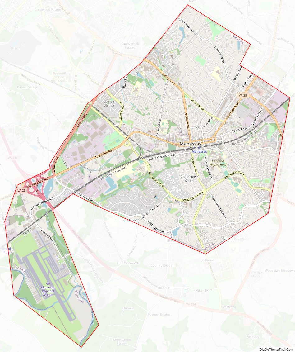
Manassas City Road Map
Geography
Manassas is mainly served by I-66, U.S. 29, Virginia State Route 234 Business and Virginia State Route 28.
According to the United States Census Bureau, the city has a total area of 9.9 square miles (25.6 km), of which 9.9 square miles (25.6 km) is land and 0.1 square miles (0.3 km) (0.5%) is water.
Climate
The climate in this area is characterized by hot, humid summers and generally mild to cool winters. According to the Köppen Climate Classification system, Manassas has a humid subtropical climate, abbreviated “Cfa” on climate maps. Average monthly temperatures range from 33.3 °F (0.7 °C) in January to 76.7 °F (24.8 °C) in July. The local hardiness zone is 7a.
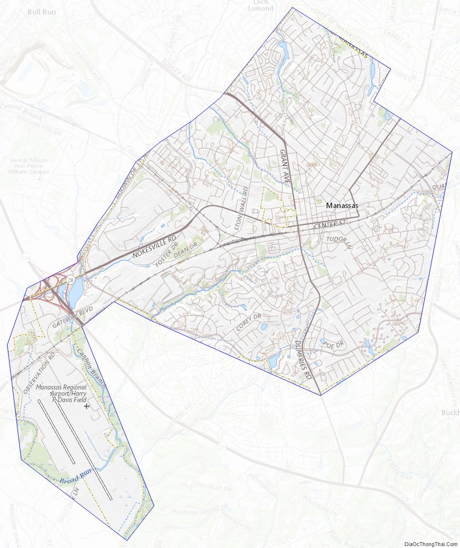
Manassas City Topographic Map
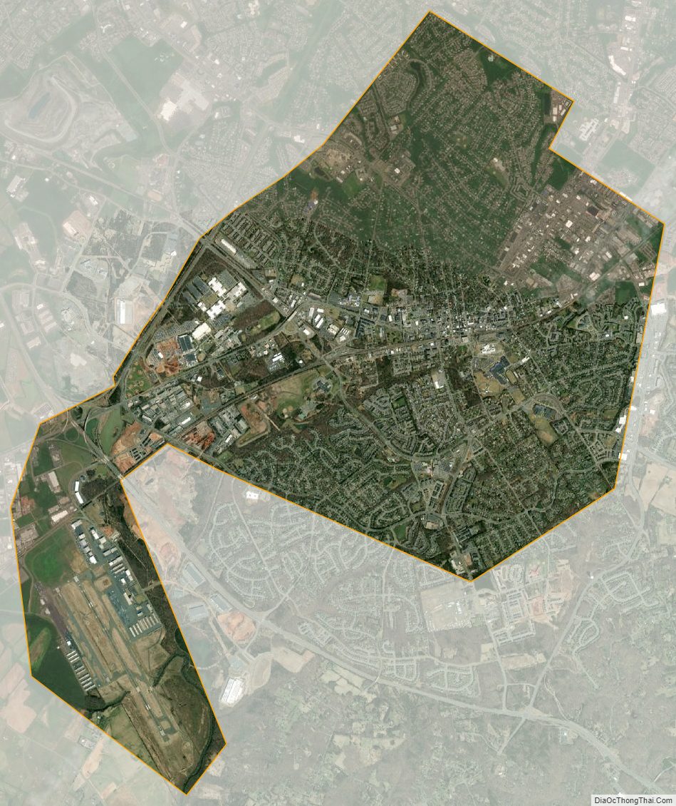
Manassas City Satellite Map
Manassas City Outline Map