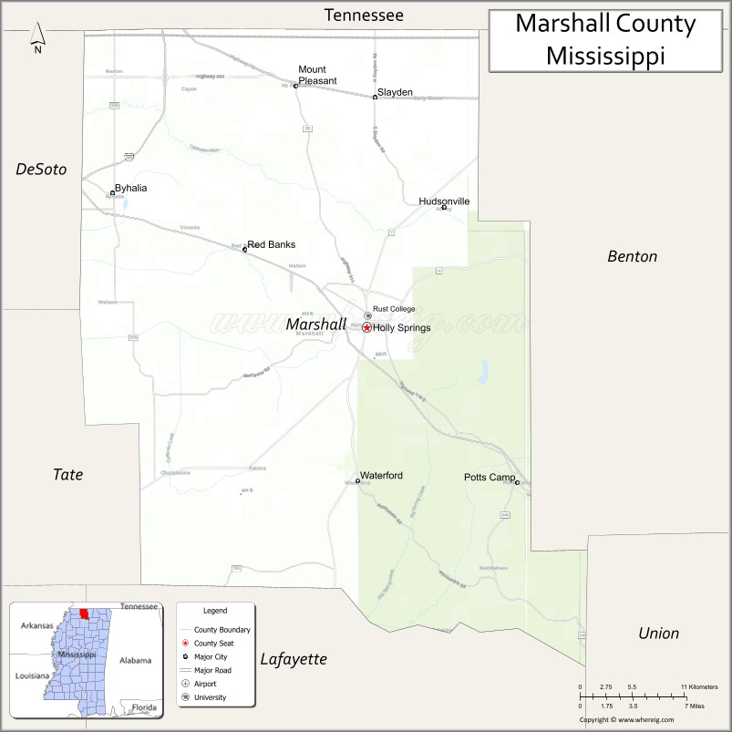
Marshall County is a county located on the north central border of the U.S. state of Mississippi. As of the 2020 census, the population was 33,752. Its county seat is Holly Springs. The county is named for Chief Justice of the United States John Marshall, who presided in the early nineteenth century.
Marshall County is part of the Memphis, TN-MS-AR Metropolitan Statistical Area.
| Name: | Marshall County |
|---|---|
| FIPS code: | 28-093 |
| State: | Mississippi |
| Founded: | 1836 |
| Named for: | John Marshall |
| Seat: | Holly Springs |
| Largest city: | Holly Springs |
| Total Area: | 710 sq mi (1,800 km²) |
| Land Area: | 706 sq mi (1,830 km²) |
| Total Population: | 33,752 |
| Population Density: | 48/sq mi (18/km²) |
| Time zone: | UTC−6 (Central) |
| Summer Time Zone (DST): | UTC−5 (CDT) |
| Website: | www.marshall-county.com |
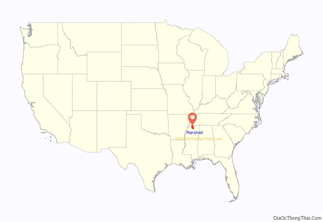
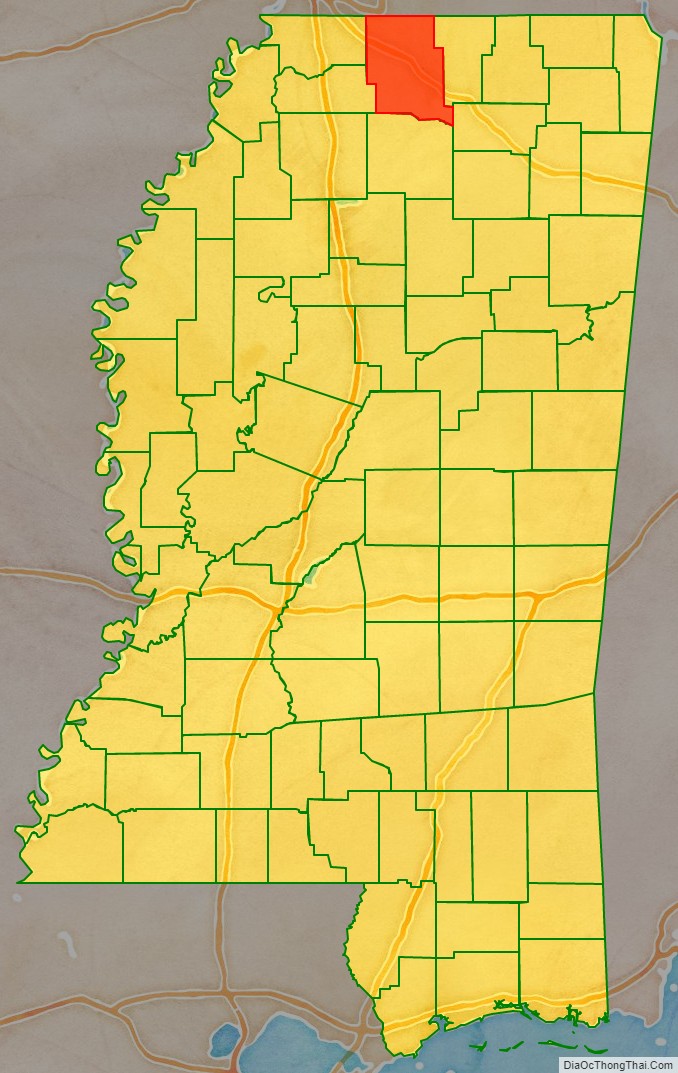
Marshall County location map. Where is Marshall County?
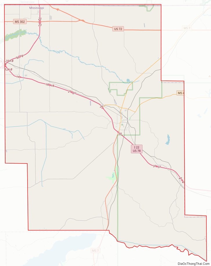
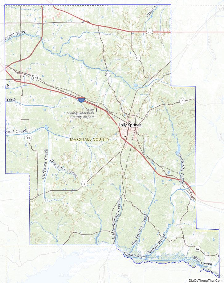
Marshall County Road Map
Geography
According to the U.S. Census Bureau, the county has a total area of 710 square miles (1,800 km), of which 706 square miles (1,830 km) is land and 3.6 square miles (9.3 km) (0.5%) is water.
Major highways
- Interstate 22
- Interstate 269
- U.S. Route 72
- U.S. Route 78
- Mississippi Highway 4
- Mississippi Highway 7
- Mississippi Highway 302
Adjacent counties
- Fayette County, Tennessee (north)
- Benton County (east)
- Union County (southeast)
- Lafayette County (south)
- Tate County (southwest)
- DeSoto County (west)
- Shelby County, Tennessee (northwest)
National protected area
- Holly Springs National Forest (part)
Marshall County Topographic Map
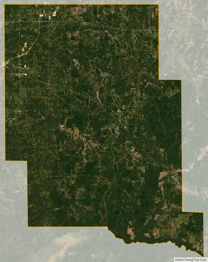
Marshall County Satellite Map
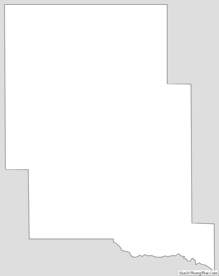
Marshall County Outline Map