Shelby County is the westernmost county in the U.S. state of Tennessee. As of the 2020 census, the population was 929,744. It is the largest of the state’s 95 counties, both in terms of population and geographic area. Its county seat is Memphis, a port on the Mississippi River and the second most populous city in Tennessee. The county was named for Governor Isaac Shelby (1750–1826) of Kentucky. It is one of only two remaining counties in Tennessee with a majority African American population, along with Haywood County.
Shelby County is part of the Memphis, TN-MS–AR Metropolitan Statistical Area. It is bordered on the west by the Mississippi River. Located within the Mississippi Delta, the county was developed as a center of cotton plantations in the antebellum era, and cotton continued as an important commodity crop well into the 20th century. The economy has become more diversified.
| Name: | Shelby County |
|---|---|
| FIPS code: | 47-157 |
| State: | Tennessee |
| Founded: | November 24, 1819 |
| Named for: | Isaac Shelby |
| Seat: | Memphis |
| Largest city: | Memphis |
| Total Area: | 785 sq mi (2,030 km²) |
| Land Area: | 763 sq mi (1,980 km²) |
| Total Population: | 929,744 |
| Population Density: | 1,194/sq mi (461/km²) |
| Time zone: | UTC−6 (Central) |
| Summer Time Zone (DST): | UTC−5 (CDT) |
| Website: | www.shelbycountytn.gov |
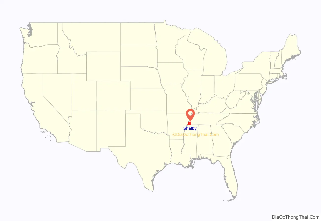
Shelby County location map. Where is Shelby County?
History
This area along the Mississippi River valley was long occupied by varying cultures of indigenous peoples. In historic times, the Chickasaw controlled much of this area. They are believed to be descendants of the important Mississippian culture, which established fortified and complex cities. The largest of these was Cahokia, which was active from about 950CE into the 15th century. It was developed on the east side of the Mississippi in present-day southern Illinois, roughly on the same latitude as present-day St. Louis, Missouri.
The Shelby County area was part of the lands acquired by the United States government from the Chickasaw as part of the Jackson Purchase of 1818. Shelby County was established by European-American migrants in 1819 and named for Isaac Shelby, the former governor of Kentucky who had helped negotiate the land acquisition. From 1827 to 1868, the county seat was located in then called Raleigh, Tennessee (now part of Memphis), on the Wolf River. After the American Civil War, in recognition of the growth of Memphis and its importance to the state economy, the seat was moved there. (Raleigh has now been absorbed within the city limits of Memphis.)
The lowlands in the Mississippi Delta, closest to the Mississippi River, were developed before the war for large cotton plantations; their laborers were overwhelmingly enslaved African Americans, whom planters transported from the east or purchased in the domestic slave trade. Well before the American Civil War, the population of the county was majority black, most of whom were slaves. Memphis developed as a major cotton market, with many brokers. After the war and emancipation, many freedmen stayed on these lands by working as sharecroppers.
Tennessee continued to have competitive politics after the freedmen were enfranchised. The eastern part of the state retained its Unionist leanings and supported the Republican Party. Blacks in the west also supported the Republican Party. Most conservative whites supported the Democrats. From 1877-1950, there were 20 lynchings of blacks by whites in Shelby County, the highest number of any county in the state.
Most blacks were disenfranchised around the turn of the century when the state passed laws raising barriers to voter registration; the legislature also imposed Jim Crow laws, including racial segregation of public facilities. Blacks were mostly closed out of the political system for more than six decades. In the 20th century, mechanization of agriculture reduced the need for farm workers at a time when industries and railroads in the North were recruiting workers. The Great Migration resulted in many African Americans moving from rural areas into Memphis or out of state to northern cities for work and social and political opportunities.
After World War II, highways were constructed that led to development of much new housing on the outskirts of Memphis where land was cheap. Suburbanization, with retail businesses following new residents, took place in the county, drawing population out of the city. With continued residential and suburban development, the population of the metropolitan area became majority white. Six towns in the county have become incorporated; other communities are unincorporated. Residents enjoy many parks in the area as well as attractions in the city of Memphis.
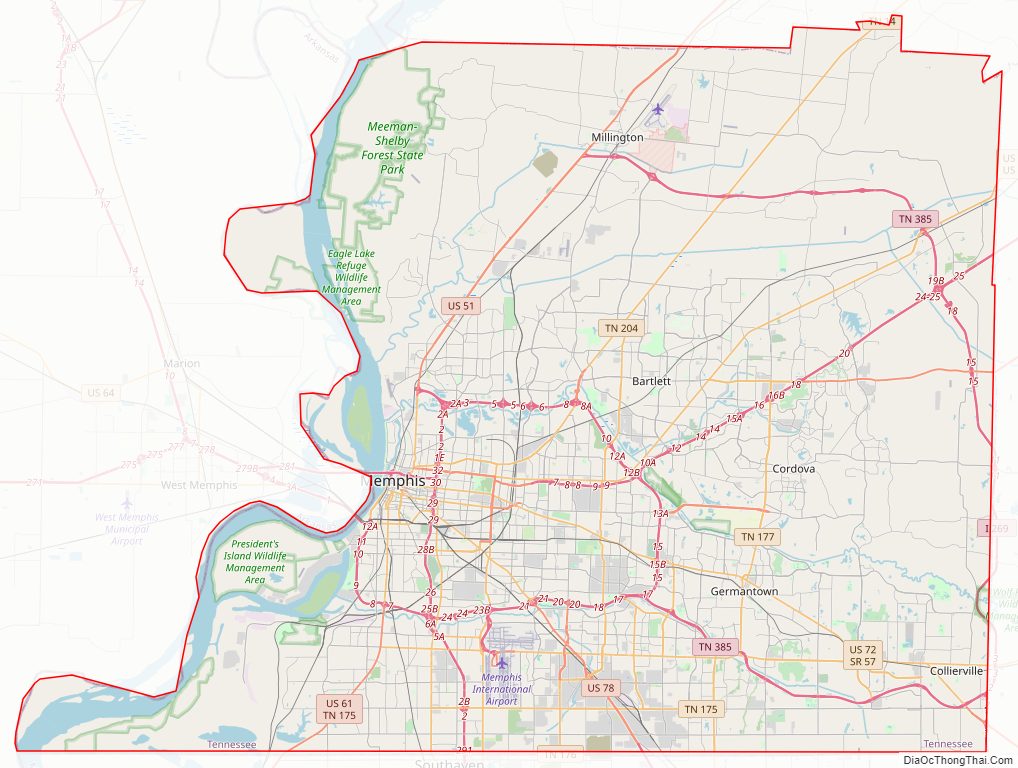
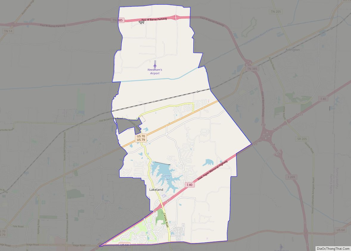
Shelby County Road Map
Geography
According to the U.S. Census Bureau, the county has a total area of 785 square miles (2,030 km), of which 763 square miles (1,980 km) is land and 22 square miles (57 km) (2.8%) is water. It is the largest county in Tennessee by area. The lowest point in the state of Tennessee is located on the Mississippi River in Shelby County (just outside the Memphis city limits), where the river flows out of Tennessee and into Mississippi.
Rivers
- Loosahatchie River
- Mississippi River
- Nonconnah Creek
- Wolf River
Adjacent counties
- Tipton County (north)
- Fayette County (east)
- Marshall County, Mississippi (southeast)
- DeSoto County, Mississippi (south)
- Crittenden County, Arkansas (west)
