Holly Springs is a city in, and the county seat of, Marshall County, Mississippi, United States, near the border with Tennessee to the north. Along with the Mississippi Delta, in the 19th century, the area was developed by European Americans for cotton plantations. After the Civil War, many freedmen continued to work in agriculture as sharecroppers and tenant farmers.
As the county seat, the city is a center of trade and court sessions. The population was 7,699 at the 2010 census, which, compared to the 2000 census, was a decrease. Holly Springs has several National Register of Historic Places-listed properties and historic districts, including Southwest Holly Springs Historic District, Holly Springs Courthouse Square Historic District, Depot-Compress Historic District, and East Holly Springs Historic District. Hillcrest Cemetery contains the graves of five Confederate generals, and has been called “Little Arlington of the South”.
| Name: | Holly Springs city |
|---|---|
| LSAD Code: | 25 |
| LSAD Description: | city (suffix) |
| State: | Mississippi |
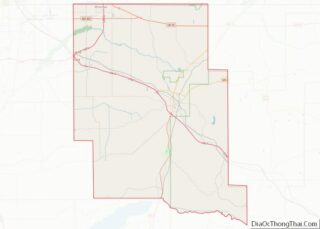
| County: | Marshall County |
| Elevation: | 600 ft (183 m) |
| Total Area: | 12.80 sq mi (33.14 km²) |
| Land Area: | 12.78 sq mi (33.09 km²) |
| Water Area: | 0.02 sq mi (0.05 km²) |
| Total Population: | 6,968 |
| Population Density: | 545.35/sq mi (210.56/km²) |
| ZIP code: | 38634, 38635, 38649 |
| Area code: | 662 |
| FIPS code: | 2833100 |
| GNISfeature ID: | 0693510 |
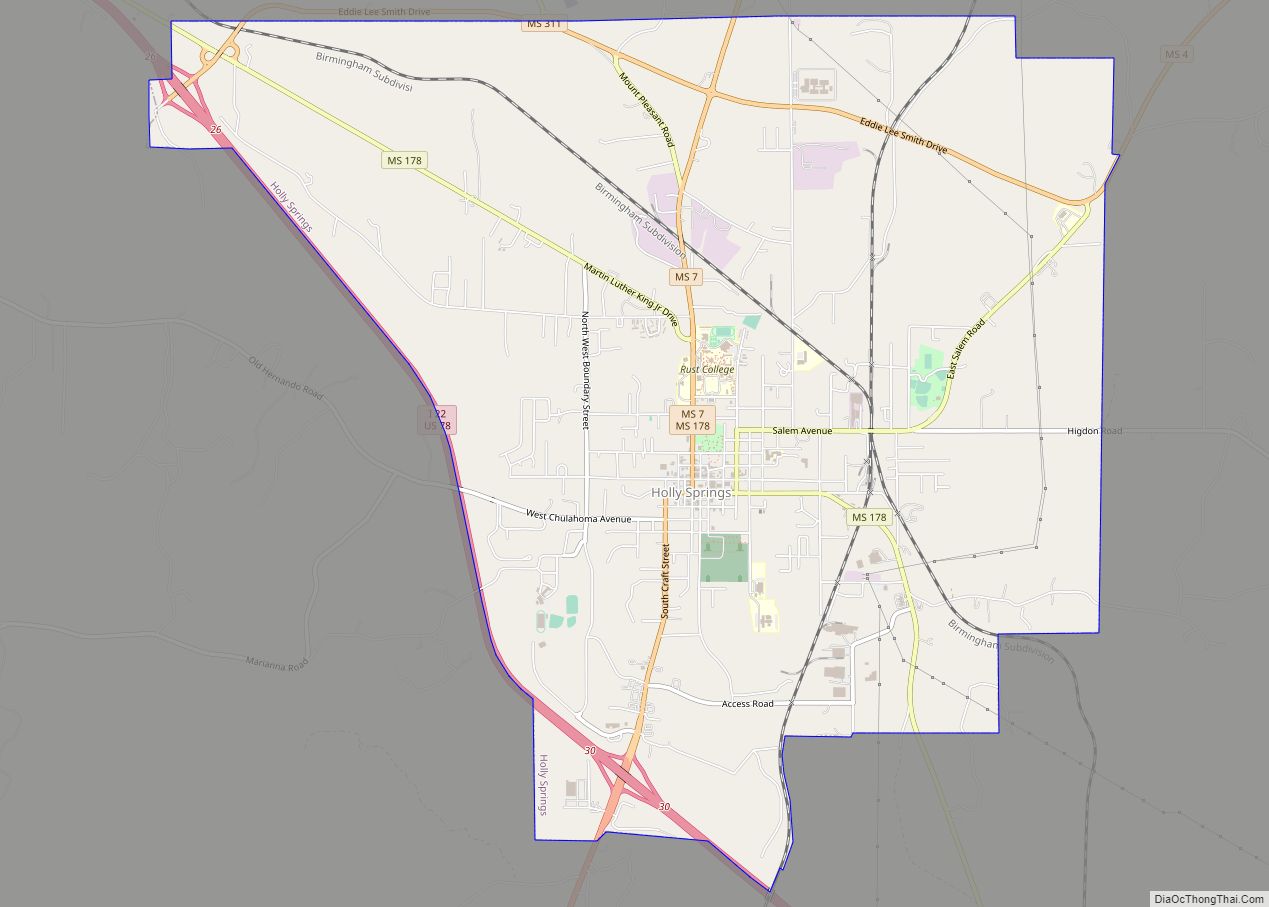
Online Interactive Map
Click on ![]() to view map in "full screen" mode.
to view map in "full screen" mode.
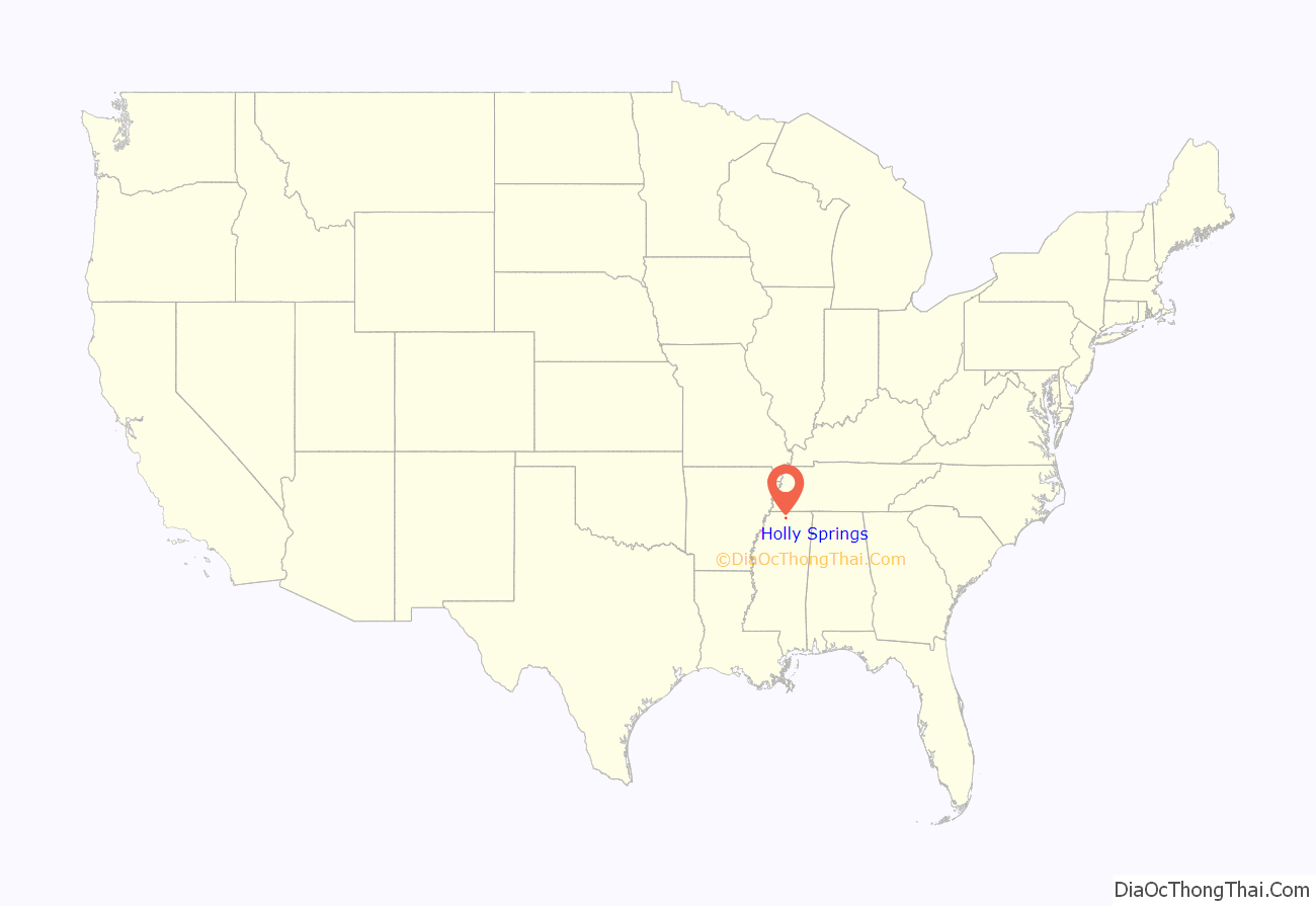
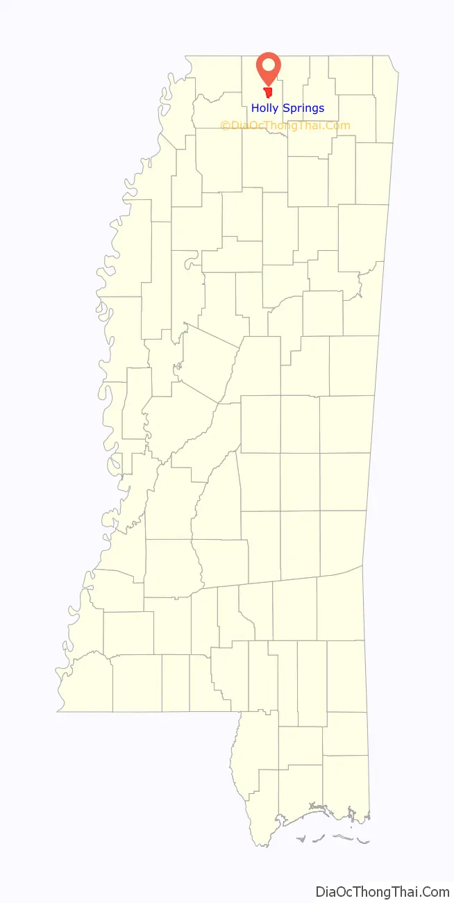
Holly Springs location map. Where is Holly Springs city?
History
European Americans founded Holly Springs in 1836 on territory occupied by Chickasaw Indians for centuries before Indian Removal. Most of their land was ceded under the Treaty of Pontotoc Creek of 1832. Many early U.S. migrants were from Virginia, supplemented by migrants from Georgia and the Carolinas.
In 1836, the city had 4,000 European-American residents. A year later, records show that 40 residents were lawyers, and there were six physicians by 1838. By 1837, the town already had “twenty dry goods stores, two drugstores, three banks, several hotels, and over ten saloons.” It is also home to Hillcrest Cemetery, built on land settler William S. Randolph gave the city in 1837.
Newcomers established the Chalmers Institute, later known as the University of Holly Springs, Mississippi’s oldest university.
The area was developed with extensive cotton plantations dependent on the labor of enslaved African Americans. Many had been transported from the Upper South in the domestic slave trade, breaking up families. The settlement served as a trading center for the neighboring cotton plantations. In 1837, it was made seat of the newly created Marshall County, named for John Marshall, the United States Supreme Court justice. The town developed a variety of merchants and businesses to support the plantations. Its population into the early twentieth century included a community of Jewish merchants, whose ancestors were immigrants from eastern Europe in the 19th century. The cotton industry suffered in the crisis of 1840, but soon recovered.
By 1855 Holly Springs was connected to Grand Junction, Tennessee, by the Mississippi Central Railway. In ensuing years, the line was completed to the south of Hill Springs. Toward the end of the 19th century, the Kansas City, Memphis and Birmingham Railroad was constructed to intersect this line in Holly Springs.
During the American Civil War, Union General Ulysses S. Grant temporarily used Holly Springs as a supply depot and headquarters. He was mounting an effort to take the city of Vicksburg. Confederate Earl Van Dorn led the successful Holly Springs Raid on the town in December 1862, destroying most of the Union supplies at the Confederate Armory Site. The campus of the Holly Springs Female Institute, which had been open since 1836, was also burned, forcing it to permanently close. Grant eventually succeeded in ending the siege of Vicksburg with a Union victory.
In 1878, Holly Springs suffered a yellow fever epidemic, part of a regional epidemic that spread through the river towns. 1,400 residents became ill and 300 died. The Marshall County Courthouse, at the center of Holly Springs’s square, was used as a hospital during the epidemic.
After the war and emancipation, many freedmen stayed in the area, working as sharecroppers on former plantations. There were tensions after the war. As agriculture was mechanized in the early 20th century, there were fewer farm labor jobs. From 1900 to 1910, a quarter of the population left the city. Many blacks moved to the North in the Great Migration to escape southern oppression and seek employment in northern factories. The invasion of boll weevils in the 1920s and 1930s, which occurred across the South, destroyed the cotton crops and caused economic problems on top of the Great Depression. Some light industry developed in the area. After World War II, most industries moved to the major cities of Memphis, Tennessee and Birmingham, Alabama.
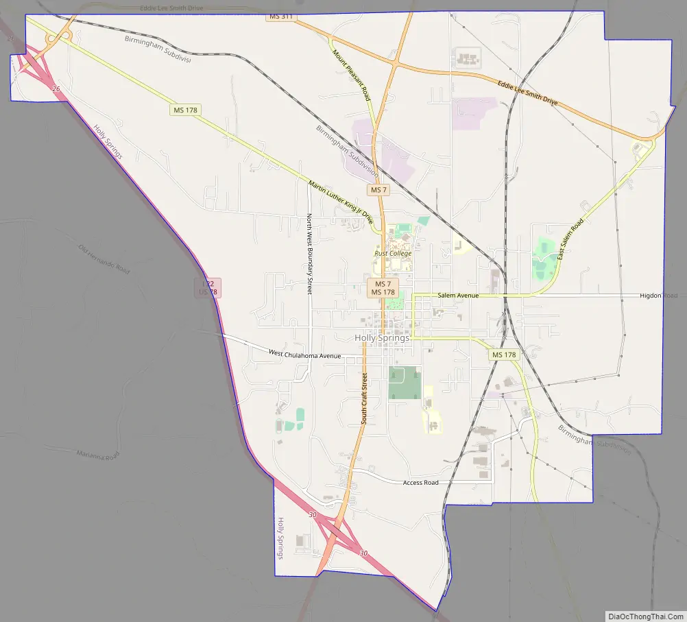
Holly Springs Road Map
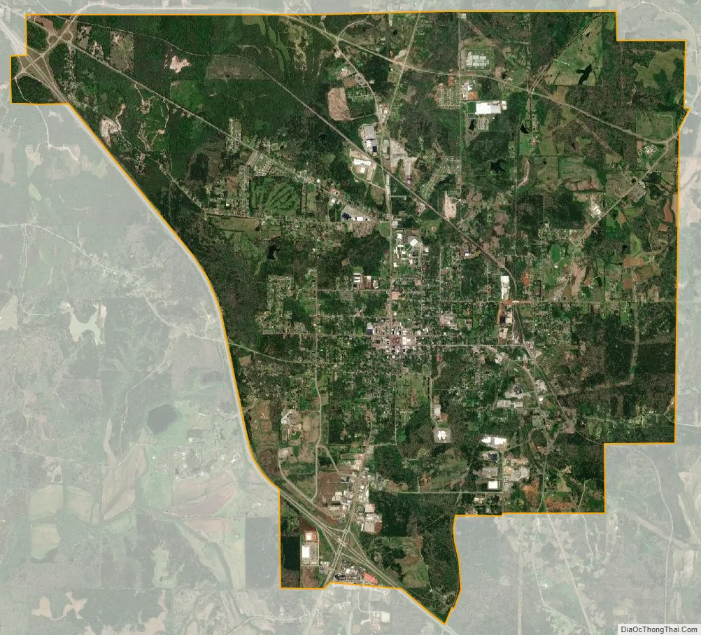
Holly Springs city Satellite Map
Geography
According to the United States Census Bureau, the city has an area of 12.7 square miles (33 km), of which 12.7 square miles (33 km) is land and 0.04 square miles (0.10 km) (0.16%) is water.
Climate
Holly Spring’s climate is characterized by hot, humid summers and generally mild to cool winters. According to the Köppen Climate Classification system, Holly Springs has a humid subtropical climate. On December 23, 2015, a massive EF4 tornado struck the town around 6:00 pm, causing significant damage. James Richard Anderson, the Marshall County coroner, confirmed the boy’s death. Nearly 200 Marshall County structures were damaged during the tornado, some totally.
See also
Map of Mississippi State and its subdivision:- Adams
- Alcorn
- Amite
- Attala
- Benton
- Bolivar
- Calhoun
- Carroll
- Chickasaw
- Choctaw
- Claiborne
- Clarke
- Clay
- Coahoma
- Copiah
- Covington
- Desoto
- Forrest
- Franklin
- George
- Greene
- Grenada
- Hancock
- Harrison
- Hinds
- Holmes
- Humphreys
- Issaquena
- Itawamba
- Jackson
- Jasper
- Jefferson
- Jefferson Davis
- Jones
- Kemper
- Lafayette
- Lamar
- Lauderdale
- Lawrence
- Leake
- Lee
- Leflore
- Lincoln
- Lowndes
- Madison
- Marion
- Marshall
- Monroe
- Montgomery
- Neshoba
- Newton
- Noxubee
- Oktibbeha
- Panola
- Pearl River
- Perry
- Pike
- Pontotoc
- Prentiss
- Quitman
- Rankin
- Scott
- Sharkey
- Simpson
- Smith
- Stone
- Sunflower
- Tallahatchie
- Tate
- Tippah
- Tishomingo
- Tunica
- Union
- Walthall
- Warren
- Washington
- Wayne
- Webster
- Wilkinson
- Winston
- Yalobusha
- Yazoo
- Alabama
- Alaska
- Arizona
- Arkansas
- California
- Colorado
- Connecticut
- Delaware
- District of Columbia
- Florida
- Georgia
- Hawaii
- Idaho
- Illinois
- Indiana
- Iowa
- Kansas
- Kentucky
- Louisiana
- Maine
- Maryland
- Massachusetts
- Michigan
- Minnesota
- Mississippi
- Missouri
- Montana
- Nebraska
- Nevada
- New Hampshire
- New Jersey
- New Mexico
- New York
- North Carolina
- North Dakota
- Ohio
- Oklahoma
- Oregon
- Pennsylvania
- Rhode Island
- South Carolina
- South Dakota
- Tennessee
- Texas
- Utah
- Vermont
- Virginia
- Washington
- West Virginia
- Wisconsin
- Wyoming