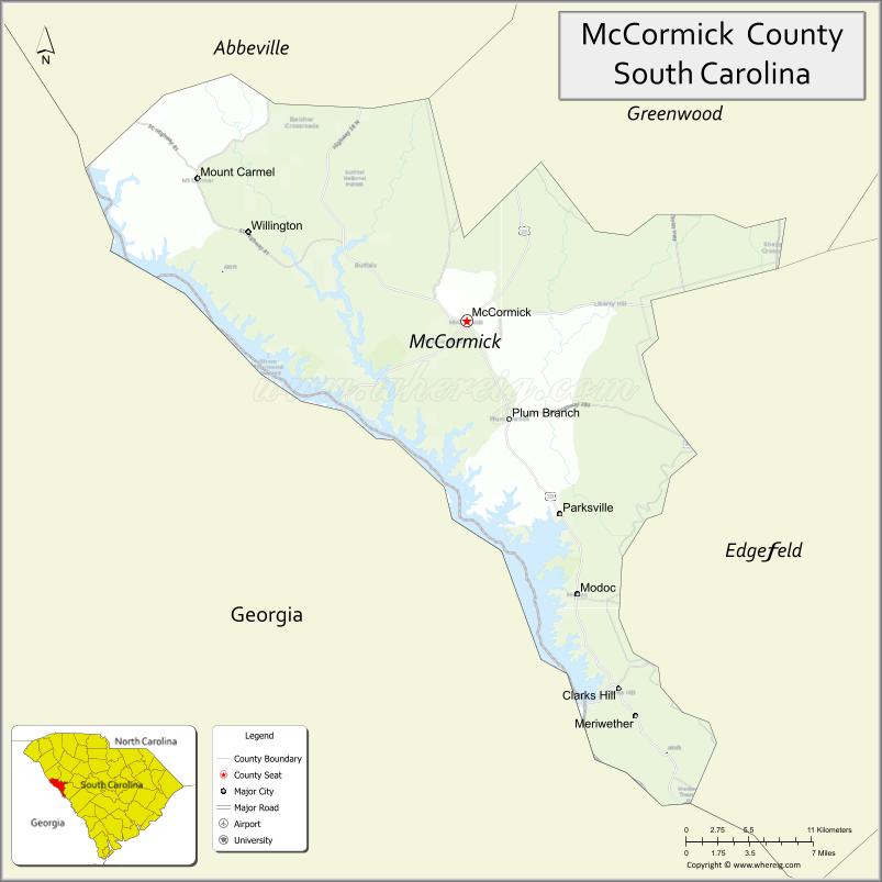
McCormick County is a county located in the U.S. state of South Carolina. As of the 2020 census, its population was 9,526, making it the second least-populous county in South Carolina. Its county seat is McCormick. The county was formed in 1916 from parts of Edgefield, Abbeville, and Greenwood Counties.
| Name: | McCormick County |
|---|---|
| FIPS code: | 45-065 |
| State: | South Carolina |
| Founded: | 1916 |
| Named for: | Cyrus McCormick |
| Seat: | McCormick |
| Largest town: | McCormick |
| Total Area: | 394 sq mi (1,020 km²) |
| Land Area: | 359 sq mi (930 km²) |
| Total Population: | 9,526 |
| Population Density: | 27.2/sq mi (10.5/km²) |
| Time zone: | UTC−5 (Eastern) |
| Summer Time Zone (DST): | UTC−4 (EDT) |
| Website: | mccormickcountysc.org |
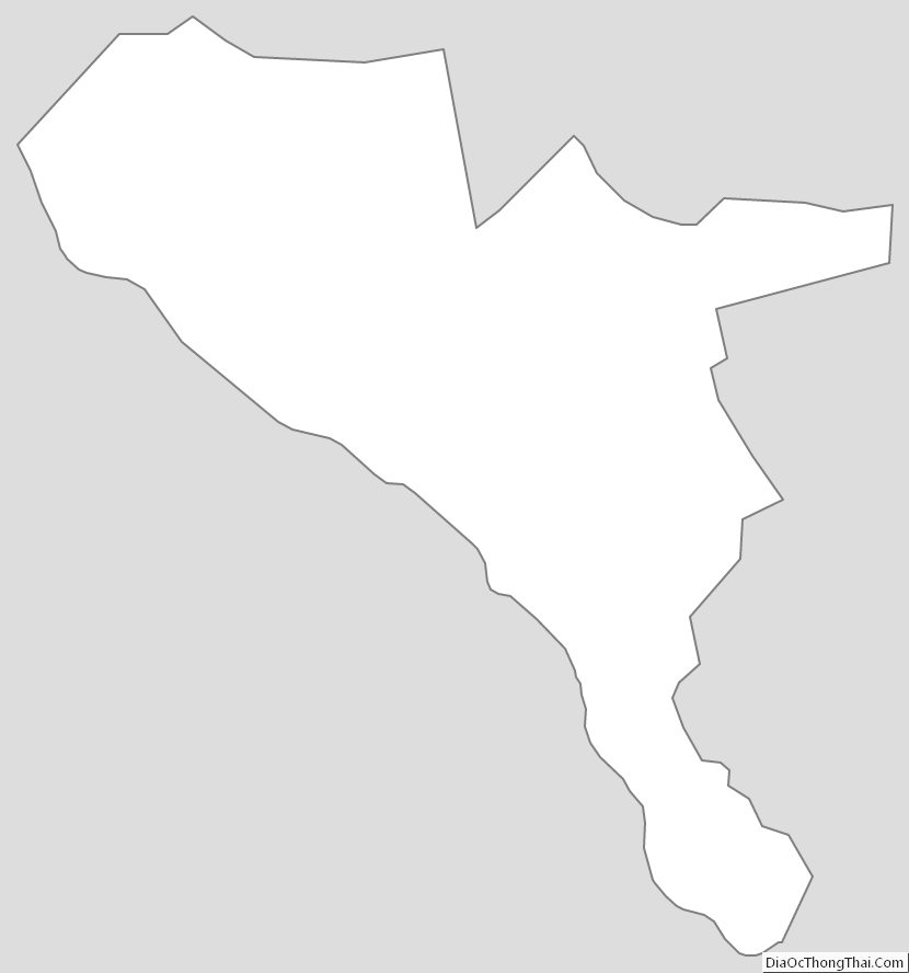
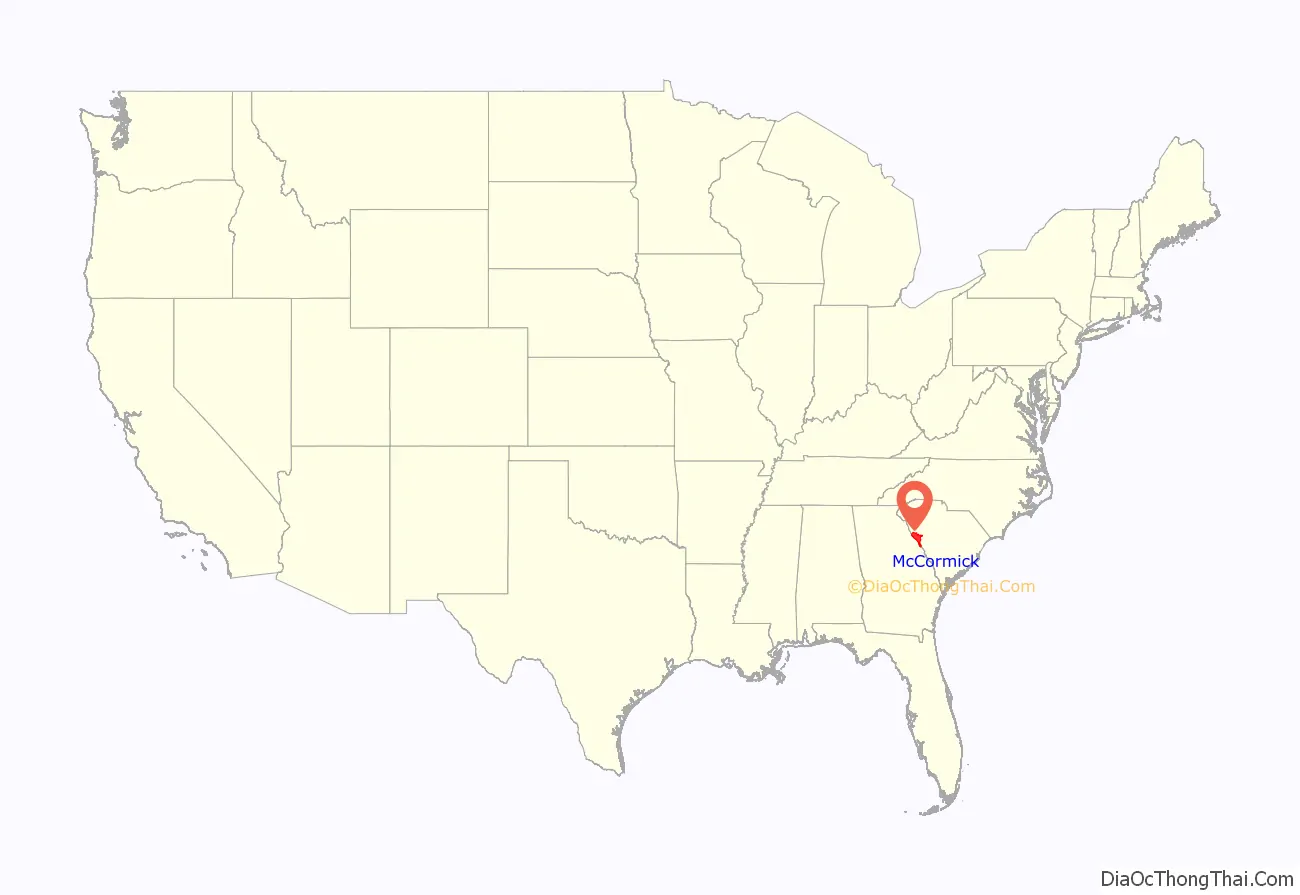
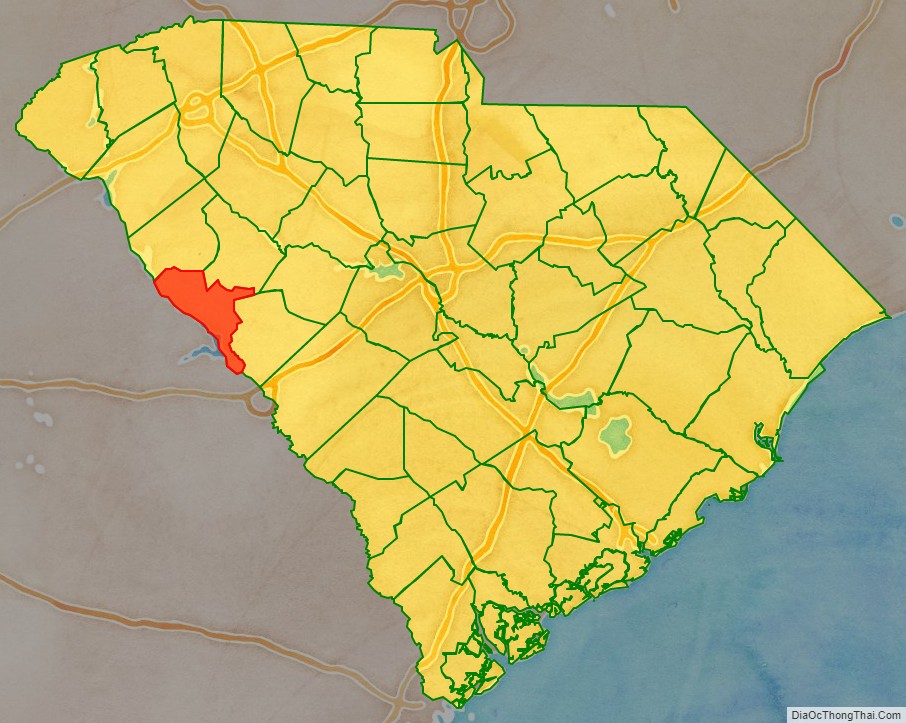
McCormick County location map. Where is McCormick County?
History
The county was founded in 1916 and was named after Cyrus McCormick. The largest town and county seat is McCormick.
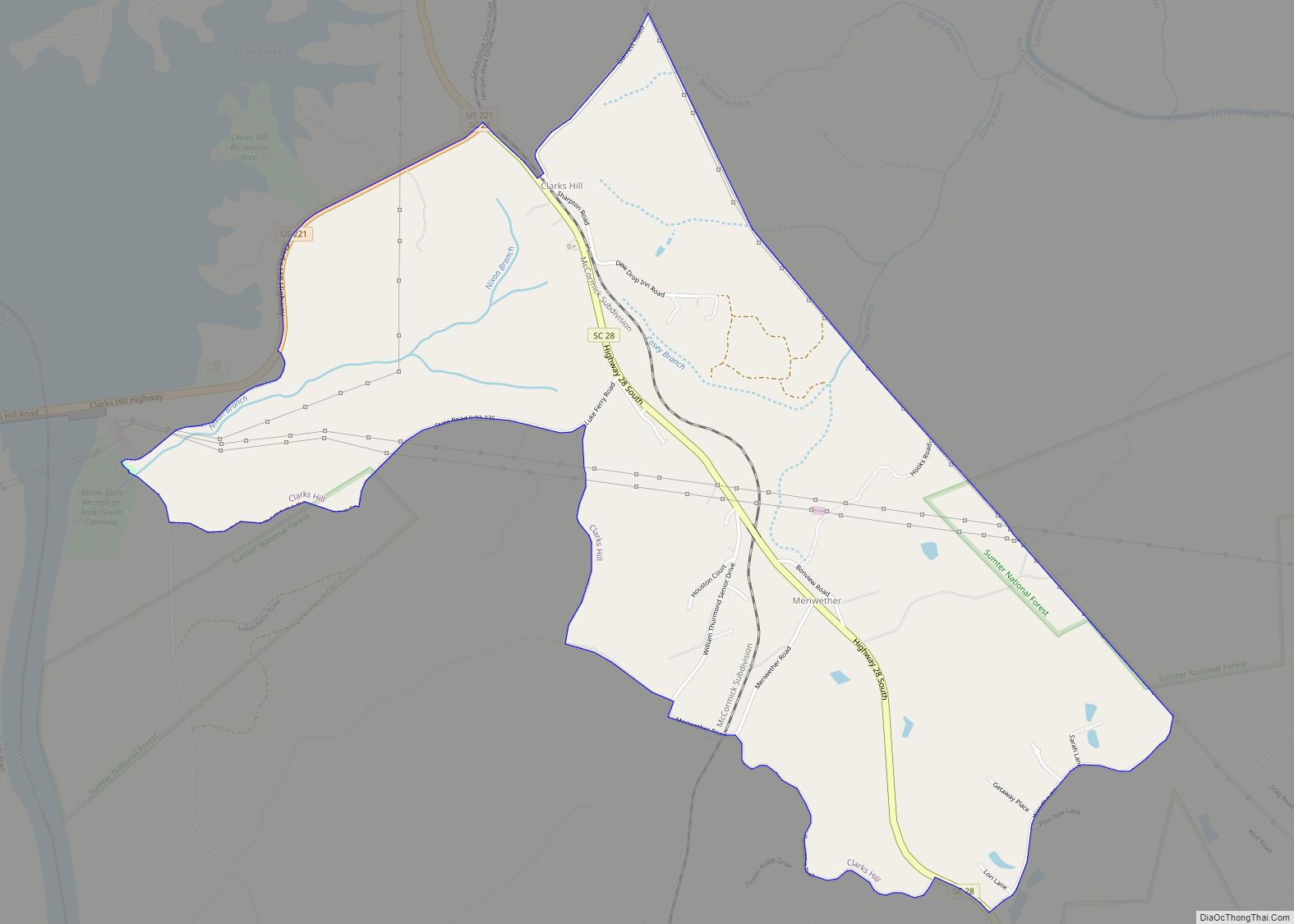
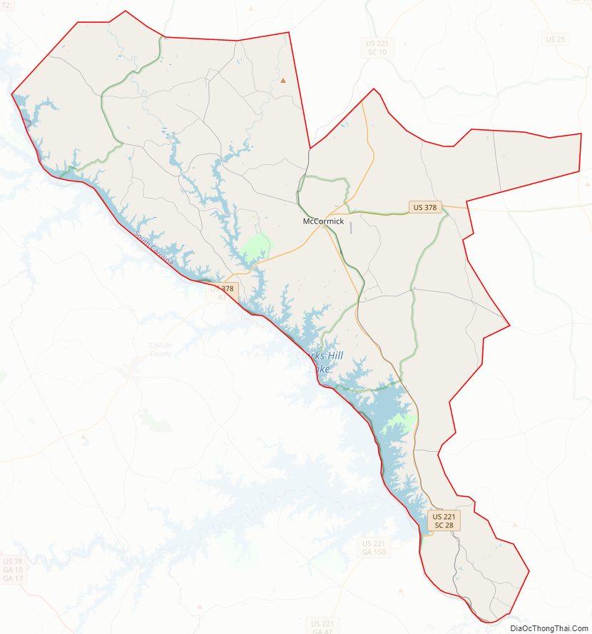
McCormick County Road Map
Geography
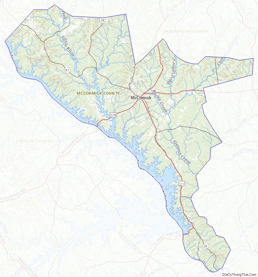
According to the U.S. Census Bureau, the county has a total area of 394 square miles (1,020 km), of which 359 square miles (930 km) is land and 35 square miles (91 km) (8.8%) is water. It is the smallest county in South Carolina by land area and second-smallest by total area. McCormick County is in the Savannah River basin.
National protected area
- Sumter National Forest (part)
State and local protected areas/sites
- Baker Creek State Park
- Eden Hall
- Hamilton Branch State Recration Area
- Hickory Knob State Resort Park
- Leroys Ferry Recreation Area
- Long Cane Creek Picnic Area
- Parksville Recreation Area
- Price’s Mill
- Savannah Lakes Beach
- Steven’s Creek Heritage Preserve (part)
Major water bodies
- Clarks Hill Lake
- Savannah River
- Steven Creek
Adjacent Counties
- Greenwood County – northeast
- Edgefield County – east
- Columbia County, Georgia – south
- Lincoln County, Georgia – west
- Elbert County, Georgia – northwest
- Abbeville County – northwest
Major highways
- US 221
- US 378
- SC 10
- SC 23
- SC 28
- SC 81
- SC 283
- SC 823
McCormick County Topographic Map
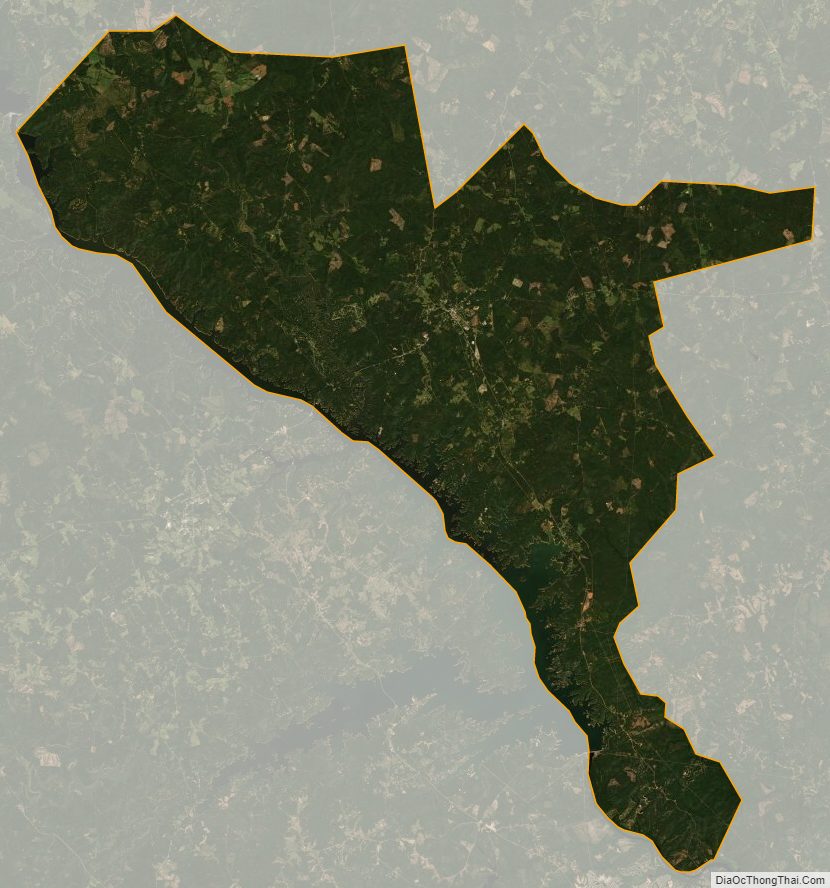
McCormick County Satellite Map
McCormick County Outline Map