Modoc is a census-designated place (CDP) in McCormick County, South Carolina, United States. The population was 256 at the 2000 census, and 218 at the 2010 census, a decline of 14.8%.
The Modoc CDP was named for the Modoc indigenous tribe of Northern California, some members of which had been captured after the Modoc War. They were sent, first to the Indian Territory (now Oklahoma) and then, a few, on to an area on the left (east) bank of the Savannah River in what was then Edgefield County, South Carolina. The 1930 Census of the township of Modoc, by then in McCormick County, had no listings of any “Indians”.
| Name: | Modoc CDP |
|---|---|
| LSAD Code: | 57 |
| LSAD Description: | CDP (suffix) |
| State: | South Carolina |
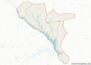
| County: | McCormick County |
| Elevation: | 400 ft (122 m) |
| Total Area: | 7.17 sq mi (18.57 km²) |
| Land Area: | 3.98 sq mi (10.32 km²) |
| Water Area: | 3.19 sq mi (8.26 km²) |
| Total Population: | 312 |
| Population Density: | 78.31/sq mi (30.24/km²) |
| ZIP code: | 29838 |
| Area code: | 864 |
| FIPS code: | 4547050 |
| GNISfeature ID: | 1246704 |
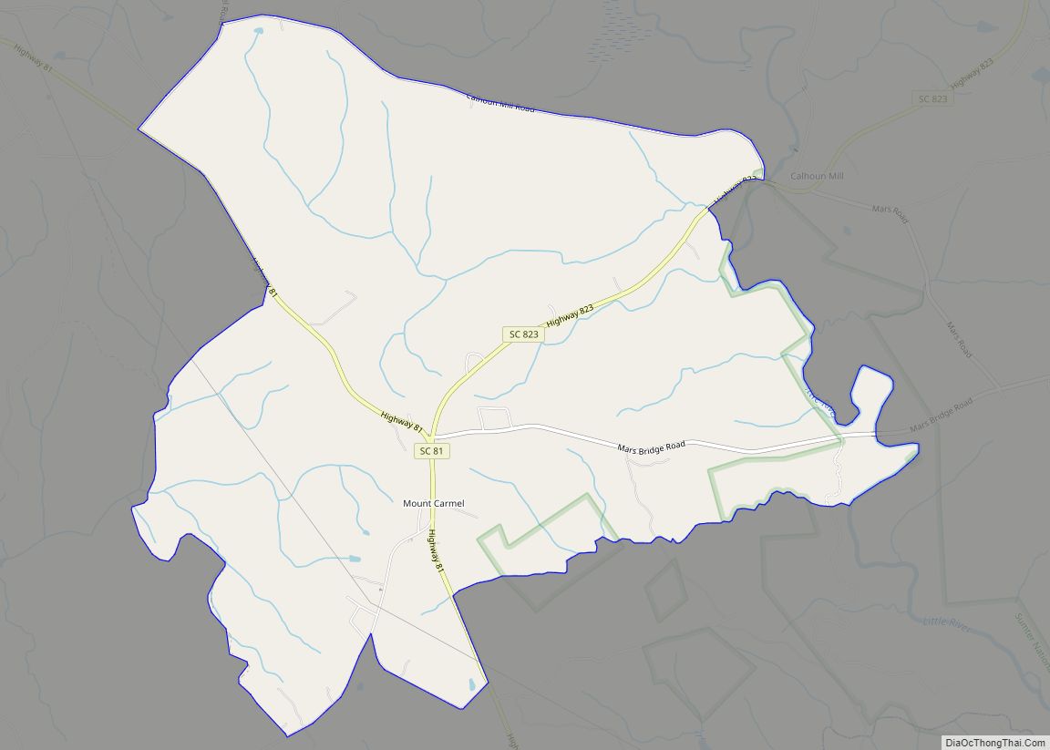
Online Interactive Map
Click on ![]() to view map in "full screen" mode.
to view map in "full screen" mode.
Modoc location map. Where is Modoc CDP?


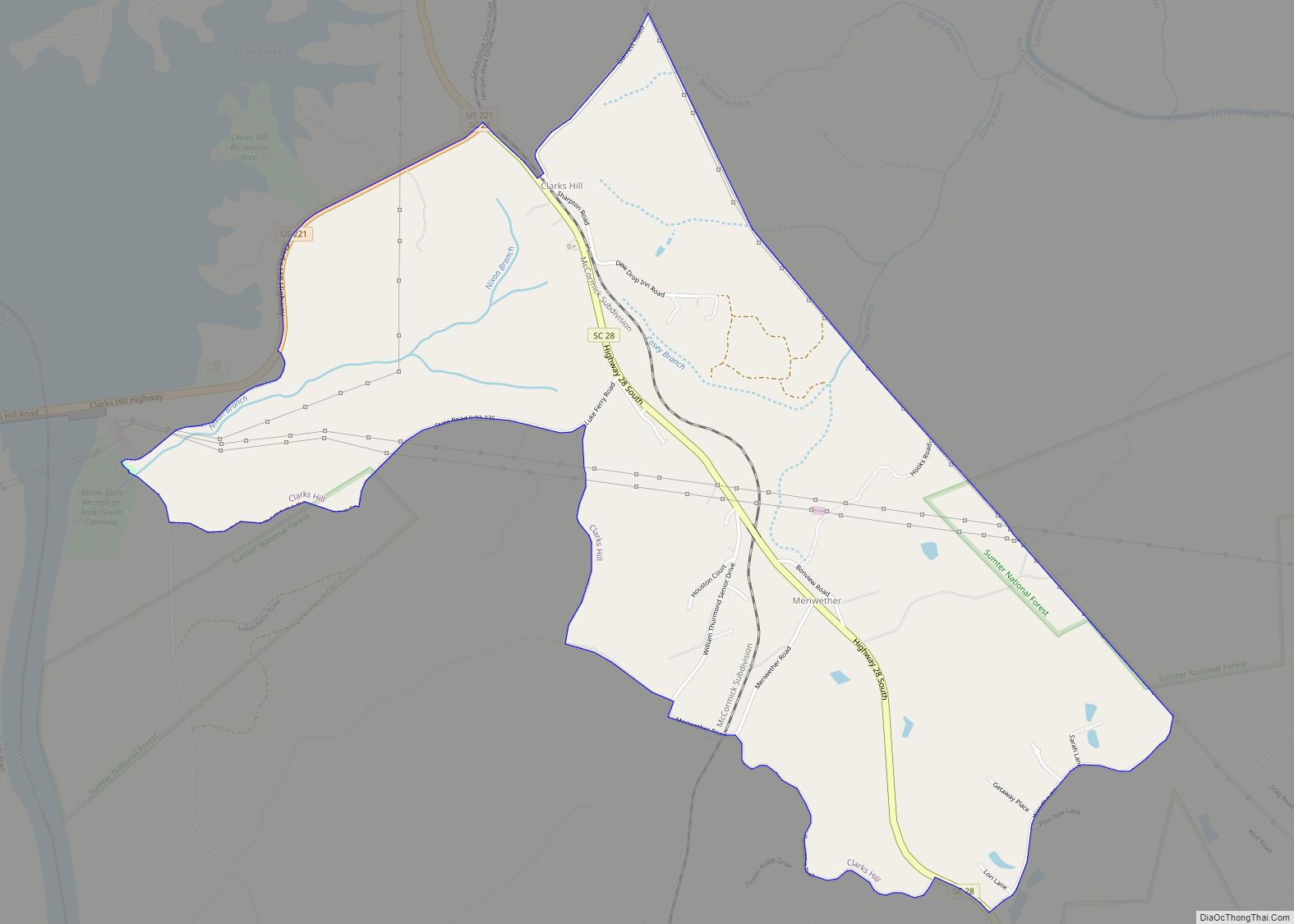
Modoc Road Map

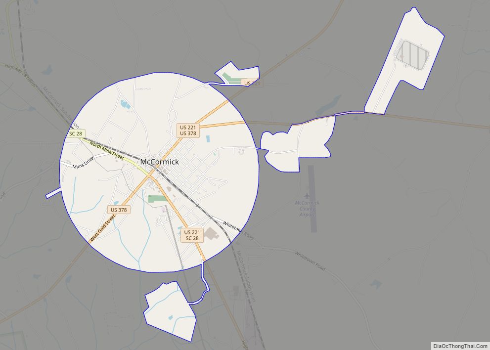
Modoc city Satellite Map

Geography
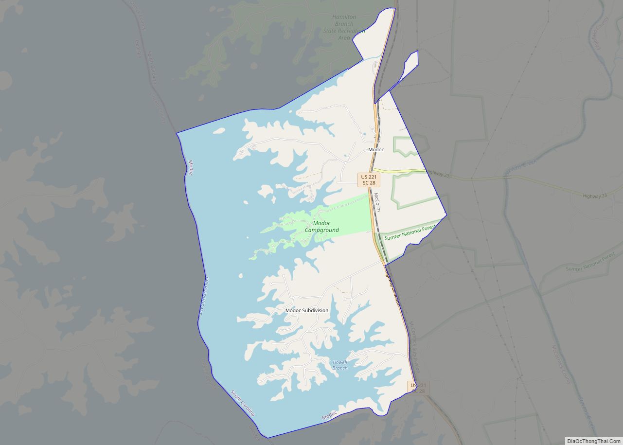
Modoc is located at 33°42′53″N 82°13′6″W / 33.71472°N 82.21833°W / 33.71472; -82.21833 (33.714739, -82.218318).
According to the United States Census Bureau, the CDP has a total area of 7.2 square miles (19 km), of which 4.1 square miles (11 km) is land and 3.1 square miles (8.0 km) (43.02%) is water. Its elevation is 401 to 413 feet above sea level.
See also
Map of South Carolina State and its subdivision:- Abbeville
- Aiken
- Allendale
- Anderson
- Bamberg
- Barnwell
- Beaufort
- Berkeley
- Calhoun
- Charleston
- Cherokee
- Chester
- Chesterfield
- Clarendon
- Colleton
- Darlington
- Dillon
- Dorchester
- Edgefield
- Fairfield
- Florence
- Georgetown
- Greenville
- Greenwood
- Hampton
- Horry
- Jasper
- Kershaw
- Lancaster
- Laurens
- Lee
- Lexington
- Marion
- Marlboro
- McCormick
- Newberry
- Oconee
- Orangeburg
- Pickens
- Richland
- Saluda
- Spartanburg
- Sumter
- Union
- Williamsburg
- York
- Alabama
- Alaska
- Arizona
- Arkansas
- California
- Colorado
- Connecticut
- Delaware
- District of Columbia
- Florida
- Georgia
- Hawaii
- Idaho
- Illinois
- Indiana
- Iowa
- Kansas
- Kentucky
- Louisiana
- Maine
- Maryland
- Massachusetts
- Michigan
- Minnesota
- Mississippi
- Missouri
- Montana
- Nebraska
- Nevada
- New Hampshire
- New Jersey
- New Mexico
- New York
- North Carolina
- North Dakota
- Ohio
- Oklahoma
- Oregon
- Pennsylvania
- Rhode Island
- South Carolina
- South Dakota
- Tennessee
- Texas
- Utah
- Vermont
- Virginia
- Washington
- West Virginia
- Wisconsin
- Wyoming