Clarks Hill is a census-designated place (CDP) in McCormick County, South Carolina, United States. The population was 376 at the 2000 census.
| Name: | Clarks Hill CDP |
|---|---|
| LSAD Code: | 57 |
| LSAD Description: | CDP (suffix) |
| State: | South Carolina |
| County: | McCormick County |
| Elevation: | 466 ft (142 m) |
| Total Area: | 3.20 sq mi (8.28 km²) |
| Land Area: | 3.20 sq mi (8.28 km²) |
| Water Area: | 0.00 sq mi (0.00 km²) |
| Total Population: | 289 |
| Population Density: | 90.43/sq mi (34.92/km²) |
| ZIP code: | 29821 |
| Area code: | 864 |
| FIPS code: | 4514590 |
| GNISfeature ID: | 1231173 |
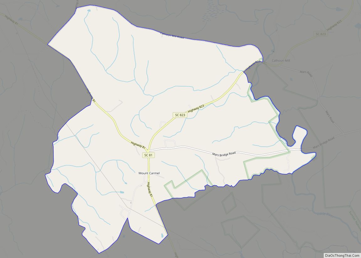
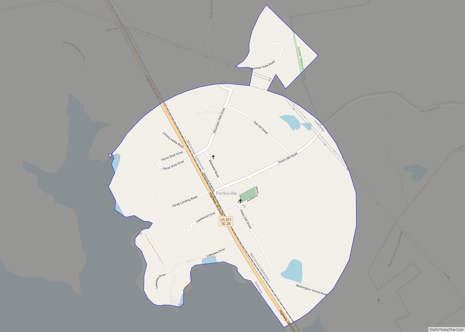
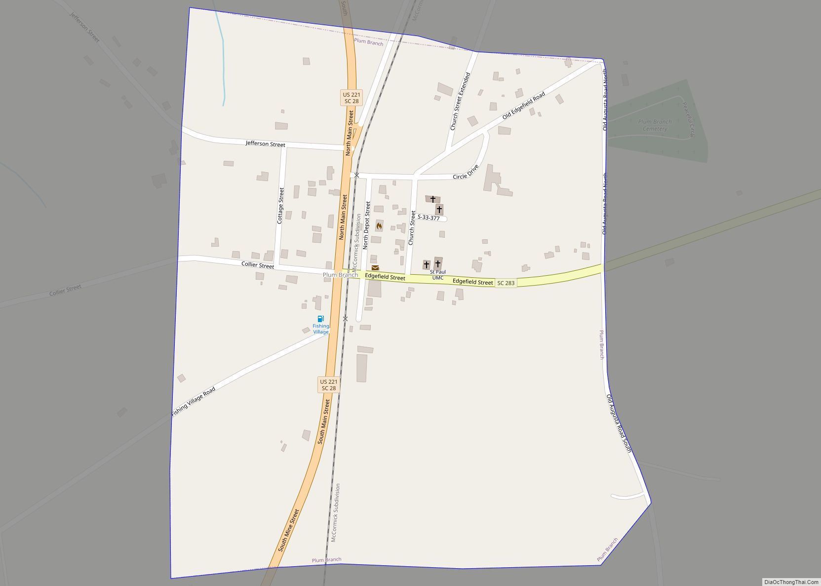
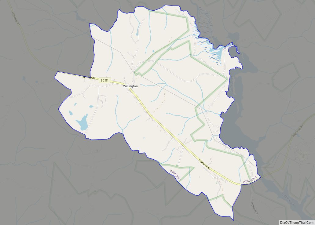
Online Interactive Map
Click on ![]() to view map in "full screen" mode.
to view map in "full screen" mode.
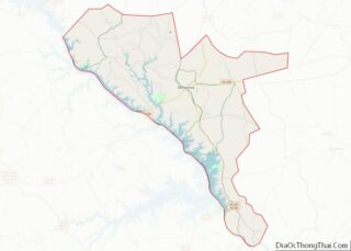
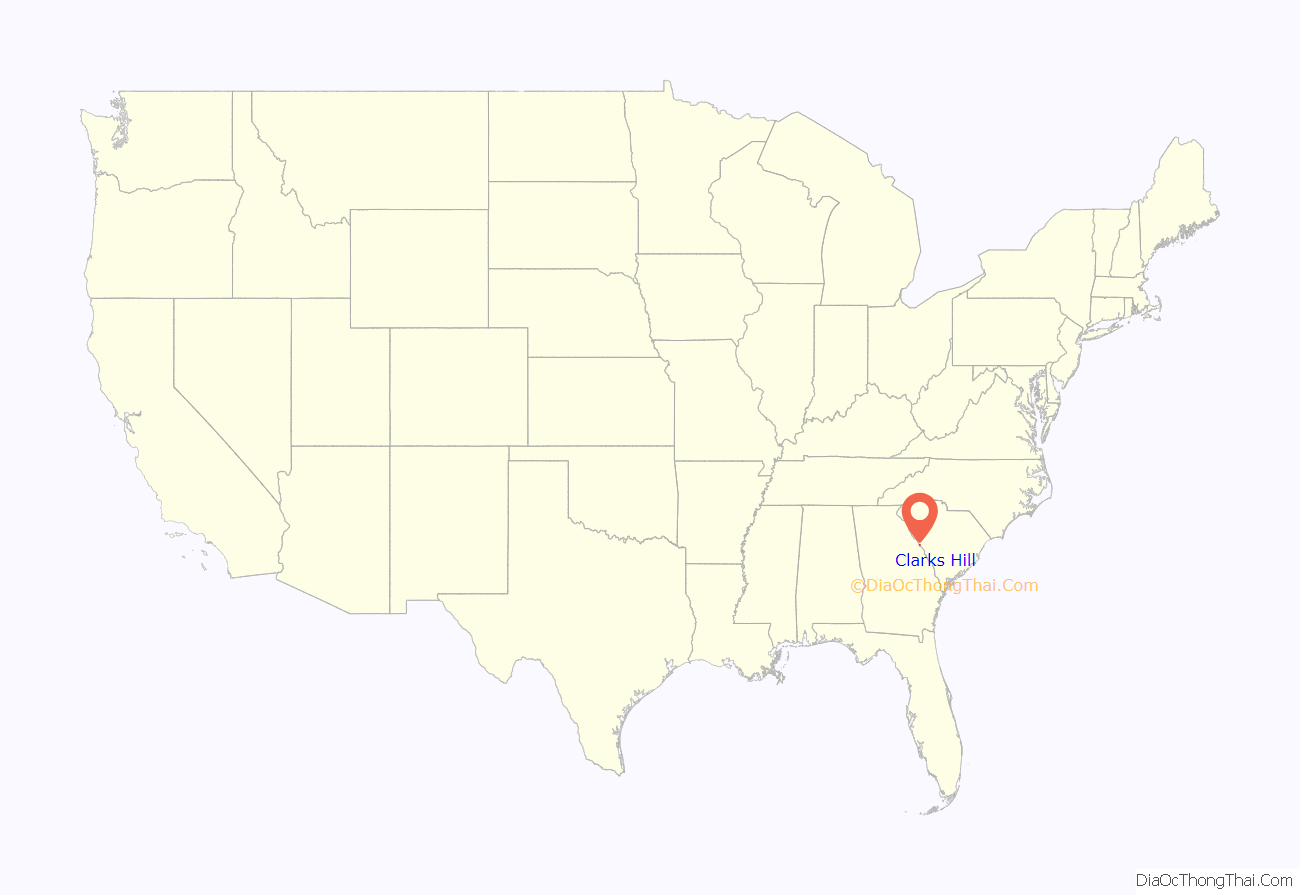
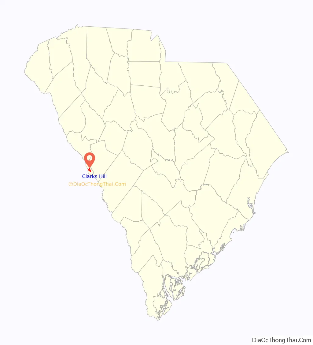
Clarks Hill location map. Where is Clarks Hill CDP?
History
The community was named after an 18th-century local blacksmith.
The Hopewell Rosenwald School was listed on the National Register of Historic Places in 2010.
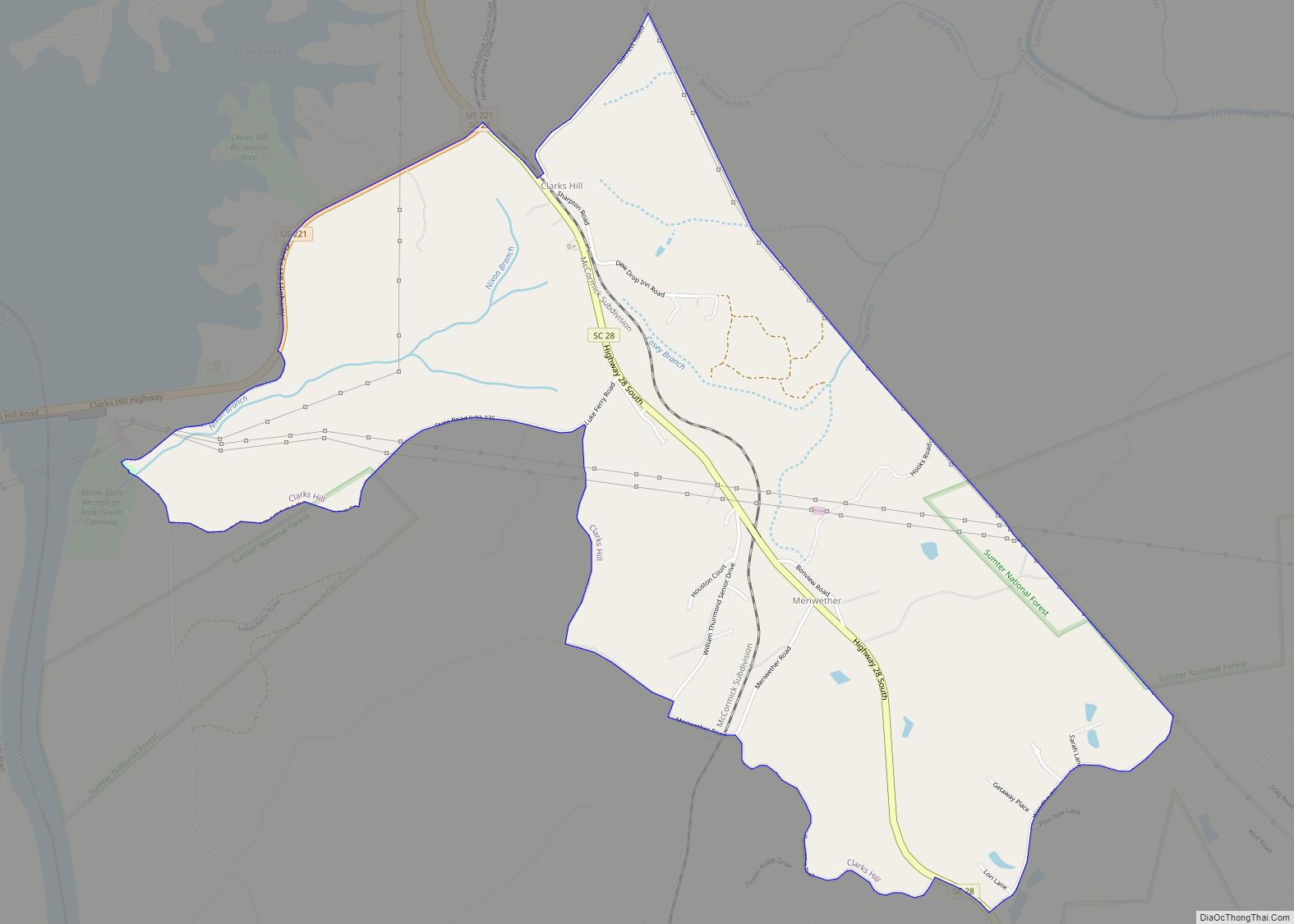
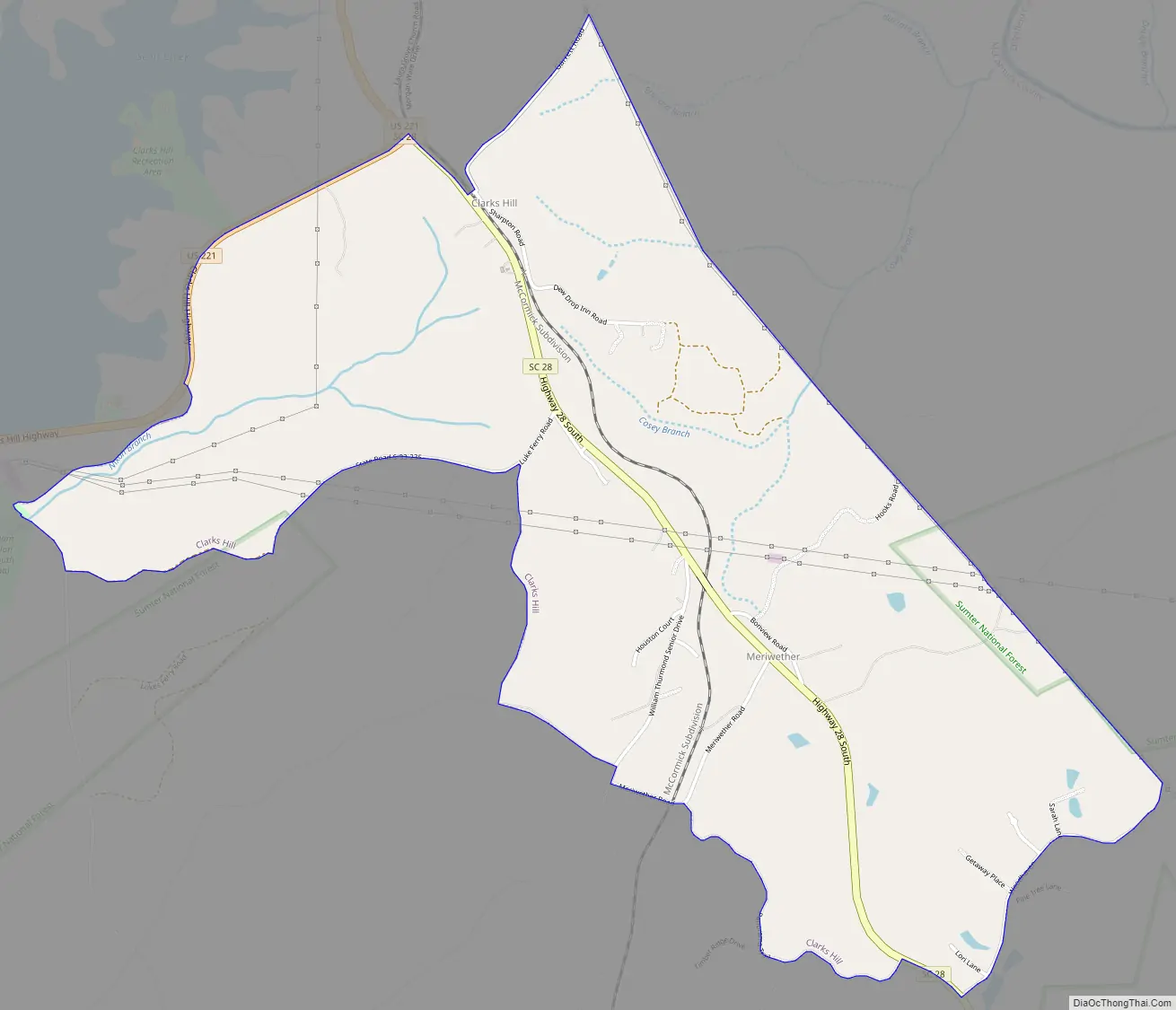
Clarks Hill Road Map
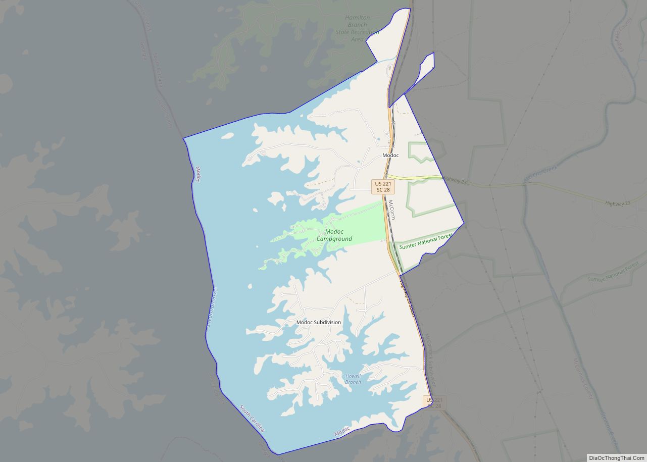
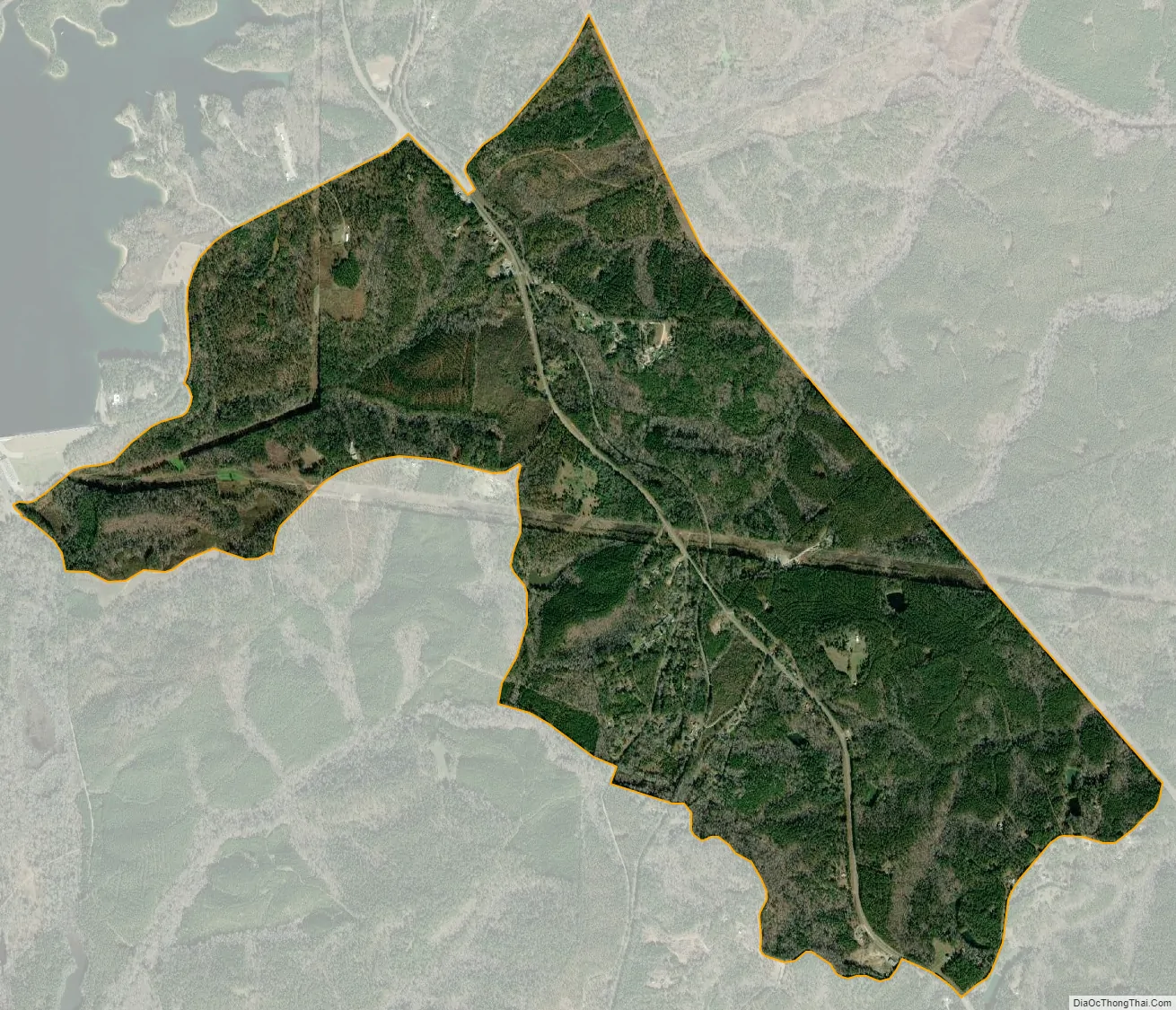
Clarks Hill city Satellite Map
Geography
Clarks Hill is located at 33°39′39″N 82°9′37″W / 33.66083°N 82.16028°W / 33.66083; -82.16028 (33.660876, -82.160302).
According to the United States Census Bureau, the CDP has a total area of 3.2 square miles (8.3 km), all land.
The soils of Clarks Hill are moderately well drained or well drained. They have brown sandy loam topsoils which are underlain by red clay. This fine-textured material may form a distinct layer or comprise the entire subsoil.[1] They support forests in which loblolly pine and shortleaf pine dominate.
See also
Map of South Carolina State and its subdivision:- Abbeville
- Aiken
- Allendale
- Anderson
- Bamberg
- Barnwell
- Beaufort
- Berkeley
- Calhoun
- Charleston
- Cherokee
- Chester
- Chesterfield
- Clarendon
- Colleton
- Darlington
- Dillon
- Dorchester
- Edgefield
- Fairfield
- Florence
- Georgetown
- Greenville
- Greenwood
- Hampton
- Horry
- Jasper
- Kershaw
- Lancaster
- Laurens
- Lee
- Lexington
- Marion
- Marlboro
- McCormick
- Newberry
- Oconee
- Orangeburg
- Pickens
- Richland
- Saluda
- Spartanburg
- Sumter
- Union
- Williamsburg
- York
- Alabama
- Alaska
- Arizona
- Arkansas
- California
- Colorado
- Connecticut
- Delaware
- District of Columbia
- Florida
- Georgia
- Hawaii
- Idaho
- Illinois
- Indiana
- Iowa
- Kansas
- Kentucky
- Louisiana
- Maine
- Maryland
- Massachusetts
- Michigan
- Minnesota
- Mississippi
- Missouri
- Montana
- Nebraska
- Nevada
- New Hampshire
- New Jersey
- New Mexico
- New York
- North Carolina
- North Dakota
- Ohio
- Oklahoma
- Oregon
- Pennsylvania
- Rhode Island
- South Carolina
- South Dakota
- Tennessee
- Texas
- Utah
- Vermont
- Virginia
- Washington
- West Virginia
- Wisconsin
- Wyoming