McCormick is a town in McCormick County, South Carolina, United States. The population was 2,232 at the 2020 census. It is the county seat of McCormick County. The town of McCormick is named for inventor Cyrus McCormick.
| Name: | McCormick town |
|---|---|
| LSAD Code: | 43 |
| LSAD Description: | town (suffix) |
| State: | South Carolina |
| County: | McCormick County |
| Elevation: | 535 ft (163 m) |
| Total Area: | 4.05 sq mi (10.49 km²) |
| Land Area: | 4.05 sq mi (10.49 km²) |
| Water Area: | 0.00 sq mi (0.00 km²) |
| Total Population: | 2,232 |
| Population Density: | 550.84/sq mi (212.70/km²) |
| ZIP code: | 29835, 29899 |
| Area code: | 864 |
| FIPS code: | 4543720 |
| GNISfeature ID: | 1246583 |
| Website: | www.townofmccormicksc.org |
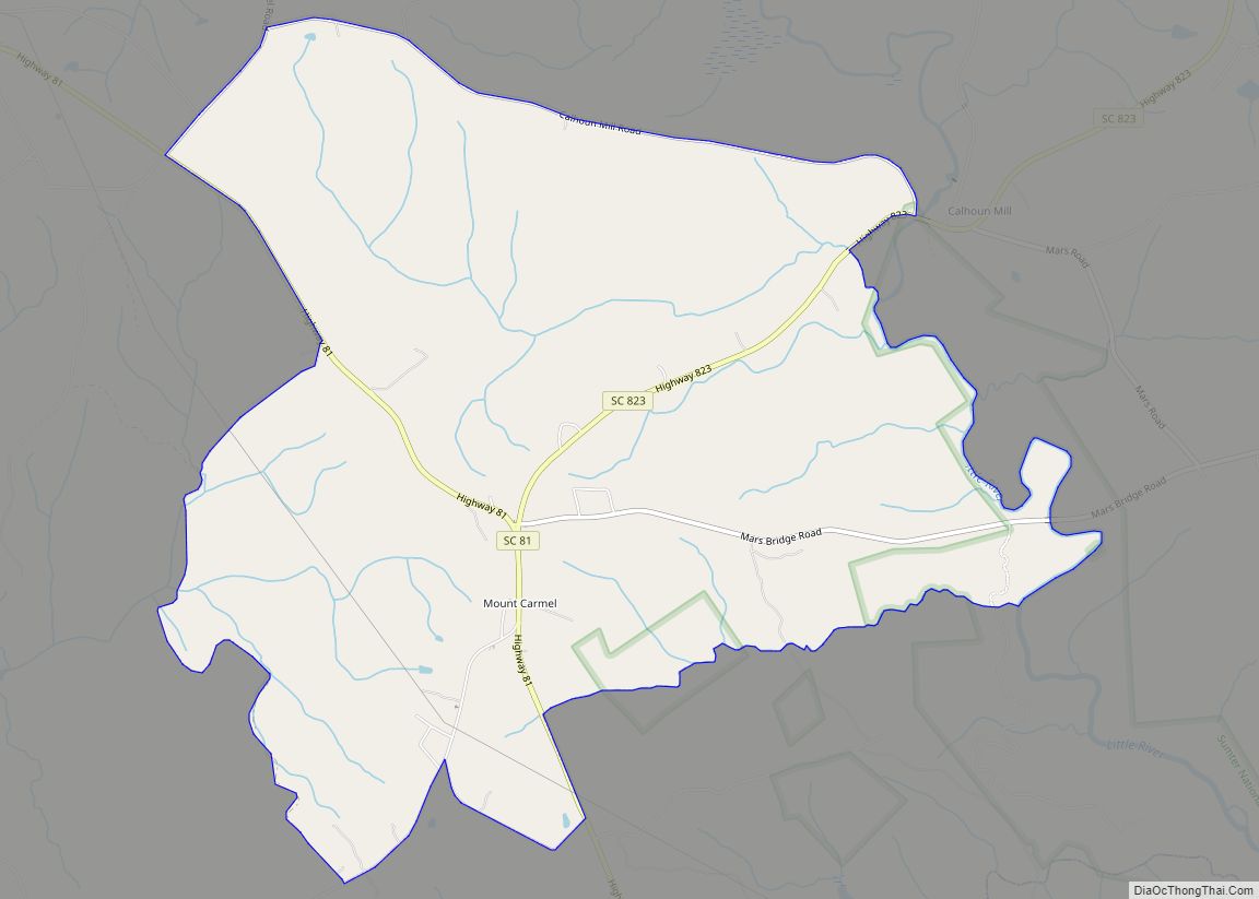
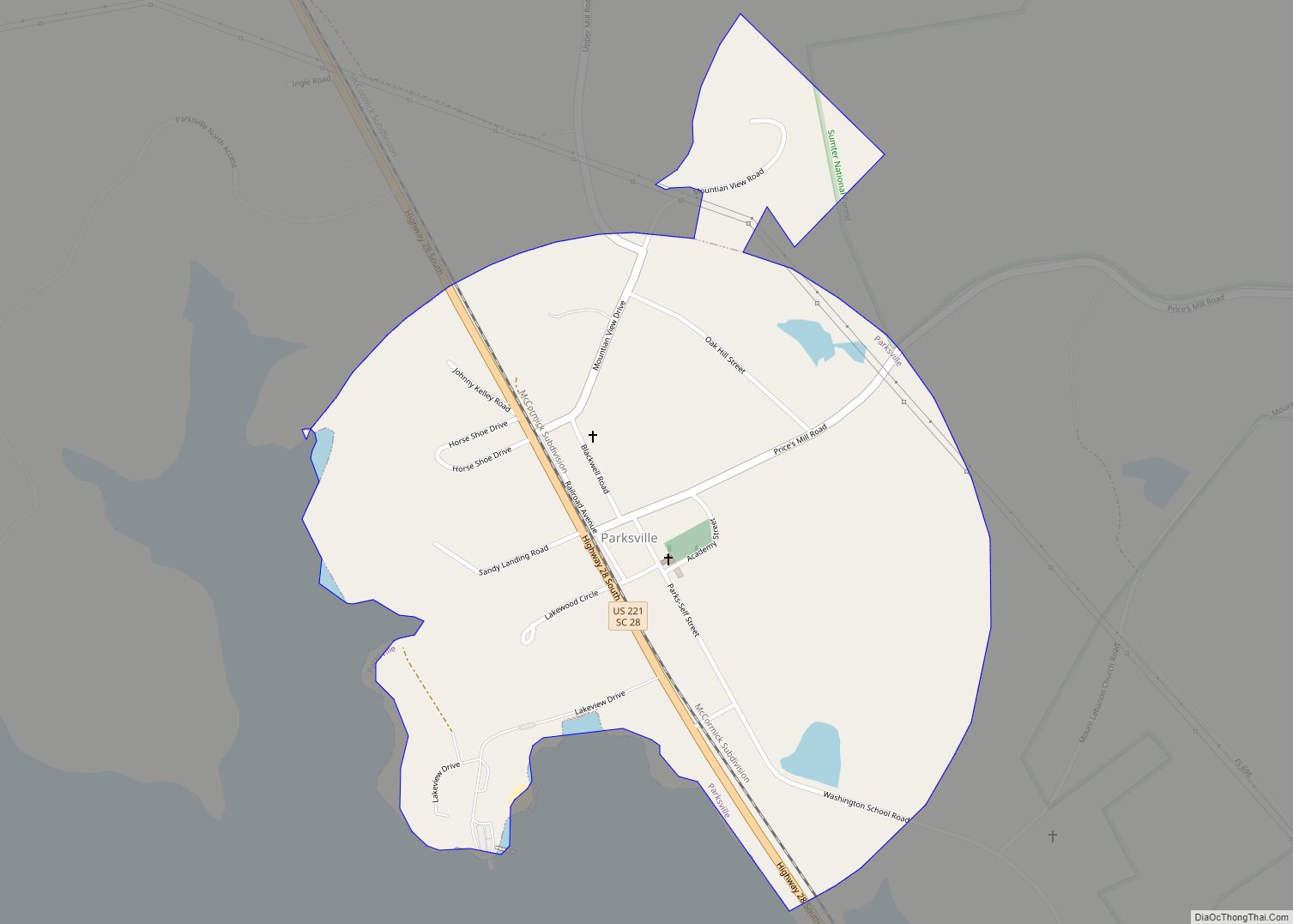
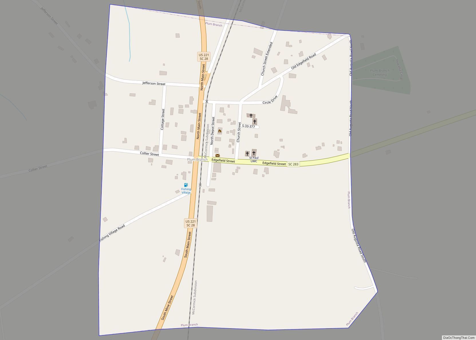
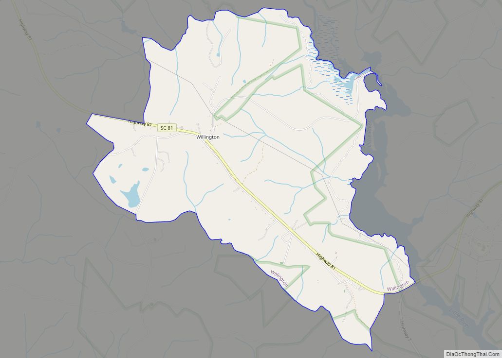
Online Interactive Map
Click on ![]() to view map in "full screen" mode.
to view map in "full screen" mode.
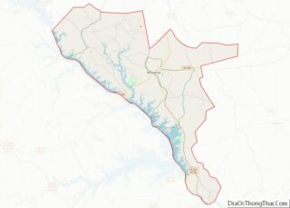
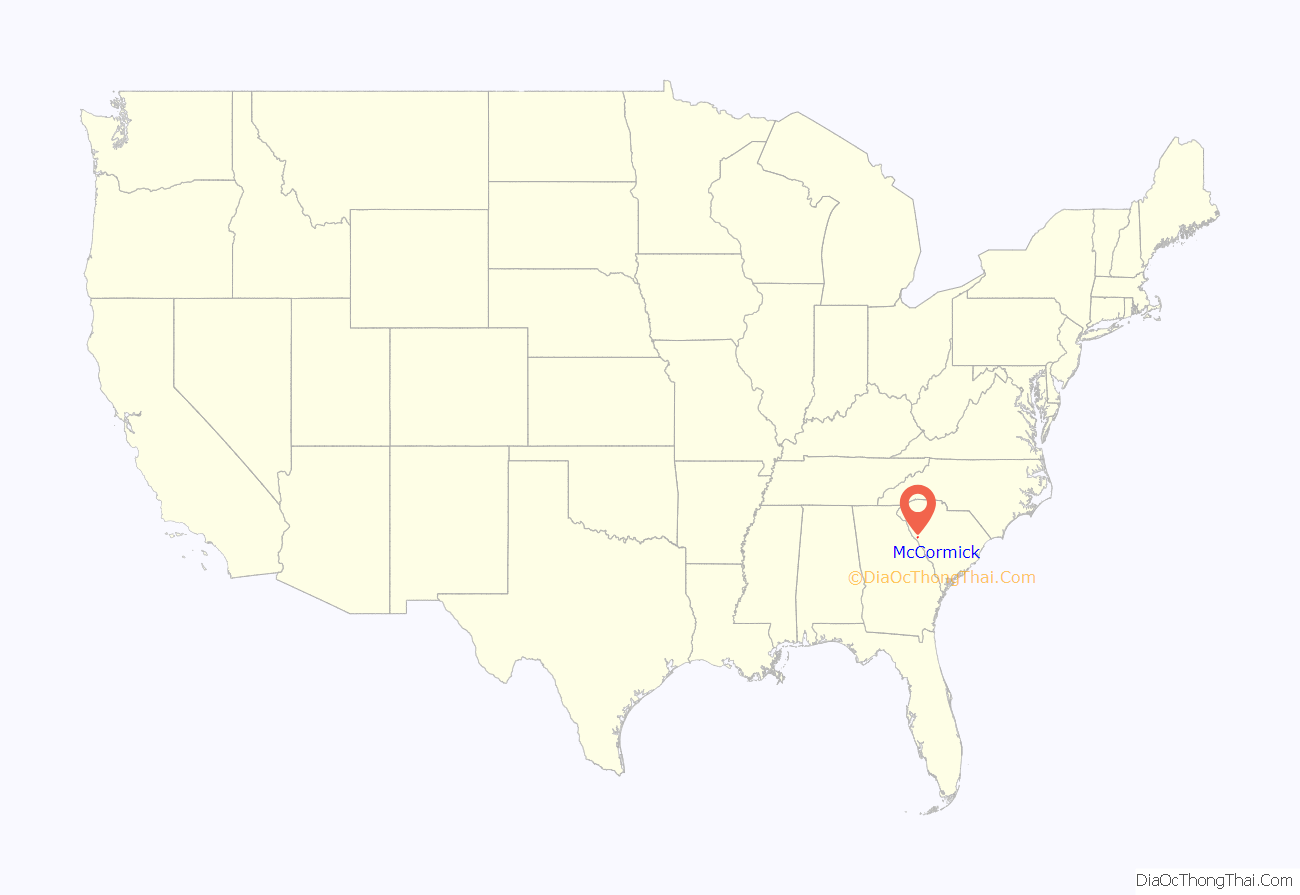
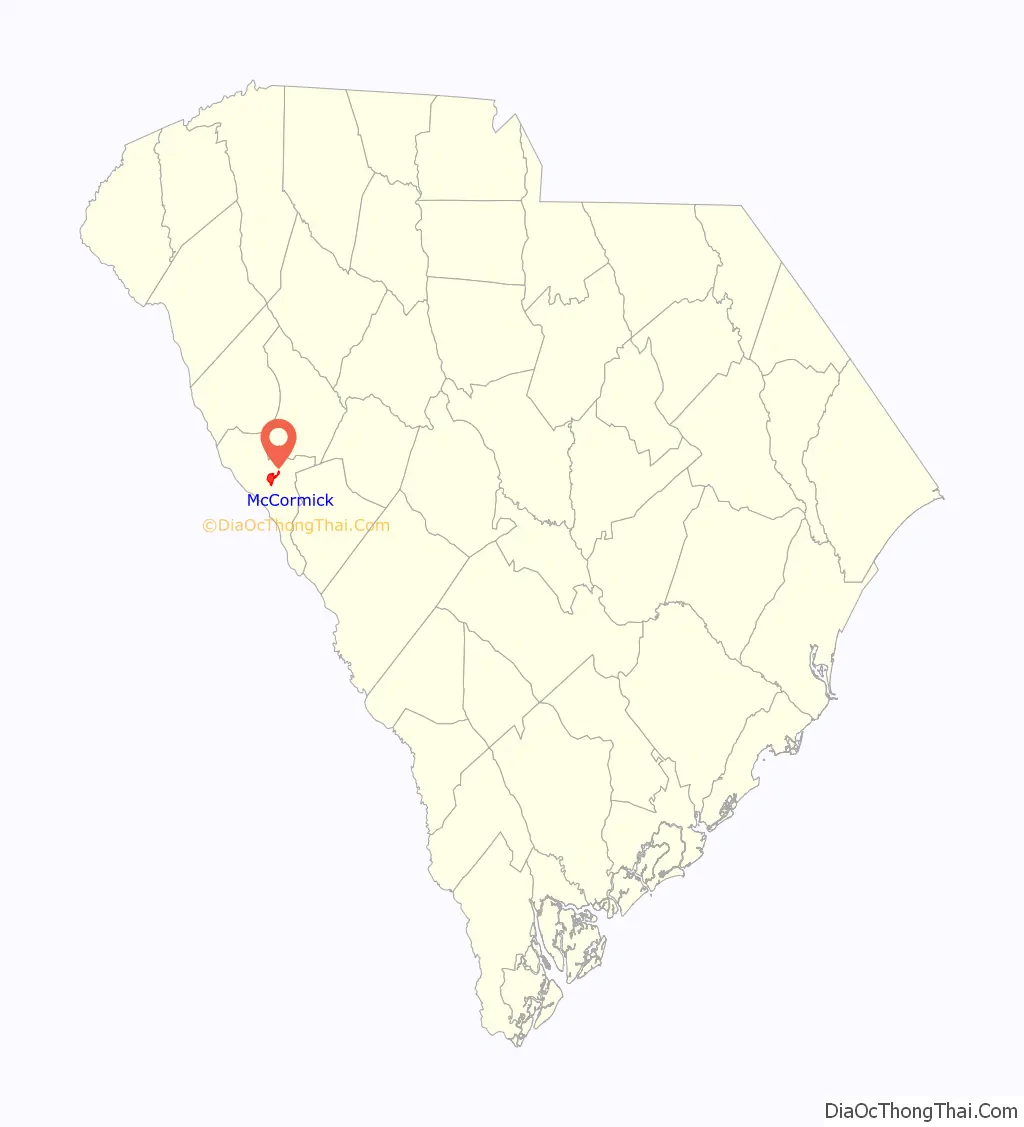
McCormick location map. Where is McCormick town?
History
The Dorn Gold Mine, Dorn’s Flour and Grist Mill, Joseph Jennings Dorn House, Eden Hall, Farmer’s Bank, John Albert Gibert M.D. House, Otway Henderson House, Hotel Keturah, McCormick County Courthouse, McCormick Train Station, and M.L.B. Sturkey House are listed on the National Register of Historic Places.
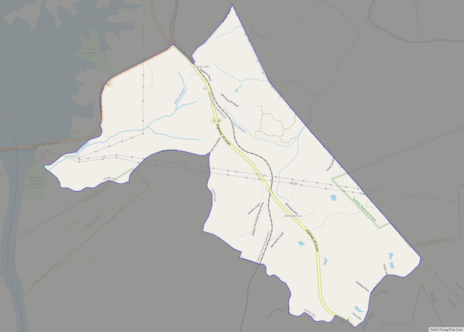
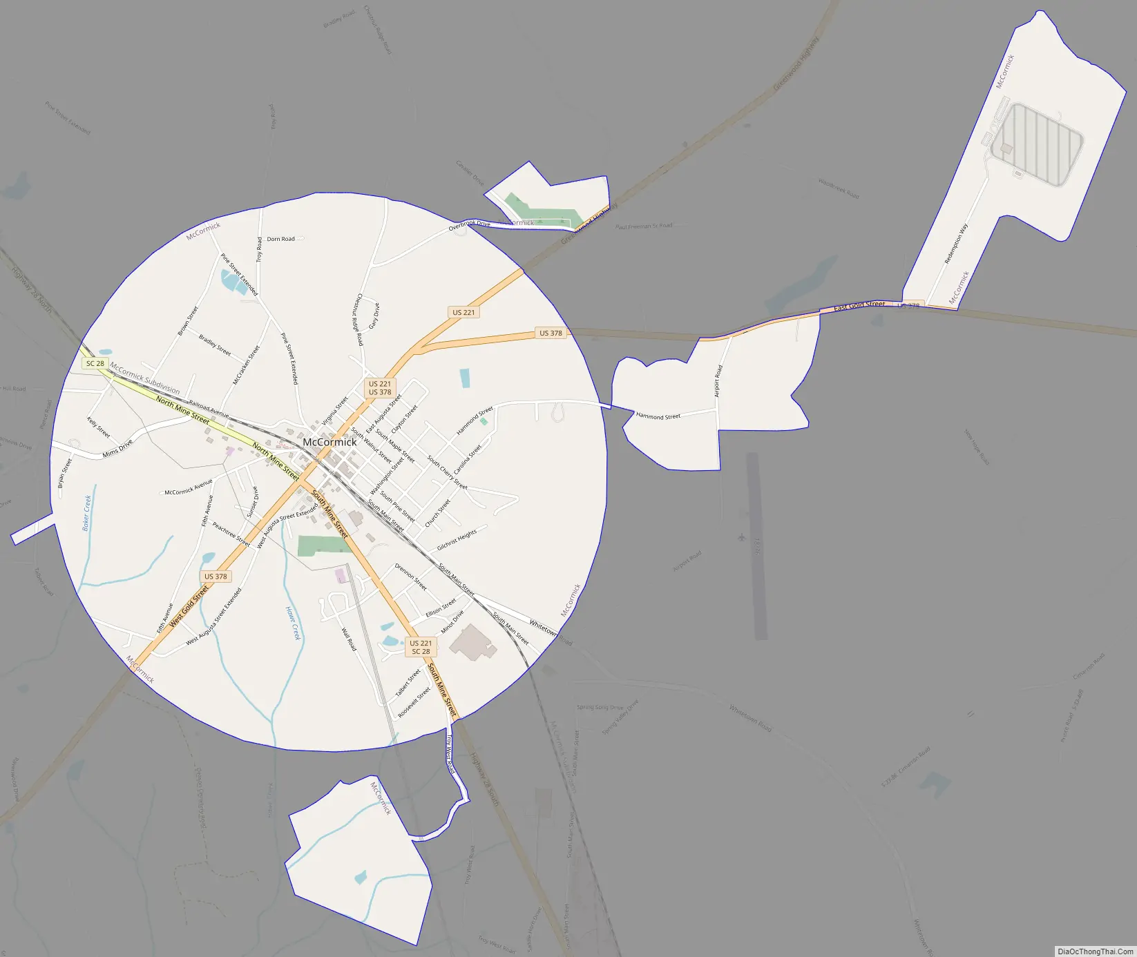
McCormick Road Map
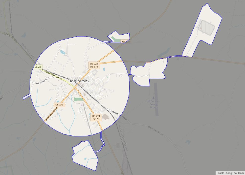
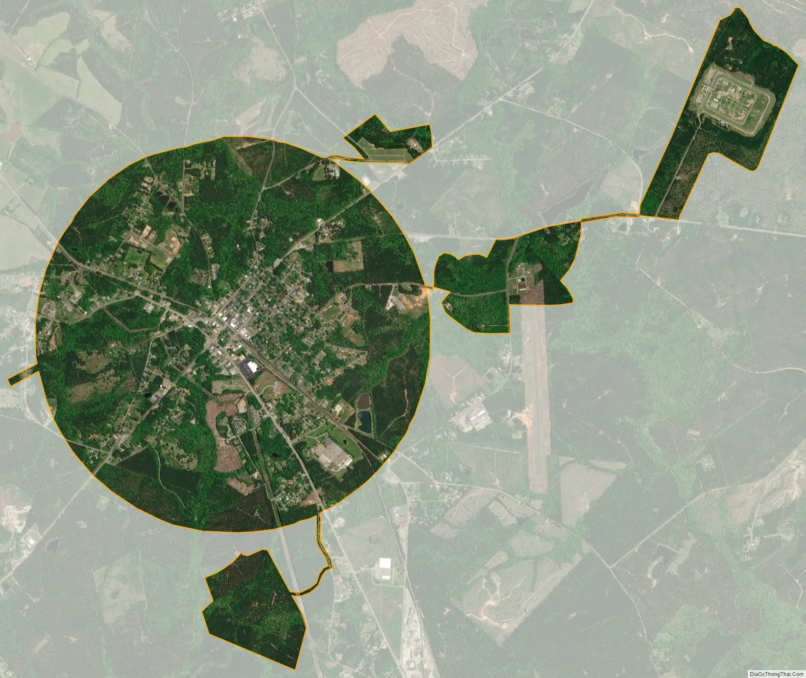
McCormick city Satellite Map
Geography
McCormick is located at 33°54′49″N 82°17′21″W / 33.91361°N 82.28917°W / 33.91361; -82.28917 (33.913565, -82.289154).
According to the United States Census Bureau, the town has a total area of 3.8 square miles (9.8 km), all land.
See also
Map of South Carolina State and its subdivision:- Abbeville
- Aiken
- Allendale
- Anderson
- Bamberg
- Barnwell
- Beaufort
- Berkeley
- Calhoun
- Charleston
- Cherokee
- Chester
- Chesterfield
- Clarendon
- Colleton
- Darlington
- Dillon
- Dorchester
- Edgefield
- Fairfield
- Florence
- Georgetown
- Greenville
- Greenwood
- Hampton
- Horry
- Jasper
- Kershaw
- Lancaster
- Laurens
- Lee
- Lexington
- Marion
- Marlboro
- McCormick
- Newberry
- Oconee
- Orangeburg
- Pickens
- Richland
- Saluda
- Spartanburg
- Sumter
- Union
- Williamsburg
- York
- Alabama
- Alaska
- Arizona
- Arkansas
- California
- Colorado
- Connecticut
- Delaware
- District of Columbia
- Florida
- Georgia
- Hawaii
- Idaho
- Illinois
- Indiana
- Iowa
- Kansas
- Kentucky
- Louisiana
- Maine
- Maryland
- Massachusetts
- Michigan
- Minnesota
- Mississippi
- Missouri
- Montana
- Nebraska
- Nevada
- New Hampshire
- New Jersey
- New Mexico
- New York
- North Carolina
- North Dakota
- Ohio
- Oklahoma
- Oregon
- Pennsylvania
- Rhode Island
- South Carolina
- South Dakota
- Tennessee
- Texas
- Utah
- Vermont
- Virginia
- Washington
- West Virginia
- Wisconsin
- Wyoming