Monroe County is a county located in the south central part of the U.S. state of Iowa. In the early 20th century, it was a center of bituminous coal mining and in 1910 had a population of more than 25,000. As mining declined, people moved elsewhere for work. In the 2020 census, the population was 7,577. The county seat is Albia. The county, originally called Kishkekosh County after a famous chief of the Meskwaki, was renamed for James Monroe, fifth President of the United States
| Name: | Monroe County |
|---|---|
| FIPS code: | 19-135 |
| State: | Iowa |
| Founded: | 1843 |
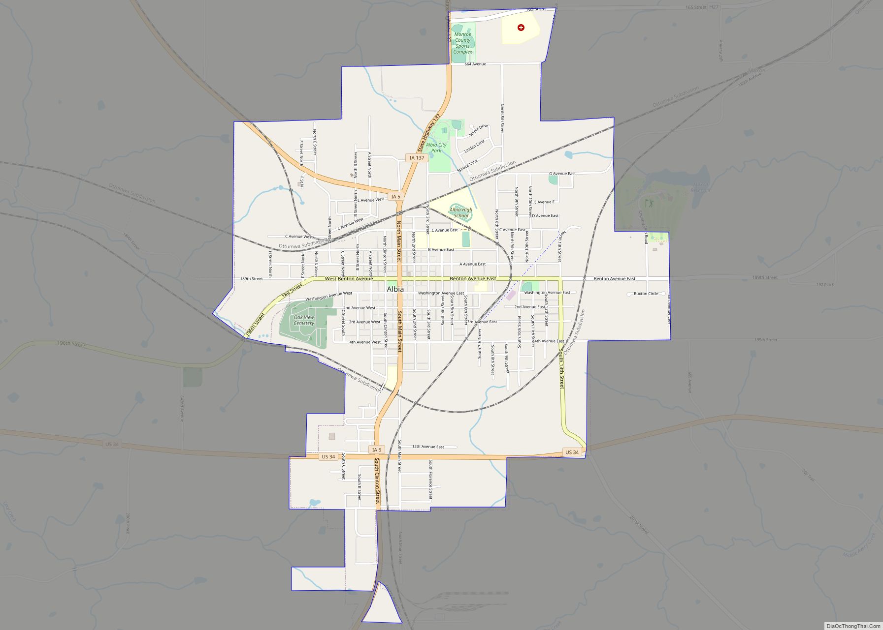
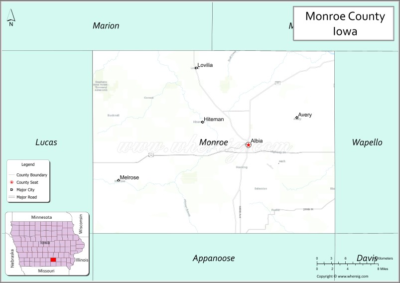
| Seat: | Albia |
| Largest city: | Albia |
| Total Area: | 434 sq mi (1,120 km²) |
| Land Area: | 434 sq mi (1,120 km²) |
| Total Population: | 7,577 |
| Population Density: | 17/sq mi (6.7/km²) |
| Time zone: | UTC−6 (Central) |
| Summer Time Zone (DST): | UTC−5 (CDT) |
| Website: | monroecounty.iowa.gov |
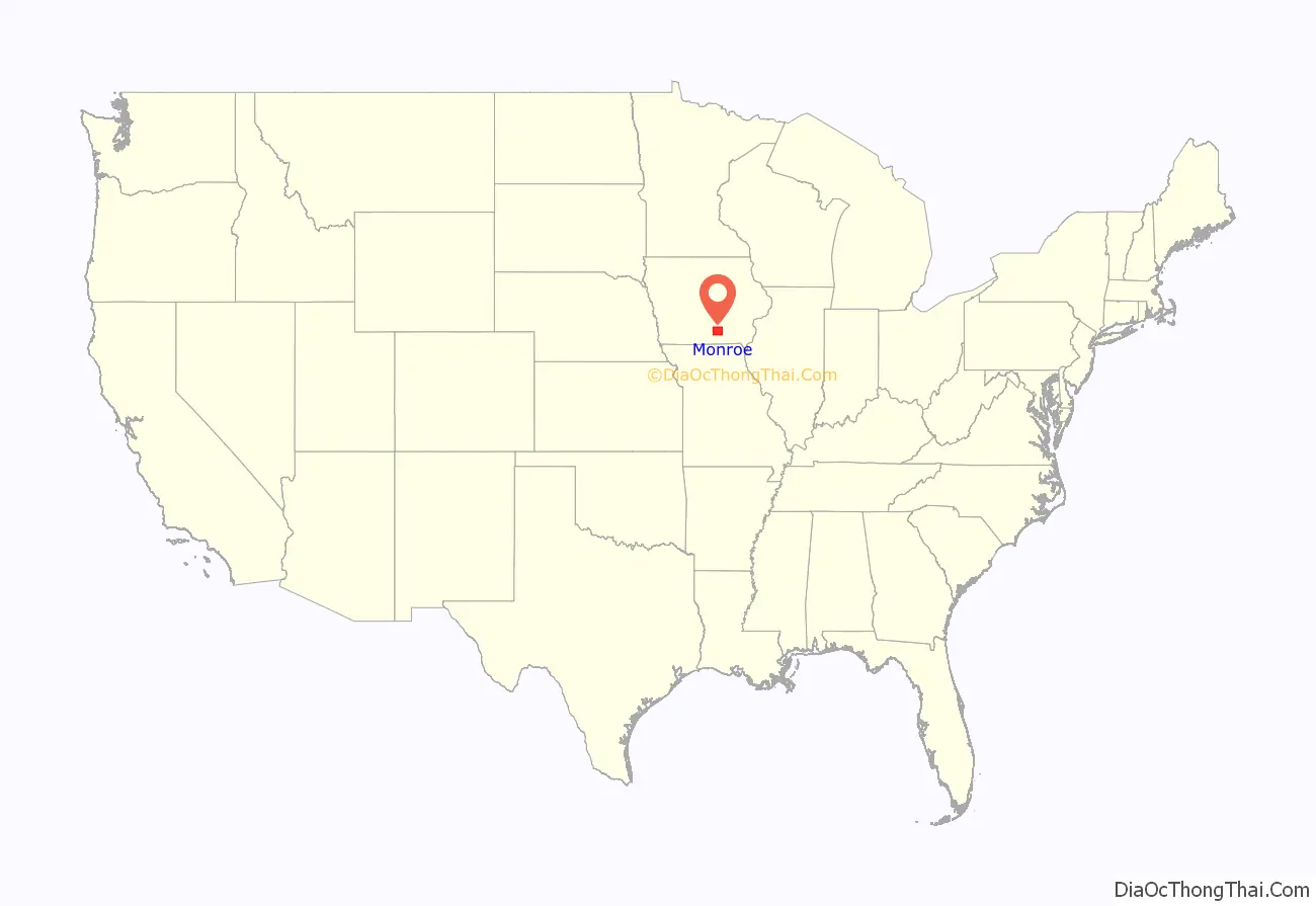
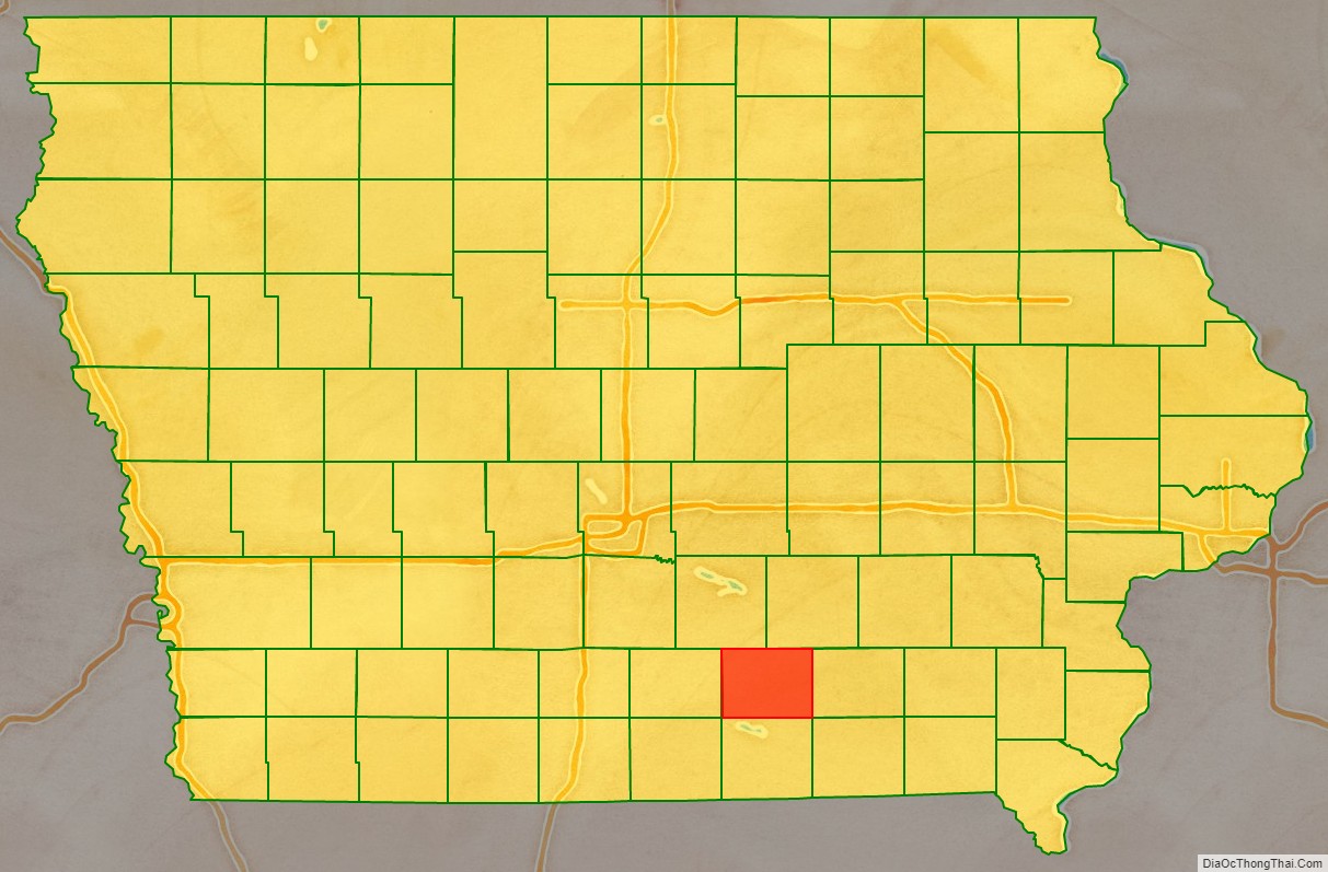
Monroe County location map. Where is Monroe County?
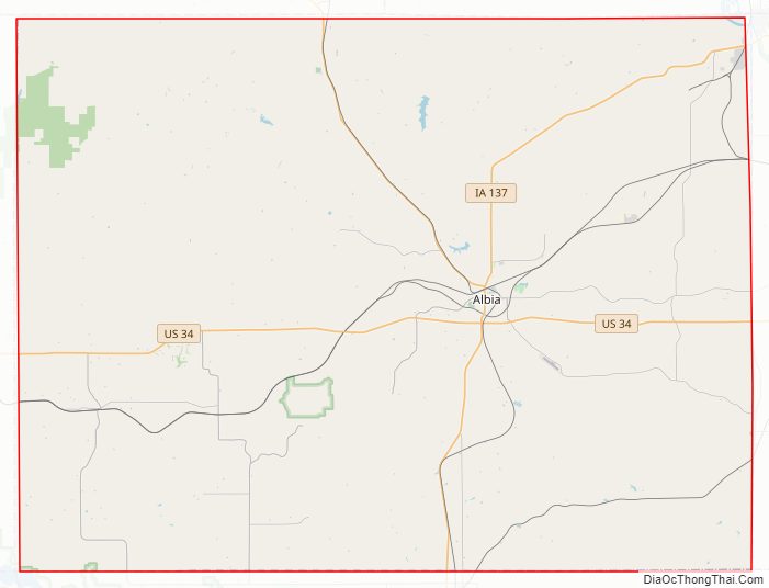
Monroe County Road Map
Geography
According to the U.S. Census Bureau, the county has a total area of 434 square miles (1,120 km), of which 434 square miles (1,120 km) is land and 0.6 square miles (1.6 km) (0.1%) is water.
Major highways
- U.S. Highway 34
- Iowa Highway 5
- Iowa Highway 137
Adjacent counties
- Marion County (northwest)
- Mahaska County (northeast)
- Wapello County (east)
- Appanoose County (south)
- Lucas County (west)
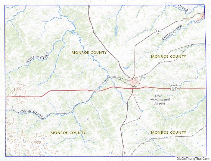
Monroe County Topographic Map
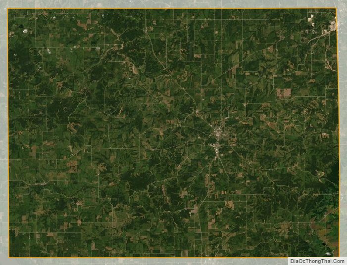
Monroe County Satellite Map
Monroe County Outline Map