Mahaska County is a county located in the U.S. state of Iowa. As of the 2020 census, the population was 22,190. The county seat is Oskaloosa.
Mahaska County comprises the Oskaloosa, IA Micropolitan Statistical Area.
| Name: | Mahaska County |
|---|---|
| FIPS code: | 19-123 |
| State: | Iowa |
| Founded: | February 17, 1843 |
| Named for: | Chief Mahaska |
| Seat: | Oskaloosa |
| Largest city: | Oskaloosa |
| Total Area: | 573 sq mi (1,480 km²) |
| Land Area: | 571 sq mi (1,480 km²) |
| Total Population: | 22,190 |
| Population Density: | 39/sq mi (15/km²) |
| Time zone: | UTC−6 (Central) |
| Summer Time Zone (DST): | UTC−5 (CDT) |
| Website: | www.mahaskacountyia.gov |
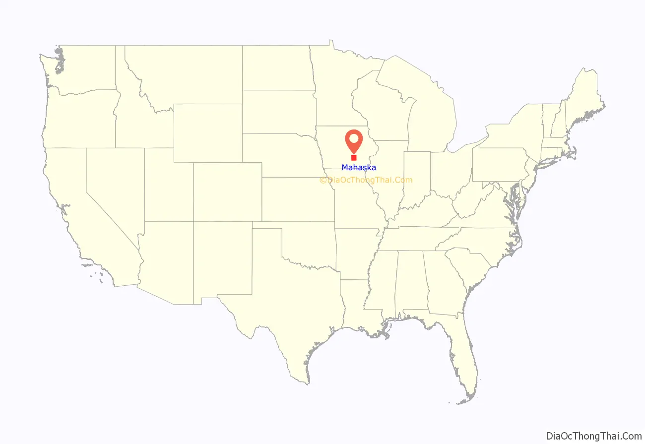
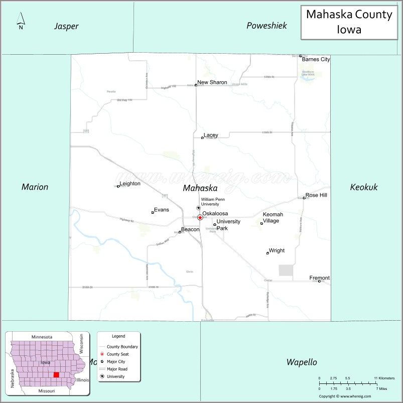
Mahaska County location map. Where is Mahaska County?
History
Mahaska County was formed in February 1843. The county has been self-governing since February 5, 1844. It was named after Chief Mahaska of the Iowa tribe. The county was the first in Iowa to have a sheriff and a justice of peace.
The first courthouse was completed in January 1846. When a larger structure was required, the second courthouse was constructed in 1885–86, first being used on February 27, 1886. The first school, a small log cabin one-half mile (ca. 2 km) east of Oskaloosa, was opened on September 16, 1844, and the Cumberland Presbyterian Church opened as the first church in 1846. On July 2, 1850, the first edition of the Iowa Herald was issued (today the Oskaloosa Herald). The first tracks of the Des Moines Valley Railroad were laid through the county in 1864.
Coal mining was once a major industry in Mahaska County. During the 19th century, Muchakinock, about 5 miles (8.0 km) south of Oskaloosa, was probably the largest and most prosperous coal camp in Iowa.
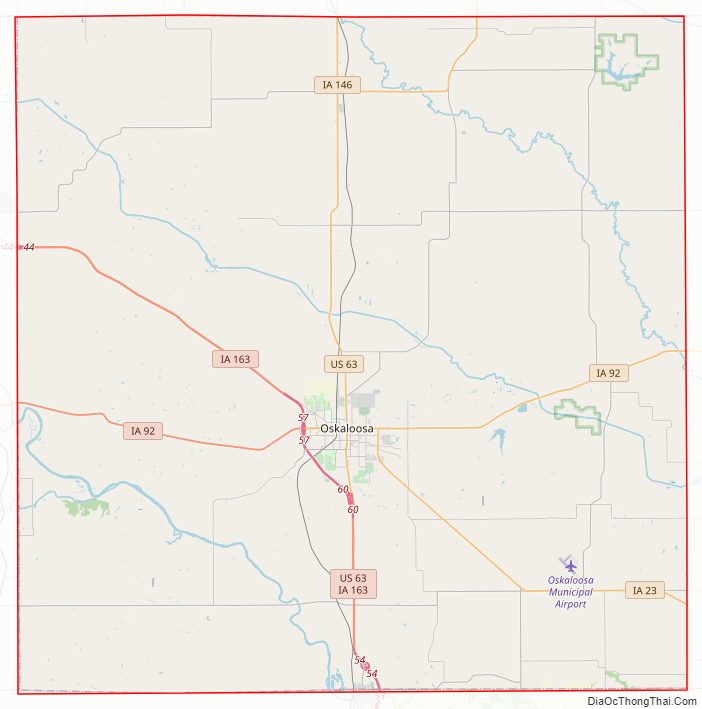
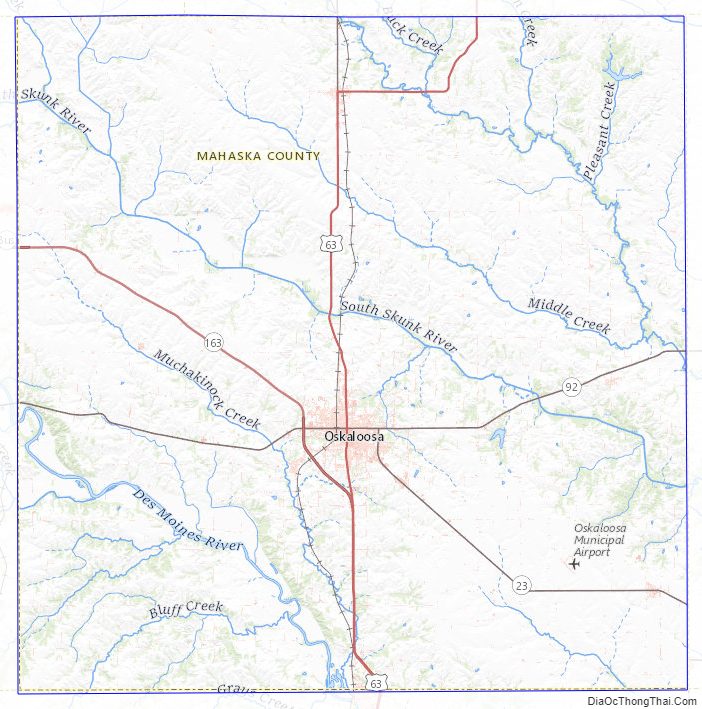
Mahaska County Road Map
Geography
According to the U.S. Census Bureau, the county has a total area of 573 square miles (1,480 km), of which 571 square miles (1,480 km) is land and 2.5 square miles (6.5 km) (0.4%) is water.
Major highways
- U.S. Highway 63
- Iowa Highway 23
- Iowa Highway 92
- Iowa Highway 163
- Iowa Highway 146
- Iowa Highway 149
Transit
- List of intercity bus stops in Iowa
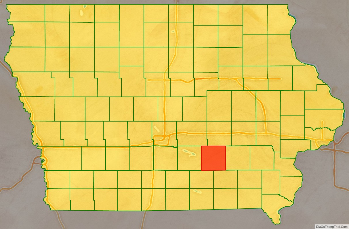
Adjacent counties
- Jasper County (northwest)
- Poweshiek County (north)
- Keokuk County (east)
- Wapello County (southeast)
- Monroe County (southwest)
- Marion County (west)
Mahaska County Topographic Map
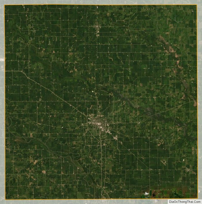
Mahaska County Satellite Map
Mahaska County Outline Map