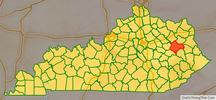
Morgan County is a county located in the U.S. state of Kentucky. As of the 2020 census, the population was 13,726. Its county seat is West Liberty. The county is among the dry counties, which means that the sale of alcohol is restricted or prohibited.
| Name: | Morgan County |
|---|---|
| FIPS code: | 21-175 |
| State: | Kentucky |
| Founded: | December 7, 1822 |
| Named for: | Daniel Morgan |
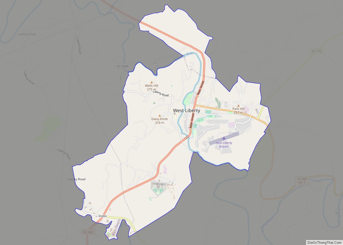
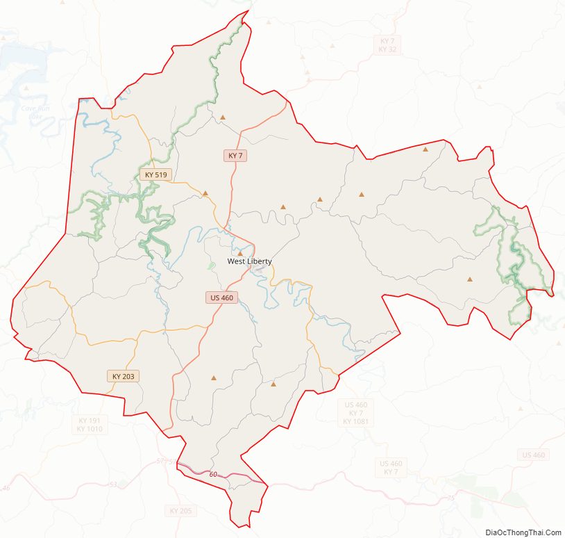
| Seat: | West Liberty |
| Largest city: | West Liberty |
| Total Area: | 384 sq mi (990 km²) |
| Land Area: | 381 sq mi (990 km²) |
| Total Population: | 13,726 |
| Population Density: | 36/sq mi (14/km²) |
| Time zone: | UTC−5 (Eastern) |
| Summer Time Zone (DST): | UTC−4 (EDT) |
| Website: | morgancounty.ky.gov/Pages/default.aspx |
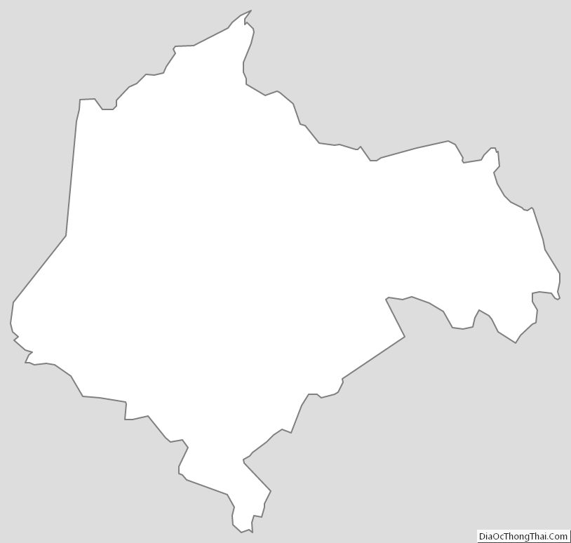
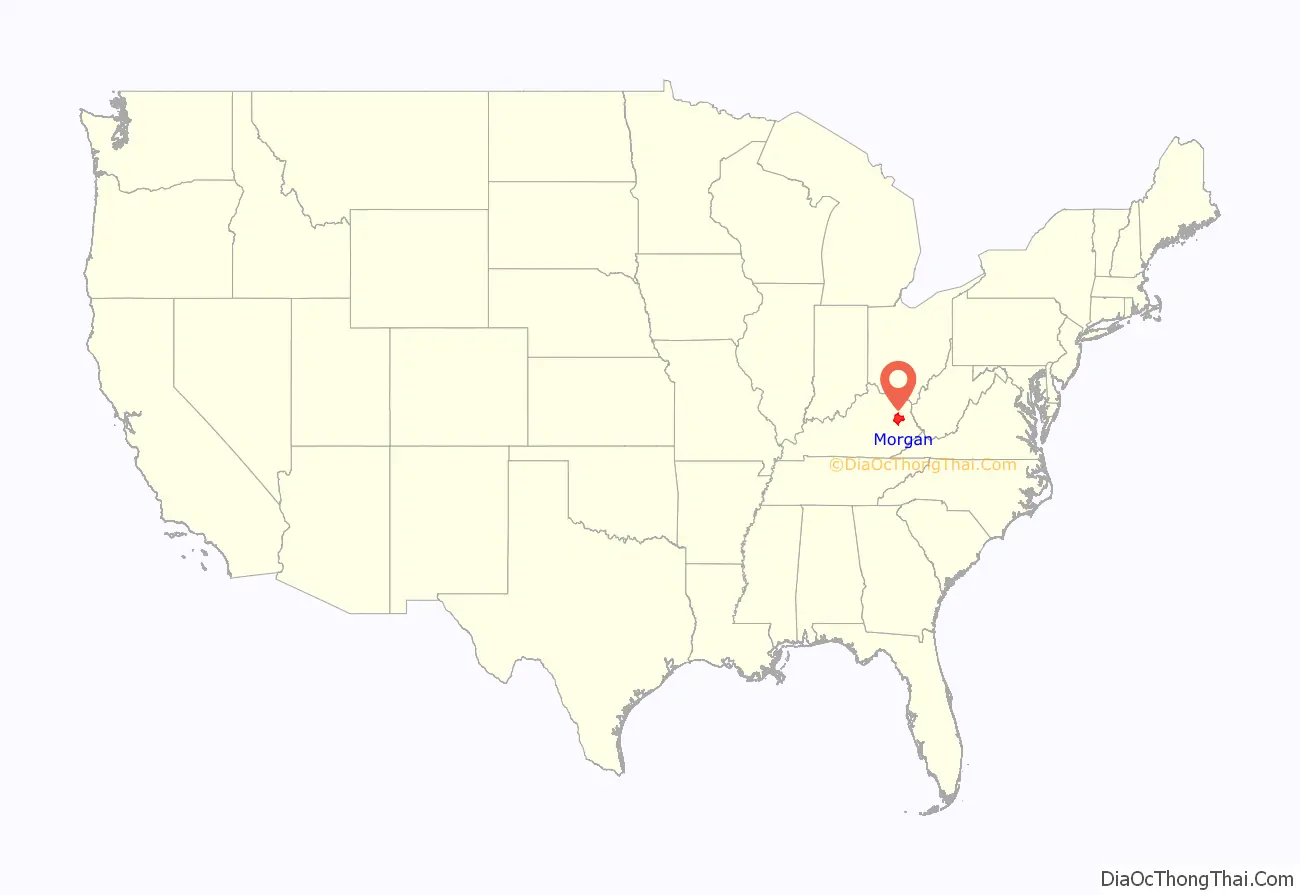
Morgan County location map. Where is Morgan County?
History
Morgan County was formed on December 7, 1822, from portions of Bath County and Floyd County. It was named for Daniel Morgan, a distinguished general in the American Revolutionary War.
During the Civil War, Morgan County was almost solidly pro-confederate, donating dozens of men to the 5th KY Infantry (CSA).
Morgan County was hit by an EF3 tornado on March 2, 2012, which cost the lives of six people and injured many others. Following the tornado, Morgan County’s population decreased, but the county seat still has a strong population for a small town.
Morgan County had begun building a new court house in 2011, but the tornado delayed its construction to late 2013.
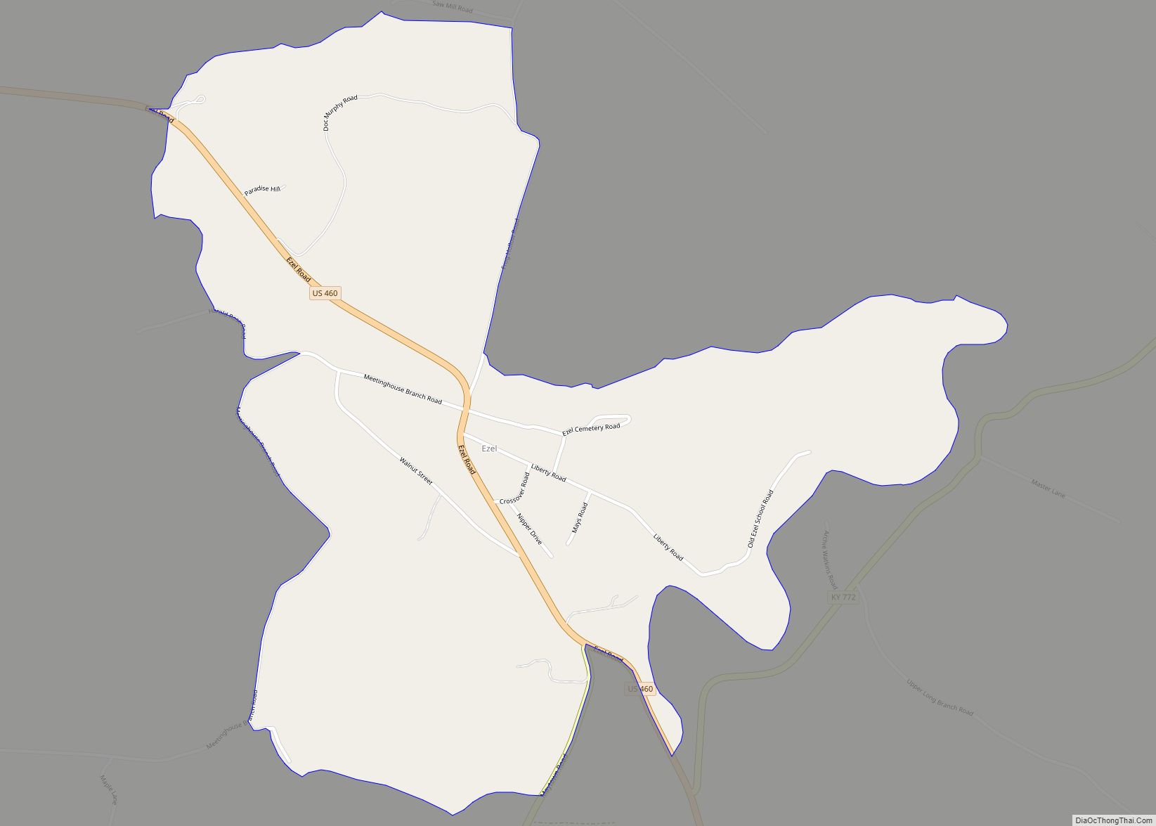
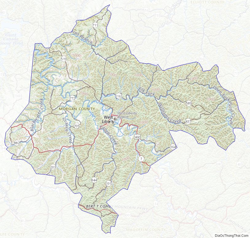
Morgan County Road Map
Geography
According to the United States Census Bureau, the county has a total area of 384 square miles (990 km), of which 300 square miles (780 km) is land and 2.7 square miles (7.0 km) (0.7%) is water.
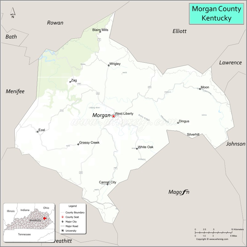
Adjacent counties
- Rowan County (northwest)
- Elliott County (north)
- Lawrence County (northeast)
- Johnson County (east)
- Magoffin County (southeast)
- Wolfe County (southwest)
- Menifee County (west)
National protected area
- Daniel Boone National Forest (part)
Morgan County Topographic Map
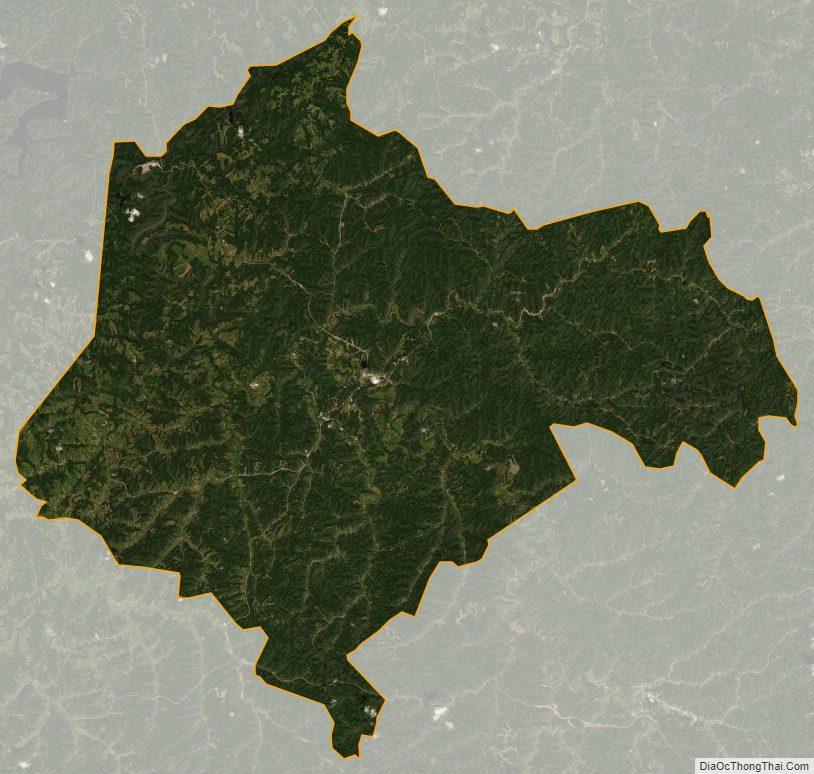
Morgan County Satellite Map
Morgan County Outline Map