West Liberty is a home rule-class city in Morgan County, Kentucky, United States. It is the county seat of Morgan County. As of the 2010 census, the city population was 3,435. It is located on the banks of the Licking River at the junction of Kentucky Route 7 and U.S. Route 460.
| Name: | West Liberty city |
|---|---|
| LSAD Code: | 25 |
| LSAD Description: | city (suffix) |
| State: | Kentucky |
| County: | Morgan County |
| Elevation: | 817 ft (249 m) |
| Total Area: | 4.94 sq mi (12.79 km²) |
| Land Area: | 4.90 sq mi (12.70 km²) |
| Water Area: | 0.03 sq mi (0.09 km²) |
| Total Population: | 3,215 |
| Population Density: | 655.59/sq mi (253.12/km²) |
| ZIP code: | 41472 |
| Area code: | 606 |
| FIPS code: | 2181858 |
| GNISfeature ID: | 0516279 |
| Website: | www.cityofwestliberty.com |
Online Interactive Map
Click on ![]() to view map in "full screen" mode.
to view map in "full screen" mode.
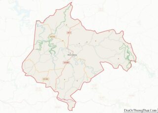
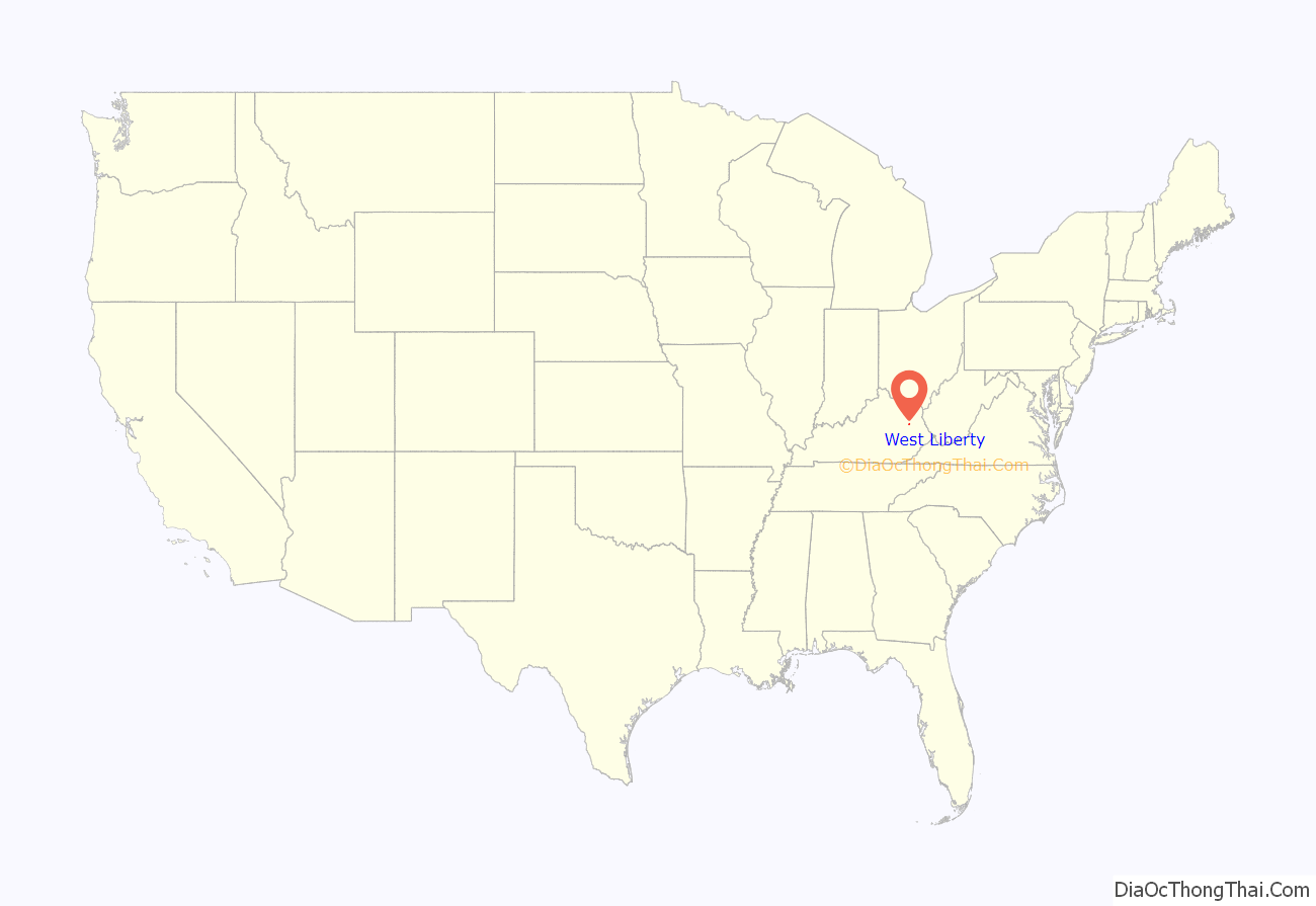
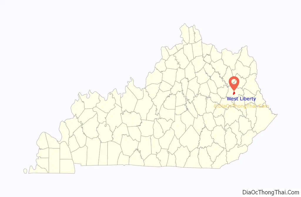
West Liberty location map. Where is West Liberty city?
History
By 1816, an early settlement at the town site was called Wells Mills. When Morgan County was founded in 1823, the settlement was incorporated to become the county seat. It chose the name West Liberty in the belief that Pikeville, Kentucky would be called “Liberty” when it incorporated. The town is actually 100 miles east of Liberty, Kentucky.
Three Civil War skirmishes were fought near West Liberty, and much of the town was burned during the war, including the courthouse. It was replaced after the war, and a fourth courthouse was built in 1907.
2012 tornado
On March 2, 2012, West Liberty was hit by an EF-3 tornado which caused extensive damage to the downtown area. This tornado left a swath of damage over a mile wide. Many homes and businesses were heavily damaged or destroyed. Six people were killed and at least 75 people were injured. Preliminary assessments from emergency officials and media indicated a path length of 60 miles (97 km), though a National Weather Service survey concluded the tornado travelled 85 miles from Menifee County to Lincoln County, West Virginia. It had the longest track of any tornado in the United States in 2012.
The old courthouse, built in 1907, as well as the new courthouse which was 60% completed were at first, after the tornado, both deemed as a total loss. However, this determination was in error as both buildings have been restored and finished, respectively.
The tornado had also hit the city of Wellington in Menifee County and was just north of the EF3 tornado that hit Salyersville around 7:00 PM Eastern time that evening. The tornadoes were the worst in the history of all three of the towns.
Restoration after tornado
Since the 2012 tornado, much progress has been made in West Liberty. Many of the buildings destroyed in the disaster have been either rebuilt to prior state or have been replaced with much better structures. Planning in West Liberty has been continuous since the disaster.
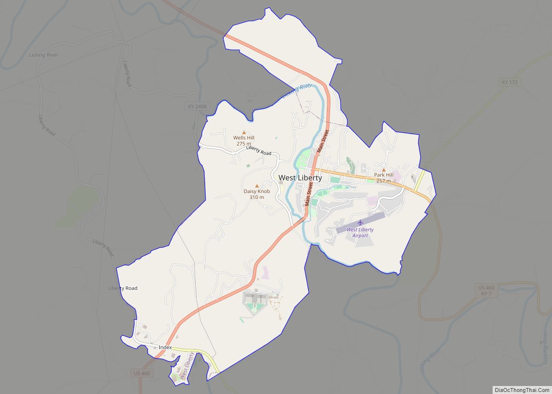
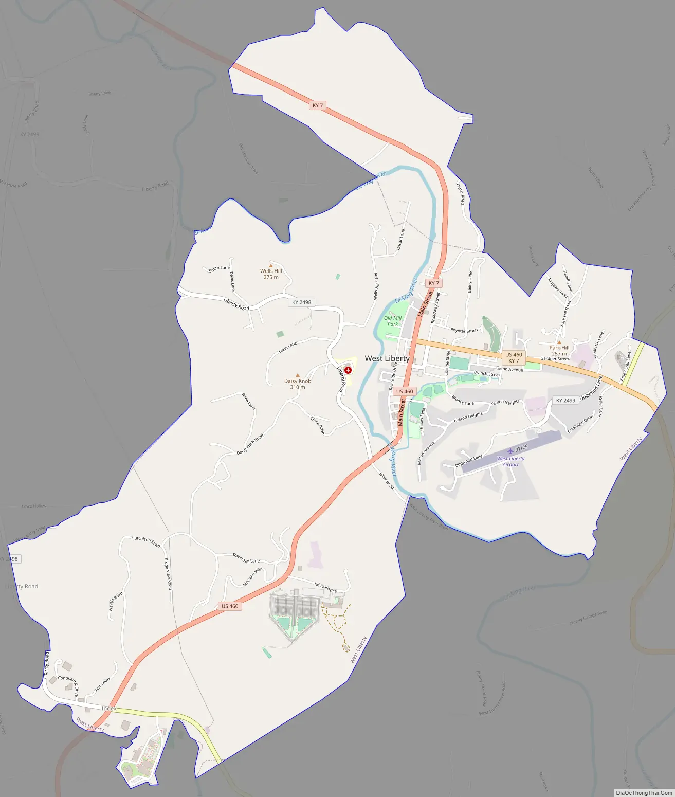
West Liberty Road Map
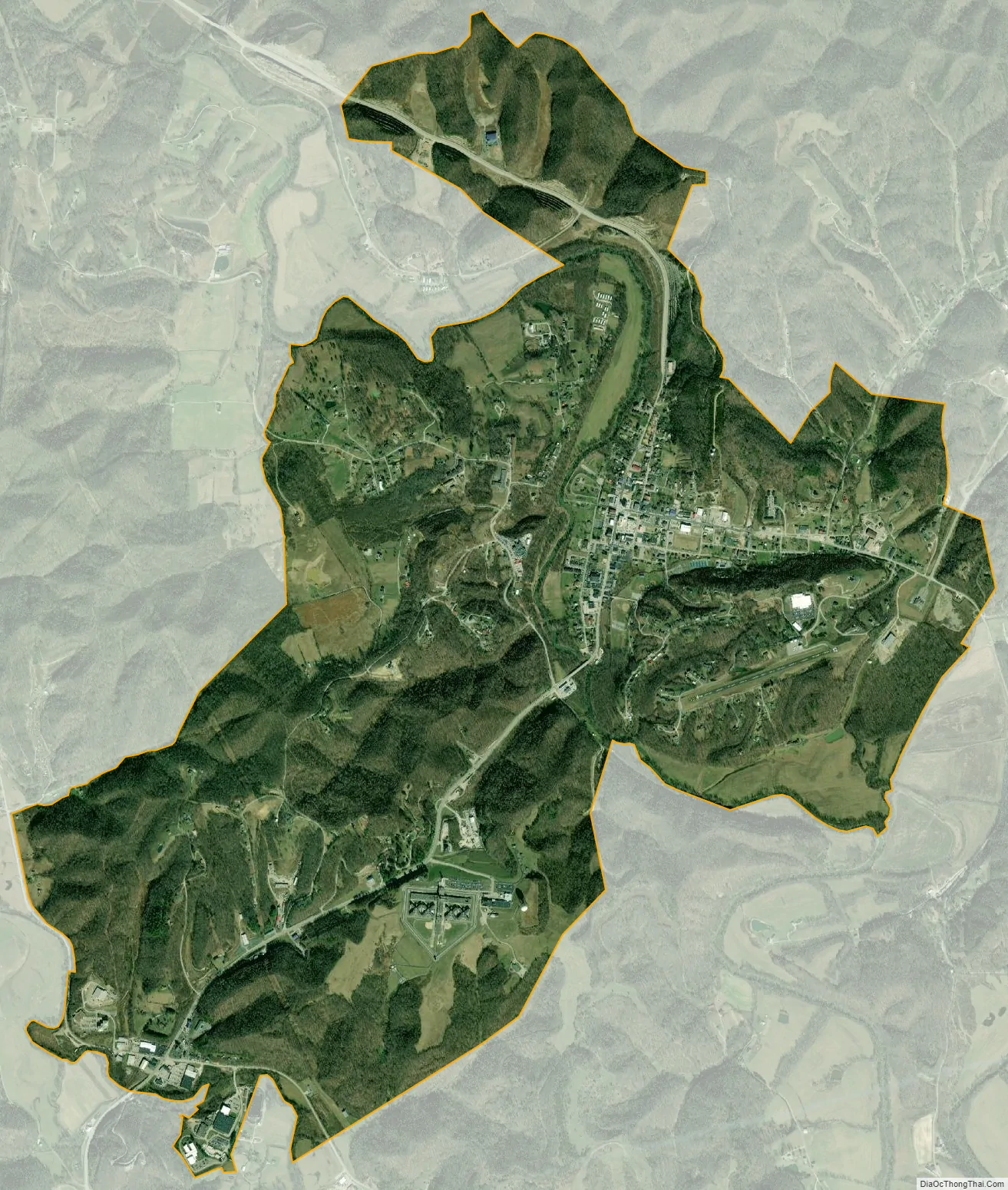
West Liberty city Satellite Map
Geography
West Liberty is located at 37°54′59″N 83°15′41″W / 37.91639°N 83.26139°W / 37.91639; -83.26139 (37.916320, -83.261386). It is within the state’s eastern region foothills, about 20 miles from Cave Run Lake and Daniel Boone National Forest and 15 miles from Paintsville Lake. According to the United States Census Bureau, the city has a total area of 4.4 square miles (11 km), all land.
See also
Map of Kentucky State and its subdivision:- Adair
- Allen
- Anderson
- Ballard
- Barren
- Bath
- Bell
- Boone
- Bourbon
- Boyd
- Boyle
- Bracken
- Breathitt
- Breckinridge
- Bullitt
- Butler
- Caldwell
- Calloway
- Campbell
- Carlisle
- Carroll
- Carter
- Casey
- Christian
- Clark
- Clay
- Clinton
- Crittenden
- Cumberland
- Daviess
- Edmonson
- Elliott
- Estill
- Fayette
- Fleming
- Floyd
- Franklin
- Fulton
- Gallatin
- Garrard
- Grant
- Graves
- Grayson
- Green
- Greenup
- Hancock
- Hardin
- Harlan
- Harrison
- Hart
- Henderson
- Henry
- Hickman
- Hopkins
- Jackson
- Jefferson
- Jessamine
- Johnson
- Kenton
- Knott
- Knox
- Larue
- Laurel
- Lawrence
- Lee
- Leslie
- Letcher
- Lewis
- Lincoln
- Livingston
- Logan
- Lyon
- Madison
- Magoffin
- Marion
- Marshall
- Martin
- Mason
- McCracken
- McCreary
- McLean
- Meade
- Menifee
- Mercer
- Metcalfe
- Monroe
- Montgomery
- Morgan
- Muhlenberg
- Nelson
- Nicholas
- Ohio
- Oldham
- Owen
- Owsley
- Pendleton
- Perry
- Pike
- Powell
- Pulaski
- Robertson
- Rockcastle
- Rowan
- Russell
- Scott
- Shelby
- Simpson
- Spencer
- Taylor
- Todd
- Trigg
- Trimble
- Union
- Warren
- Washington
- Wayne
- Webster
- Whitley
- Wolfe
- Woodford
- Alabama
- Alaska
- Arizona
- Arkansas
- California
- Colorado
- Connecticut
- Delaware
- District of Columbia
- Florida
- Georgia
- Hawaii
- Idaho
- Illinois
- Indiana
- Iowa
- Kansas
- Kentucky
- Louisiana
- Maine
- Maryland
- Massachusetts
- Michigan
- Minnesota
- Mississippi
- Missouri
- Montana
- Nebraska
- Nevada
- New Hampshire
- New Jersey
- New Mexico
- New York
- North Carolina
- North Dakota
- Ohio
- Oklahoma
- Oregon
- Pennsylvania
- Rhode Island
- South Carolina
- South Dakota
- Tennessee
- Texas
- Utah
- Vermont
- Virginia
- Washington
- West Virginia
- Wisconsin
- Wyoming