Elliott County is a county located in the U.S. state of Kentucky. Its county seat is Sandy Hook. The county was formed in 1869 from parts of Morgan, Lawrence, and Carter counties, and is named for John Lyle Elliott, U.S. Congressman, Confederate Justice of the Kentucky Court of Appeals. In regard to alcohol sales, Elliott County is a dry county, meaning the sale of alcoholic beverages is prohibited everywhere in the county.
| Name: | Elliott County |
|---|---|
| FIPS code: | 21-063 |
| State: | Kentucky |
| Founded: | 1869 |
| Named for: | John Lisle Elliott or John Milton Elliott |
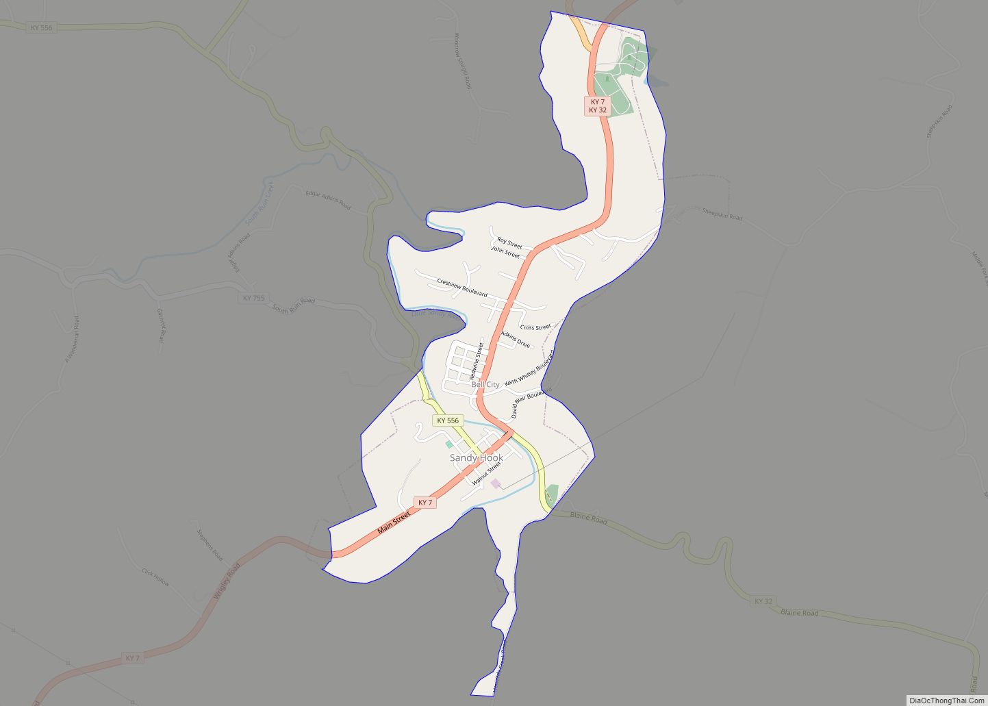
| Seat: | Sandy Hook |
| Largest city: | Sandy Hook |
| Total Area: | 235 sq mi (610 km²) |
| Land Area: | 234 sq mi (610 km²) |
| Total Population: | 7,354 |
| Population Density: | 31/sq mi (12/km²) |
| Time zone: | UTC−5 (Eastern) |
| Summer Time Zone (DST): | UTC−4 (EDT) |
| Website: | elliottcounty.ky.gov/Pages/default.aspx |
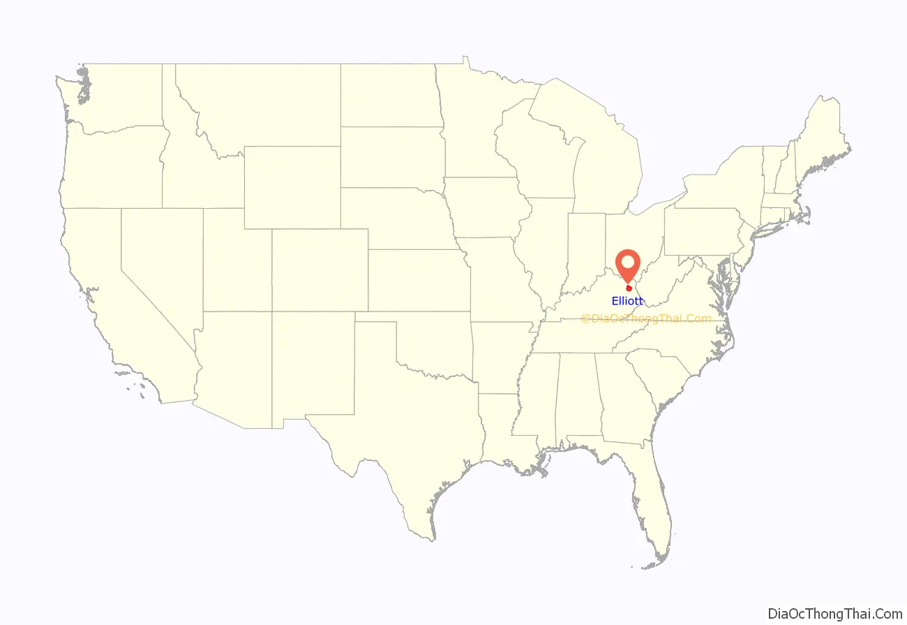
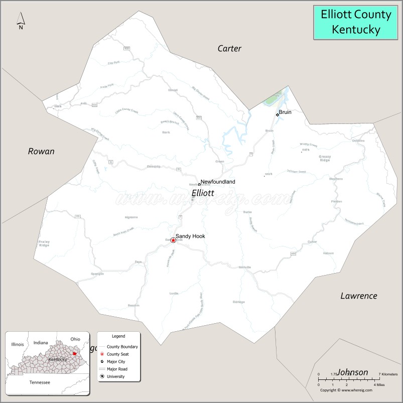
Elliott County location map. Where is Elliott County?
History
Elliott County was established in 1869 from land given by Carter, Lawrence, and Morgan counties. A fire at the courthouse in 1957 resulted in the destruction of many county records.
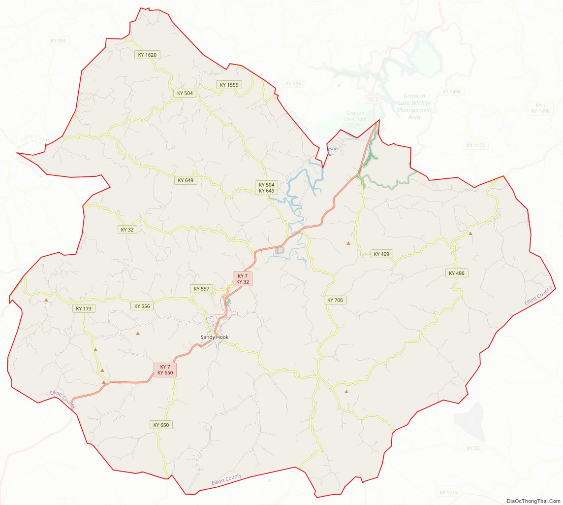
Elliott County Road Map
Geography
According to the U.S. Census Bureau, the county has a total area of 235 square miles (610 km), of which 234 square miles (610 km) is land and 1.0 square mile (2.6 km) (0.4%) is water.
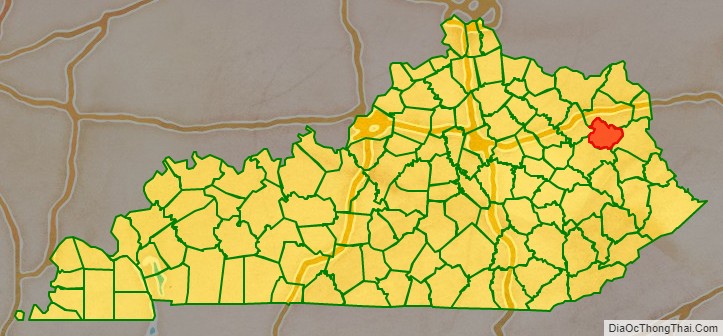
Adjacent counties
- Carter County (north)
- Lawrence County (east)
- Morgan County (south)
- Rowan County (west)
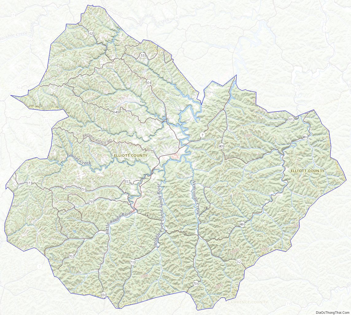
Elliott County Topographic Map
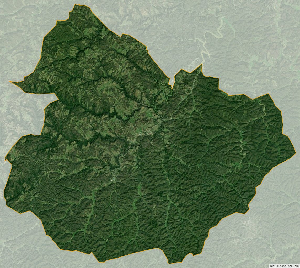
Elliott County Satellite Map
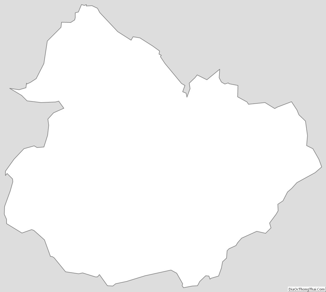
Elliott County Outline Map