Nacogdoches County (/ˌnækəˈdoʊtʃɪs/ NAK-ə-DOH-chiss) is a county located in the U.S. state of Texas. As of the 2010 census, its population was 64,653. Its county seat is Nacogdoches.
The Nacogdoches, Texas micropolitan statistical area includes all of Nacogdoches County.
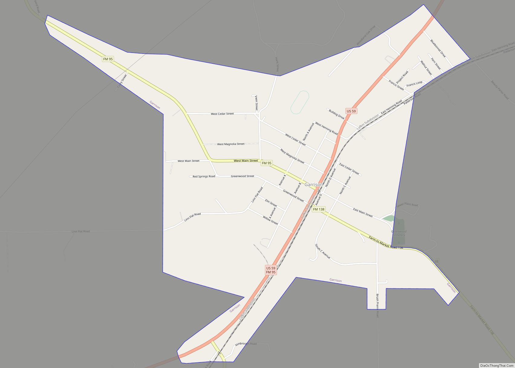
Nacogdoches hosts the Blueberry Festival in June. The county is the top blueberry producer in Texas and is headquarters for the Texas Blueberry Marketing Association. It tagged itself as the “Capital of the Texas Forest Country”.
| Name: | Nacogdoches County |
|---|---|
| FIPS code: | 48-347 |
| State: | Texas |
| Founded: | 1837 |
| Named for: | Nacogdoche people |
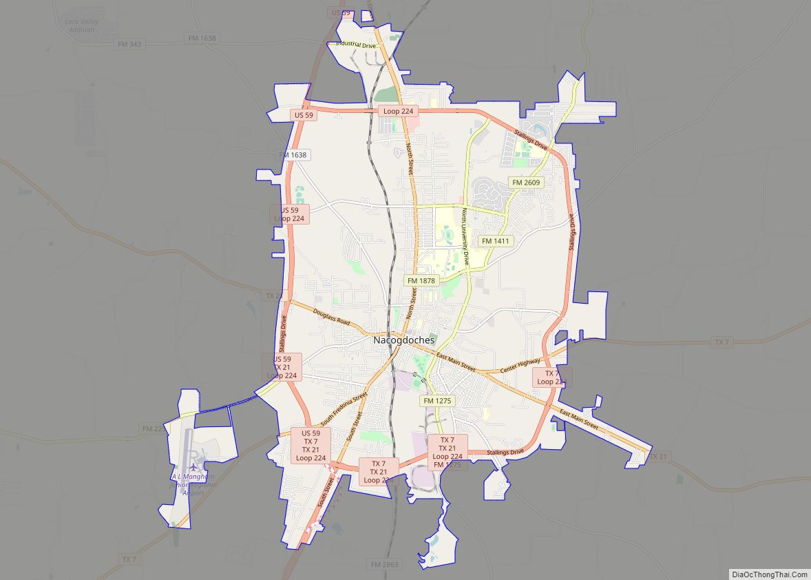
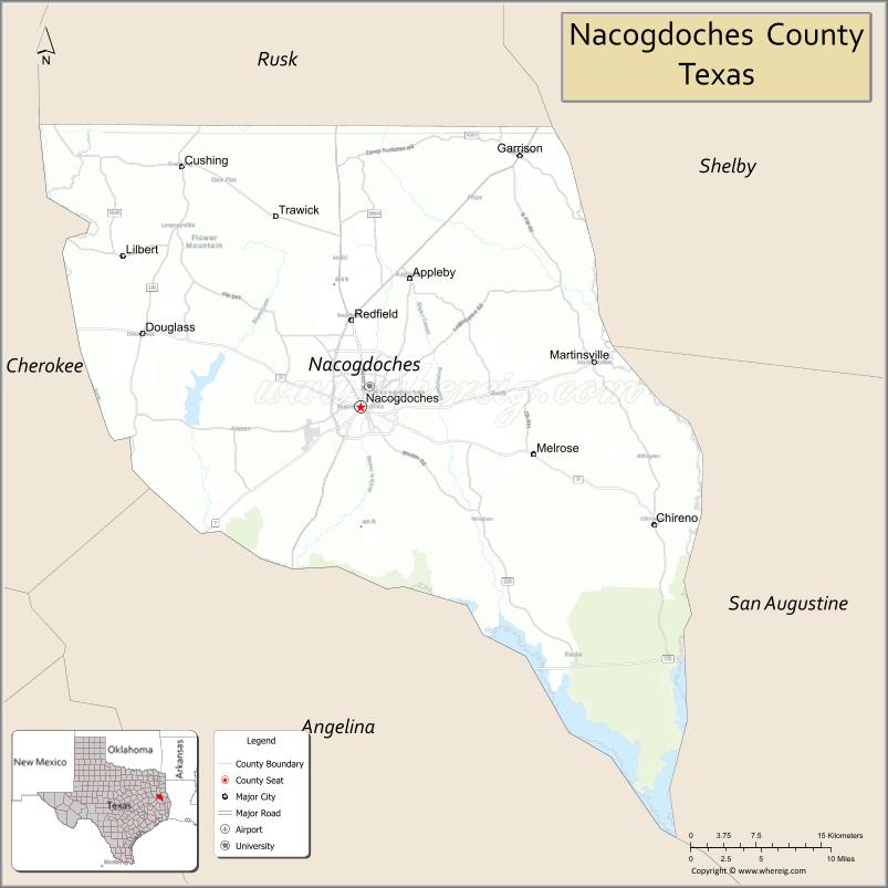
| Seat: | Nacogdoches |
| Largest city: | Nacogdoches |
| Total Area: | 981 sq mi (2,540 km²) |
| Land Area: | 947 sq mi (2,450 km²) |
| Total Population: | 64,653 |
| Population Density: | 66/sq mi (25/km²) |
| Time zone: | UTC−6 (Central) |
| Summer Time Zone (DST): | UTC−5 (CDT) |
| Website: | www.co.nacogdoches.tx.us |
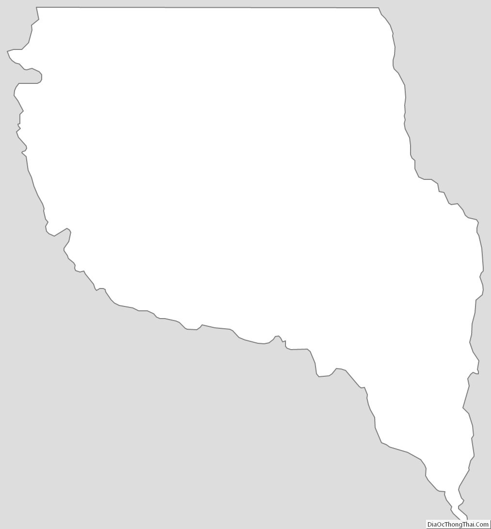
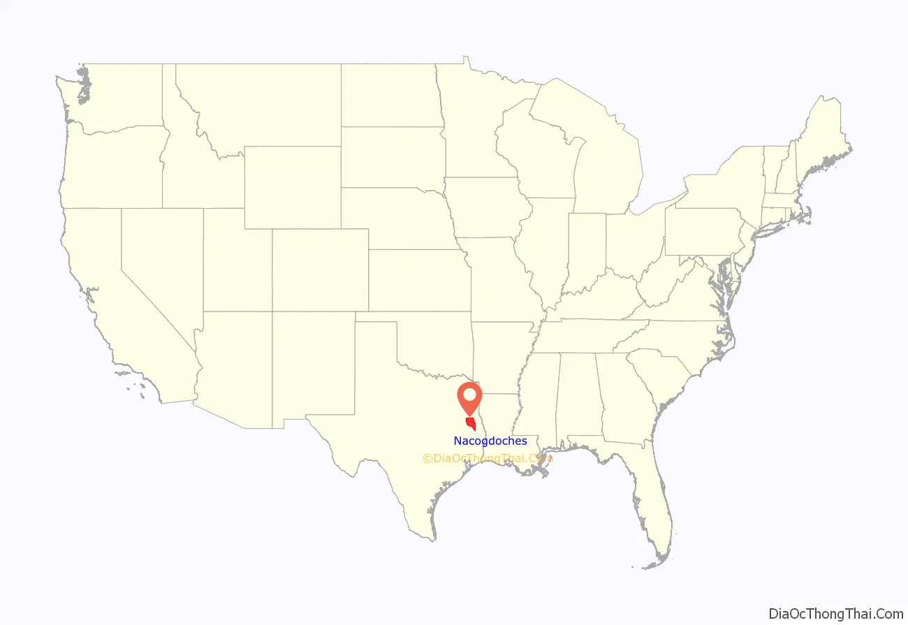
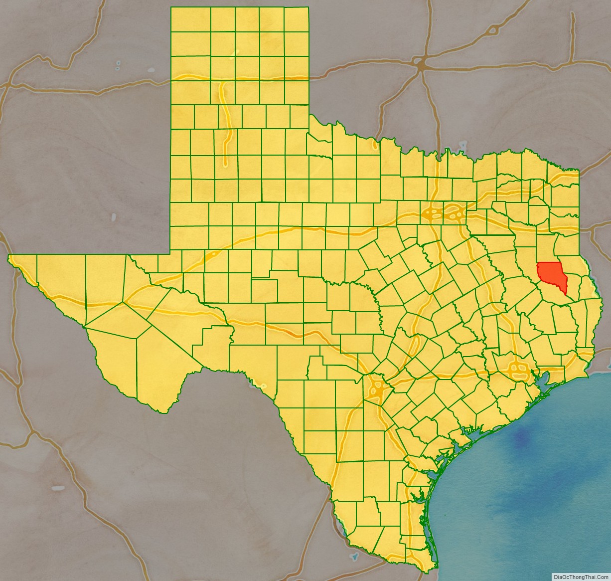
Nacogdoches County location map. Where is Nacogdoches County?
History
The county was created in 1826 as a municipality of Mexico and organized as a county in 1837.
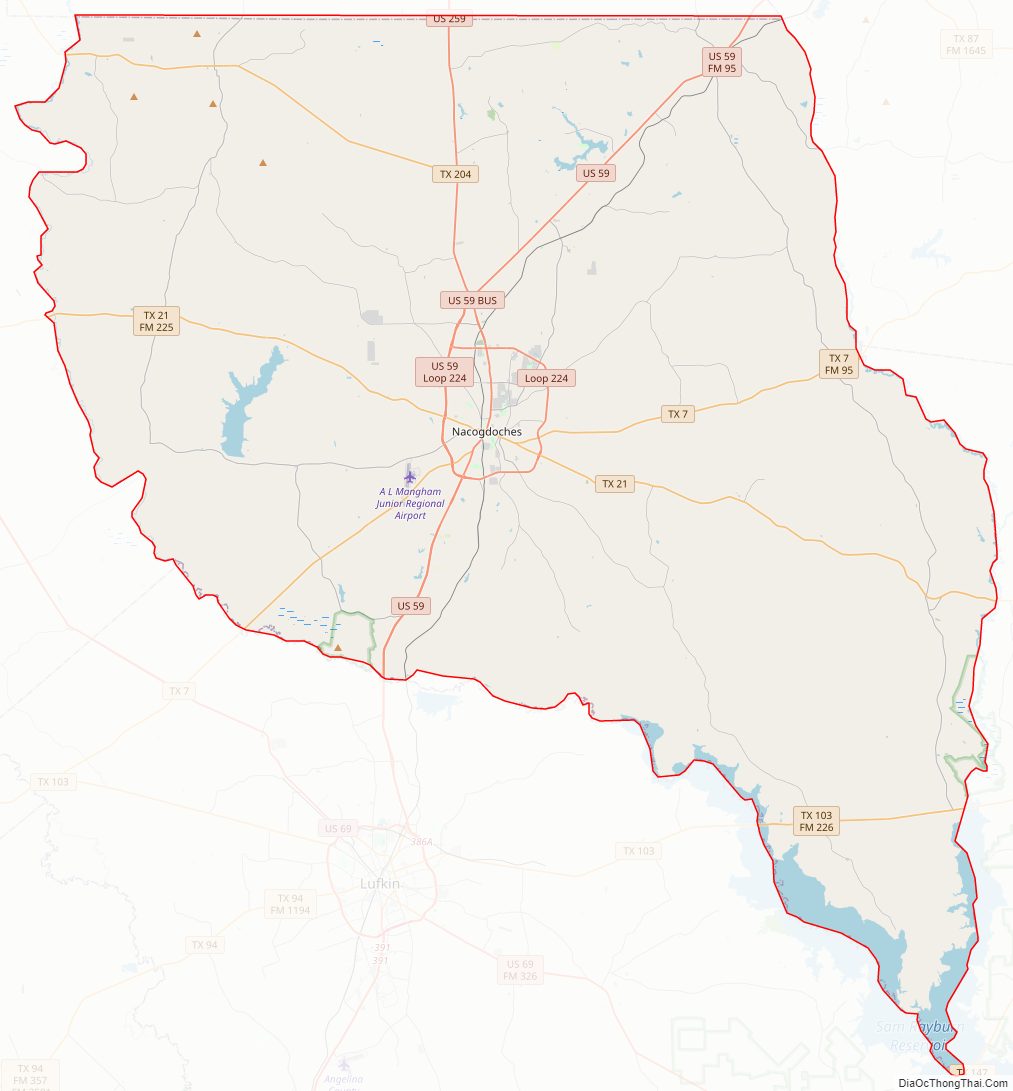
Nacogdoches County Road Map
Geography
According to the U.S. Census Bureau, the county has a total area of 981 square miles (2,540 km), of which 35 square miles (91 km) (3.5%) are covered by water.
Adjacent counties
- Rusk County (north)
- Shelby County (northeast)
- San Augustine County (southeast)
- Angelina County (south)
- Cherokee County (west)
National protected area
- Angelina National Forest (part)
Nacogdoches County Topographic Map
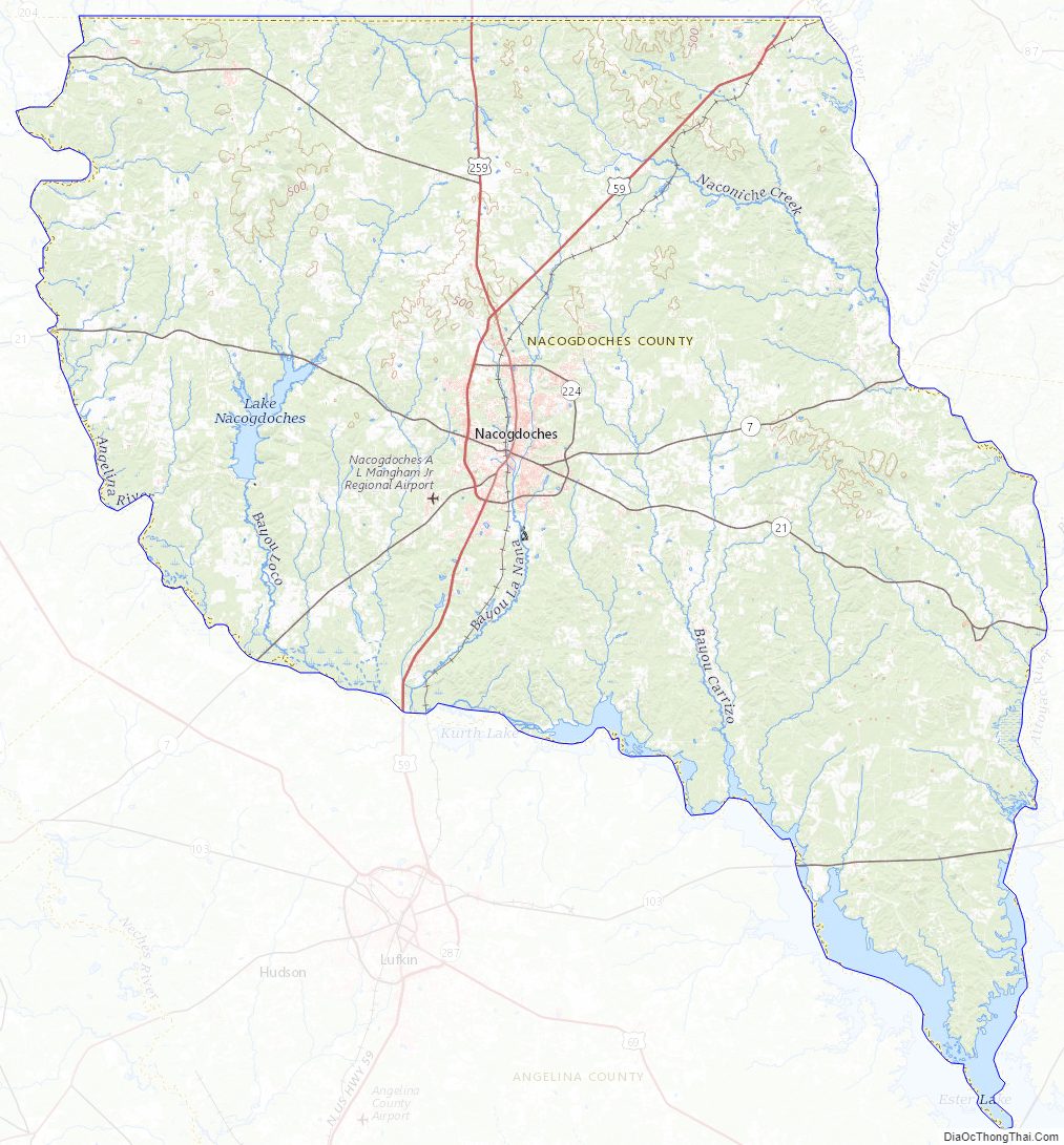
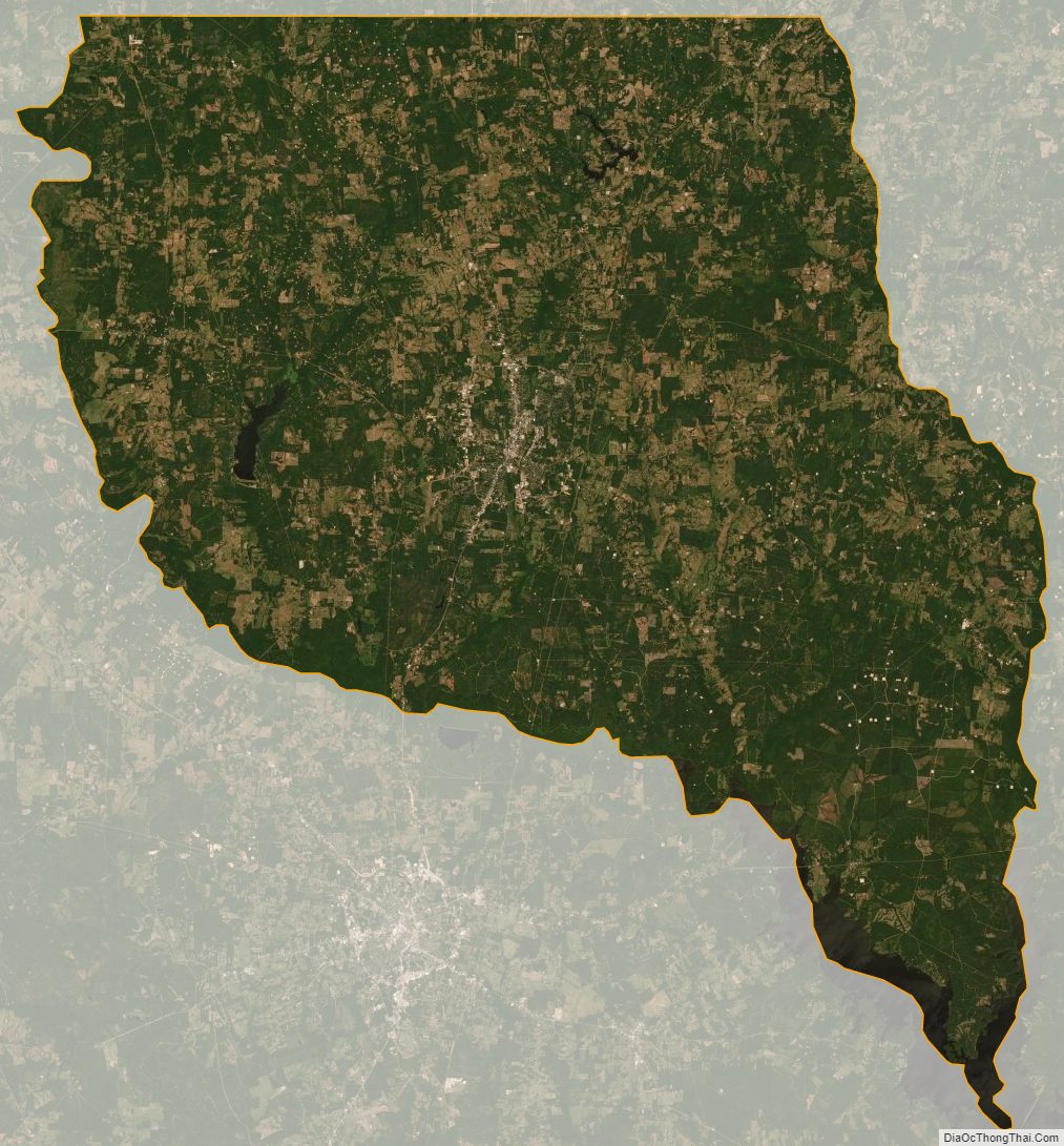
Nacogdoches County Satellite Map
Nacogdoches County Outline Map