| Name: | Rusk County |
|---|---|
| FIPS code: | 48-401 |
| State: | Texas |
| Founded: | 1843 |
| Named for: | Thomas Jefferson Rusk |
| Seat: | Henderson |
| Largest city: | Henderson |
| Total Area: | 938 sq mi (2,430 km²) |
| Land Area: | 924 sq mi (2,390 km²) |
| Total Population: | 52,214 |
| Population Density: | 56/sq mi (21/km²) |
| Time zone: | UTC−6 (Central) |
| Summer Time Zone (DST): | UTC−5 (CDT) |
| Website: | www.co.rusk.tx.us |
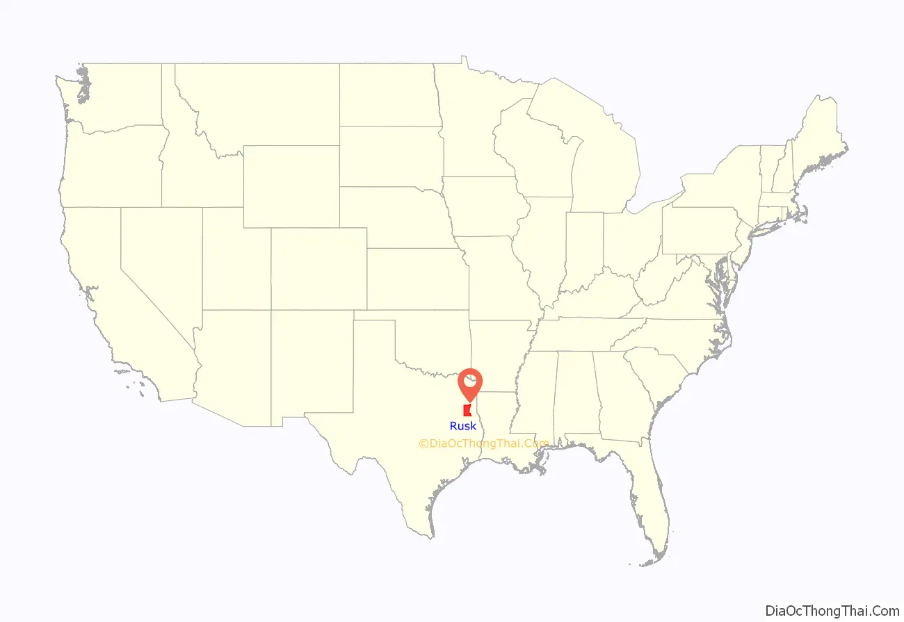
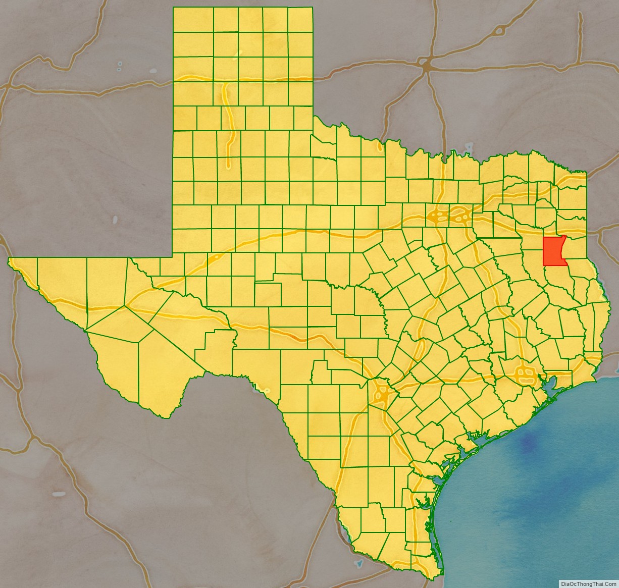
Rusk County location map. Where is Rusk County?
History
Prior to Texas annexation in 1845, the land while from time to time occupied by Caddoan peoples, was generally unpopulated until 1819 when Cherokee Indians, led by The Bowl settled in what is now Rusk County. The Treaty of Bowles Village on February 23, 1836, between the Republic of Texas and the Cherokee and twelve affiliated tribes, gave parts of western Rusk County along with parts of today’s Gregg and Van Zandt counties, in addition to the whole areas of Cherokee and Smith counties to the tribes. They remained on these lands until the Cherokee War in the summer of 1839. Thus the Cherokee were driven out of Rusk County only to return in 1844 and 1845 with the purchase of 10,000 acres of land by Benjamin Franklin Thompson a white man married to a Cherokee. This established the Mount Tabor Indian Community, some six miles south of present-day Kilgore that later spread to incorporate areas near Troup, Arp and Overton, Texas. Originally organized as a part of Nacogdoches County, Rusk was established as its own county by the Congress of the Republic of Texas on January 16, 1843. By 1850, it was the second-most populous county in Texas of the 78 counties that had been organized at that time, according to the 1850 census. Rusk County’s population was 8,148 then; it was surpassed only by Harrison County with 11,822 people.
With the discovery of oil in Joinerville in October 1930, an oil boom began that caused county population to nearly double during the next decade, and caused dramatic changes in the county towns. Rusk is one of the five counties that are part of the East Texas Oil Field, whose production has been a major part of the economy since that time.
Rusk County was one of 25 entirely dry counties in Texas until January 2012. The city of Henderson at that time opted to allow selling and serving beer and wine.
America’s worst school disaster happened in Rusk County in 1937, when nearly 300 people, most of them children, were killed in a natural gas explosion at the London Independent School District (which has since consolidated into West Rusk County Consolidated Independent School District).
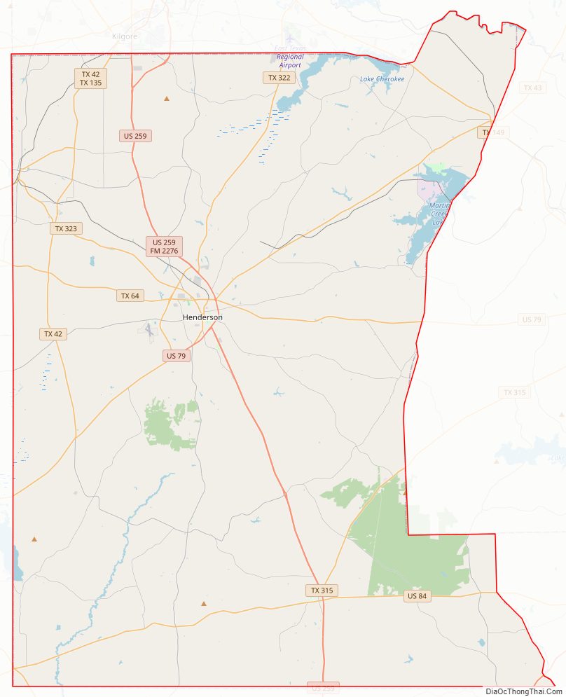
Rusk County Road Map
Geography
According to the U.S. Census Bureau, the county has a total area of 938 square miles (2,430 km), of which 924 square miles (2,390 km) is land and 14 square miles (36 km) (1.5%) is covered by water.
Major highways
- U.S. Highway 79
- U.S. Highway 84
- U.S. Highway 259
- State Highway 42
- State Highway 43
- State Highway 64
- State Highway 135
- State Highway 149
- State Highway 315
- State Highway 322
- State Highway 323
- U.S. Highway 59
- Interstate 69 is currently under construction and will follow the current route of U.S. 59 in most places.
Adjacent counties
- Smith County (northwest)
- Gregg County (north)
- Harrison County (northeast)
- Panola County (east)
- Shelby County (southeast)
- Nacogdoches County (south)
- Cherokee County (southwest)
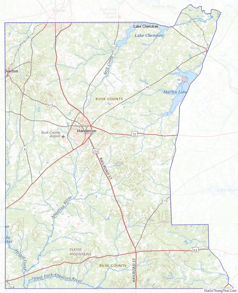
Rusk County Topographic Map
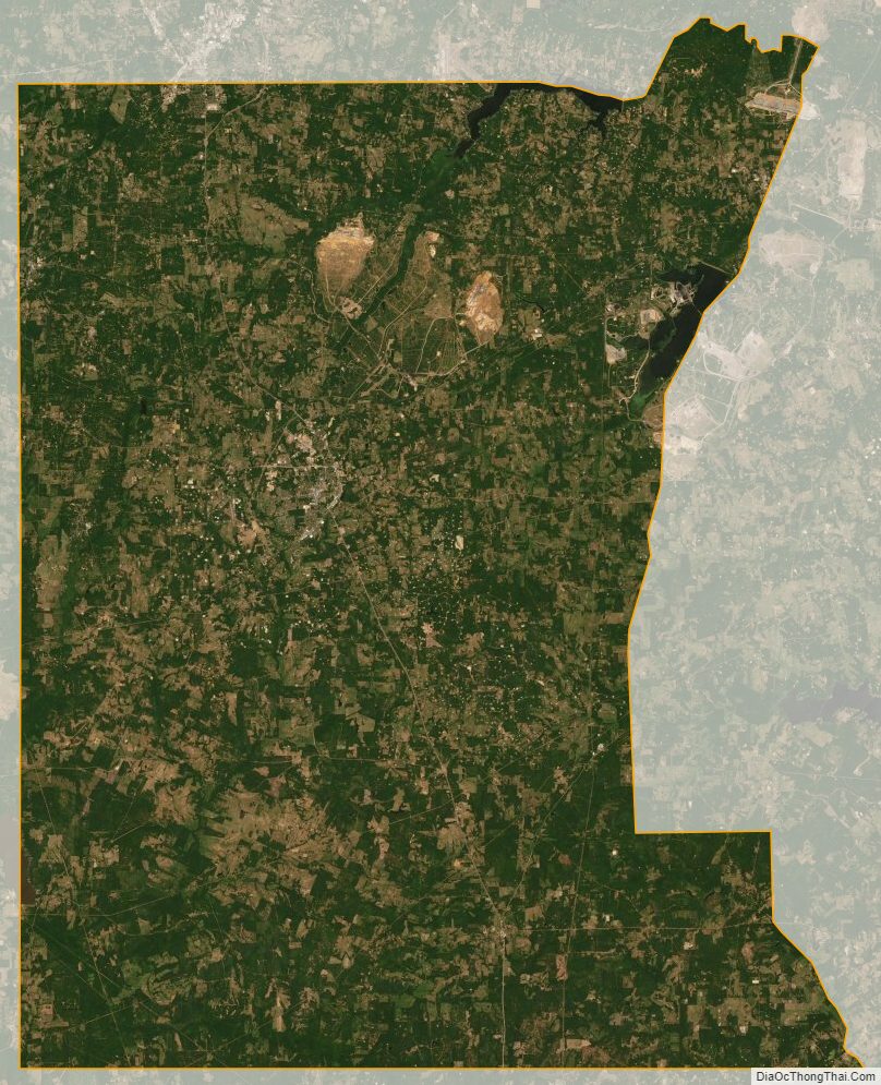
Rusk County Satellite Map
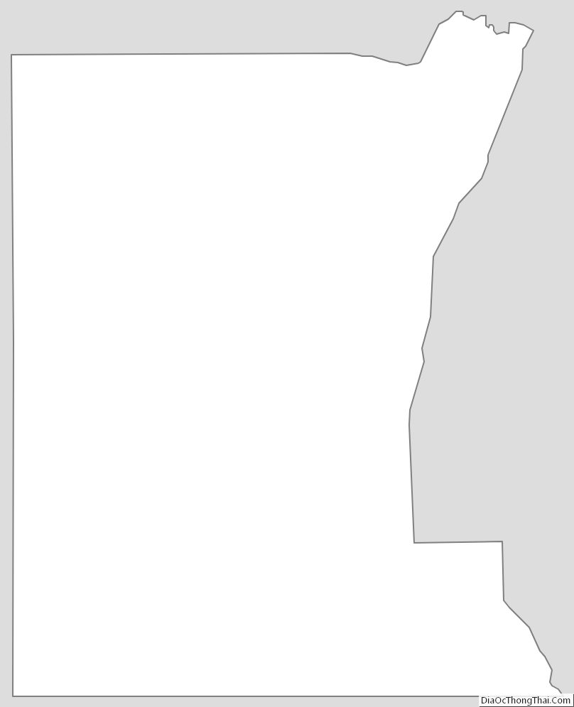
Rusk County Outline Map