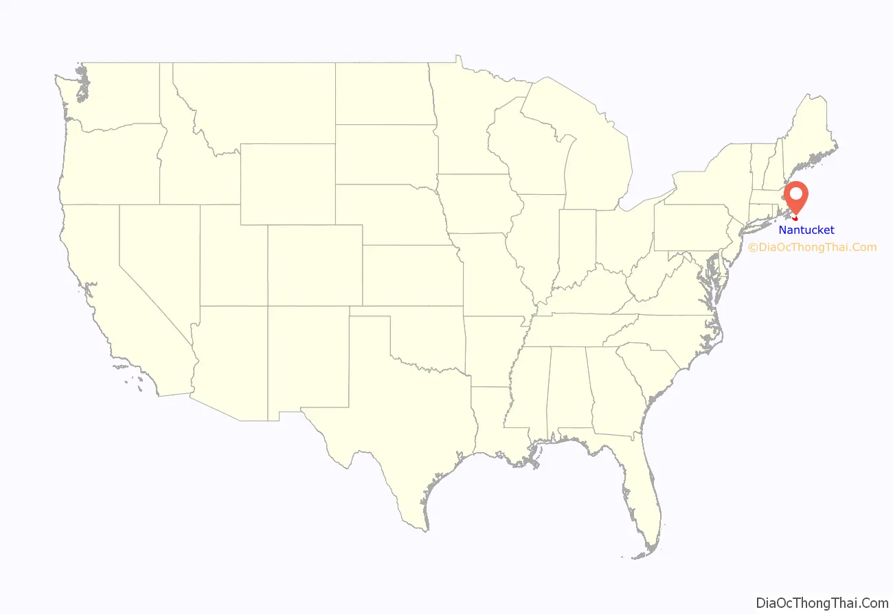
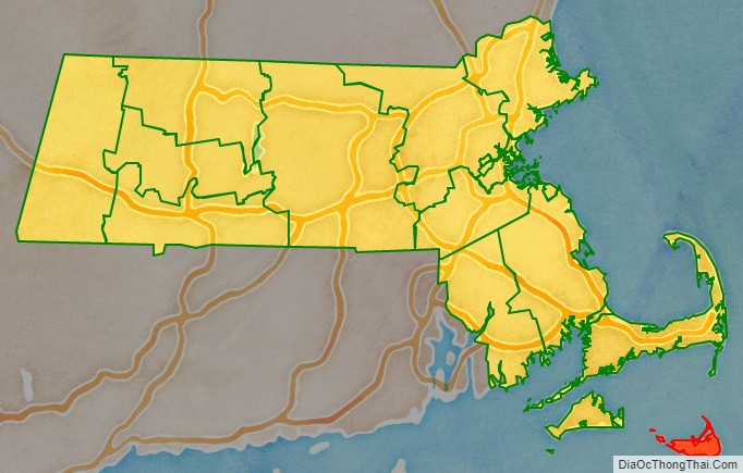
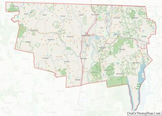
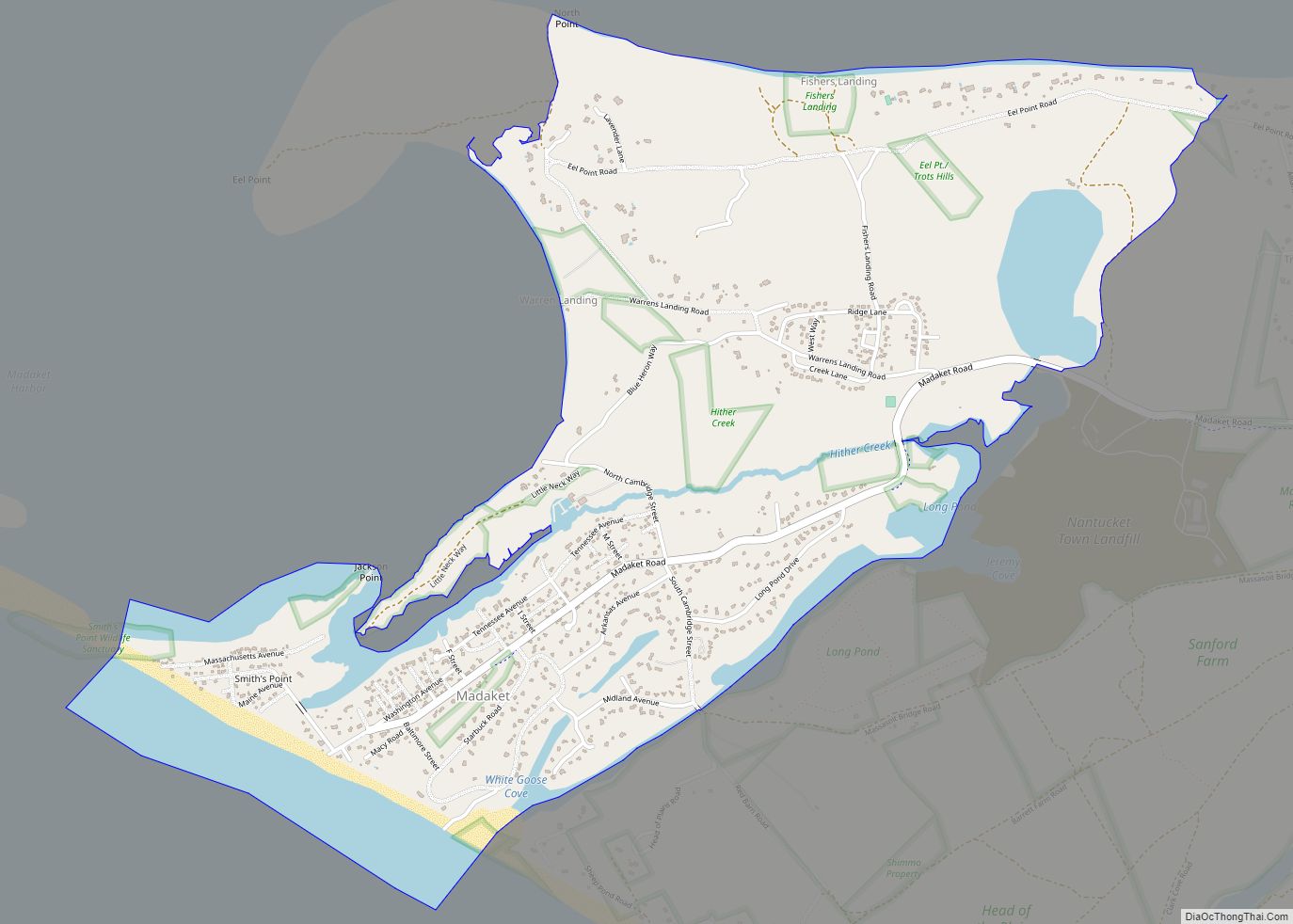
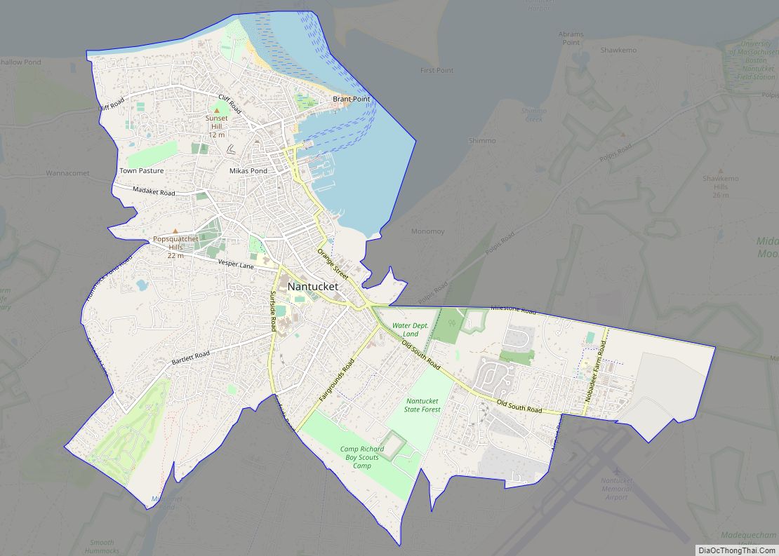
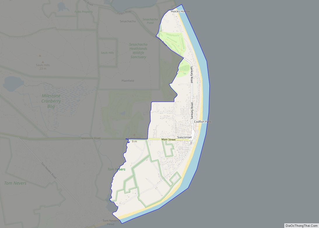
Nantucket (/ˌnænˈtʌkɪt/) is an island about 30 miles (50 km) south from Cape Cod. Together with the small islands of Tuckernuck and Muskeget, it constitutes the Town and County of Nantucket, a combined county/town government that is part of the U.S. state of Massachusetts. It is the only such consolidated town-county in Massachusetts. As of the 2020 census, the population was 14,255, making it the least populated county in Massachusetts. Part of the town is designated the Nantucket CDP, or census-designated place. The region of Surfside on Nantucket is the southernmost settlement in Massachusetts.
The name “Nantucket” is adapted from similar Algonquian names for the island, but is very similar to the endonym of the native Nehantucket tribe that occupied the region at the time of European settlement.
Nantucket is a tourist destination and summer colony. Due to tourists and seasonal residents, the population of the island increases to at least 50,000 during the summer months. The average sale price for a single-family home was $2.3 million in the first quarter of 2018.
The National Park Service cites Nantucket, designated a National Historic Landmark District in 1966, as being the “finest surviving architectural and environmental example of a late 18th- and early 19th-century New England seaport town.”
Nantucket is accessible by boat, ferry, or airplane.
| Name: | Nantucket County |
|---|---|
| FIPS code: | 25-019 |
| State: | Massachusetts |
| Total Area: | 105.3 sq mi (272.6 km²) |
| Land Area: | 47.8 sq mi (123.8 km²) |
| Total Population: | 14,255 |
| Population Density: | 308.6/sq mi (115.1/km²) |
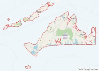
Nantucket County location map. Where is Nantucket County?
History
Etymology
Nantucket probably takes its name from a Wampanoag word, transliterated variously as natocke, nantaticu, nantican, nautica or natockete, which is part of Wampanoag lore about the creation of Martha’s Vineyard and Nantucket. The meaning of the term is uncertain, although according to the Encyclopædia Britannica it may have meant “far away island” or “sandy, sterile soil tempting no one”. Wampanoag is an Eastern Algonquian language of southern New England. The Nehantucket (known to Europeans as the Niantic) were an Algonquin-speaking people of the area.
Nantucket’s nickname, “The Little Grey Lady of the Sea”, refers to the island as it appears from the ocean when it is fog-bound.
European colonization
The earliest European settlement in the region was established on the neighboring island of Martha’s Vineyard by the English-born merchant Thomas Mayhew. In 1641, Thomas secured Martha’s Vineyard, Nantucket, the Elizabeth Islands, and other islands in the region as a proprietary colony from Sir Ferdinando Gorges and the Earl of Sterling. Thomas led several families to settle the region, establishing several treaties with the indigenous inhabitants of Nantucket, the Wampanoag people. These treaties helped prevent the region from becoming embroiled in King Philip’s War. The growing population of settlers welcomed seasonal groups of other Native American tribes who traveled to the island to fish and later harvest whales that washed up on shore. Nantucket was officially part of Dukes County, New York, until 17 October 1691, when the charter for the newly formed Province of Massachusetts Bay was signed. Following the arrival of the new Royal Governor on 14 May 1692 to effectuate the new government, Nantucket County was partitioned from Dukes County, Massachusetts in 1695.
Nantucket settlers
In October 1641, William Alexander, the Earl of Stirling, deeded the island to Thomas Mayhew of Watertown, Massachusetts. In 1659, Mayhew sold an interest in the island to nine other purchasers, reserving one-tenth of an interest for himself, “for the sum of thirty pounds … and also two beaver hats, one for myself, and one for my wife”.
Each of the ten original owners was allowed to invite one partner. There is some confusion about the identity of the first twenty owners, partly because William Pile did not choose a partner and sold his interest to Richard Swain, which was subsequently divided between John Bishop and the children of George Bunker.
Anxious to add to their number and to induce tradesmen to come to the island, the total number of shares were increased to twenty-seven. The original purchasers needed the assistance of tradesmen who were skilled in the arts of weaving, milling, building and other pursuits and selected men who were given half a share provided that they lived on Nantucket and carried on their trade for at least three years.
By 1667, twenty-seven shares had been divided among 31 owners.
European settlement of Nantucket did not begin in earnest until 1659, when Thomas Mayhew sold his interest to a group of investors, led by Tristram Coffin. The “nine original purchasers” were Tristram Coffin, Peter Coffin, Thomas Macy, Christopher Hussey, Richard Swain, Thomas Barnard, Stephen Greenleaf, John Swain and William Pile. These men are considered the founding fathers of Nantucket, and many islanders are related to these families. Seamen and tradesmen began to populate Nantucket, such as Richard Gardner (arrived 1667) and Capt. John Gardner (arrived 1672), sons of Thomas Gardner. The first settlers focused on farming and raising sheep, but overgrazing and the growing number of farms made these activities untenable, and the islanders soon began turning to the sea for a living.
Before 1795, the town on the island was called Sherburne. The original settlement was near Capaum Pond. At that time, the pond was a small harbor whose entrance silted up, forcing the settlers to dismantle their houses and move them northeast by two miles to the present location. On June 8, 1795, the bill proposed by Micajah Coffin to change the town’s name to the “Town of Nantucket” was endorsed and signed by Governor Samuel Adams to officially change the town name.
The whaling industry
In his 1835 history of Nantucket Island, Obed Macy wrote that in the early pre-1672 colony, a whale of the kind called “scragg” entered the harbor and was pursued and killed by the settlers. This event started the Nantucket whaling industry. A. B. Van Deinse points out that the “scrag whale”, described by P. Dudley in 1725 as one of the species hunted by early New England whalers, was almost certainly the gray whale, which has flourished on the west coast of North America in modern times with protection from whaling.
In the beginning of the 17th century, whaling on Nantucket was usually done from small boats launched from the island’s shores, which would tow killed whales to be processed on the beach. These boats were only about seven meters long, with mostly Wampanoag manpower, sourced from a system of debt servitude established by English Nantucketers—a typical boat’s crew had five Wampanoag oarsmen and a single white Nantucketer at the steering oar. Author Nathaniel Philbrick notes that “without the native population, which outnumbered the white population well into the 1720s, the island would never have become a successful whaling port.”
Nantucket’s dependence on trade with Britain, derived from its whaling and supporting industries, influenced its leading citizens to remain neutral during the American Revolutionary War, favoring neither the British nor the Patriots.
Herman Melville commented on Nantucket’s whaling dominance in Moby-Dick, Chapter 14: “Two thirds of this terraqueous globe are the Nantucketer’s. For the sea is his; he owns it, as Emperors own empires”. The Moby-Dick characters Ahab and Starbuck are both from Nantucket. The tragedy that inspired Melville to write his novel Moby-Dick was the final voyage of the Nantucket whaler Essex.
The island suffered great economic hardships, worsened by the “Great Fire” of July 13, 1846, that, fueled by whale oil and lumber, devastated the main town, burning some 40 acres (16 hectares). The fire left hundreds homeless and poverty-stricken, and many people left the island. By 1850, whaling was in decline, as Nantucket’s whaling industry had been surpassed by that of New Bedford. Another contributor to the decline was the silting up of the harbor, which prevented large whaling ships from entering and leaving the port, unlike New Bedford, which still owned a deep water port. In addition, the development of railroads made mainland whaling ports, such as New Bedford, more attractive because of the ease of transshipment of whale oil onto trains, an advantage unavailable to an island. The American Civil War dealt the death blow to the island’s whaling industry, as virtually all of the remaining whaling vessels were destroyed by Confederate commerce raiders.
Later history
As a result of this depopulation, the island was left under-developed and isolated until the mid-20th century. The isolation kept many of the pre-Civil War buildings intact and, by the 1950s, enterprising developers began buying up large sections of the island and restoring them to create an upmarket destination for wealthy people in the Northeastern United States.
Nantucket and towns on Martha’s Vineyard contemplated seceding from the Commonwealth of Massachusetts, which they considered at various town meetings in 1977, unsuccessfully. The votes were sparked by a proposed change to the Massachusetts Constitution that would have reduced the size of the state’s House of Representatives from 240 to 160 members and would therefore reduce the islands’ representation in the Massachusetts General Court.
