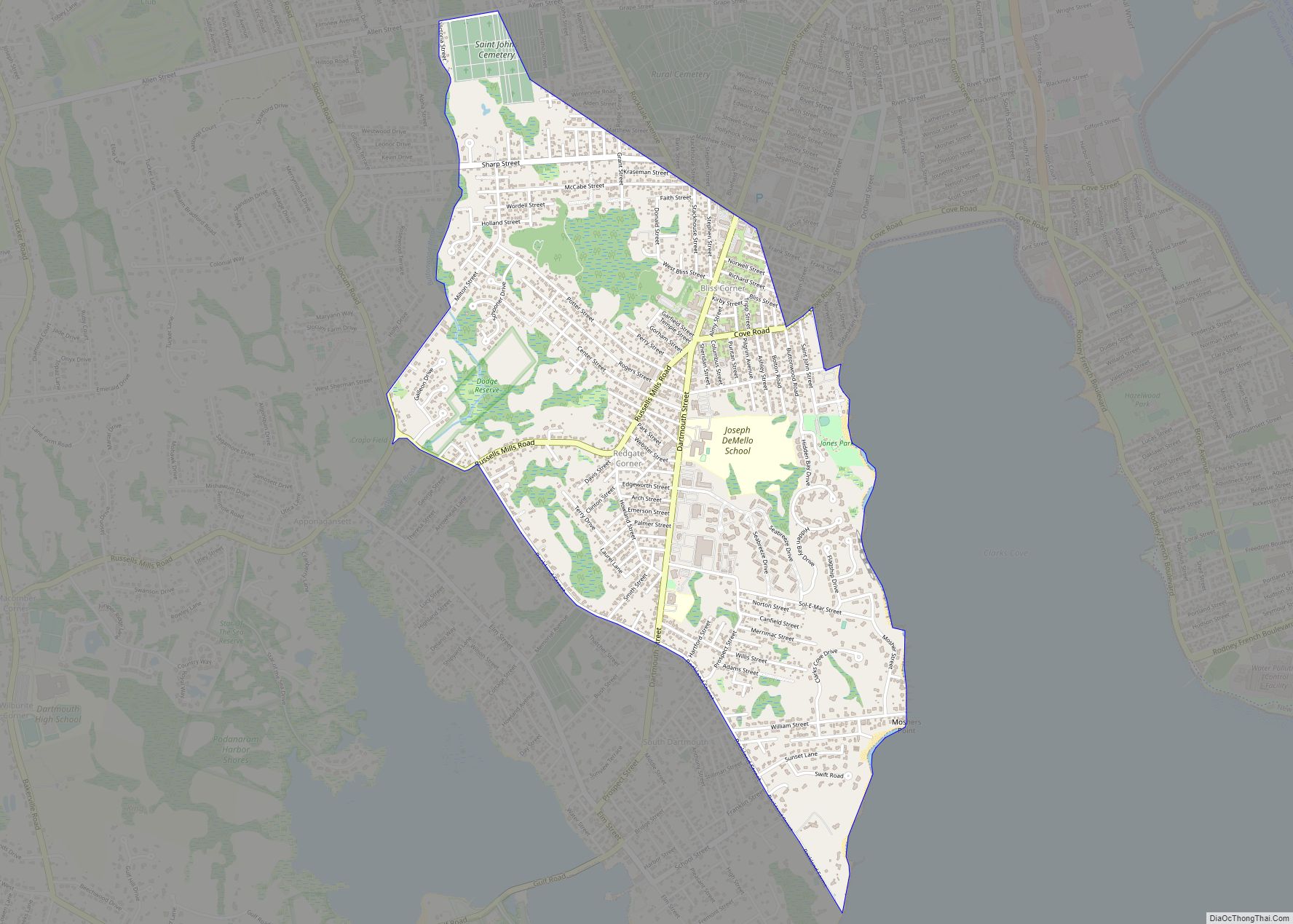
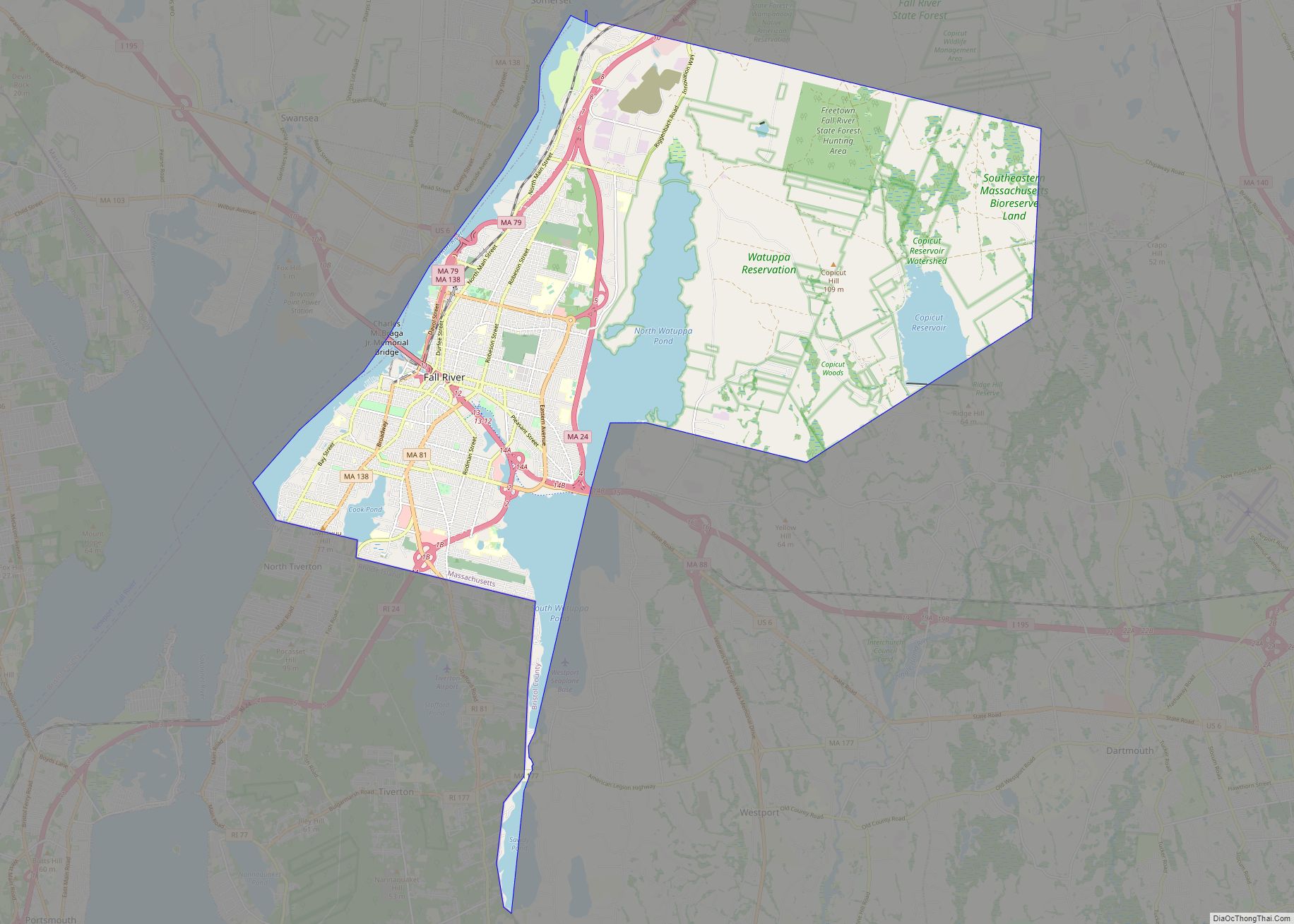
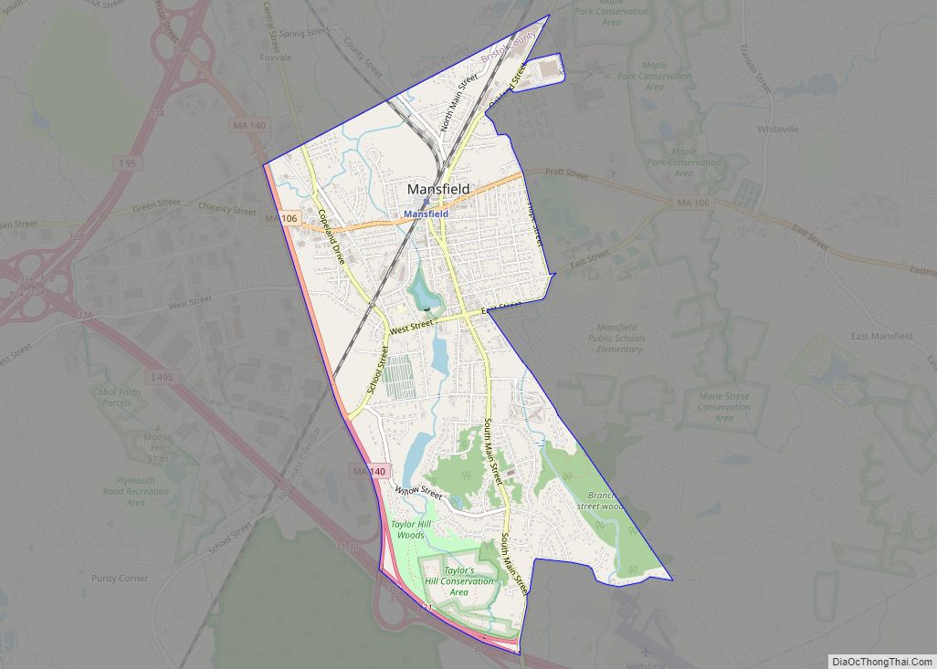
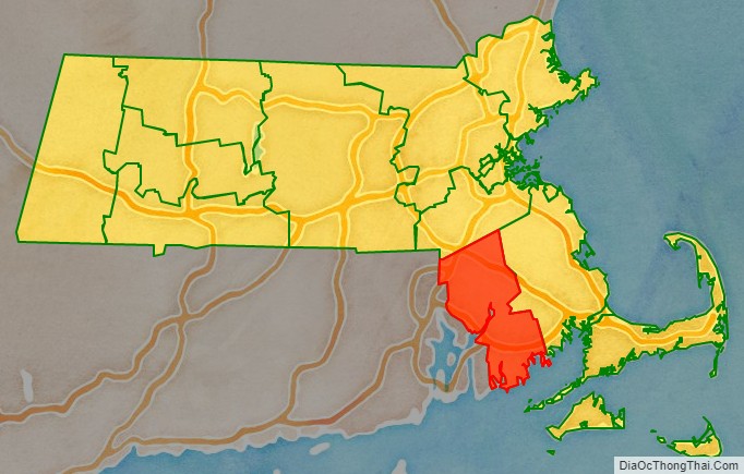
Bristol County is a county in the Commonwealth of Massachusetts. As of the 2020 census, the population was 579,200. The shire town is Taunton. Some governmental functions are performed by the Commonwealth of Massachusetts, others by the county, and others by local towns and cities.
Bristol County is part of the Providence–Warwick, RI-MA Metropolitan Statistical Area, which is also included in the Boston–Worcester-Providence, MA-RI-NH–CT Combined Statistical Area. The county is adjacent to the state of Rhode Island. It is geographically adjacent to the Massachusetts counties of Plymouth, Norfolk, and Dukes (via water), and the Rhode Island counties of Bristol, Newport, and Providence.
| Name: | Bristol County |
|---|---|
| FIPS code: | 25-005 |
| State: | Massachusetts |
| Founded: | 1685 |
| Named for: | Bristol, Rhode Island |
| Seat: | Taunton |
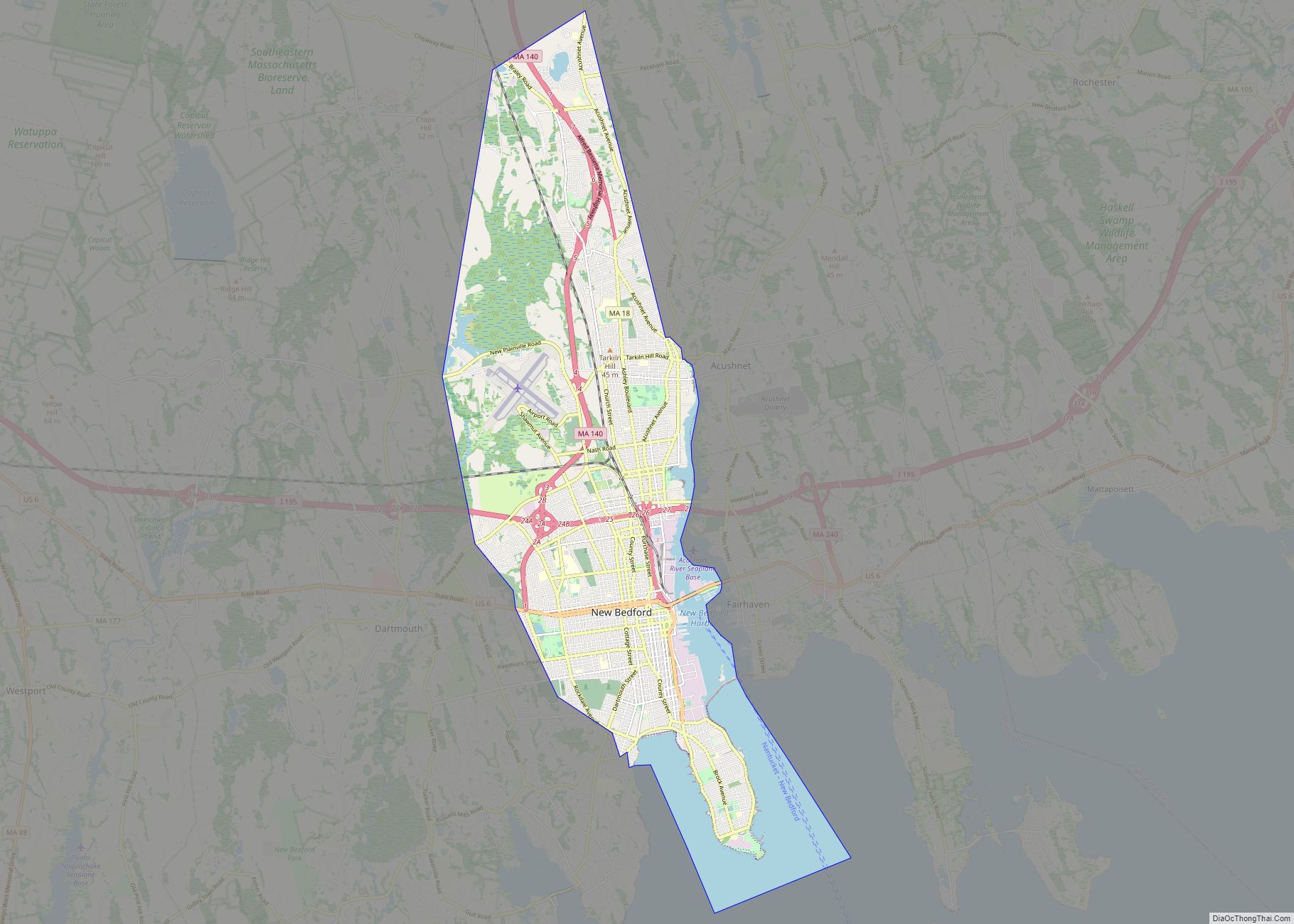
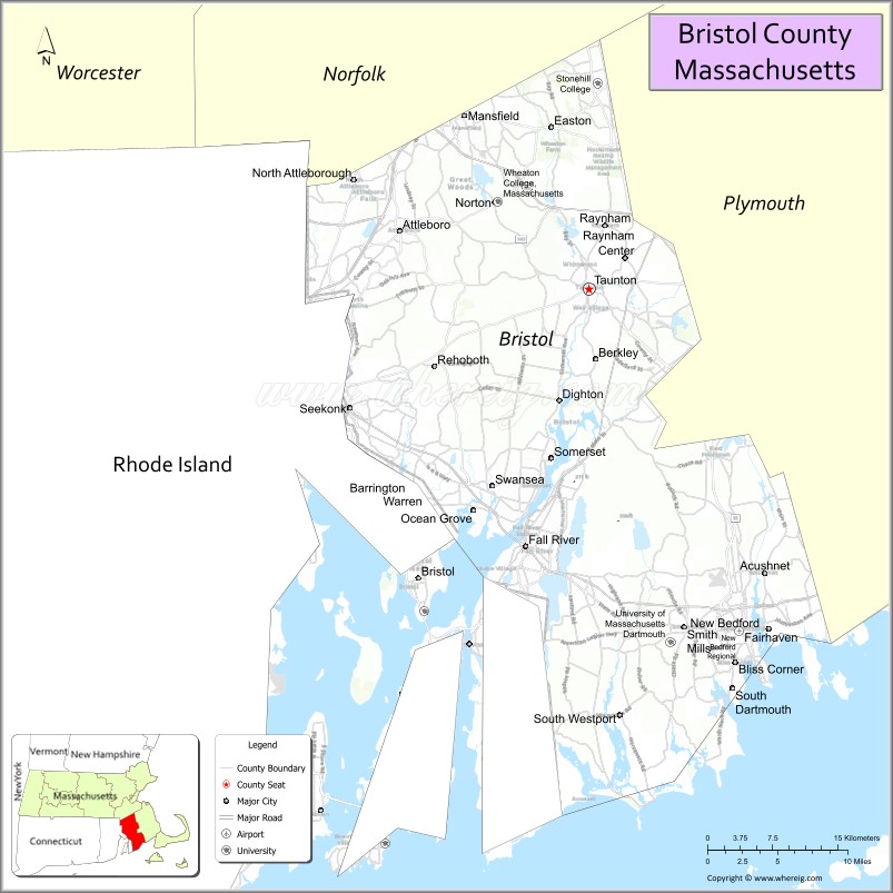
| Largest city: | New Bedford |
| Total Area: | 691 sq mi (1,790 km²) |
| Land Area: | 553 sq mi (1,430 km²) |
| Total Population: | 579,200 |
| Population Density: | 1,047.2/sq mi (404.3/km²) |
| Time zone: | UTC−5 (Eastern) |
| Summer Time Zone (DST): | UTC−4 (EDT) |
| Website: | www.countyofbristol.net |
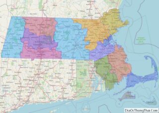
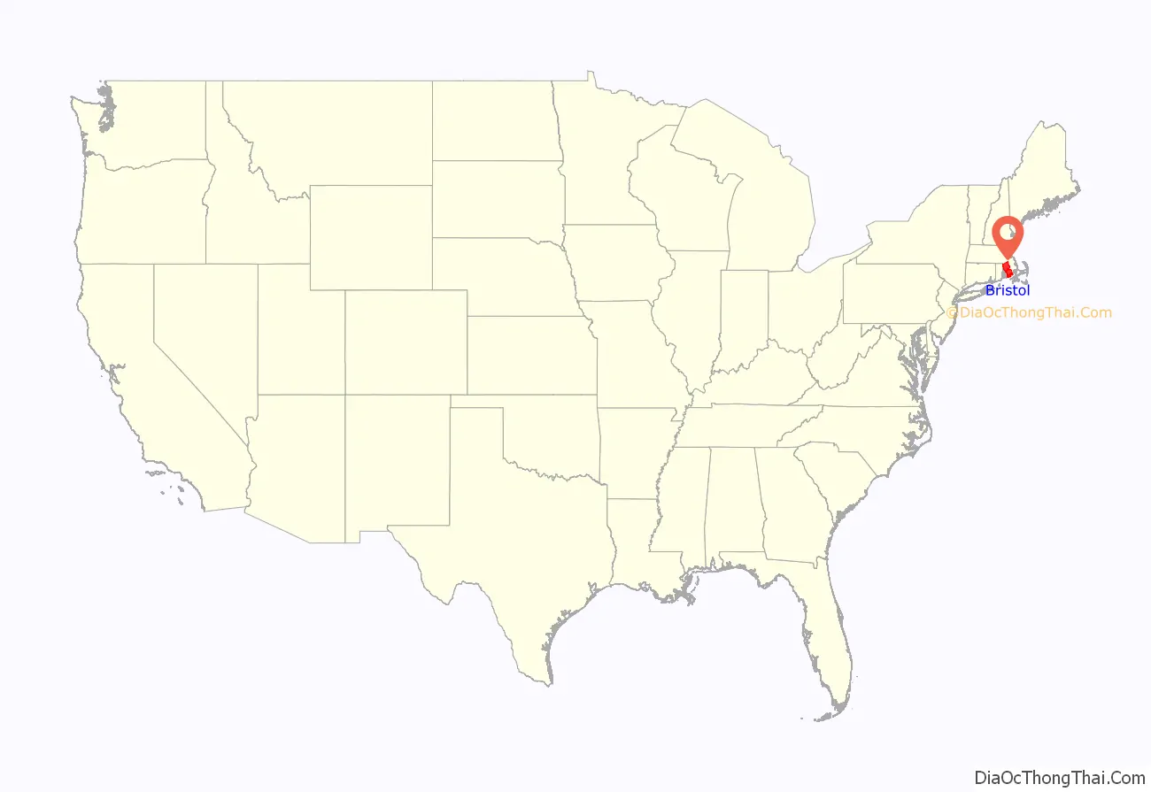
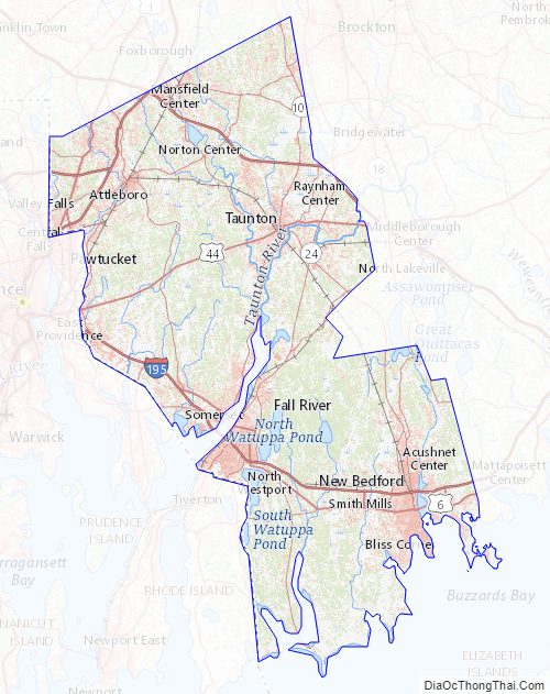
Bristol County location map. Where is Bristol County?
History
Bristol County was created by the Plymouth Colony on June 2, 1685, and named after its “shire town” (county seat), Bristol. The Plymouth Colony, along with the Massachusetts Bay Colony, the Maine Colony and several other small settlements were rechartered in 1691, by King William III, to become The Province of Massachusetts Bay.
The towns of Bristol, Barrington, and Warren were awarded to Rhode Island in 1746 as part of the settlement of a long-running boundary dispute (see History of Massachusetts), forming Bristol County, Rhode Island. At the same time, Cumberland, Rhode Island was carved out of Attleborough, Massachusetts and annexed to Providence County, Rhode Island; Tiverton and Little Compton were transferred to Newport County, Rhode Island. East Freetown was officially purchased by Freetown, Massachusetts, from Tiverton in 1747, and so remained on the Massachusetts side.
After the departure of Bristol, Taunton was made the shire town of the county. A second county courthouse was constructed in 1828 in the growing town of New Bedford (designed a “half-shire town”). In 1862, a part of Seekonk (that portion of which is now East Providence, Rhode Island) and the entirety of East Pawtucket were transferred to Providence County, Rhode Island. At the same time, land ceded from Rhode Island was added to Fall River and Westport. The growing Fall River became the site of the third county courthouse in 1877.
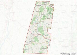
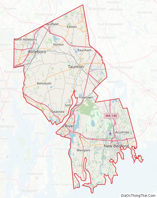
Bristol County Road Map
Geography
According to the U.S. Census Bureau, the county has a total area of 691 square miles (1,790 km), of which 553 square miles (1,430 km) is land and 138 square miles (360 km) (20%) is water. The highest point in Bristol County is Sunrise Hill (Watery Hill) at 390 feet (120 m) above sea level located in World War I Memorial Park in North Attleborough. It is also to note that Bristol, Plymouth and Taunton are all places in South West England. Their Massachusetts cousins were named after the originals as South West England was the focal point for sailing and discovery at the time of America’s discovery. John Cabot set sail from Bristol and sailed down the Severn on which lies Newport in Wales.
Adjacent counties
- Norfolk County, Massachusetts—north
- Plymouth County, Massachusetts—east
- Newport County, Rhode Island—southwest
- Bristol County, Rhode Island—west
- Providence County, Rhode Island—northwest
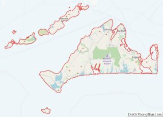
To the south, Dukes County, Massachusetts is opposite Buzzards Bay from Bristol County.
National protected area
- New Bedford Whaling National Historical Park
Bristol County Topographic Map
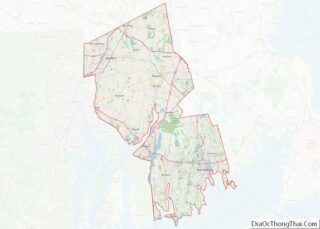
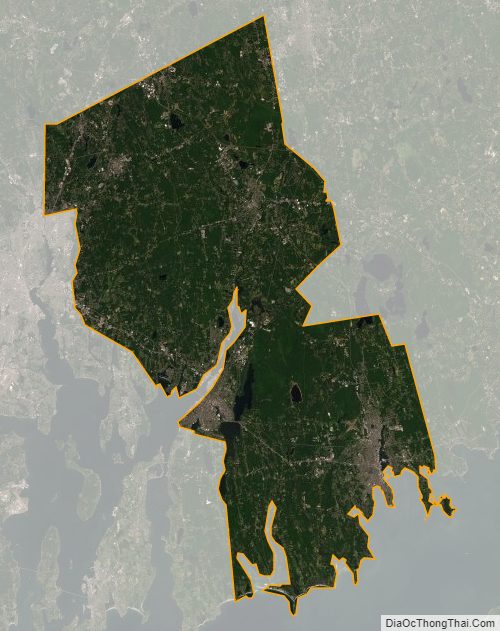
Bristol County Satellite Map
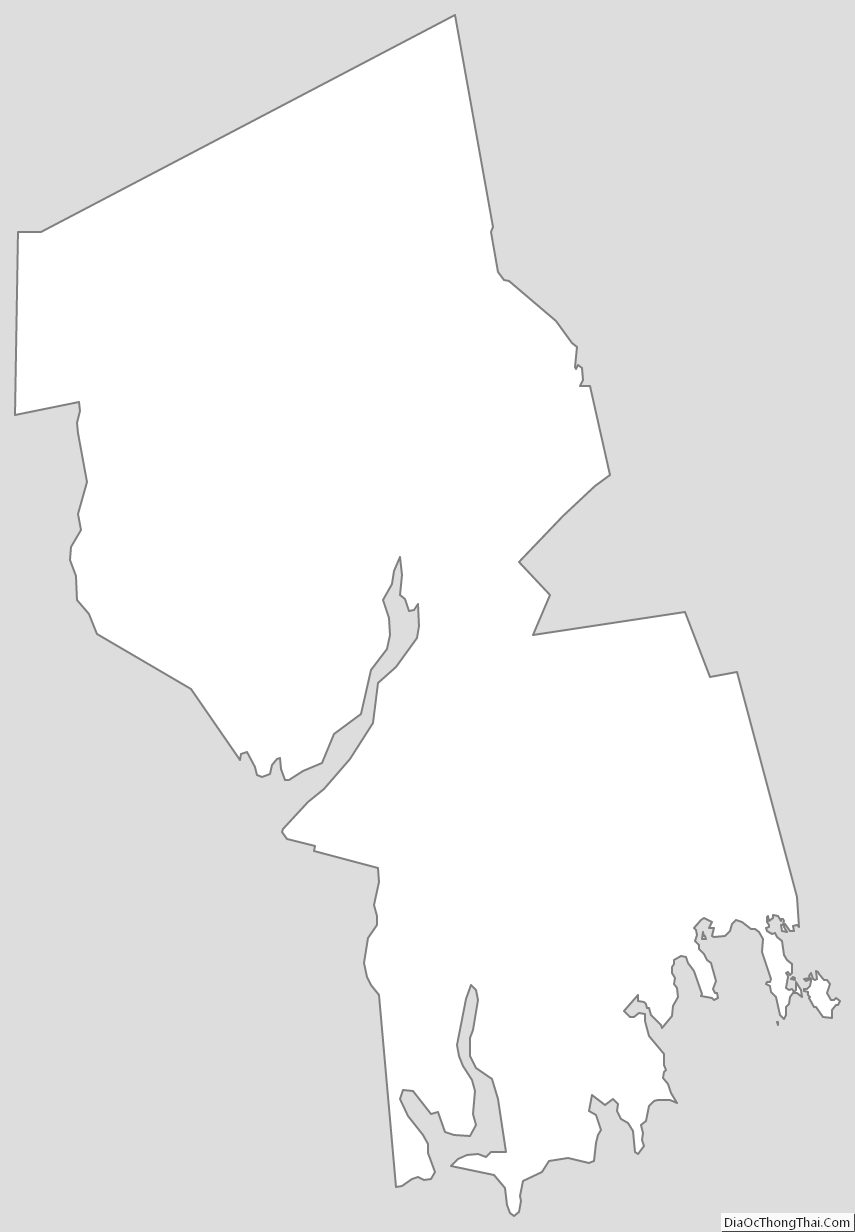
Bristol County Outline Map