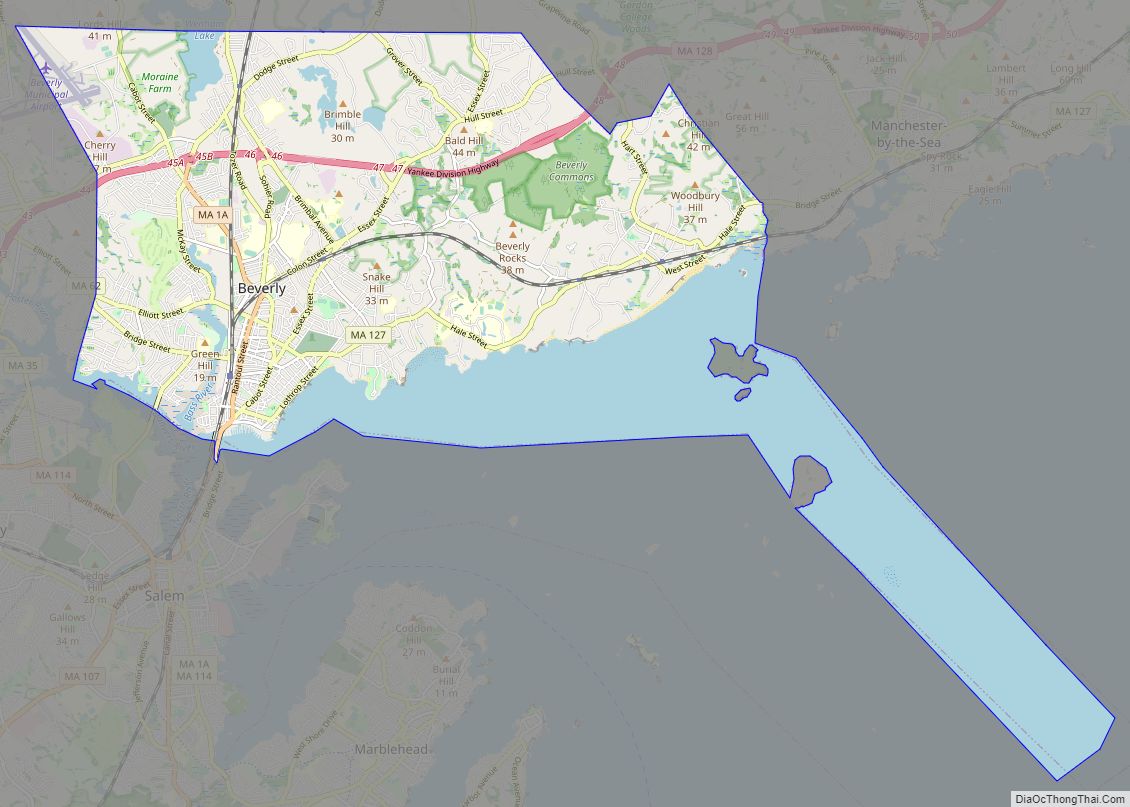
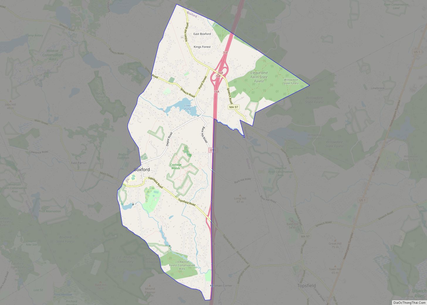
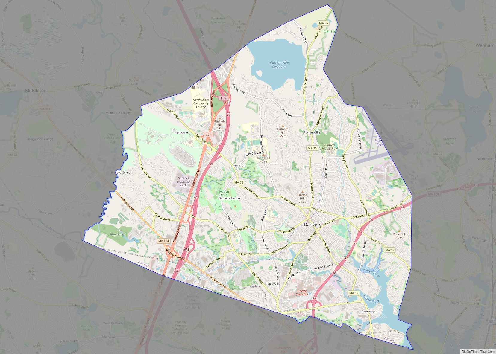
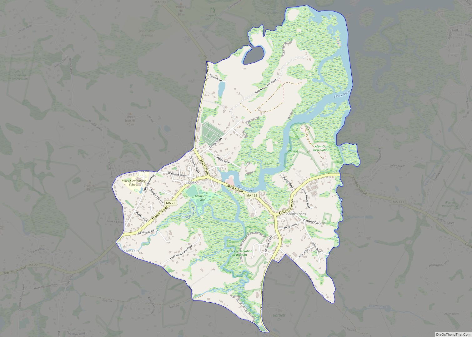
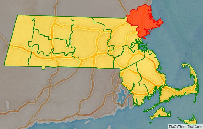
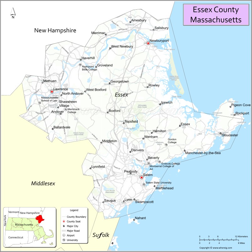
Essex County is a county in the northeastern part of the U.S. state of Massachusetts. At the 2020 census, the total population was 809,829, making it the third-most populous county in the state, and the eightieth-most populous in the country. It is part of the Greater Boston area (the Boston–Cambridge–Newton, MA–NH Metropolitan Statistical Area). The largest city in Essex County is Lynn. The county was named after the English county of Essex. It has two traditional county seats: Salem and Lawrence. Prior to the dissolution of the county government in 1999, Salem had jurisdiction over the Southern Essex District, and Lawrence had jurisdiction over the Northern Essex District, but currently these cities do not function as seats of government. However, the county and the districts remain as administrative regions recognized by various governmental agencies, which gathered vital statistics or disposed of judicial case loads under these geographic subdivisions, and are required to keep the records based on them. The county has been designated the Essex National Heritage Area by the National Park Service.
| Name: | Essex County |
|---|---|
| FIPS code: | 25-009 |
| State: | Massachusetts |
| Founded: | 1643 |
| Named for: | Essex |
| Seat: | Salem and Lawrence |
| Largest city: | Lynn |
| Total Area: | 828 sq mi (2,140 km²) |
| Land Area: | 493 sq mi (1,280 km²) |
| Total Population: | 809,829 |
| Population Density: | 1,643/sq mi (634/km²) |
| Time zone: | UTC−5 (Eastern) |
| Summer Time Zone (DST): | UTC−4 (EDT) |
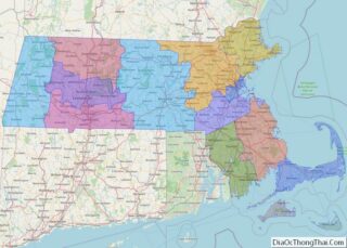
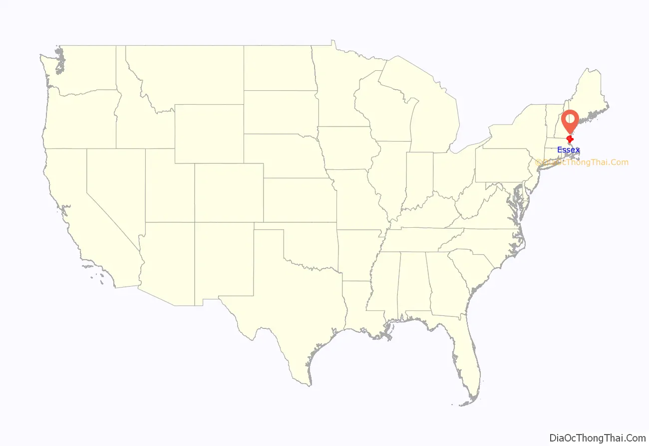
Essex County location map. Where is Essex County?
History
The county was created by the General Court of the Massachusetts Bay Colony on May 10, 1643, when it was ordered “that the whole plantation within this jurisdiction be divided into four sheires”. Named after the county in England, Essex then comprised the towns of Salem, Lynn, Wenham, Ipswich, Rowley, Newbury, Gloucester and Andover. In 1680, Haverhill, Amesbury and Salisbury, located north of the Merrimack River, were annexed to Essex County. These communities had been part of Massachusetts’ colonial-era Norfolk County. The remaining four towns within colonial Norfolk County, which included Exeter and what is now Portsmouth, were transferred to what became Rockingham County in the Province of New Hampshire. The Massachusetts-based settlements were then subdivided over the centuries to produce Essex County’s modern composition of cities and towns.
Essex County is where Elbridge Gerry (who was born and raised in Marblehead) created a legislative district in 1812 that gave rise to the word gerrymandering.
Due to a confluence of floods, hurricanes, and severe winter storms, Essex County has had more disaster declarations than most other U.S. counties, from 1964 to 2016.
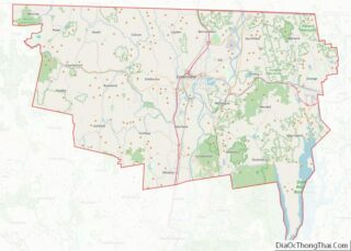
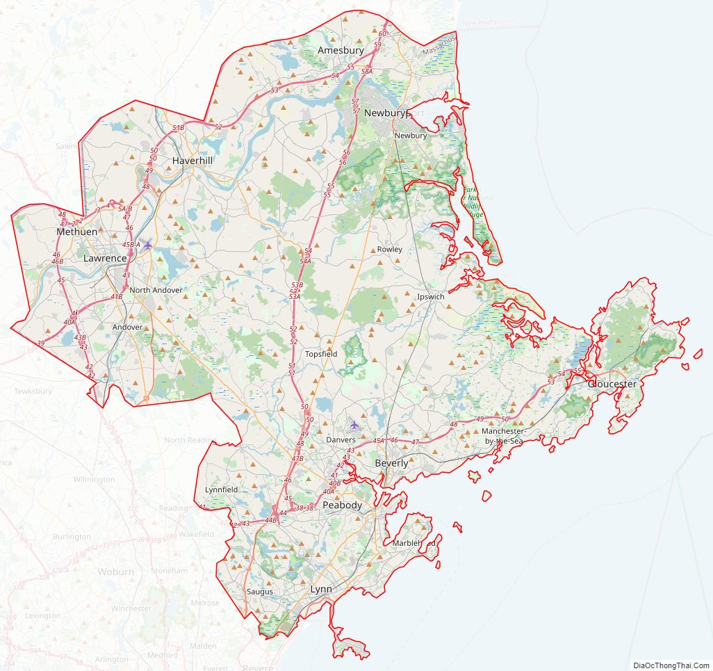
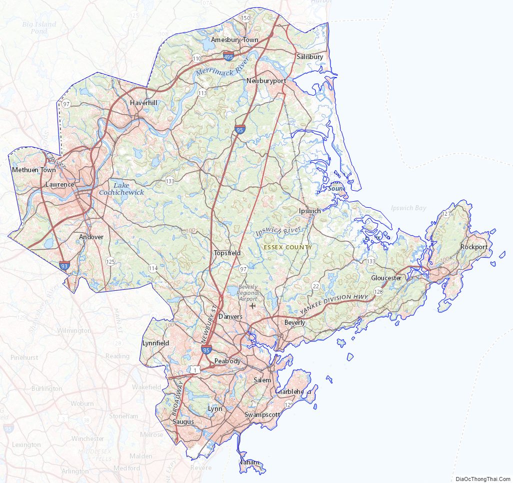
Essex County Road Map
Geography
Essex County is roughly diamond-shaped and occupies the northeastern corner of the state of Massachusetts.
According to the U.S. Census Bureau, the county has a total area of 828 square miles (2,140 km), of which 493 square miles (1,280 km) is land and 336 square miles (870 km) (41%) is water. Essex County is adjacent to Rockingham County, New Hampshire to the north, the Atlantic Ocean (specifically the Gulf of Maine and Massachusetts Bay) to the east, Suffolk County to the south, Middlesex County to the west and a very small portion of Hillsborough County, New Hampshire to the far north west in Methuen. All county land is incorporated into towns or cities.
Essex County includes the North Shore, Cape Ann, and the lower portions of the Merrimack Valley.
Transportation
These routes pass through Essex County:
- I-93, in Methuen and Andover
- I-95, about five miles from the coast, through Newburyport
- I-495, from Andover to Salisbury through Lawrence and Haverhill
- US 1, between I-95 and Route 1A, close to the coast
- Route 1A, along the coast
- Route 22, in Beverly and Essex
- Route 28, in Methuen and Andover
- Route 35, in Peabody and Danvers
- Route 62, from Middleton to Beverly
- Route 97, from Methuen to Beverly
- Route 99, in Saugus
- Route 107, from Saugus to Beverly
- Route 108, in Haverhill
- Route 110, from Methuen to Salisbury through Lawrence and Haverhill
- Route 113, from Methuen to Newburyport through Haverhill
- Route 114, from Lawrence to Marblehead through Middleton
- Route 125, from Andover to Haverhill
- Route 127, from Beverly to Gloucester
- Route 127A, at the tip of Cape Ann
- Route 128, Lynnfield through Cape Ann
- Route 129, from Lynnfield to Marblehead
- Route 129A, in Lynn
- Route 133, from Andover to Gloucester
- Route 150, in Amesbury
- Route 213, in Methuen
- Route 286, in Salisbury
The Lawrence Municipal Airport and Beverly Municipal Airport are regional airports within the county; the nearest commercial airports are Logan Airport in Boston and Manchester-Boston Regional Airport in Manchester, NH.
The MBTA commuter rail has two lines operating in Essex County: the Haverhill Line and the Newburyport Line, both of which go toward Boston. Close to Boston, MBTA buses also exist. The MVRTA is a bus company that connects cities within the Merrimack Valley portion of Essex County.
National protected areas
Because of Essex County’s rich history, which includes 17th century colonial history, maritime history spanning its existence, and leadership in the expansions of the textile industry in the 19th century, the entire county has been designated the Essex National Heritage Area by the National Park Service.
The following areas of national significance have also been preserved:
- Parker River National Wildlife Refuge
- Salem Maritime National Historic Site
- Saugus Iron Works National Historic Site
- Thacher Island National Wildlife Refuge
Essex County Topographic Map
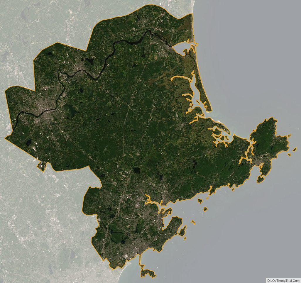
Essex County Satellite Map
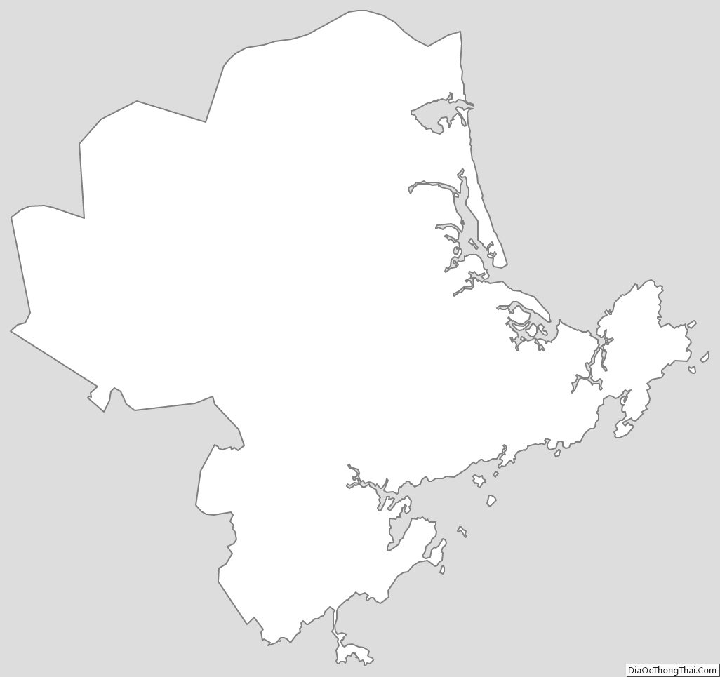
Essex County Outline Map