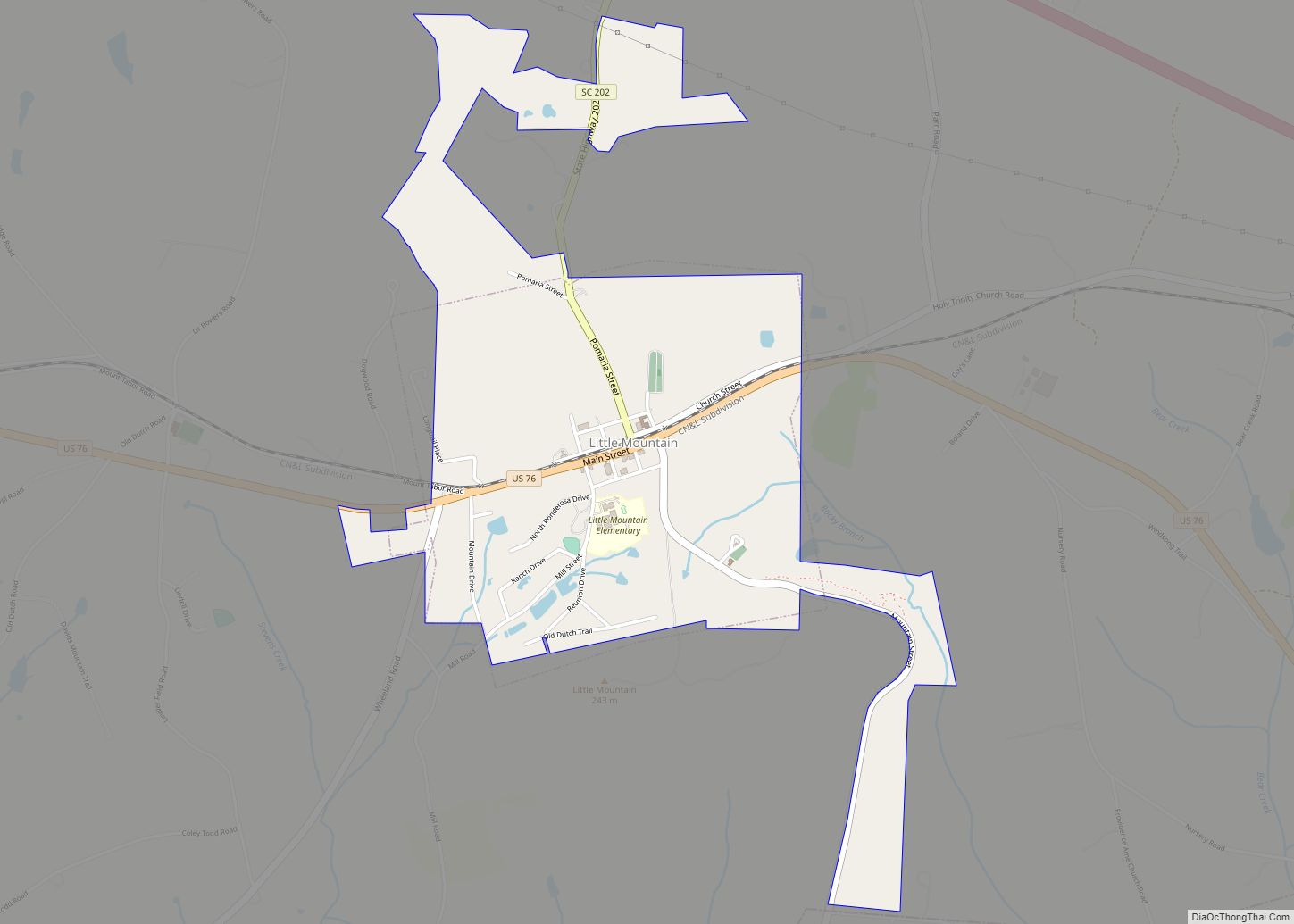
Newberry County is a county located in the U.S. state of South Carolina. As of the 2020 census, its population was 37,719. Its county seat is Newberry. The name is of unknown origin.
Newberry County comprises the Newberry, SC Micropolitan Statistical Area
| Name: | Newberry County |
|---|---|
| FIPS code: | 45-071 |
| State: | South Carolina |
| Founded: | 1785 |
| Named for: | No records exists but likely named after a settler in the area named Newberry |
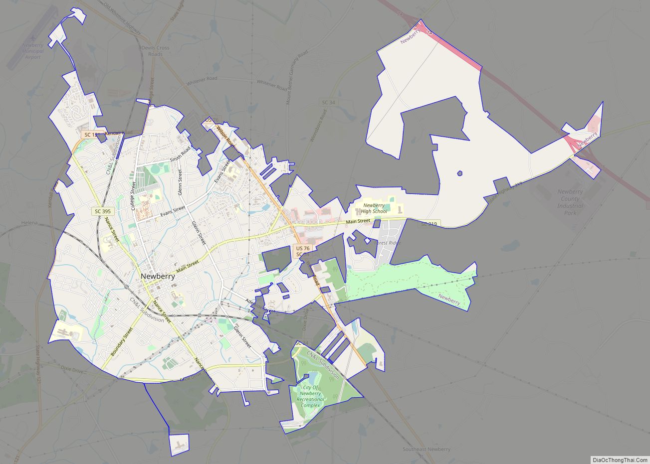
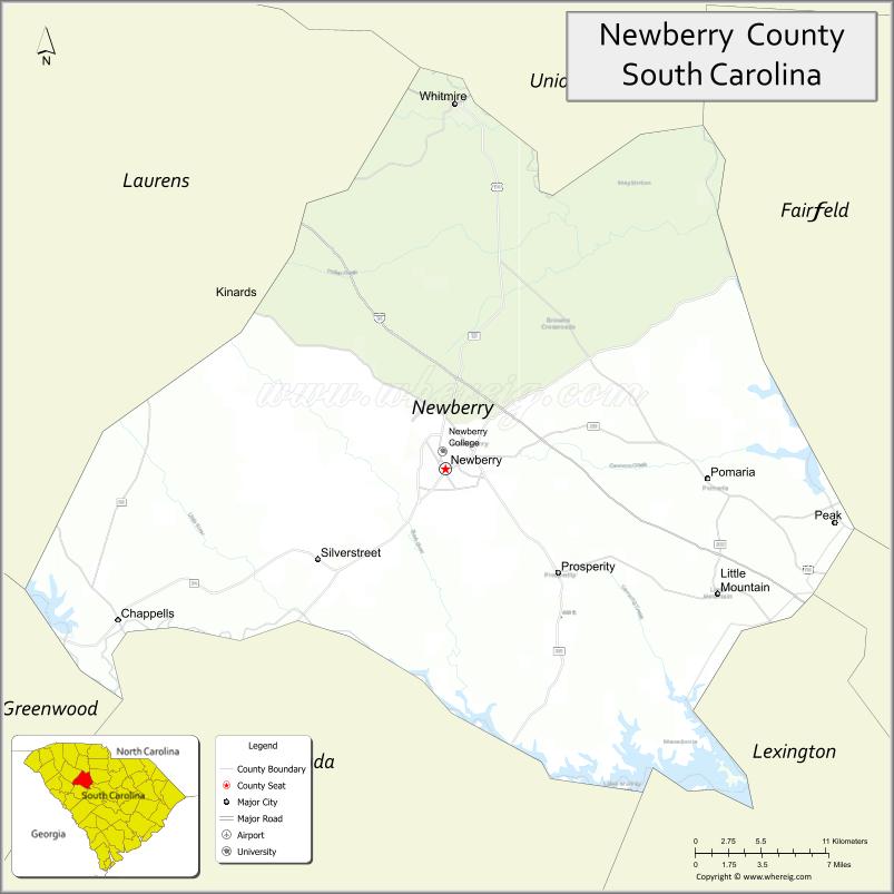
| Seat: | Newberry |
| Largest city: | Newberry |
| Total Area: | 647 sq mi (1,680 km²) |
| Land Area: | 630 sq mi (1,600 km²) |
| Total Population: | 37,996 |
| Population Density: | 60.3/sq mi (23.3/km²) |
| Time zone: | UTC−5 (Eastern) |
| Summer Time Zone (DST): | UTC−4 (EDT) |
| Website: | www.newberrycounty.net |
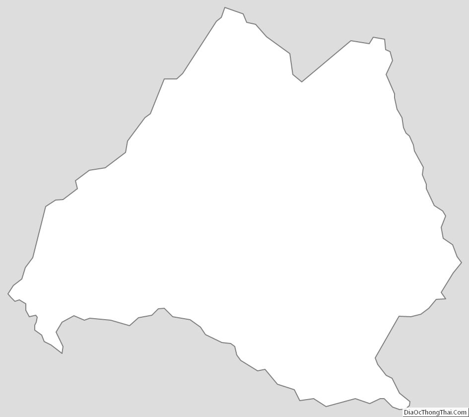
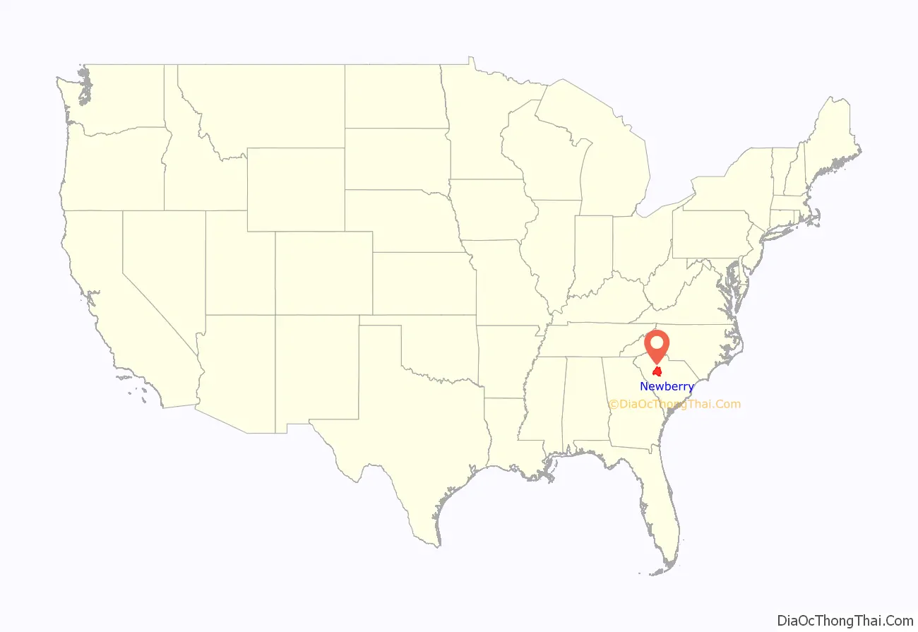
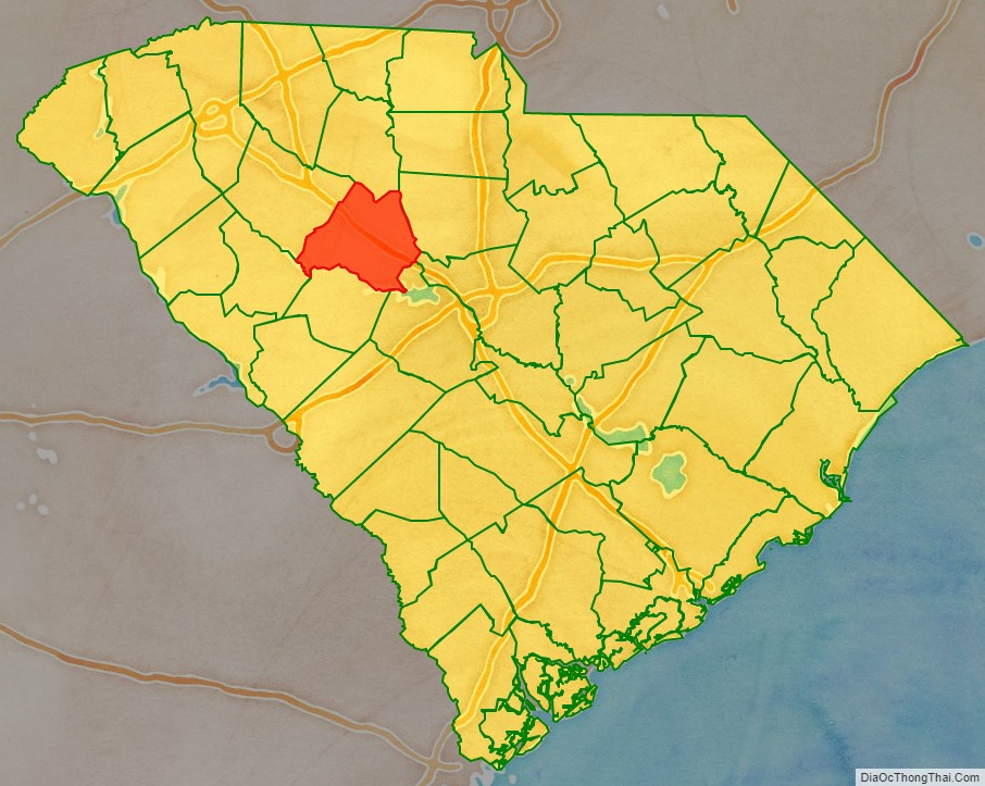
Newberry County location map. Where is Newberry County?
History
Newberry County was formed from Ninety-Six District in 1785. Prior to its formal founding, the area was the site of several American Revolutionary War battles: Williams’ Plantation, Dec. 31, 1780; Mud Lick, March 2, 1781; and Bush River, May 1781.The town of Newberry was founded in 1789 as the county seat and was sometimes called Newberry Courthouse for that reason.
Originally settled by yeomen farmers, in the nineteenth century numerous plantations were established for the cultivation of short-staple cotton. Its processing had been made profitable by invention of the cotton gin. Cotton was the primary crop grown in Newberry County before the American Civil War. Newberry was a trading town, and expanded with the arrival of the railroad in the early 1850s, which connected it to major towns and markets. Newberry College was established by the Lutheran Church in 1856.
The Civil War interrupted growth in the county; the warfare and loss of lives of many southern men disrupted the state economy. The first cotton mills were constructed in the county in the 1880s, and quickly became an important part of the economy and a source of jobs. With the mechanization of agriculture in the early 20th century, labor needs were reduced.
Since the 1970s the population of Newberry County has been growing from 29,416 in 1960 to 37,719 in 2020.
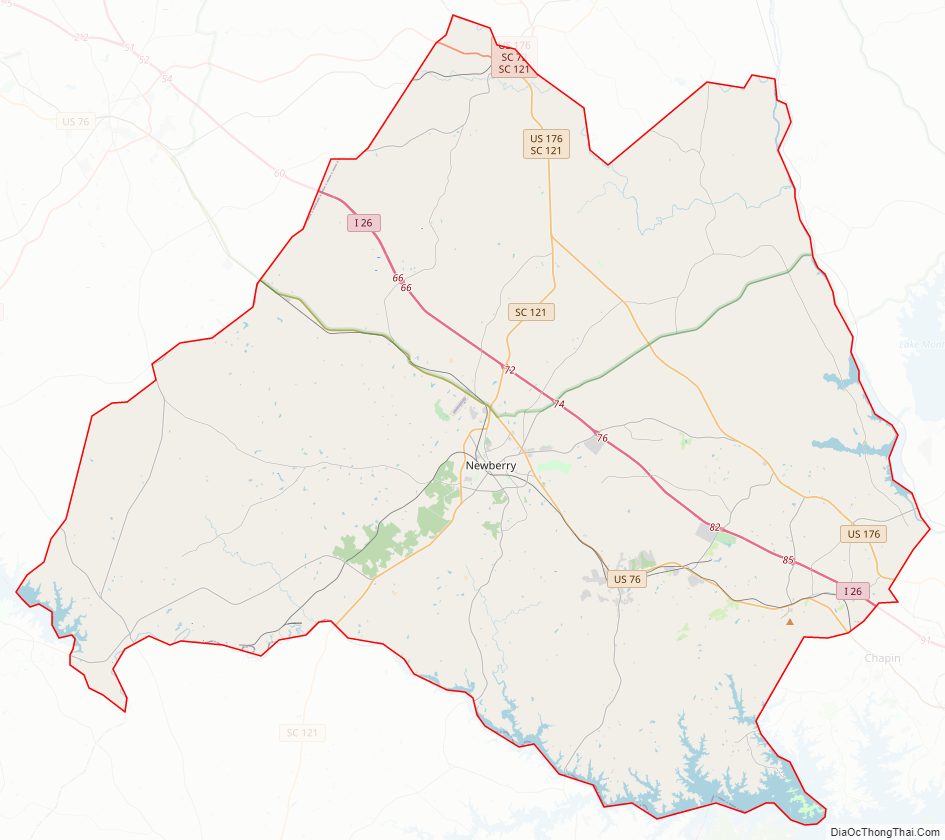
Newberry County Road Map
Geography
According to the U.S. Census Bureau, the county has a total area of 647 square miles (1,680 km), of which 630 square miles (1,600 km) is land and 17 square miles (44 km) (2.7%) is water.
National protected area
- Belfast Wildlife Management Area (part)
- Sumter National Forest (part)
State and local protected areas
- Broad River Scenic Area
- Dreher Island State Park
- Rocky Branch Natural Area
Major water bodies
- Broad River
- Bush River
- Camping Creek
- Cannon’s Creek
- Enoree River
- Lake Murray
- Parr Shoals Reservoir
- Saluda River
Adjacent counties
- Union County – north
- Fairfield County – east
- Lexington County – southeast
- Richland County – southeast
- Saluda County – south
- Greenwood County – southwest
- Laurens County – northwest
Major highways
- I-26
- US 76
- US 176
- US 176 Conn.
- SC 34
- SC 34 Conn.
- SC 56
- SC 66
- SC 72
- SC 72 Conn.
- SC 121
- SC 202
- SC 213
- SC 219
- SC 391
- SC 395
- SC 560
Major infrastructure
- Newberry County Water & Sewer Authority
- Newberry Electric Cooperative
- Clinton-Newberry Natural Gas Authority
Newberry County Topographic Map
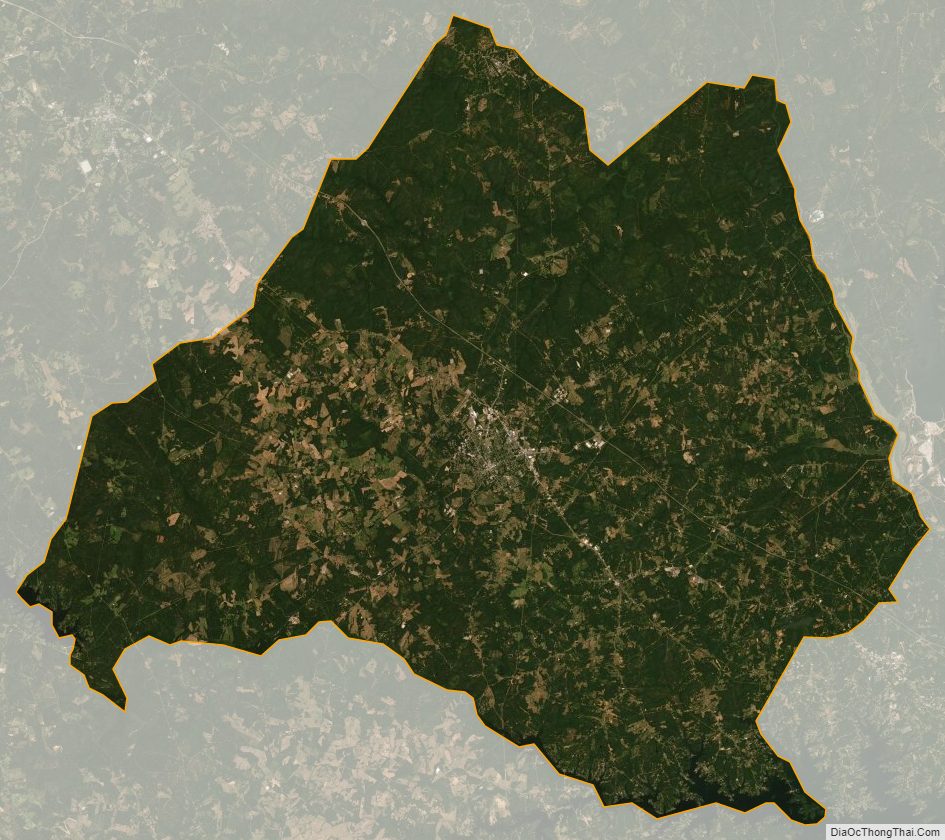
Newberry County Satellite Map
Newberry County Outline Map