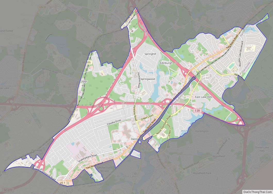
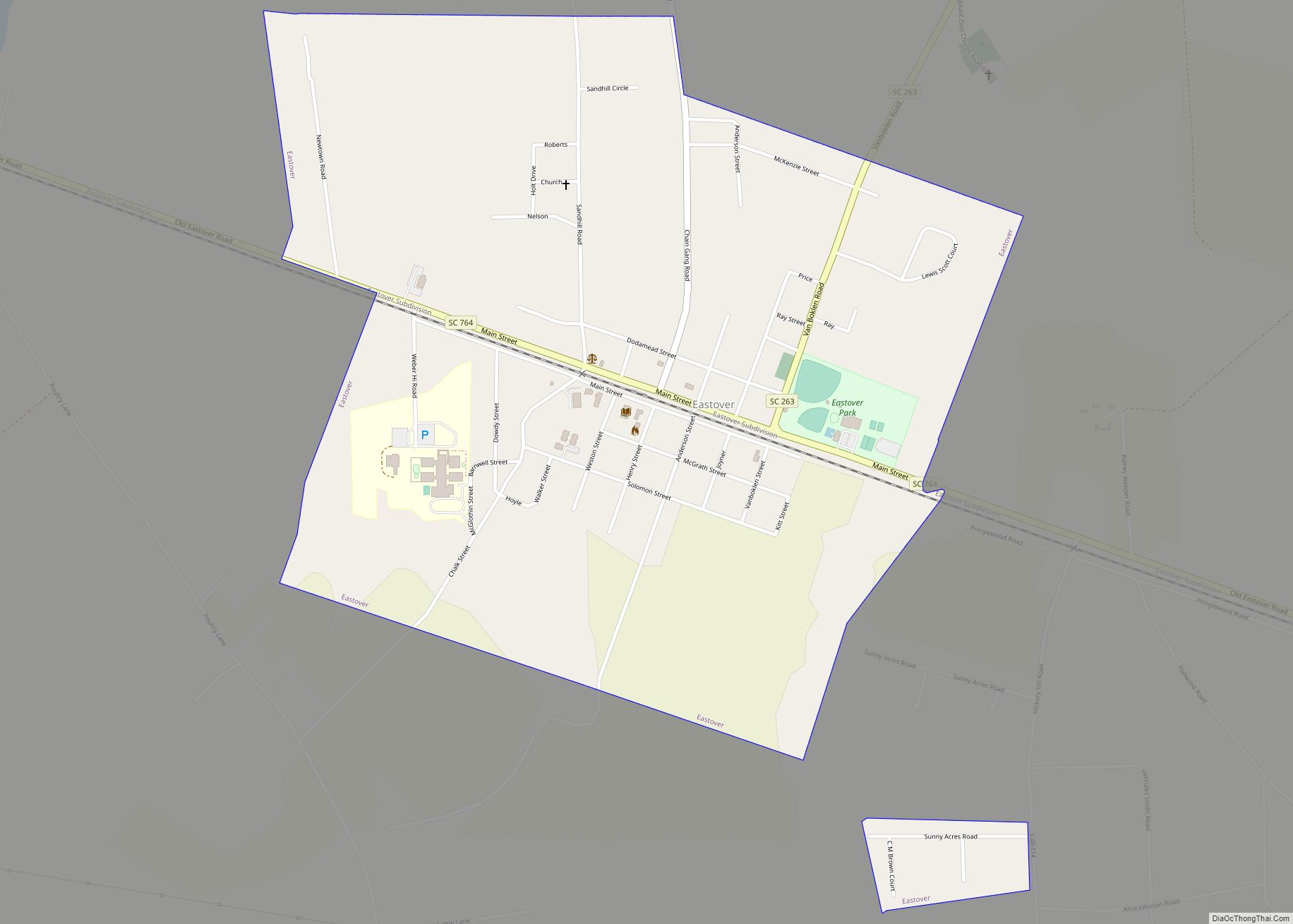
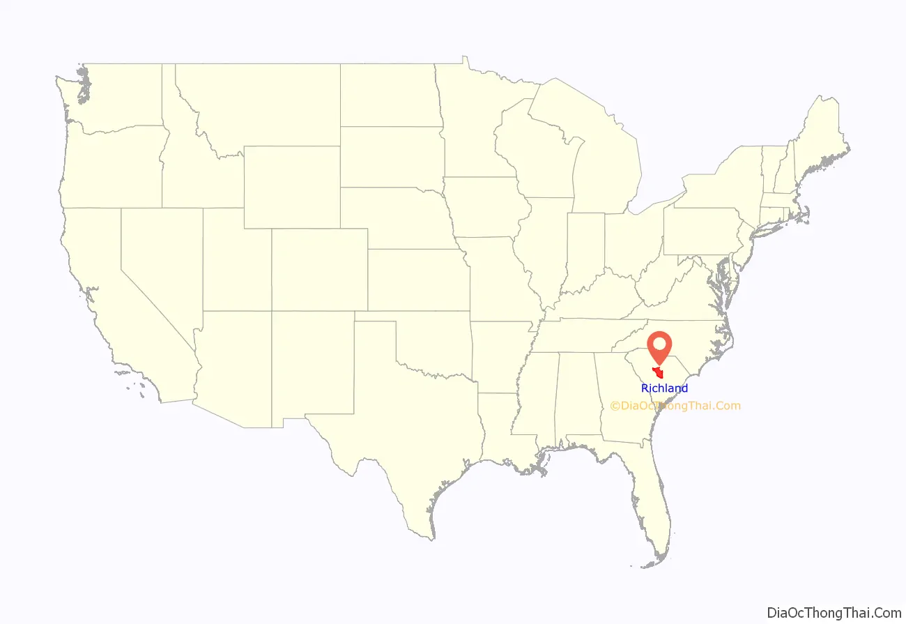
Richland County is located in the U.S. state of South Carolina. As of the 2020 census, its population was 416,147, making it the second-most populous county in South Carolina, behind only Greenville County. The county seat and largest city is Columbia, the state capital. The county was established on March 12, 1785. Richland County is part of the Columbia, SC metropolitan statistical area. In 2010, the center of population of South Carolina was located in Richland County, in the city of Columbia.
| Name: | Richland County |
|---|---|
| FIPS code: | 45-079 |
| State: | South Carolina |
| Founded: | 1785 |
| Named for: | The county’s “Rich Land” |
| Seat: | Columbia |
| Largest city: | Columbia |
| Total Area: | 772 sq mi (2,000 km²) |
| Land Area: | 757 sq mi (1,960 km²) |
| Total Population: | 416,147 |
| Population Density: | 540/sq mi (210/km²) |
| Time zone: | UTC−5 (Eastern) |
| Summer Time Zone (DST): | UTC−4 (EDT) |
| Website: | www.richlandcountysc.gov |
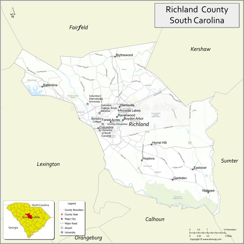
Richland County location map. Where is Richland County?
History
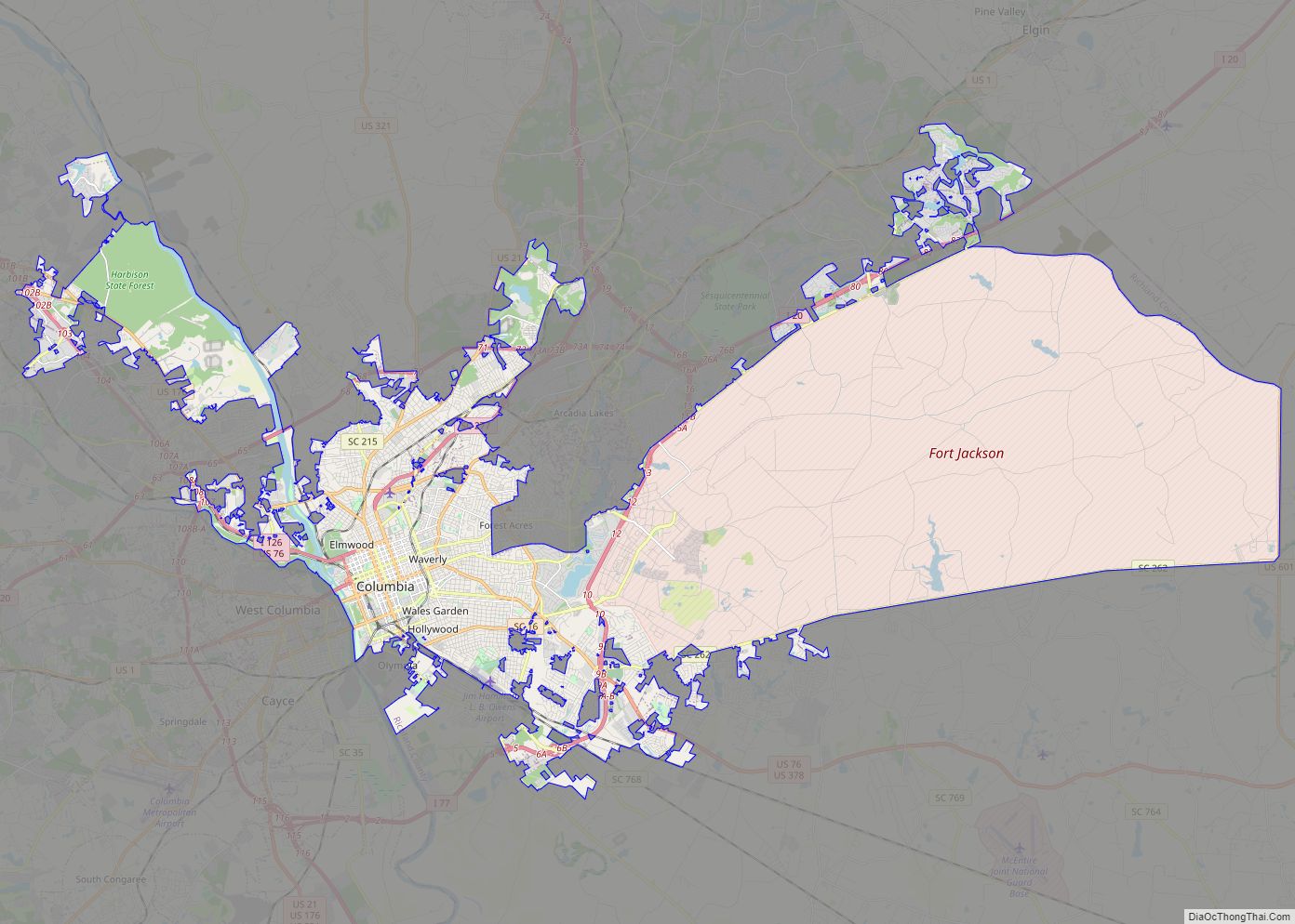
Richland County was probably named for its “rich land”. The county was formed in 1785 as part of the large Camden District. A small part of Richland County was later ceded to adjacent Kershaw County in 1791. The county seat and largest city is Columbia, which is also the state capital. In 1786, the state legislature decided to move the capital from Charleston to a more central location. A site was chosen in Richland County, which is in the geographic center of the state, and a new town was laid out. Richland County’s boundaries were formally incorporated on December 18, 1799. Cotton from the surrounding plantations was shipped through Columbia and later manufactured into textiles there. General William T. Sherman captured Columbia during the Civil War and his troops burned the town and parts of the county on February 17, 1865. The U. S. Army returned on friendlier terms in 1917, when Fort Jackson was established, which is now the largest and most active Initial Entry Training Center in the U.S. Army. The South Carolina State House is located in downtown Columbia.
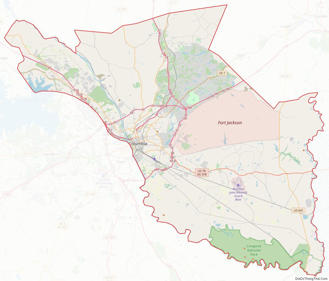
Richland County Road Map
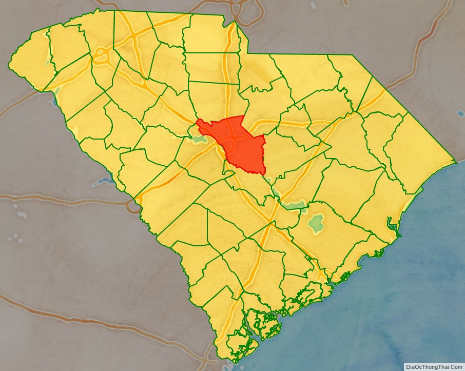
Geography
According to the U.S. Census Bureau, the county has a total area of 772 square miles (2,000 km), of which 15 square miles (39 km) (1.9%) are covered by water. Richland County is situated in the center of South Carolina.
National protected area
- Congaree National Park
State and local protected areas/sites
- Harbison State Forest
- Riverbanks Zoo and Garden
- Sesquicentennial State Park
- South Carolina State Fair
Major water bodies
- Broad River
- Congaree River
- Lake Murray
- Little River
- Saluda River
- Wateree River
Adjacent counties
- Kershaw County – northeast
- Fairfield County – north
- Sumter County – east
- Lexington County – west
- Calhoun County – south
- Newberry County – northwest
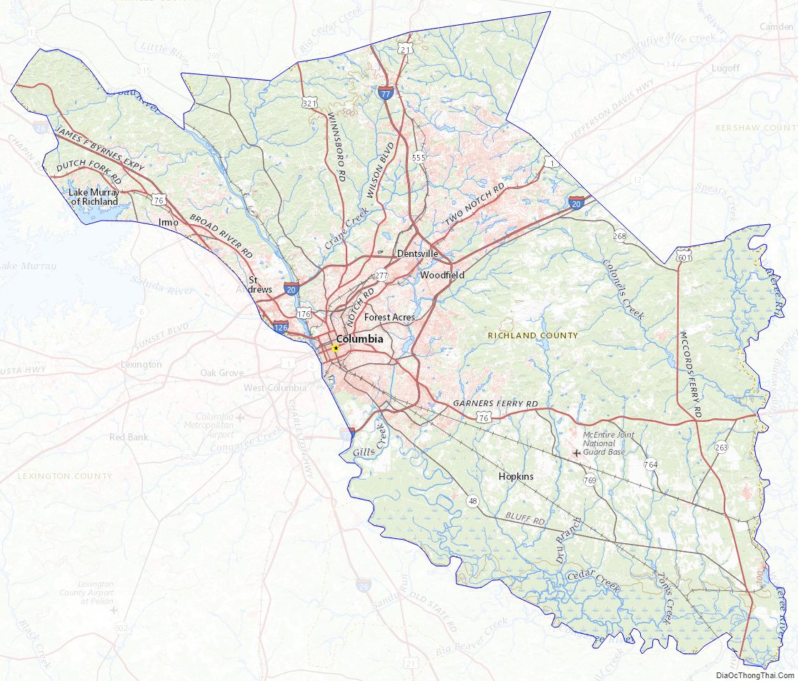
Richland County Topographic Map
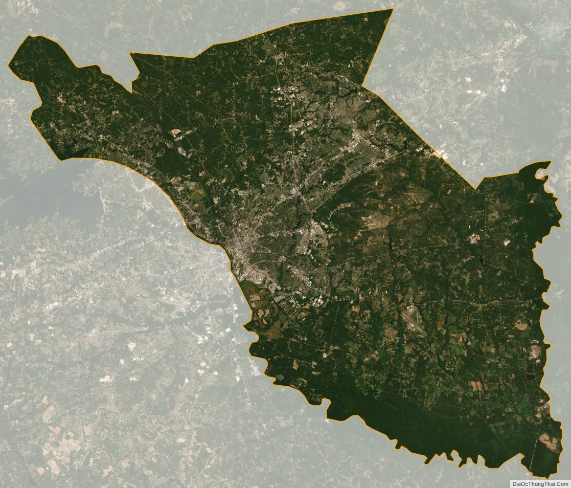
Richland County Satellite Map
Richland County Outline Map