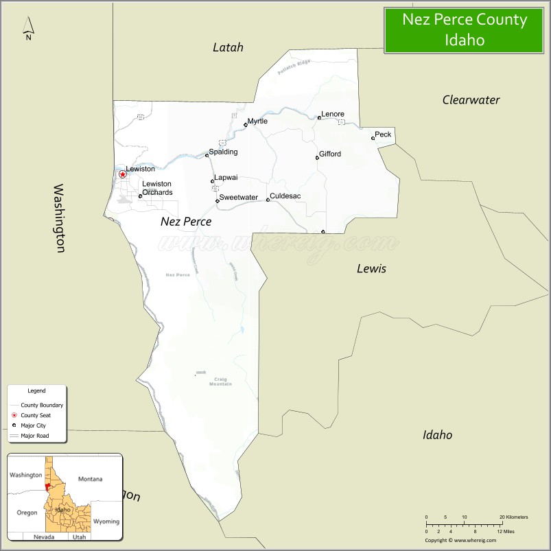
Nez Perce County (pron. Nezz Purse) is a county located in the U.S. state of Idaho. As of the 2020 census, the population was 42,090. The county seat is Lewiston. The county is named after the Native American Nez Percé tribe. Nez Perce County is part of the Lewiston, Idaho–WA Metropolitan Statistical Area.
| Name: | Nez Perce County |
|---|---|
| FIPS code: | 16-069 |
| State: | Idaho |
| Founded: | February 4, 1864 |
| Named for: | Nez Percé tribe |
| Seat: | Lewiston |
| Largest city: | Lewiston |
| Total Area: | 856 sq mi (2,220 km²) |
| Land Area: | 848 sq mi (2,200 km²) |
| Total Population: | 42,090 |
| Population Density: | 49/sq mi (19/km²) |
| Time zone: | UTC−8 (Pacific) |
| Summer Time Zone (DST): | UTC−7 (PDT) |
| Website: | www.co.nezperce.id.us |
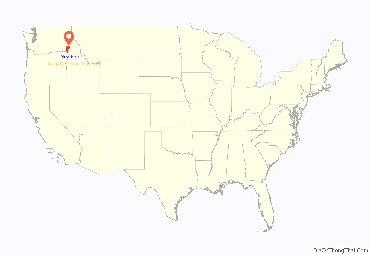
Nez Perce County location map. Where is Nez Perce County?
History
Nez Perce County was originally organized in 1861, when the area was part of Washington Territory. It was reorganized in 1864 by the Idaho Territorial Legislature and was later subdivided into new counties. Rapid migration to the Palouse in the 1880s led to the formation of Latah County in 1888. Isolated from its county seat of Wallace in the Silver Valley, the southern portion of Shoshone County was annexed by Nez Perce County in 1904, then became Clearwater County in 1911. Lewis County was also formed from Nez Perce County in 1911.
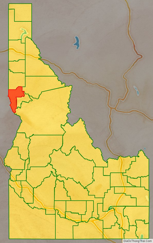
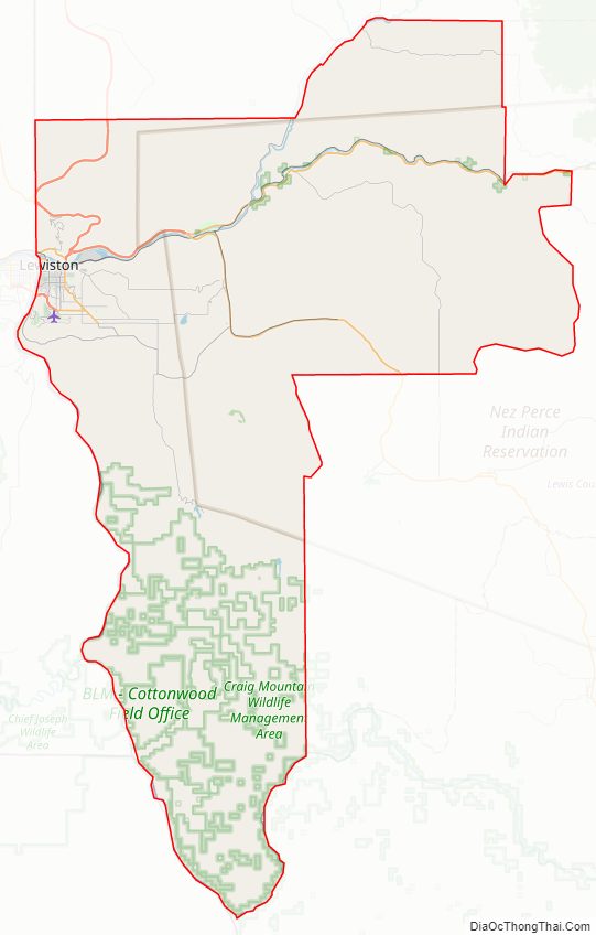
Nez Perce County Road Map
Geography
According to the U.S. Census Bureau, the county has a total area of 856 square miles (2,220 km), of which 848 square miles (2,200 km) is land and 8.2 square miles (21 km) (1.0%) is water.
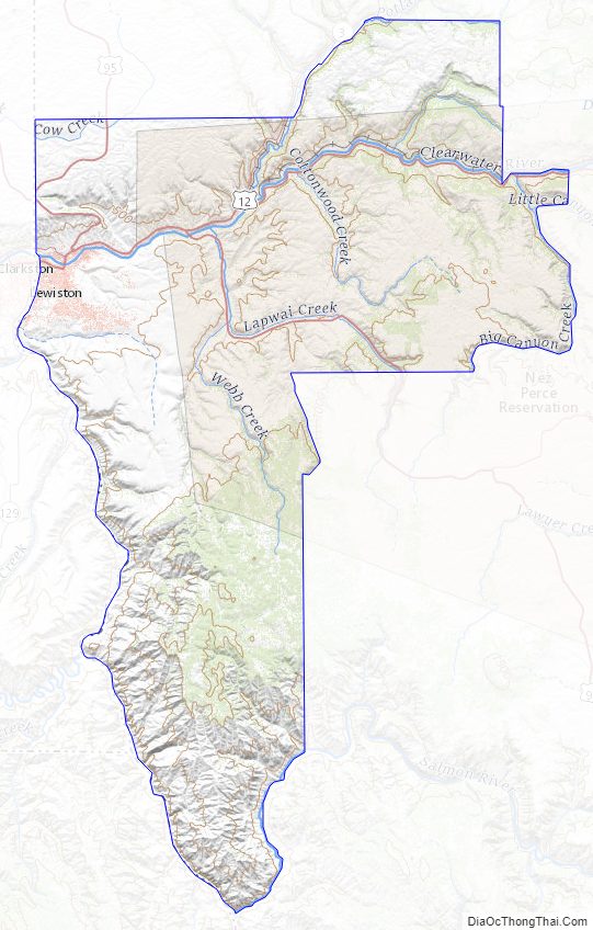
Nez Perce County has two rivers, the Clearwater and the Snake, which meet in Lewiston and then flow west. The Clearwater flows from the east and the Snake from the south, creating the state border with Washington (and further upstream, Oregon). The lowest point in the state of Idaho is located on the Snake River in Lewiston in Nez Perce County, where it flows out of Idaho and into Washington.
The northern portion of the county is part of the Palouse, a wide and rolling agricultural region of the middle Columbia basin.
Adjacent counties
- Latah County – north
- Clearwater County – northeast
- Lewis County – east
- Idaho County – southeast/Mountain Time Border
- Wallowa County, Oregon – southwest
- Asotin County, Washington – west
- Whitman County, Washington – northwest
Major highways
- US-12
- US-95
- US-195
- SH-3
National protected areas
- Clearwater National Forest (part)
- Nez Perce National Historical Park (part)
- Wallowa–Whitman National Forest (part)
Nez Perce County Topographic Map
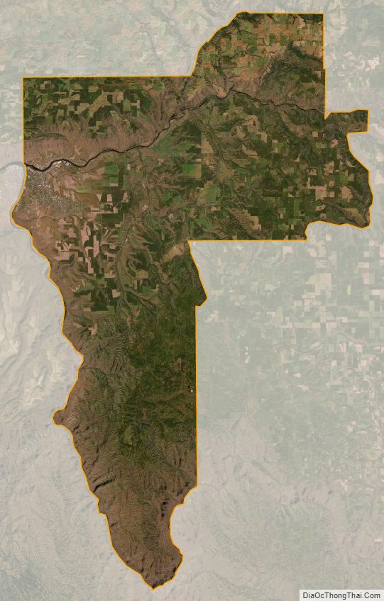
Nez Perce County Satellite Map
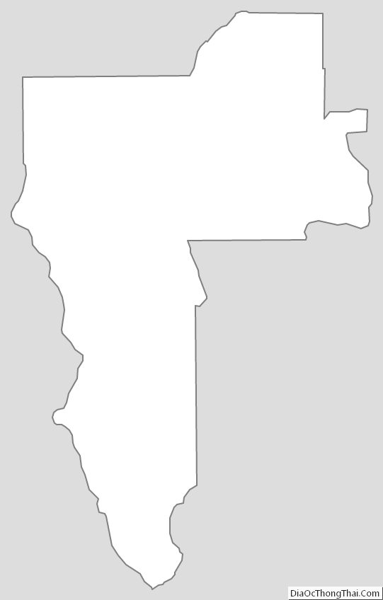
Nez Perce County Outline Map